Baker's Wood
Wood, Forest in Somerset Somerset West and Taunton
England
Baker's Wood
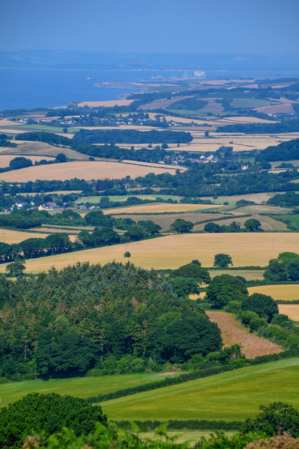
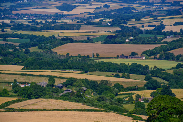
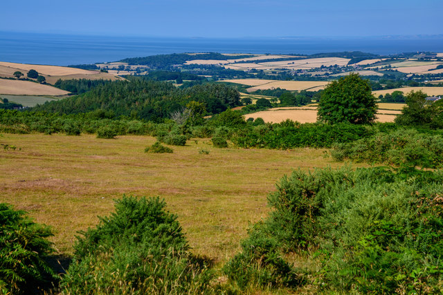
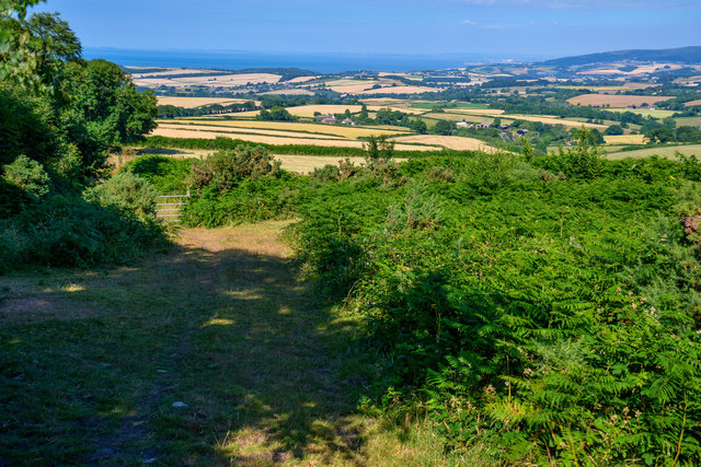
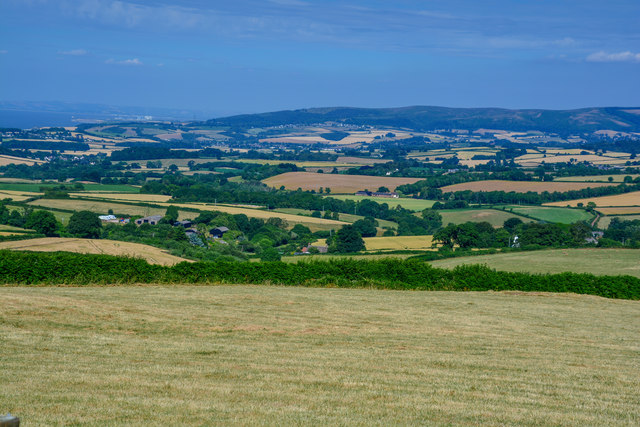
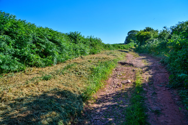
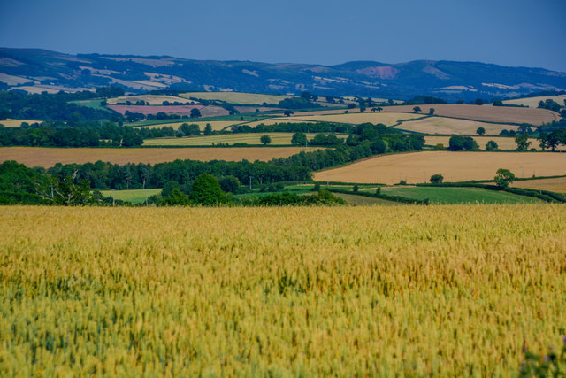
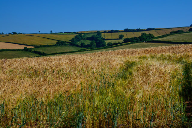
Baker's Wood is a picturesque woodland located in Somerset, England. Nestled in the heart of the county, this enchanting forest covers an area of approximately 50 acres, making it an ideal destination for nature lovers and outdoor enthusiasts.
The wood is known for its diverse range of tree species, including oak, birch, beech, and pine, which create a rich tapestry of colors throughout the year. The forest floor is carpeted with a variety of wildflowers and ferns, adding to its natural beauty.
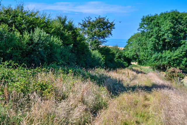
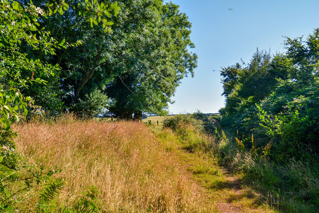
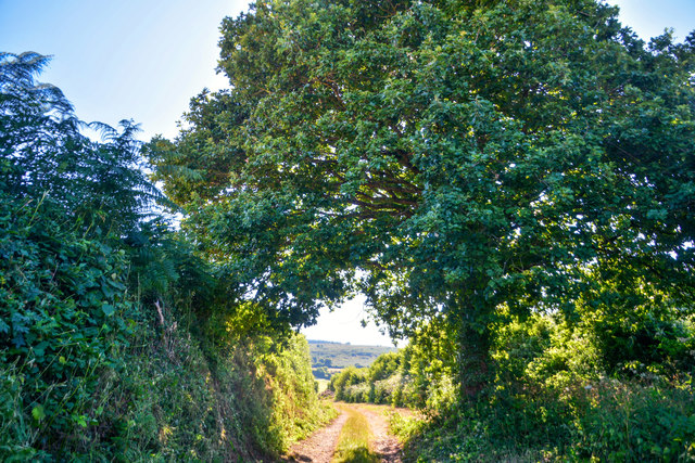
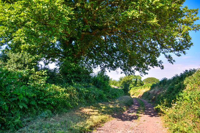
Baker's Wood offers a tranquil escape from the hustle and bustle of everyday life. Visitors can explore the numerous walking trails that wind through the forest, allowing them to immerse themselves in the peaceful ambiance and discover the hidden treasures of the wood. Wildlife is abundant in Baker's Wood, with sightings of deer, rabbits, foxes, and a wide array of bird species.
For those seeking a more adventurous experience, the wood provides opportunities for camping and picnicking. There are designated camping areas equipped with facilities for overnight stays, allowing visitors to fully embrace the serenity of the natural surroundings.
Baker's Wood is also a popular spot for educational activities, with schools and nature organizations organizing field trips to teach children about the importance of conservation and wildlife preservation.
Overall, Baker's Wood is a captivating forest that offers a perfect blend of natural beauty, tranquility, and recreational activities. It is a haven for nature enthusiasts and a cherished gem of Somerset.
If you have any feedback on the listing, please let us know in the comments section below.
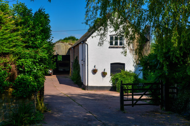
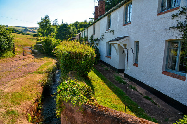
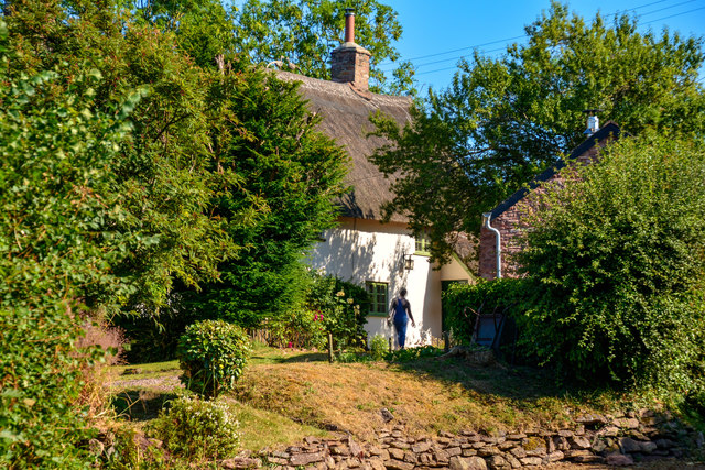
Baker's Wood Images
Images are sourced within 2km of 51.153042/-3.4219312 or Grid Reference ST0040. Thanks to Geograph Open Source API. All images are credited.
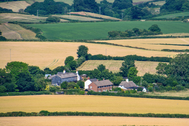


Baker's Wood is located at Grid Ref: ST0040 (Lat: 51.153042, Lng: -3.4219312)
Administrative County: Somerset
District: Somerset West and Taunton
Police Authority: Avon and Somerset
What 3 Words
///impaled.texts.passions. Near Watchet, Somerset
Nearby Locations
Related Wikis

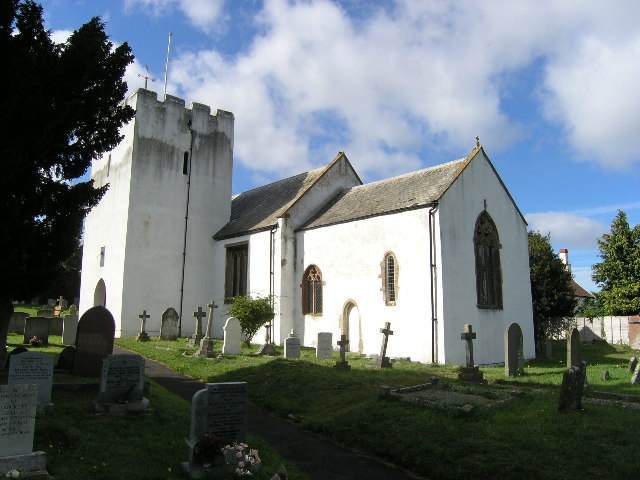
Church of St Bartholomew, Rodhuish
The Anglican Church of St Bartholomew in Rodhuish, Somerset, England was built in the 15th century. It is a Grade II* listed building. == History == The...

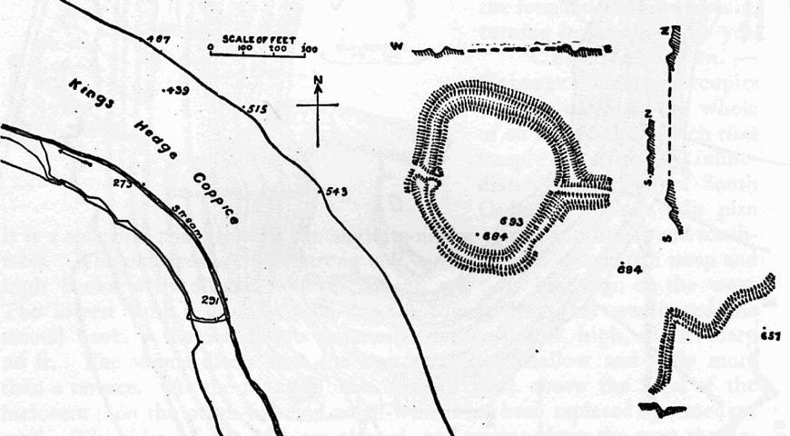
Rodhuish Common
Rodhuish Common is a univallate Iron Age hill fort in the West Somerset district of Somerset, England. There is a small oval enclosure which is thought...
Withycombe
Withycombe is a village, civil parish, and former manor 2.5 miles (4 km) south east of Dunster, and 5 miles (8 km) from Minehead within the Exmoor National...

Carhampton
Carhampton is a village and civil parish in Somerset, England, 4 miles (6.4 km) to the east of Minehead. Carhampton civil parish stretches from the Bristol...
Bat's Castle
Bats Castle is an Iron Age hillfort at the top of a 213 metres (699 ft) high hill in the parish of Carhampton south south west of Dunster in Somerset,...

Long Wood Enclosure
Long Wood Enclosure is an enclosure which may have been a univallate Iron Age hill fort, in the West Somerset district of Somerset, England. The hill fort...

Black Ball Camp
Black Ball Camp is an Iron Age hillfort South West of Dunster, Somerset, England on the northern summit of Gallox Hill. It is a Scheduled Monument.It is...

Roadwater railway station
The Roadwater railway station was an intermediate station on the West Somerset Mineral Railway (WSMR), which was built primarily to carry iron ore from...
Nearby Amenities
Located within 500m of 51.153042,-3.4219312Have you been to Baker's Wood?
Leave your review of Baker's Wood below (or comments, questions and feedback).