Black Wood

Wood, Forest in Cumberland Copeland

England

Black Wood

Standing Stones Trigpoint and Golf Course, Whitehaven Easy road side Trig <span class="nowrap"><a title="http://www.trigpointinguk.com/trigs/trig-details.php?t=6154" rel="nofollow ugc noopener" href="http://www.trigpointinguk.com/trigs/trig-details.php?t=6154">Link</a><img style="margin-left:2px;" alt="External link" title="External link - shift click to open in new window" src="https://s1.geograph.org.uk/img/external.png" width="10" height="10"/></span> near the golf course
Standing Stones Trigpoint and Golf Course, Whitehaven Credit: Brian Deegan

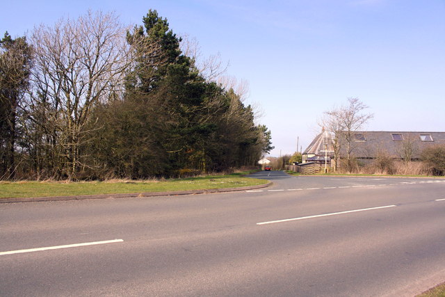
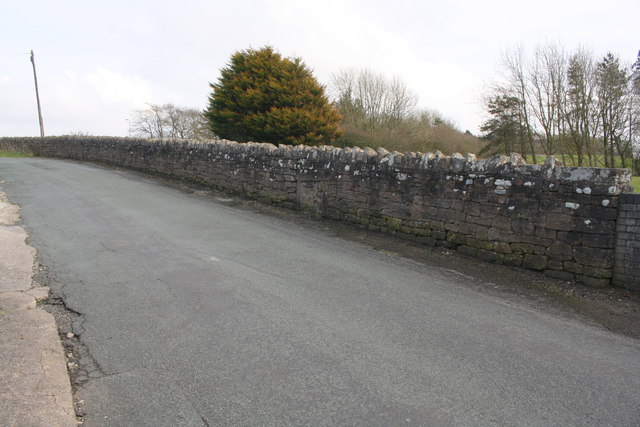
Black Wood, Cumberland is a dense forest located in the county of Cumbria, England. Covering an area of approximately 8 square kilometers, it is one of the largest woodlands in the region. The forest is situated in a remote and secluded area, offering a peaceful and tranquil environment for visitors.

Black Wood is predominantly composed of tall, ancient oak trees, which give the forest its distinct character and name. The dense canopy formed by these majestic trees creates a shaded and mysterious atmosphere within the woodland. The forest floor is covered with a thick layer of moss and ferns, adding to the enchanting ambiance.

The woodland is home to a diverse range of flora and fauna, including various species of birds, mammals, and insects. Visitors may encounter red squirrels, foxes, deer, and a variety of bird species such as woodpeckers and owls as they explore the forest.

There are several well-maintained walking trails that crisscross through the forest, allowing visitors to explore its beauty at their own pace. These trails offer breathtaking views of the surrounding countryside and provide opportunities for wildlife spotting and photography.

Black Wood is a popular destination for nature enthusiasts, hikers, and picnickers. The serene and untouched nature of the forest attracts those seeking solace and a connection with the natural world. With its rich biodiversity and stunning scenery, Black Wood, Cumberland is a true gem for those who appreciate the beauty and serenity of ancient woodlands.

If you have any feedback on the listing, please let us know in the comments section below.

Black Wood Images

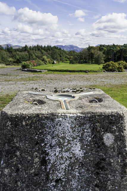
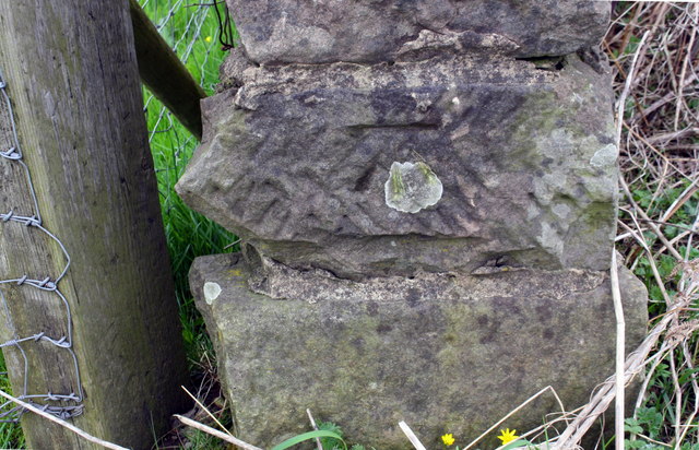
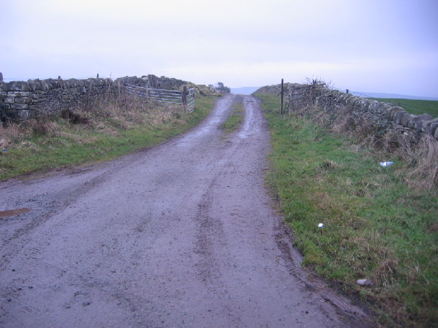
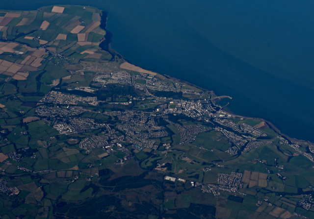
Images are sourced within 2km of 54.552867/-3.5439406 or Grid Reference NY0018. Thanks to Geograph Open Source API. All images are credited.

Standing Stones Trigpoint and Golf Course, Whitehaven Easy road side Trig <span class="nowrap"><a title="http://www.trigpointinguk.com/trigs/trig-details.php?t=6154" rel="nofollow ugc noopener" href="http://www.trigpointinguk.com/trigs/trig-details.php?t=6154">Link</a><img style="margin-left:2px;" alt="External link" title="External link - shift click to open in new window" src="https://s1.geograph.org.uk/img/external.png" width="10" height="10"/></span> near the golf course
Standing Stones Trigpoint and Golf Course, Whitehaven
Easy road side Trig LinkExternal link near the golf course
Rosehill Barn
Rosehill Barn
Benchmark on wall end on NW side of minor road SW of High Farm
Minor road approaching crossroads at High Farm There is an OS benchmark <a href="https://www.geograph.org.uk/photo/6306552">NX9920 : Benchmark on wall end on NW side of minor road SW of High Farm</a> on the near end, road face, of the wall on the left hand side of the road
Minor road approaching crossroads at High Farm
There is an OS benchmark NX9920 : Benchmark on wall end on NW side of minor road SW of High Farm on the near end, road face, of the wall on the left hand side of the road
Benchmark on roadside wall of Canada Farm
Canada Farm There is an OS benchmark <a href="https://www.geograph.org.uk/photo/6307059">NX9920 : Benchmark on roadside wall of Canada Farm</a> on the road face of the corner wall pier near the right hand edge of the image
Canada Farm
There is an OS benchmark NX9920 : Benchmark on roadside wall of Canada Farm on the road face of the corner wall pier near the right hand edge of the image
Track to Moresby Moss. Half on the left now used for farmer stores of stones muck etc.
Track to Moresby Moss.
Half on the left now used for farmer stores of stones muck etc.
Moorland Powerlines. Moresby moss seems a strange place to find pylons but they say it is shorter to go straight than go around.
Moorland Powerlines.
Moresby moss seems a strange place to find pylons but they say it is shorter to go straight than go around.
Whitehaven from the air Whitehaven Commercial park and Whitehaven Golf Club are in the foreground. North Head and St Bees Head are in the distance.
Whitehaven from the air
Whitehaven Commercial park and Whitehaven Golf Club are in the foreground. North Head and St Bees Head are in the distance.
T-junction at SE end of Victoria Road
Junction of footpath and Victoria Road
Benchmark on vertical element in stone wall Ordnance Survey cut mark benchmark levelled at 147.932m above Newlyn Datum
Benchmark on vertical element in stone wall
Ordnance Survey cut mark benchmark levelled at 147.932m above Newlyn Datum
Stone wall beside minor road at Scilly Bank There is an OS benchmark <a href="https://www.geograph.org.uk/photo/5959921">NX9919 : Benchmark on vertical element in stone wall</a> on a post in the wall at the centre of the image
Stone wall beside minor road at Scilly Bank
There is an OS benchmark NX9919 : Benchmark on vertical element in stone wall on a post in the wall at the centre of the image
Benchmark on wall on west side of road at a wall junction Ordnance Survey cut mark benchmark levelled at 160.788m above Newlyn Datum
Benchmark on wall on west side of road at a wall junction
Ordnance Survey cut mark benchmark levelled at 160.788m above Newlyn Datum
Stone wall beside road west of Moresby Parks There is an OS benchmark <a href="https://www.geograph.org.uk/photo/5959949">NX9919 : Benchmark on wall on west side of road at a wall junction</a> on the base stone in the wall, at a junction of walls, near the left hand edge of the image, and below a patch of white lichen
Stone wall beside road west of Moresby Parks
There is an OS benchmark NX9919 : Benchmark on wall on west side of road at a wall junction on the base stone in the wall, at a junction of walls, near the left hand edge of the image, and below a patch of white lichen
Benchmark on stone gatepost on north side of School Brow Ordnance Survey cut mark benchmark levelled at 141.223m above Newlyn Datum
Benchmark on stone gatepost on north side of School Brow
Ordnance Survey cut mark benchmark levelled at 141.223m above Newlyn Datum
Field gateway on north side of School Brow There is an OS benchmark <a href="https://www.geograph.org.uk/photo/5960027">NX9919 : Benchmark on stone gatepost on north side of School Brow</a> on the inside face of the stone gatepost at the far side of the gateway
Field gateway on north side of School Brow
There is an OS benchmark NX9919 : Benchmark on stone gatepost on north side of School Brow on the inside face of the stone gatepost at the far side of the gateway
Junction of roads north of Moresby Parks
Show me another place!

Black Wood is located at Grid Ref: NY0018 (Lat: 54.552867, Lng: -3.5439406)

Administrative County: Cumbria

District: Copeland

Police Authority: Cumbria

What 3 Words

///reward.beanbag.voting. Near Whitehaven, Cumbria

Nearby Locations

Black Wood Bogholes Wood

Related Wikis

Moresby Junction Halt railway station

Moresby Junction Halt railway station was opened by the Cleator and Workington Junction Railway (C&WJR) in 1910. Very few people lived near the halt, which...

Moresby, Cumbria

Moresby is a civil parish in Cumbria, England. It had a population of 1,280 at the 2001 census, increasing to 1,997 at the 2011 Census. Most people live...

Moresby Parks railway station

Moresby Parks railway station was opened by the Cleator and Workington Junction Railway (C&WJR) in 1879. It was situated just north of the summit of the...

St Benedict's Catholic High School, Hensingham

St Benedict's Catholic High School is a co-educational 11–18 comprehensive school on the edge of Whitehaven, Cumbria, England. It is located between the...

Nearby Amenities

Located within 500m of 54.552867,-3.5439406
Power: tower
Lat/Long: 54.5511282/-3.5476123
Power: tower
Lat/Long: 54.5531041/-3.5459287
Power: tower
Lat/Long: 54.5557995/-3.5436319
Bogholes Wood
Place: locality
Lat/Long: 54.5520445/-3.5398023
Power: pole
Lat/Long: 54.5568415/-3.5437589
Power: pole
Lat/Long: 54.5560756/-3.5430905
Power: pole
Lat/Long: 54.555285/-3.5424038
Power: pole
Lat/Long: 54.5545062/-3.5417231
Power: pole
Lat/Long: 54.5540727/-3.5413626
Power: pole
Lat/Long: 54.5532833/-3.5406516
Power: pole
Lat/Long: 54.5526383/-3.5400783
Power: pole
Lat/Long: 54.5541714/-3.5432849
Power: pole
Lat/Long: 54.5538824/-3.544555
Power: pole
Lat/Long: 54.5536451/-3.5456043
Power: pole
Lat/Long: 54.5532257/-3.5416928
The data included in this document is from www.openstreetmap.org. The data is made available under ODbL.

Have you been to Black Wood?

Leave your review of Black Wood below (or comments, questions and feedback).