Bearmouth Wood

Wood, Forest in Cumberland Copeland

England

Bearmouth Wood

St. James Church, Whitehaven Intersected Station <span class="nowrap"><a title="https://trigpointing.uk/trig/10770" rel="nofollow ugc noopener" href="https://trigpointing.uk/trig/10770">Link</a><img style="margin-left:2px;" alt="External link" title="External link - shift click to open in new window" src="https://s1.geograph.org.uk/img/external.png" width="10" height="10"/></span>

It stands in an elevated position overlooking the town. The church was built in 1752–53 at a cost of £3,400 (equivalent to £550,000 in 2021)

<span class="nowrap"><a title="https://en.wikipedia.org/wiki/St_James%27_Church,_Whitehaven" rel="nofollow ugc noopener" href="https://en.wikipedia.org/wiki/St_James%27_Church,_Whitehaven">Link</a><img style="margin-left:2px;" alt="External link" title="External link - shift click to open in new window" src="https://s1.geograph.org.uk/img/external.png" width="10" height="10"/></span>
St. James Church, Whitehaven Credit: Brian Deegan

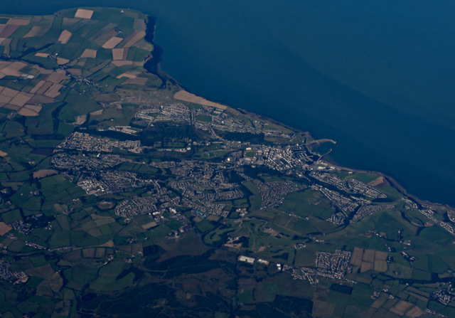
Bearmouth Wood is a picturesque woodland located in the county of Cumberland, England. Spanning over a vast area of approximately 1,000 acres, it is renowned for its rich biodiversity and breathtaking natural beauty. The wood is nestled amidst the stunning landscape of the Lake District National Park, adding to its allure and popularity among nature enthusiasts and tourists alike.

The wood boasts an impressive variety of tree species, including oak, beech, birch, and Scots pine, which create a captivating tapestry of colors throughout the seasons. The dense canopy provides a sanctuary for numerous bird species, making it a paradise for birdwatchers. Visitors can spot a diverse range of avian creatures, such as woodpeckers, owls, and various songbirds, as they explore the well-maintained trails that wind through the wood.

Aside from its avian inhabitants, Bearmouth Wood is also home to a plethora of wildlife. Roe deer and red squirrels are frequently spotted darting through the undergrowth, while badgers and foxes roam the forest floor. The wood's diverse ecosystem supports a wide array of plant and insect species, making it a haven for nature conservation.

For those seeking outdoor activities, Bearmouth Wood offers ample opportunities for hiking, photography, and picnicking. The well-marked trails cater to different levels of fitness and offer stunning views of the surrounding countryside. The wood is also intersected by a meandering stream, providing a tranquil setting for relaxation and reflection.

Bearmouth Wood is not only a natural treasure but also a testament to the importance of preserving and appreciating the beauty of Cumberland's woodlands.

If you have any feedback on the listing, please let us know in the comments section below.

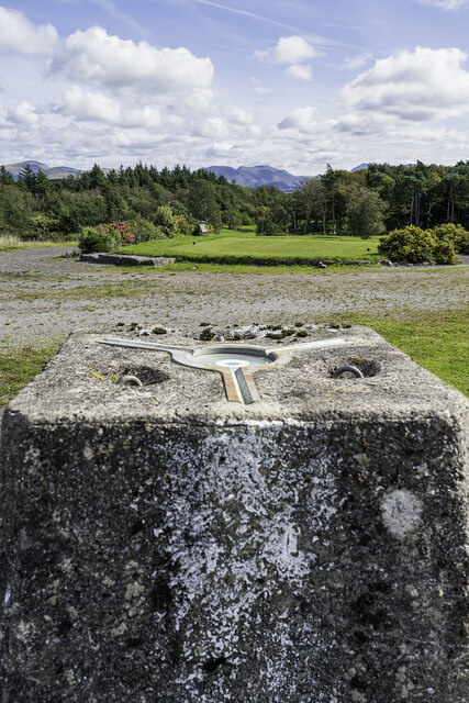
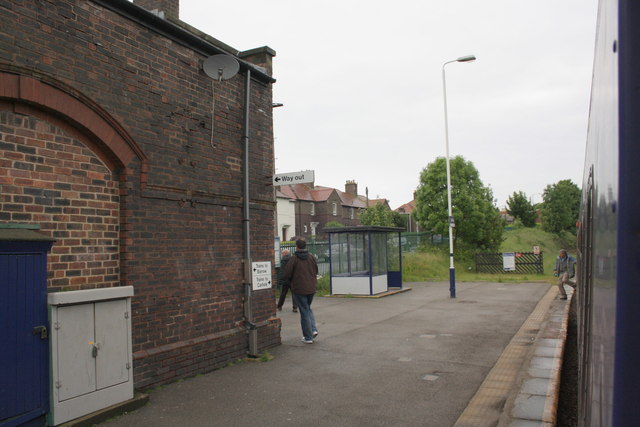
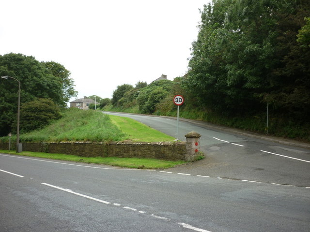
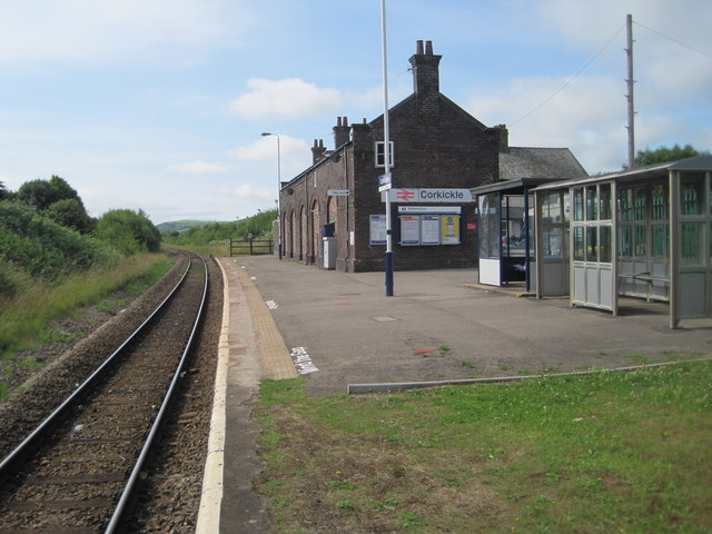
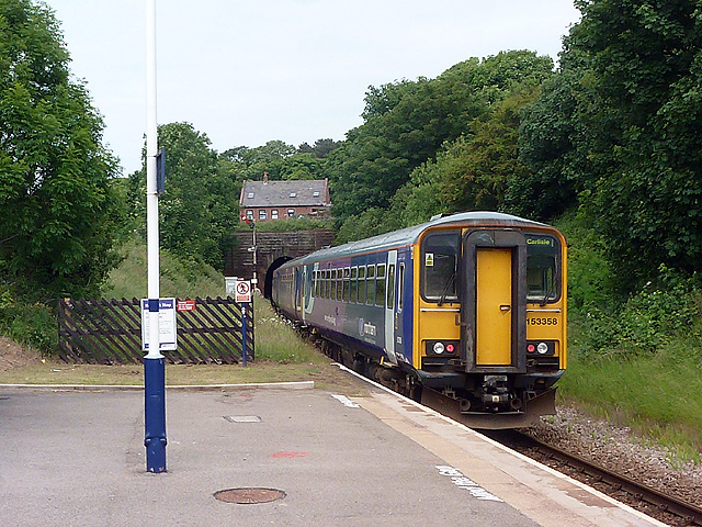
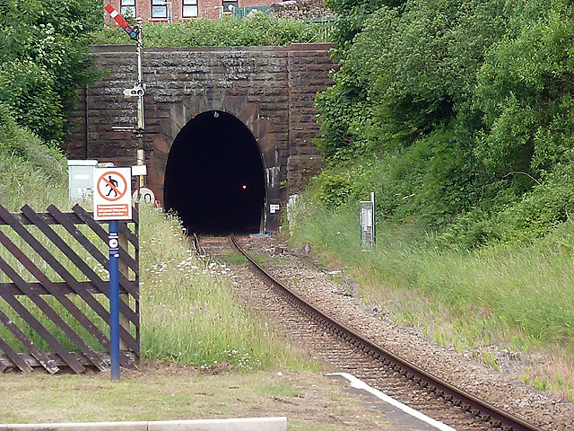
Bearmouth Wood Images

Images are sourced within 2km of 54.548917/-3.5541039 or Grid Reference NX9918. Thanks to Geograph Open Source API. All images are credited.

St. James Church, Whitehaven Intersected Station <span class="nowrap"><a title="https://trigpointing.uk/trig/10770" rel="nofollow ugc noopener" href="https://trigpointing.uk/trig/10770">Link</a><img style="margin-left:2px;" alt="External link" title="External link - shift click to open in new window" src="https://s1.geograph.org.uk/img/external.png" width="10" height="10"/></span>

It stands in an elevated position overlooking the town. The church was built in 1752–53 at a cost of £3,400 (equivalent to £550,000 in 2021)

<span class="nowrap"><a title="https://en.wikipedia.org/wiki/St_James%27_Church,_Whitehaven" rel="nofollow ugc noopener" href="https://en.wikipedia.org/wiki/St_James%27_Church,_Whitehaven">Link</a><img style="margin-left:2px;" alt="External link" title="External link - shift click to open in new window" src="https://s1.geograph.org.uk/img/external.png" width="10" height="10"/></span>
St. James Church, Whitehaven
Intersected Station LinkExternal link It stands in an elevated position overlooking the town. The church was built in 1752–53 at a cost of £3,400 (equivalent to £550,000 in 2021) LinkExternal link
Standing Stones Trigpoint and Golf Course, Whitehaven Easy road side Trig <span class="nowrap"><a title="http://www.trigpointinguk.com/trigs/trig-details.php?t=6154" rel="nofollow ugc noopener" href="http://www.trigpointinguk.com/trigs/trig-details.php?t=6154">Link</a><img style="margin-left:2px;" alt="External link" title="External link - shift click to open in new window" src="https://s1.geograph.org.uk/img/external.png" width="10" height="10"/></span> near the golf course
Standing Stones Trigpoint and Golf Course, Whitehaven
Easy road side Trig LinkExternal link near the golf course
Corkickle railway station
Benchmark on the wall of New Road Ordnance Survey cut mark benchmark described on the Bench Mark Database at <span class="nowrap"><a title="http://www.bench-marks.org.uk/bm43735" rel="nofollow ugc noopener" href="http://www.bench-marks.org.uk/bm43735">Link</a><img style="margin-left:2px;" alt="External link" title="External link - shift click to open in new window" src="https://s1.geograph.org.uk/img/external.png" width="10" height="10"/></span>
Benchmark on the wall of New Road
Ordnance Survey cut mark benchmark described on the Bench Mark Database at LinkExternal link
The Olympic Torch is due On the wall behind the barriers and left of the steps is an OS benchmark <a href="https://www.geograph.org.uk/photo/3026407">NX9718 : Benchmark on the wall of New Road</a>
The Olympic Torch is due
On the wall behind the barriers and left of the steps is an OS benchmark NX9718 : Benchmark on the wall of New Road
Bank Road off New Road, Whitehaven
St John's church, Hensingham
Corkickle railway station, Cumbria Opened in 1855 by the Whitehaven & Furness Junction Railway on the line from Barrow-in-Furness to Carlisle. View south towards St. Bees and Barrow.
Corkickle railway station, Cumbria
Opened in 1855 by the Whitehaven & Furness Junction Railway on the line from Barrow-in-Furness to Carlisle. View south towards St. Bees and Barrow.
A Carlisle bound train enters the tunnel at Corkickle
Single line tunnel at Corkickle The line between Corkickle and Whitehaven stations runs in the 1322 yard tunnel which ends immediately before Whitehaven station.
Single line tunnel at Corkickle
The line between Corkickle and Whitehaven stations runs in the 1322 yard tunnel which ends immediately before Whitehaven station.
Millennium stained glass window, St James' Church Created by Alex Haynes, 1999.
Millennium stained glass window, St James' Church
Created by Alex Haynes, 1999.
Tower, St James' Church, Whitehaven Grade II listed Georgian church built to the designs of Carlisle Spedding - described in detail at this <span class="nowrap"><a title="https://historicengland.org.uk/listing/the-list/list-entry/1086747" rel="nofollow ugc noopener" href="https://historicengland.org.uk/listing/the-list/list-entry/1086747">Link</a><img style="margin-left:2px;" alt="External link" title="External link - shift click to open in new window" src="https://s1.geograph.org.uk/img/external.png" width="10" height="10"/></span> .
Tower, St James' Church, Whitehaven
Grade II listed Georgian church built to the designs of Carlisle Spedding - described in detail at this LinkExternal link .
"The Ship" public house, Duke Street
Whitehaven from the air Whitehaven Commercial park and Whitehaven Golf Club are in the foreground. North Head and St Bees Head are in the distance.
Whitehaven from the air
Whitehaven Commercial park and Whitehaven Golf Club are in the foreground. North Head and St Bees Head are in the distance.
Houses on Station Road
Ordnance Survey 1GL Bolt This OS Bolt can be found on the Church of St James. It marks a point 30.9860m above mean sea level.
Ordnance Survey 1GL Bolt
This OS Bolt can be found on the Church of St James. It marks a point 30.9860m above mean sea level.
A5094 (New Road) heading south through Bransty
T-junction at SE end of Victoria Road
Show me another place!

Bearmouth Wood is located at Grid Ref: NX9918 (Lat: 54.548917, Lng: -3.5541039)

Administrative County: Cumbria

District: Copeland

Police Authority: Cumbria

What 3 Words

///patching.sedated.twigs. Near Whitehaven, Cumbria

Nearby Locations

Bearmouth Wood

Related Wikis

St Benedict's Catholic High School, Hensingham

St Benedict's Catholic High School is a co-educational 11–18 comprehensive school on the edge of Whitehaven, Cumbria, England. It is located between the...

Moresby Junction Halt railway station

Moresby Junction Halt railway station was opened by the Cleator and Workington Junction Railway (C&WJR) in 1910. Very few people lived near the halt, which...

The Whitehaven Academy

The Whitehaven Academy (formerly Whitehaven School) is a comprehensive co-educational secondary school with academy status, located in Whitehaven, in west...

Moresby, Cumbria

Moresby is a small village and civil parish in the Borough of Copeland in Cumbria, England. It had a population of 1,280 at the 2001 census, increasing...

Moresby Parks railway station

Moresby Parks railway station was opened by the Cleator and Workington Junction Railway (C&WJR) in 1879. It was situated just north of the summit of the...

Hensingham

Hensingham is a suburb of Whitehaven and former civil parish, now in the parish of Whitehaven, in the Cumberland district, in the ceremonial county of...

Quality Corner

Quality Corner is a hamlet in the English county of Cumbria. Quality Corner is located about one mile east of the port of Whitehaven; its postal address...

St James' Church, Whitehaven

St James' Church is in High Street, Whitehaven, Cumbria, England, at the crossing with the top of Queen Street. It stands in an elevated position overlooking...

Nearby Amenities

Located within 500m of 54.548917,-3.5541039
Power: tower
Lat/Long: 54.5461911/-3.5511896
Power: tower
Lat/Long: 54.5481946/-3.5501119
Parking
Lat/Long: 54.5480106/-3.5609566
Power: tower
Lat/Long: 54.549154/-3.5617922
Power: tower
Lat/Long: 54.5471228/-3.5604807
Power: tower
Lat/Long: 54.5511282/-3.5476123
Power: pole
Lat/Long: 54.5478949/-3.5510771
Power: pole
Lat/Long: 54.5460583/-3.5526878
Power: pole
Lat/Long: 54.5450821/-3.5535152
Power: pole
Lat/Long: 54.5444994/-3.5543802
Power: pole
Lat/Long: 54.5486198/-3.5511303
Power: pole
Lat/Long: 54.5494575/-3.5512316
Power: pole
Lat/Long: 54.5502611/-3.5521816
The data included in this document is from www.openstreetmap.org. The data is made available under ODbL.

Have you been to Bearmouth Wood?

Leave your review of Bearmouth Wood below (or comments, questions and feedback).