Sellham Wood

Wood, Forest in Somerset Somerset West and Taunton

England

Sellham Wood

Langham Hill Pit foundations This was an iron ore mine and this pit was sunk in 1865-66 and a second hand rotative beam pumping and winding engine was brought over from South Wales. This had a 25" cylinder. It was later moved to Burrow Farm were it was installed in 1879. These foundations were excavated in 1995 and include the engine house, boiler house for two boiler, chimney base and flywheel pit. The shaft is nearby and fenced off.
Langham Hill Pit foundations Credit: Chris Allen

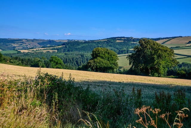
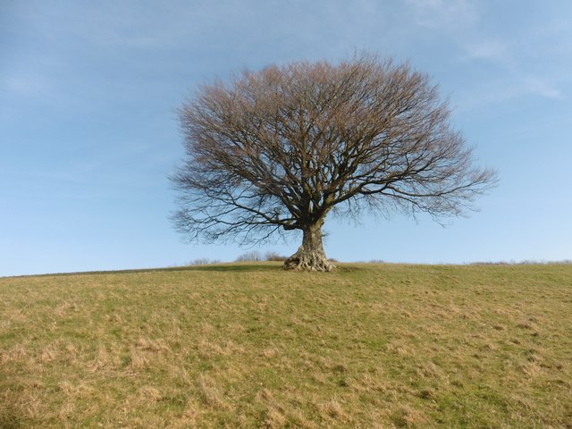
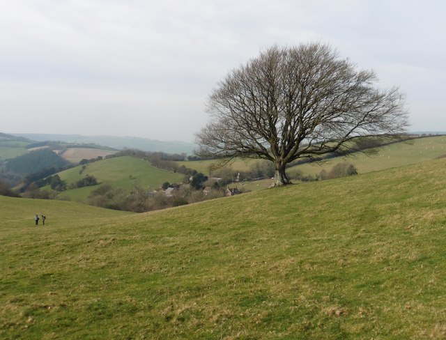
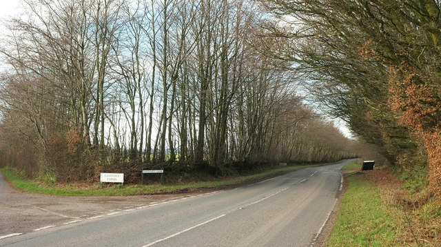
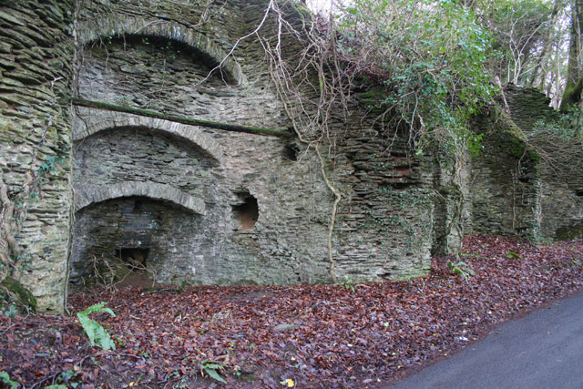
Sellham Wood is a picturesque forest located in Somerset, England. Covering an area of approximately 100 acres, the wood is a cherished natural treasure in the region. Its tranquil atmosphere and diverse flora and fauna make it a popular destination for nature enthusiasts and hikers.

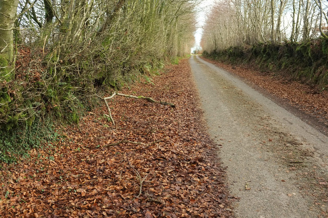
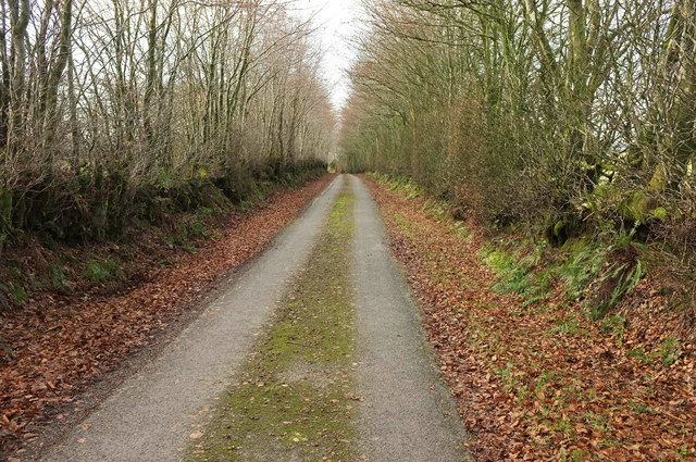
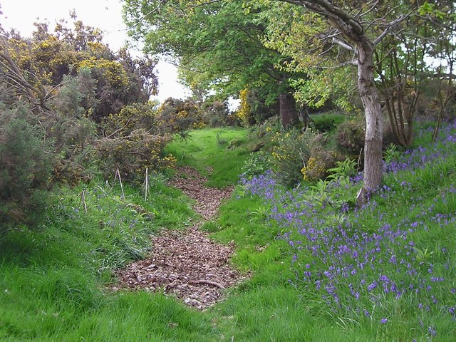
The wood is primarily made up of broadleaf trees, including oak, ash, and beech. These towering trees create a dense canopy, providing shelter and shade for the various animal species that call the wood home. Visitors to Sellham Wood can expect to spot a range of wildlife, including deer, foxes, badgers, and a variety of bird species.

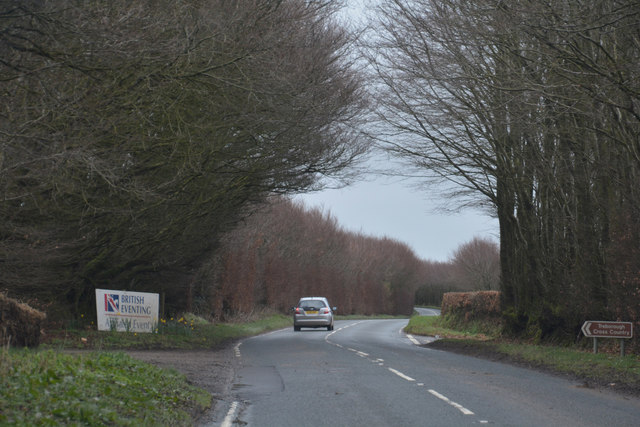
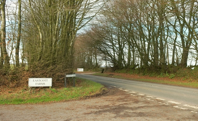
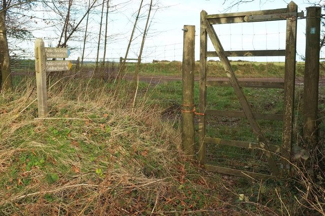
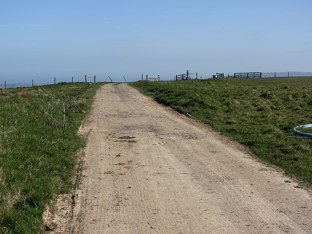
There are several well-maintained trails that wind through the wood, offering visitors the opportunity to explore its beauty at their own pace. These paths are suitable for walkers of all abilities, making Sellham Wood an accessible destination for families and individuals alike. Along the trails, there are information boards that provide interesting facts about the wood's history and the different species of trees and animals that can be found within its boundaries.

The wood is also home to a diverse range of plant life, with an array of wildflowers and ferns adorning its forest floor. During the spring and summer months, the wood comes alive with vibrant colors and sweet scents, creating a truly magical experience for visitors.

Overall, Sellham Wood is a captivating natural oasis that offers visitors the chance to escape the hustle and bustle of everyday life and immerse themselves in the beauty of the Somerset countryside. Whether it's a leisurely walk, a picnic, or wildlife spotting, this enchanting wood has something to offer everyone.

If you have any feedback on the listing, please let us know in the comments section below.
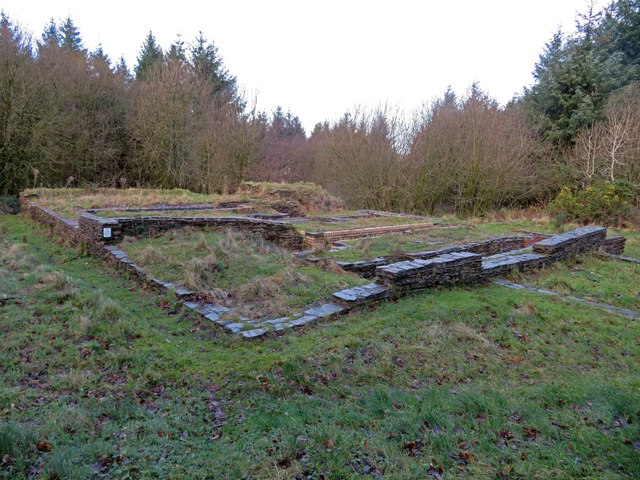
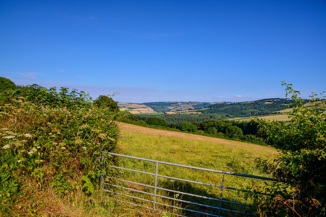
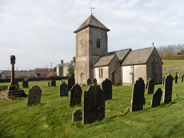
Sellham Wood Images

Images are sourced within 2km of 51.119985/-3.4381336 or Grid Reference SS9936. Thanks to Geograph Open Source API. All images are credited.

Langham Hill Pit foundations This was an iron ore mine and this pit was sunk in 1865-66 and a second hand rotative beam pumping and winding engine was brought over from South Wales. This had a 25" cylinder. It was later moved to Burrow Farm were it was installed in 1879. These foundations were excavated in 1995 and include the engine house, boiler house for two boiler, chimney base and flywheel pit. The shaft is nearby and fenced off.
Langham Hill Pit foundations
This was an iron ore mine and this pit was sunk in 1865-66 and a second hand rotative beam pumping and winding engine was brought over from South Wales. This had a 25" cylinder. It was later moved to Burrow Farm were it was installed in 1879. These foundations were excavated in 1995 and include the engine house, boiler house for two boiler, chimney base and flywheel pit. The shaft is nearby and fenced off.
West Somerset : Grassy Field A grassy field in the West Somerset countryside.
West Somerset : Grassy Field
A grassy field in the West Somerset countryside.
West Somerset : Grassy Field & Gate A field beyond the gate.
West Somerset : Grassy Field & Gate
A field beyond the gate.
West Somerset : Stout's Way Lane Looking along Stout's Way Lane in West Somerset.
West Somerset : Stout's Way Lane
Looking along Stout's Way Lane in West Somerset.
St Peter's Church, Treborough
Coleridge Way
Coleridge Way
Isolated beech tree on the Brendon Hills
Looking back towards Chapman Farm
West Somerset : The B3224 Heading along the B3224.
West Somerset : The B3224
Heading along the B3224.
Junction on B3224 Eastcott Lane turns off the B road (right), along the near side of which runs the parish boundary between Treborough (far side) and Brompton Regis.
Junction on B3224
Eastcott Lane turns off the B road (right), along the near side of which runs the parish boundary between Treborough (far side) and Brompton Regis.
B3224 at Eastcott Lane Another view of the junction shown in <a href="https://www.geograph.org.uk/photo/6529951">ST0035 : Junction on B3224</a>. The parish boundary between Treborough (this side) and Brompton Regis runs along the other side of the B road.
B3224 at Eastcott Lane
Another view of the junction shown in ST0035 : Junction on B3224. The parish boundary between Treborough (this side) and Brompton Regis runs along the other side of the B road.
Path and bridleway by B3224 Footpath WL 26/10 and bridleway WL 26/15 both use this gate, separating immediately beyond it.
Path and bridleway by B3224
Footpath WL 26/10 and bridleway WL 26/15 both use this gate, separating immediately beyond it.
Eastcott Lane The lane from Eastcott Farms. The junction with the B3224 can be glimpsed about 100 metres ahead.
Eastcott Lane
The lane from Eastcott Farms. The junction with the B3224 can be glimpsed about 100 metres ahead.
Eastcott Lane Looking the other way from <a href="https://www.geograph.org.uk/photo/6530117">ST0034 : Eastcott Lane</a>.
Eastcott Lane
Looking the other way from ST0034 : Eastcott Lane.
Bridleway, near Langridge Wood
Treborough Common A farm road across hilltop pasture, the area is used for point to point racing and there are fences stored near by.
Treborough Common
A farm road across hilltop pasture, the area is used for point to point racing and there are fences stored near by.
Treborough Common triangulation pillar A water tank in the middle of a large field beside the triangulation pillar.
Treborough Common triangulation pillar
A water tank in the middle of a large field beside the triangulation pillar.
Point to point fences, Treborough Common The big flat field is used for point to point racing. This year the going looked very firm. (The land was dry after a hot spell, this before the infamous wet Summer of 2012).
Point to point fences, Treborough Common
The big flat field is used for point to point racing. This year the going looked very firm. (The land was dry after a hot spell, this before the infamous wet Summer of 2012).
Show me another place!

Sellham Wood is located at Grid Ref: SS9936 (Lat: 51.119985, Lng: -3.4381336)

Administrative County: Somerset

District: Somerset West and Taunton

Police Authority: Avon and Somerset

What 3 Words

///freezers.qualify.camera. Near Williton, Somerset

Related Wikis

Church of St Peter, Williton

The Anglican Church of St Peter in Williton in the English county of Somerset is recorded in the National Heritage List for England as a designated Grade...

St Peter's Church, Treborough

The Anglican St Peter's Church at Treborough within the English county of Somerset dates from the 14th century. It is a Grade II* listed building.Although...

Treborough

Treborough is a small village and civil parish 7 miles (11 km) south of Dunster, lying amongst the Brendon Hills within the Exmoor National Park in the...

Luxborough Road railway station

Luxborough Road (sometimes referred to as "Langham" or "Langham Hill") was an intermediate station on the West Somerset Mineral Railway (WSMR), which was...

Luxborough

Luxborough is a small village and civil parish located some 6 miles (9.7 km) south of Dunster, lying amongst the Brendon Hills and the Exmoor National...

St Mary's Church, Luxborough

The Anglican St Mary's Church at Luxborough within the English county of Somerset dates from the 13th century. It is a Grade II listed building.The chancel...

Rodhuish Common

Rodhuish Common is a univallate Iron Age hill fort in the West Somerset district of Somerset, England. There is a small oval enclosure which is thought...

Gupworthy railway station

Gupworthy (sometimes referred to as "Goosemoor") was originally intended as an intermediate station on the West Somerset Mineral Railway (WSMR), but neither...

Have you been to Sellham Wood?

Leave your review of Sellham Wood below (or comments, questions and feedback).