Conygar Wood
Wood, Forest in Somerset Somerset West and Taunton
England
Conygar Wood
Conygar Wood is a picturesque forest located in Somerset, England. Covering an area of approximately 50 acres, it is an enchanting natural haven that attracts both locals and tourists alike. The wood is situated within the larger Conygar Hill, which offers stunning panoramic views of the surrounding countryside.
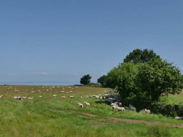
The woodland is characterized by its diverse range of tree species, including oak, beech, ash, and hazel. These majestic trees provide a dense canopy, creating a cool and tranquil atmosphere within the wood. In spring, the forest floor is adorned with a vibrant display of wildflowers, adding a splash of color to the greenery.
Conygar Wood is home to a variety of wildlife, making it a haven for nature enthusiasts. Birdwatchers can spot species such as woodpeckers, warblers, and owls, while small mammals like badgers, foxes, and rabbits can be seen scurrying through the undergrowth. The forest also supports a rich insect population, with butterflies and bees flitting from flower to flower.
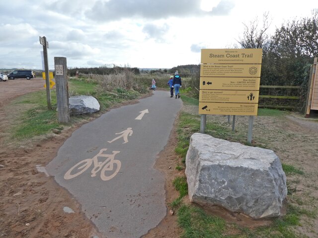
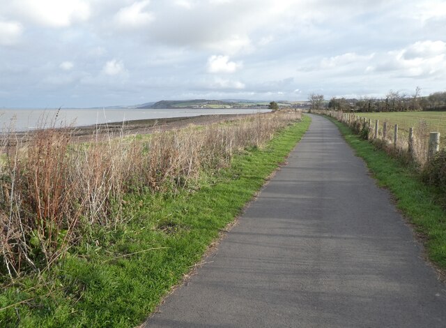
The wood is crisscrossed by a network of well-maintained footpaths, allowing visitors to explore its beauty at their own pace. These pathways lead to scenic spots, such as a tranquil pond and a charming picnic area, where visitors can relax and enjoy the serenity of the surroundings.
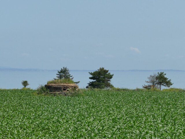
Conygar Wood is not only a natural gem but also a site of historical significance. The wood has remnants of ancient earthworks, giving a glimpse into its past. It is a place where history, nature, and tranquility merge, offering a unique experience for all who visit.
If you have any feedback on the listing, please let us know in the comments section below.
Conygar Wood Images
Images are sourced within 2km of 51.187841/-3.4456113 or Grid Reference SS9944. Thanks to Geograph Open Source API. All images are credited.


Conygar Wood is located at Grid Ref: SS9944 (Lat: 51.187841, Lng: -3.4456113)
Administrative County: Somerset
District: Somerset West and Taunton
Police Authority: Avon and Somerset
What 3 Words
///adjuster.marketing.wisdom. Near Minehead, Somerset
Nearby Locations
Related Wikis
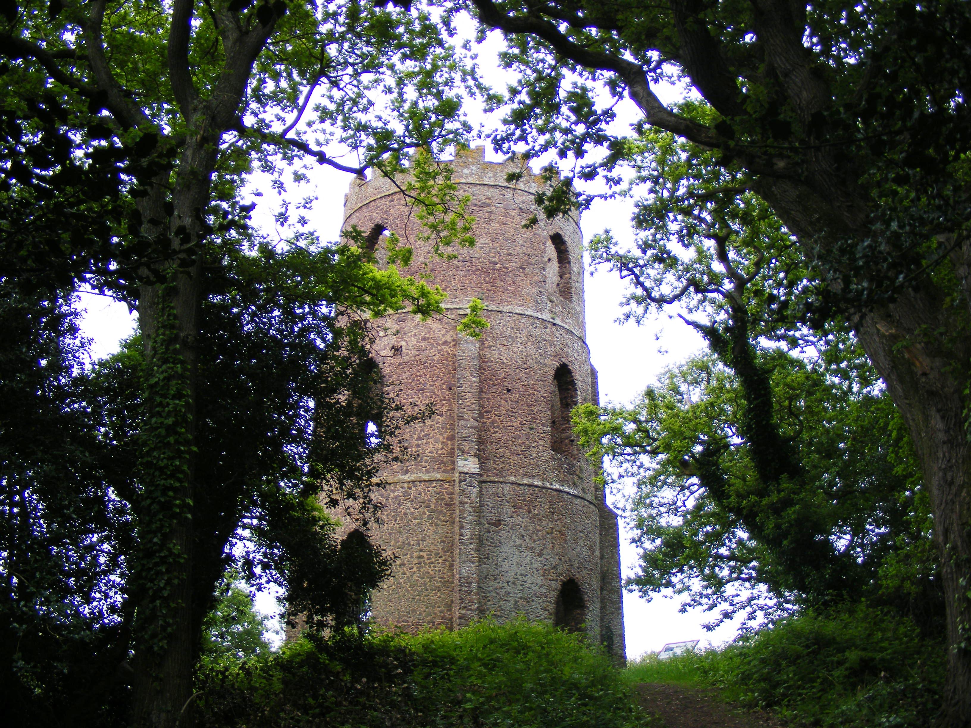
Conygar Tower
The Conygar Tower in Dunster, Somerset, England was built in 1775 and has been designated as a Grade II listed building.It is a circular, 3 storey folly...

Yarn Market, Dunster
The Yarn Market in Dunster, Somerset, England was built in the early 17th century. It has been designated as a Grade I listed building and scheduled monument...
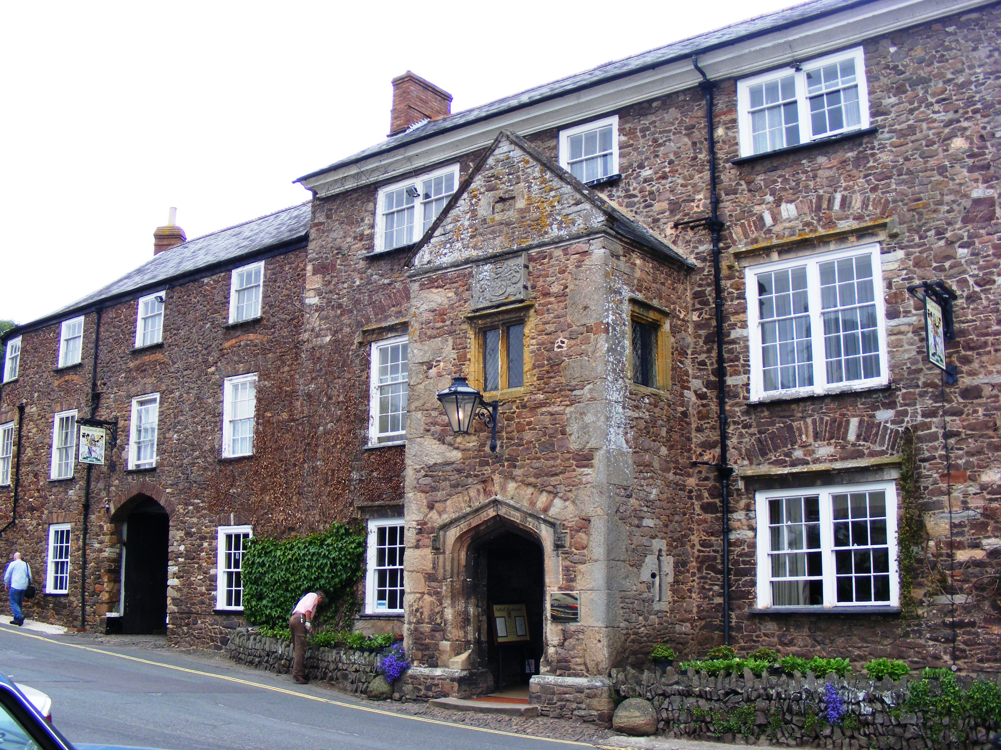
Luttrell Arms
The Luttrell Arms in Dunster, Somerset, England was built in the late 15th century and is located in the centre of the medieval town of Dunster. The building...
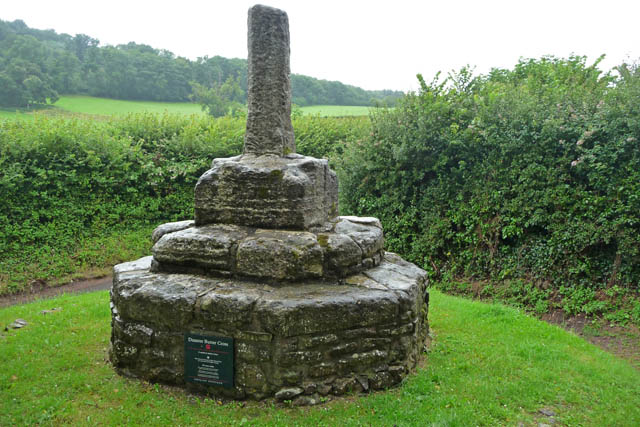
Dunster Butter Cross
The Butter Cross in Dunster within the English county of Somerset is a Grade II* listed building and scheduled monument. The cross was originally erected...

Dunster Museum & Doll Collection
The Dunster Museum & Doll Collection in Dunster, Somerset, England houses a collection of more than 800 dolls from around the world, based on the collection...
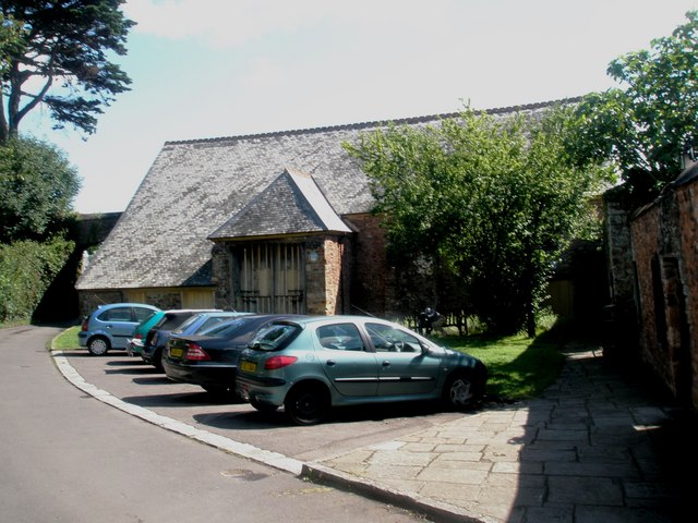
Tithe Barn, Dunster
The Tithe Barn is a 14th-century tithe barn in Dunster, Somerset, England. It has a cruciform plan. The east front has central double doors in heavy oak...

Dunster Dovecote
The Dovecote in Dunster, Somerset, England was probably built in the late 16th century. It has been designated as a Grade II* listed building and Scheduled...
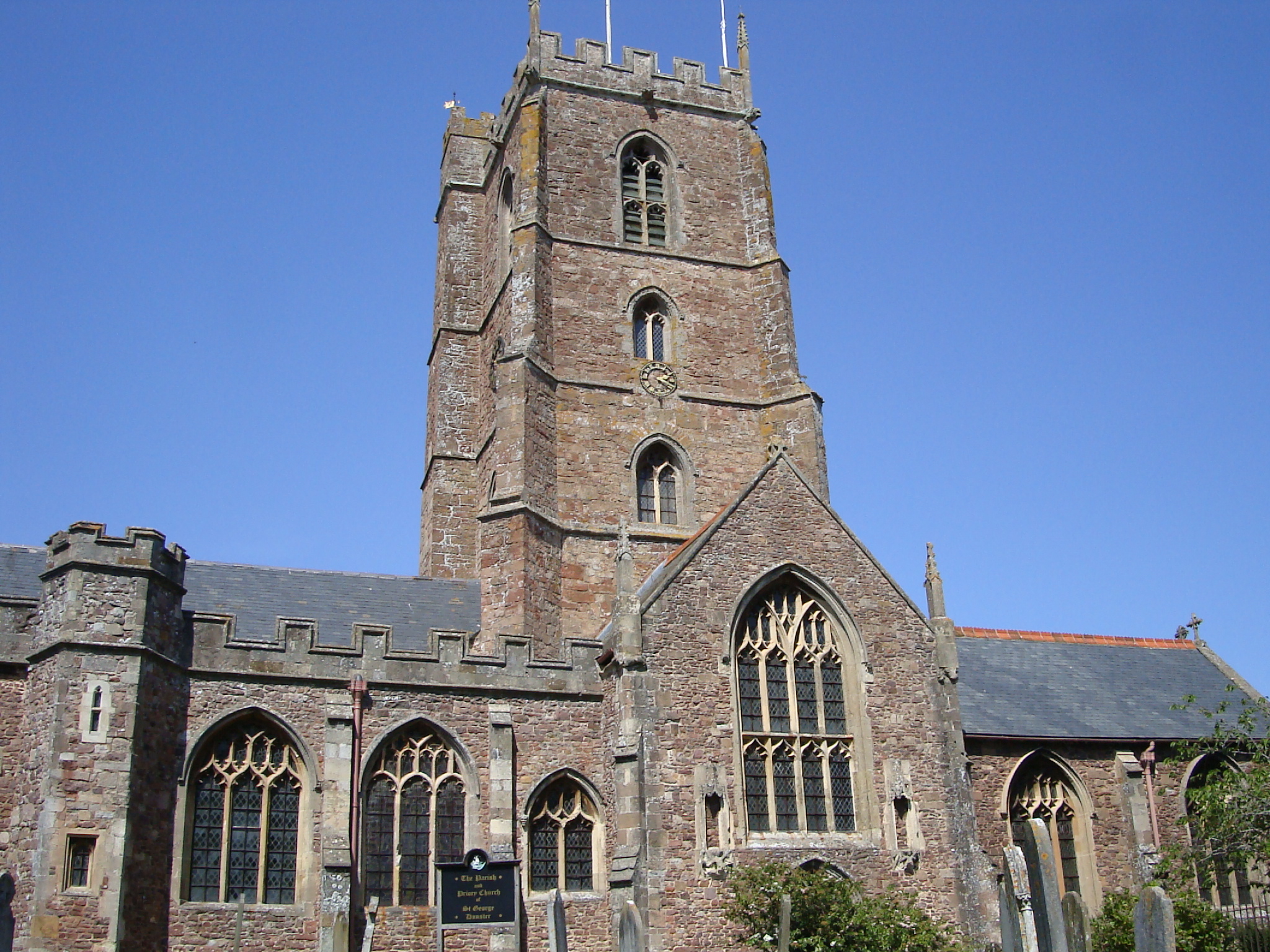
Dunster Priory
Dunster Priory was established as a Benedictine monastery around 1100 in Dunster, Somerset, England. The first church in Dunster was built by William de...
Nearby Amenities
Located within 500m of 51.187841,-3.4456113Have you been to Conygar Wood?
Leave your review of Conygar Wood below (or comments, questions and feedback).