Beech Close Copse

Wood, Forest in Devon Mid Devon

England

Beech Close Copse

Huntsham: towards Venlake’s Farm Looking south by the road from Huntsham to Three Gates Cross
Huntsham: towards Venlake’s Farm Credit: Martin Bodman

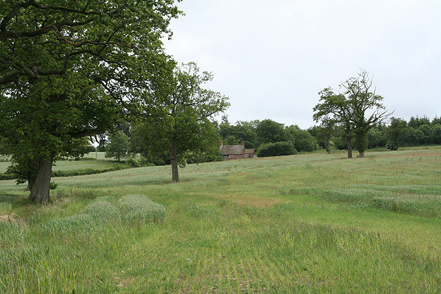
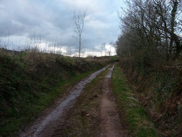
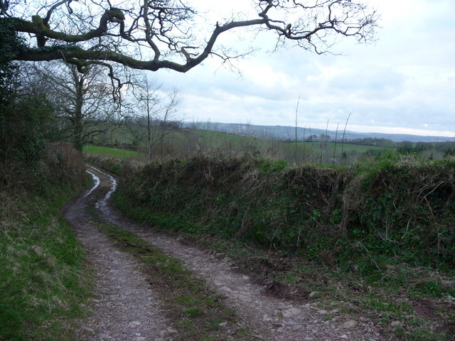
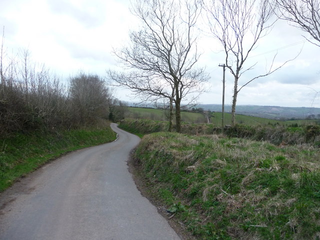
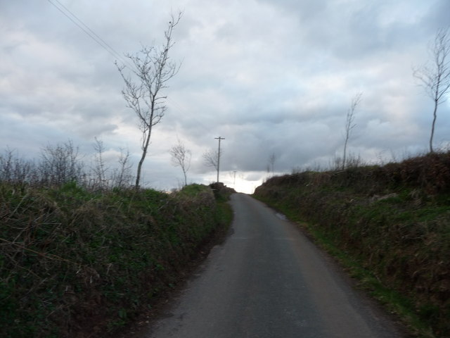
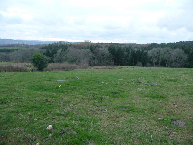
Beech Close Copse is a picturesque wood located in the county of Devon, England. Situated in the heart of the countryside, this enchanting forest covers an area of approximately 20 acres. It is characterized by its dense population of mature beech trees, which give the copse its name and create a stunning canopy overhead.

The copse is a haven for local wildlife, offering a diverse range of habitats for various species. The woodland floor is carpeted with a rich array of wildflowers, including bluebells, primroses, and wood anemones, providing a colorful display during the spring months. The trees themselves support a wide variety of bird species, such as great tits, nuthatches, and woodpeckers, which can be heard singing and drumming throughout the year.

A network of well-maintained footpaths and trails crisscross the copse, allowing visitors to explore its beauty at their leisure. These paths wind through the ancient woodland, leading to secluded clearings and peaceful glades, which are perfect for picnics or simply immersing oneself in nature.

Beech Close Copse is managed by a local conservation group, who work tirelessly to protect and enhance its natural beauty. Their efforts include the removal of invasive species and the promotion of sustainable woodland management practices.

Whether you're a nature enthusiast, a keen walker, or simply seeking a tranquil escape, Beech Close Copse is a must-visit destination in Devon. Its breathtaking scenery, abundant wildlife, and serene atmosphere make it a true gem of the region.

If you have any feedback on the listing, please let us know in the comments section below.

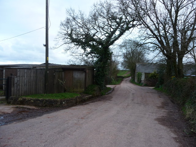
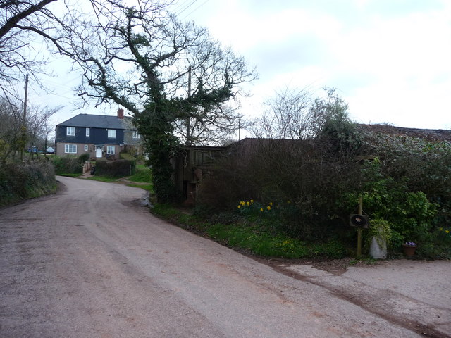
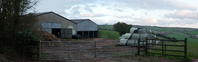
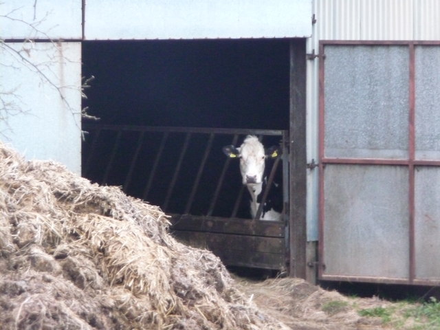
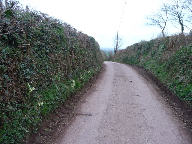
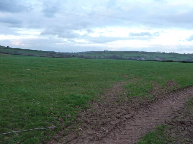
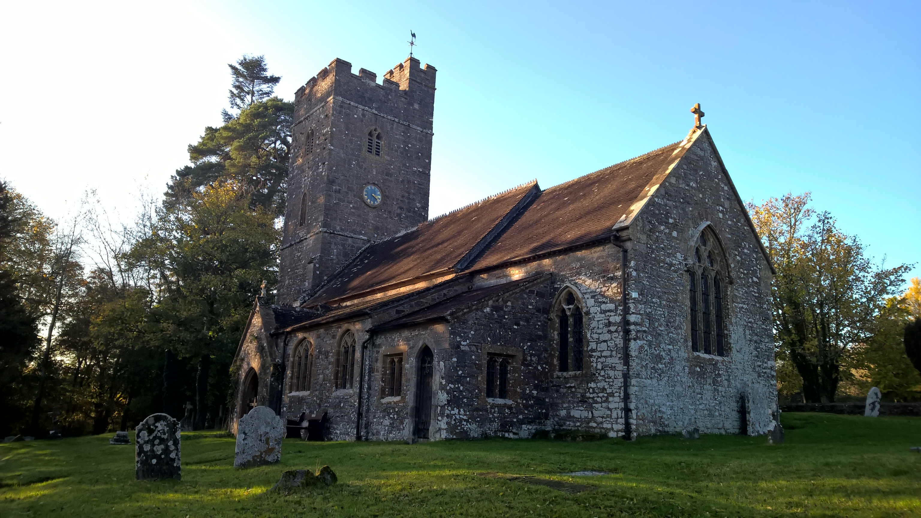
Beech Close Copse Images

Images are sourced within 2km of 50.954155/-3.4412938 or Grid Reference SS9818. Thanks to Geograph Open Source API. All images are credited.

Huntsham: towards Venlake’s Farm Looking south by the road from Huntsham to Three Gates Cross
Huntsham: towards Venlake’s Farm
Looking south by the road from Huntsham to Three Gates Cross
Westcombe Cottages
Westcombe Cottages
Uplowman: near Higher Coombe Looking east over the Lowman valley towards Houndsmoor Cottage, left, and Hill Farm, right
Uplowman: near Higher Coombe
Looking east over the Lowman valley towards Houndsmoor Cottage, left, and Hill Farm, right
Mid Devon : Grassy Field A grassy field on the hillside beside the woodland looking towards Coombe Farm.
Mid Devon : Grassy Field
A grassy field on the hillside beside the woodland looking towards Coombe Farm.
Mid Devon : Grassy Field Looking across the hillside beside the woods towards High Coombe Farm.
Mid Devon : Grassy Field
Looking across the hillside beside the woods towards High Coombe Farm.
Combe : Country Lane A country lane near the small hamlet of Combe in Mid Devon.
Combe : Country Lane
A country lane near the small hamlet of Combe in Mid Devon.
Combe : Country Lane Coming up from the woodlands and back to civilisation.
Combe : Country Lane
Coming up from the woodlands and back to civilisation.
Mid Devon : Country Road A country road near Combe which heads towards Uplowman from here.
Mid Devon : Country Road
A country road near Combe which heads towards Uplowman from here.
Mid Devon : Country Road This road heads from Uplowman towards Bampton.
Mid Devon : Country Road
This road heads from Uplowman towards Bampton.
Mid Devon : Field Entrance & Traffic Cone Don't know what this traffic cone is doing here, or how it's being used.
Mid Devon : Field Entrance & Traffic Cone
Don't know what this traffic cone is doing here, or how it's being used.
Mid Devon : Grassy Field Out in the countryside looking back down the slope towards the woods.
Mid Devon : Grassy Field
Out in the countryside looking back down the slope towards the woods.
Coombe : Country Road Coombe is a settlement in the English county of Devon, situated some five miles north-east of the town of Tiverton.
Coombe : Country Road
Coombe is a settlement in the English county of Devon, situated some five miles north-east of the town of Tiverton.
Coombe : Country Road & Houses Only a few buildings and houses in Coombe with this one road going through it.
Coombe : Country Road & Houses
Only a few buildings and houses in Coombe with this one road going through it.
Coombe : Farm Barn & Countryside From the road looking towards this barn which houses some cows.
Coombe : Farm Barn & Countryside
From the road looking towards this barn which houses some cows.
Coombe : Farm Barn & Looking Cow Moo's looking at you? This cow certainly is.
Coombe : Farm Barn & Looking Cow
Moo's looking at you? This cow certainly is.
Mid Devon : Country Road This country road is complete with a few primroses in the hedgerow.
Mid Devon : Country Road
This country road is complete with a few primroses in the hedgerow.
Mid Devon : Grassy Field Taken from a gap in the hedgerow looking out into the countryside.
Mid Devon : Grassy Field
Taken from a gap in the hedgerow looking out into the countryside.
Mid Devon : Grassy Field From another entrance to the field with tractor tracks, looking out into the green surroundings of Devon - and possibly Somerset.
Mid Devon : Grassy Field
From another entrance to the field with tractor tracks, looking out into the green surroundings of Devon - and possibly Somerset.
Show me another place!

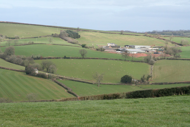
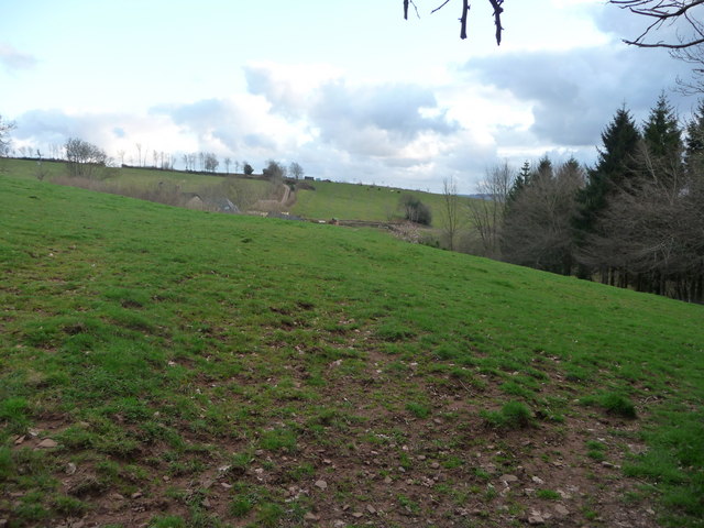
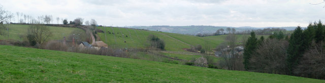
Beech Close Copse is located at Grid Ref: SS9818 (Lat: 50.954155, Lng: -3.4412938)

Administrative County: Devon

District: Mid Devon

Police Authority: Devon and Cornwall

What 3 Words

///doll.processor.cared. Near Sampford Peverell, Devon

Related Wikis

Coombe, Mid Devon

Coombe is a settlement in the English county of Devon, situated some 5 miles (8.0 km) north-east of the town of Tiverton. == External links == grid reference...

Huntsham Castle

Huntsham Castle, Devon, England is an Iron Age Hill fort enclosure near the village of Huntsham, it is located 260 m (850 ft) above sea level on the edge...

All Saints' Church, Huntsham

All Saints' Church, Huntsham is a Grade II* listed parish church in the Church of England. It is in the small village of Huntsham, about 5.8 miles (9.3...

Huntsham Court

Huntsham Court is a Grade II* listed country house in Huntsham, Devon, England. Built in 1868–70, it was designed in the Tudor Gothic style by Benjamin...

Huntsham

Huntsham is a small village and civil parish, formerly a manor and ecclesiastical parish, in the Mid Devon district of Devon, England. The nearest town...

Uplowman

Uplowman () is a village and civil parish in the Mid Devon district, in Devon, England, situated about 4 miles north-east of the town of Tiverton. The...

Knightshayes Court

Knightshayes Court is a Victorian country house near Tiverton, Devon, England, designed by William Burges for the Heathcoat-Amory family. Nikolaus Pevsner...

Chevithorne

Chevithorne (grid reference SS9715) is a small village near Tiverton, Devon. It lies three miles to the North East of Tiverton. 'Chenetorne' is identified...

Nearby Amenities

Located within 500m of 50.954155,-3.4412938
Huntsham Castle
Historic: archaeological_site
Source: NPE
Url: http://en.wikipedia.org/wiki/Huntsham_castle
Lat/Long: 50.9513979/-3.4370074
Power: pole
Source: bing
Lat/Long: 50.9533935/-3.4356033
Power: pole
Source: bing
Lat/Long: 50.9537264/-3.4374654
Power: pole
Source: bing
Lat/Long: 50.9532938/-3.436186
Power: pole
Source: bing
Lat/Long: 50.9534915/-3.4384015
Power: pole
Source: bing
Lat/Long: 50.9540051/-3.4382781
Power: pole
Source: bing
Lat/Long: 50.9549023/-3.438077
Power: pole
Source: bing
Lat/Long: 50.9557421/-3.4378785
Power: pole
Source: bing
Lat/Long: 50.956107/-3.4377846
Power: pole
Source: bing
Lat/Long: 50.9566679/-3.4391177
Power: pole
Source: bing
Lat/Long: 50.9566899/-3.4402201
Power: pole
Source: bing
Lat/Long: 50.9567279/-3.4417985
Power: pole
Source: bing
Lat/Long: 50.957141/-3.4424745
Power: pole
Source: bing
Lat/Long: 50.9578185/-3.4435755
Power: pole
Source: bing
Lat/Long: 50.9579604/-3.4448308
Power: pole
Source: bing
Lat/Long: 50.9572441/-3.4455979
Power: pole
Source: bing
Lat/Long: 50.956477/-3.446357
Power: pole
Source: bing
Lat/Long: 50.9555832/-3.4472662
The data included in this document is from www.openstreetmap.org. The data is made available under ODbL.

Have you been to Beech Close Copse?

Leave your review of Beech Close Copse below (or comments, questions and feedback).