Low Walton Wood
Wood, Forest in Cumberland Copeland
England
Low Walton Wood
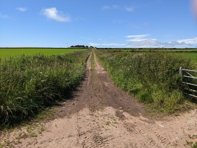
Low Walton Wood is a picturesque forest located in the county of Cumberland, England. Covering an area of approximately 150 acres, this ancient woodland is a prominent natural landmark in the region. The wood is situated near the village of Low Walton and is surrounded by rolling hills and scenic countryside.
Low Walton Wood is known for its diverse range of tree species, including oak, beech, birch, and ash. These towering trees create a dense canopy, providing shelter and habitat for a variety of wildlife. Visitors to the wood can expect to encounter a variety of bird species, such as woodpeckers, owls, and songbirds. The forest floor is adorned with carpets of bluebells and wildflowers during the spring months, making it a popular destination for nature enthusiasts and photographers.
The wood offers an extensive network of walking trails, allowing visitors to explore its natural beauty at their own pace. These trails are well-maintained and signposted, making navigation through the forest easy and enjoyable. Along the paths, there are several seating areas and picnic spots, providing visitors with opportunities to rest and soak in the tranquil surroundings.
Low Walton Wood is not only a haven for wildlife and nature lovers but also holds historical significance. It has been a part of the landscape for centuries, and its ancient trees and archaeological remains provide a glimpse into the area's rich past.
Overall, Low Walton Wood is a captivating destination for those seeking solace in nature, offering a serene environment, diverse wildlife, and a chance to immerse oneself in the history and beauty of Cumberland's countryside.
If you have any feedback on the listing, please let us know in the comments section below.
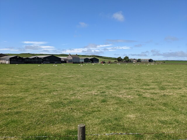
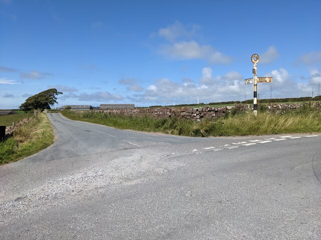
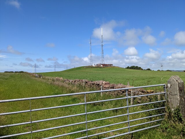
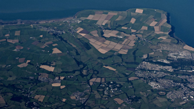
Low Walton Wood Images
Images are sourced within 2km of 54.505807/-3.5642203 or Grid Reference NX9813. Thanks to Geograph Open Source API. All images are credited.


Low Walton Wood is located at Grid Ref: NX9813 (Lat: 54.505807, Lng: -3.5642203)
Administrative County: Cumbria
District: Copeland
Police Authority: Cumbria
What 3 Words
///financial.nightfall.inclines. Near St Bees, Cumbria
Nearby Locations
Related Wikis
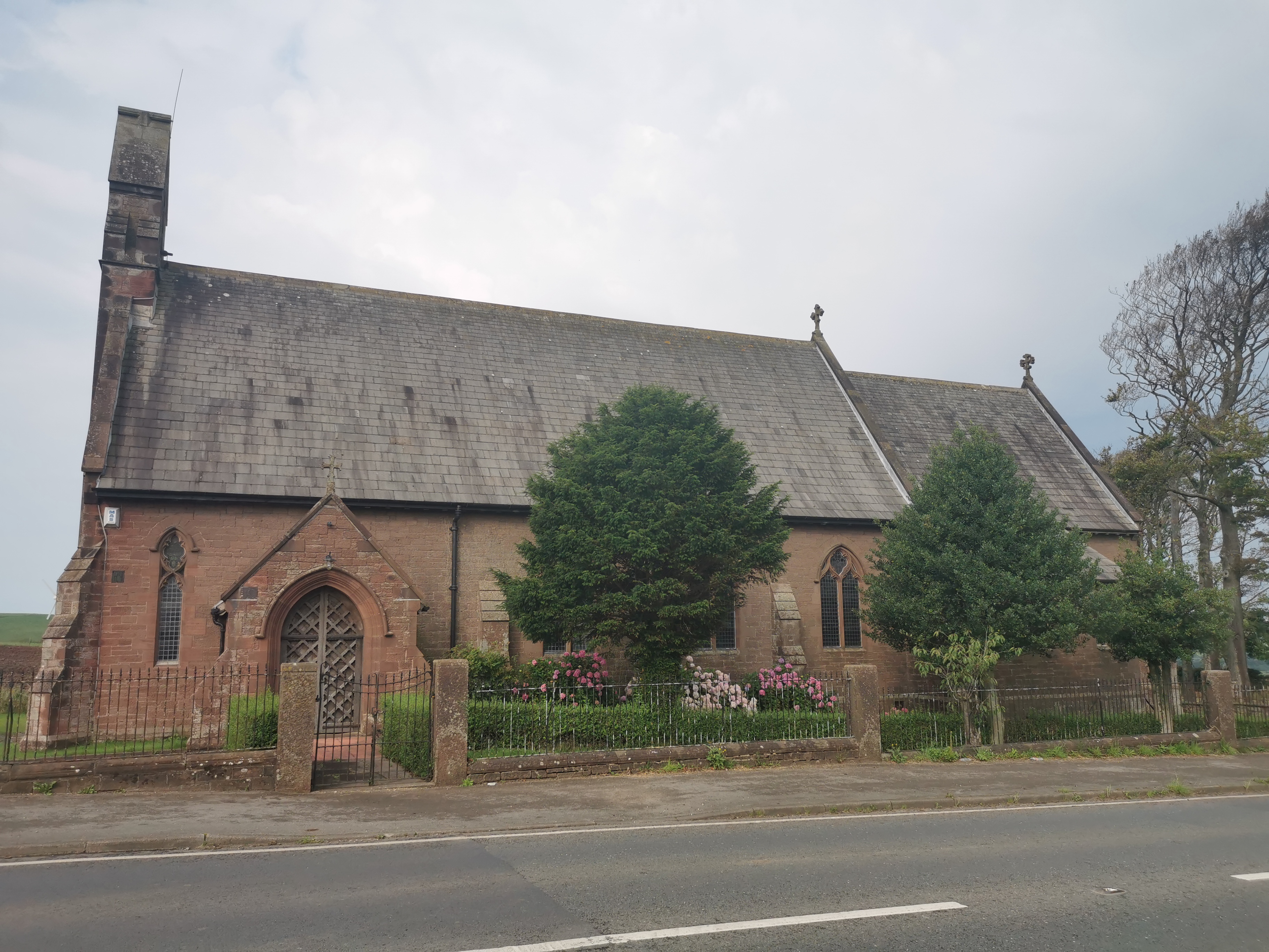
St John, Bigrigg
St John, Bigrigg is an Anglican church near Bigrigg, in Cumbria in northern England. It is in the deanery of Calder, and the diocese of Carlisle. Its benefice...

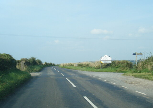
A595 road
The A595 is a primary route in Cumbria, in Northern England that starts in Carlisle, passes through Whitehaven and goes close to Workington, Cockermouth...
Bigrigg
Bigrigg is a village in the English county of Cumbria and within the boundaries of the historic county of Cumberland. Bigrigg is 2 miles north of the...

Moor Row
Moor Row is a village in Cumbria, North West England. It is in Egremont civil parish and lies on a minor road off the A595, south-east of Whitehaven. In...

Moor Row railway station
Moor Row railway station was built by the Whitehaven, Cleator and Egremont Railway. It served the village of Moor Row, Cumbria, England. == History... ==

Woodend railway station
Woodend railway station (formally known as "Woodend for Cleator and Bigrigg") was planned by the Whitehaven, Cleator and Egremont Railway on its Sellafield...

Woodend, Egremont
Woodend is a village near Egremont, Cumbria, England. The village had a station on the Whitehaven, Cleator and Egremont Railway but it closed in 1947....
St Bees School
St Bees School is a co-educational private school in the English public school tradition, located in the West Cumbrian village of St Bees, England. It...
Nearby Amenities
Located within 500m of 54.505807,-3.5642203Have you been to Low Walton Wood?
Leave your review of Low Walton Wood below (or comments, questions and feedback).