Langland's Copse
Wood, Forest in Devon Mid Devon
England
Langland's Copse
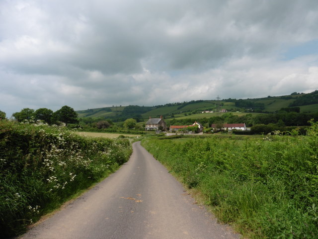
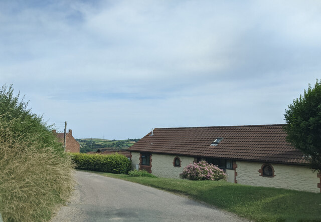
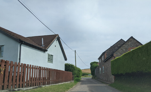
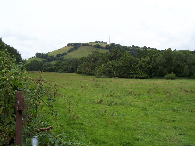
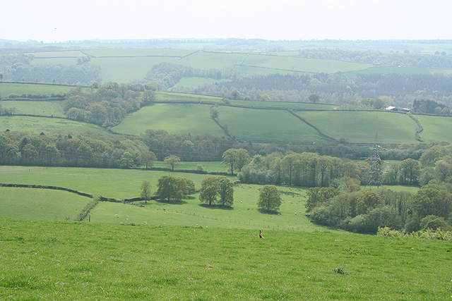
Langland's Copse is a picturesque woodland located in Devon, England. Spread over an area of several hectares, this copse is renowned for its natural beauty and rich biodiversity. It is nestled in the heart of the Devon countryside, surrounded by rolling hills and tranquil meadows.
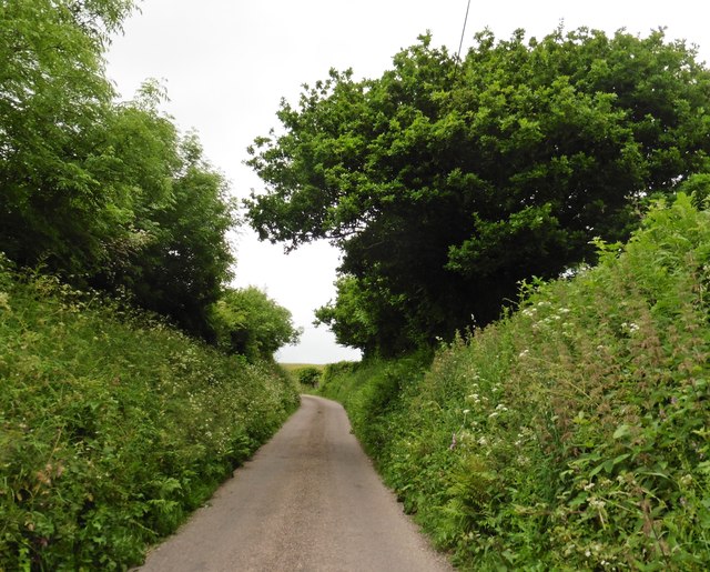
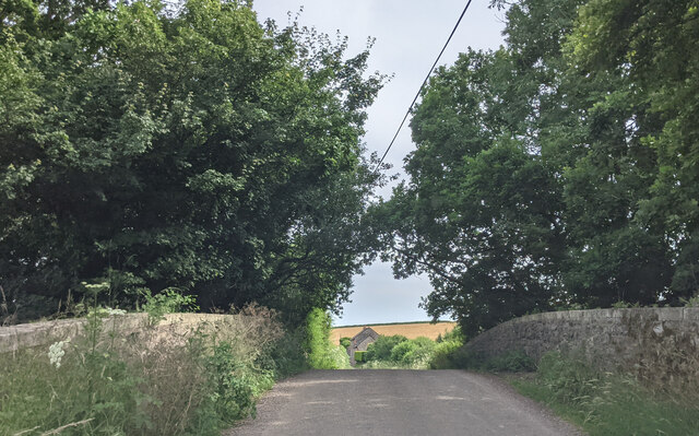
The copse is predominantly composed of native tree species, including oak, beech, and ash, which provide a dense canopy and create a cool and shaded environment. These trees have been standing for many decades, with some estimated to be over a hundred years old, giving the copse a sense of history and maturity.
The forest floor is covered with a lush carpet of ferns, mosses, and wildflowers, which add color and texture to the woodland. It is home to a plethora of wildlife, including various bird species, squirrels, rabbits, and even the occasional deer. The copse serves as an important habitat and breeding ground for many native animals, contributing to the overall ecological health of the region.
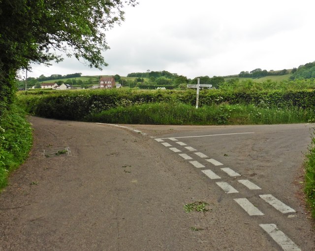
Langland's Copse is a popular destination for nature enthusiasts and hikers, offering a network of well-maintained trails that wind through the woods. These paths allow visitors to explore the copse at their leisure, immersing themselves in its serene atmosphere and enjoying the sights and sounds of nature.
Overall, Langland's Copse is a natural gem in Devon, providing a haven for wildlife and a peaceful retreat for those seeking solace in the beauty of the great outdoors.
If you have any feedback on the listing, please let us know in the comments section below.
Langland's Copse Images
Images are sourced within 2km of 51.016988/-3.445651 or Grid Reference SS9825. Thanks to Geograph Open Source API. All images are credited.


Langland's Copse is located at Grid Ref: SS9825 (Lat: 51.016988, Lng: -3.445651)
Administrative County: Devon
District: Mid Devon
Police Authority: Devon and Cornwall
What 3 Words
///acoustics.sinkhole.cosmic. Near Dulverton, Somerset
Nearby Locations
Related Wikis

Shillingford, Devon
Shillingford is a village two miles (3 km) northeast of Bampton on the River Batherm in Mid Devon, England, close to the border with West Somerset. It...

Petton, Devon
Petton, also known as Petton Cross, is an English village in the civil parish of Bampton, the district of Mid Devon, and the county of Devon. It lies on...

Church of St John, Skilgate
The Anglican Church of St John in Skilgate, Somerset, England was built in the 14th century. It is a Grade II* listed building. == History == The church...
Skilgate
Skilgate is a village and civil parish 5 miles (8 km) east of Dulverton and 8 miles (13 km) west of Wiveliscombe in the Somerset West and Taunton district...

Morebath
Morebath is an upland village in the county of Devon, England. It is mostly given over to sheep-farming, and situated on the southern edge of Exmoor. An...

St George's Church, Morebath
St George's Church, Morebath is a Grade II* listed parish church in the Church of England Diocese of Exeter in Morebath, Devon. It is part of the Hukeley...

Morebath Junction railway station
Morebath Junction Halt was a railway halt near the junction of the Devon and Somerset Railway and Exe Valley Railway in Devon, South West England. �...

Upton, Somerset
Upton is a village and civil parish north of Skilgate in Somerset, England. It is situated on a hill above the eastern end of Wimbleball Lake. == History... ==
Nearby Amenities
Located within 500m of 51.016988,-3.445651Have you been to Langland's Copse?
Leave your review of Langland's Copse below (or comments, questions and feedback).