Ball Copse

Wood, Forest in Devon Mid Devon

England

Ball Copse

Old Hayes
Old Hayes Credit: Roger Cornfoot

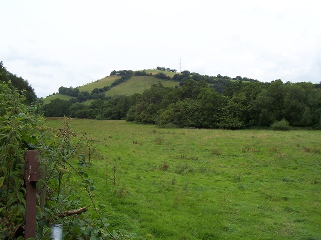
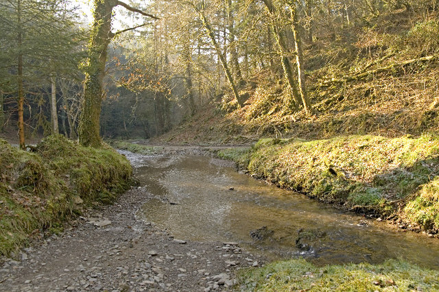
Ball Copse is a picturesque woodland located in Devon, England. Situated in the heart of the county, this enchanting forest covers an area of approximately 50 acres and is known for its natural beauty and tranquility. It is a popular destination for nature enthusiasts, hikers, and those seeking a peaceful retreat from the bustling city life.

The woodland is primarily composed of a mixture of deciduous and evergreen trees, including oak, beech, and ash, creating a diverse and vibrant ecosystem. The lush undergrowth is home to a variety of plant species, including bluebells, wild garlic, and ferns, further adding to the area's charm.

Ball Copse is intersected by a network of winding footpaths, offering visitors the opportunity to explore its hidden corners and discover its hidden treasures. These paths are well-maintained and provide easy access for walkers of all abilities. The forest also features several picnic areas, allowing visitors to relax and enjoy the peaceful surroundings while indulging in a packed lunch.

Wildlife is abundant in the area, with numerous bird species, such as woodpeckers and owls, calling Ball Copse their home. Squirrels can often be spotted darting through the trees, while deer and foxes occasionally make appearances, adding to the sense of wilderness.

Overall, Ball Copse is a true gem of Devon, offering a serene and captivating experience for those who venture into its depths. Its natural beauty, diverse flora and fauna, and tranquil atmosphere make it a must-visit destination for nature-lovers and those seeking a peaceful escape in the heart of the English countryside.

If you have any feedback on the listing, please let us know in the comments section below.
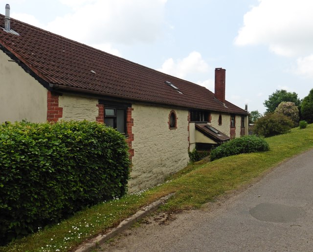
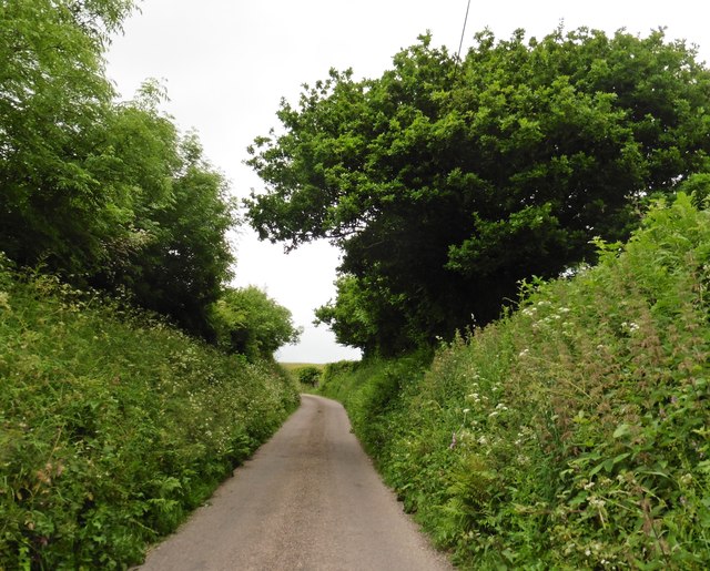
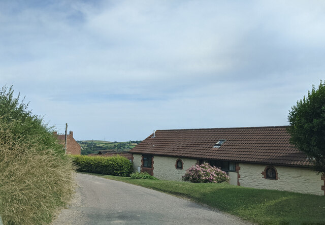
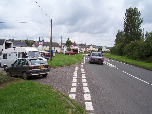
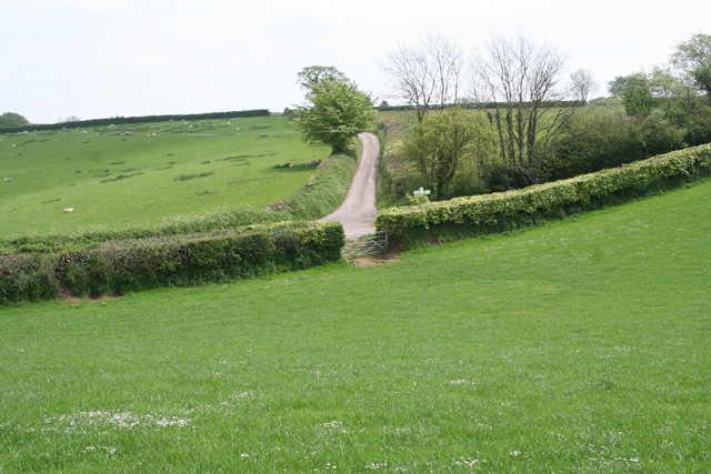
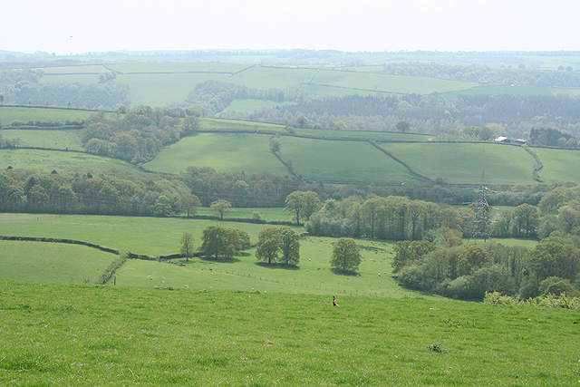
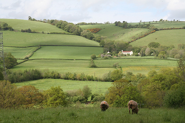
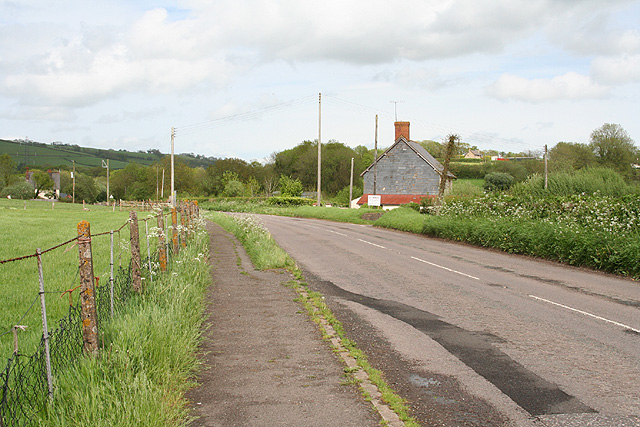
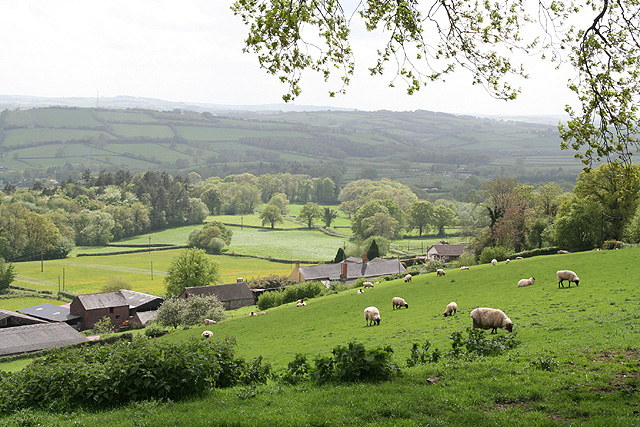
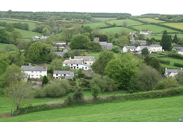
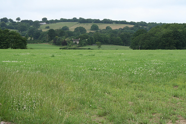
Ball Copse Images

Images are sourced within 2km of 51.014907/-3.4510749 or Grid Reference SS9824. Thanks to Geograph Open Source API. All images are credited.

Old Hayes
Old Hayes
Minor road on Cornet Hill
House at Old Hayes
House at Old Hayes
Claypits Claypits is a widespread collection of dwellings near Morebath.
Claypits
Claypits is a widespread collection of dwellings near Morebath.
River Batherm Valley The River Batherm flows beneath the trees in the middle distance
River Batherm Valley
The River Batherm flows beneath the trees in the middle distance
Shillingford The village of Shillingford is situated on the B3227
Shillingford
The village of Shillingford is situated on the B3227
Morebath Station (disused) The old stone buildings of Morebath station are visible behind the hedge at the top of the field. Morebath is over 1 mile away.
Morebath Station (disused)
The old stone buildings of Morebath station are visible behind the hedge at the top of the field. Morebath is over 1 mile away.
Court Farm Some of the buildings of Court Farm are just visible at the end of this track
Court Farm
Some of the buildings of Court Farm are just visible at the end of this track
Bampton: nearing Hone Cross On the footpath from Skilgate. Looking south east
Bampton: nearing Hone Cross
On the footpath from Skilgate. Looking south east
Bampton: the Batherm valley near Petton Looking south south west. Beyond the woods in mid distance can be seen the B3227 road from Wiveliscombe to Bampton – beneath the tip of the pylon. In this corridor the formation of the long-closed Taunton-Barnstaple railway also survives. That’s a pheasant in the foreground
Bampton: the Batherm valley near Petton
Looking south south west. Beyond the woods in mid distance can be seen the B3227 road from Wiveliscombe to Bampton – beneath the tip of the pylon. In this corridor the formation of the long-closed Taunton-Barnstaple railway also survives. That’s a pheasant in the foreground
Bampton: near Doddiscombe Looking west to Diptford Wood
Bampton: near Doddiscombe
Looking west to Diptford Wood
Bampton: east from Shillingford Looking north over the Batherm valley. Hayne Barton stands centre left by a pylon and below the pylon to the right is Way Farm. Up on the hill, left, is Quartley Farm
Bampton: east from Shillingford
Looking north over the Batherm valley. Hayne Barton stands centre left by a pylon and below the pylon to the right is Way Farm. Up on the hill, left, is Quartley Farm
Bampton: near Great Rill Farm Looking north-north-west. The farm on the right is Higher Dayles
Bampton: near Great Rill Farm
Looking north-north-west. The farm on the right is Higher Dayles
Bampton: near Way Farm Looking north east on the B3227 road to Wiveliscombe
Bampton: near Way Farm
Looking north east on the B3227 road to Wiveliscombe
Bampton: above Quartley Farm Looking south west. The town of Bampton is beyond the first hill on the left
Bampton: above Quartley Farm
Looking south west. The town of Bampton is beyond the first hill on the left
Skilgate: towards the village Seen from the track and public footpath from Haynes Down. Looking north
Skilgate: towards the village
Seen from the track and public footpath from Haynes Down. Looking north
Morebath: near Keens Barn Looking north-north-west
Morebath: near Keens Barn
Looking north-north-west
Ben Brook, Skilgate Wood The bridleway crosses the Ben Brook at a ford which necessitates travelling downstream several metres before gaining the far bank.
Ben Brook, Skilgate Wood
The bridleway crosses the Ben Brook at a ford which necessitates travelling downstream several metres before gaining the far bank.
Show me another place!

Ball Copse is located at Grid Ref: SS9824 (Lat: 51.014907, Lng: -3.4510749)

Administrative County: Devon

District: Mid Devon

Police Authority: Devon and Cornwall

What 3 Words

///hype.galloped.schematic. Near Dulverton, Somerset

Nearby Locations

Ball Copse Shillingford

Related Wikis

Shillingford, Devon

Shillingford is a village two miles (3 km) northeast of Bampton on the River Batherm in Mid Devon, England, close to the border with West Somerset. It...

Petton, Devon

Petton, also known as Petton Cross, is an English village in the civil parish of Bampton, the district of Mid Devon, and the county of Devon. It lies on...

Church of St John, Skilgate

The Anglican Church of St John in Skilgate, Somerset, England was built in the 14th century. It is a Grade II* listed building. == History == The church...

Skilgate

Skilgate is a village and civil parish 5 miles (8 km) east of Dulverton and 8 miles (13 km) west of Wiveliscombe in the Somerset West and Taunton district...

Morebath

Morebath is an upland village in the county of Devon, England. It is mostly given over to sheep-farming, and situated on the southern edge of Exmoor. An...

St George's Church, Morebath

St George's Church, Morebath is a Grade II* listed parish church in the Church of England Diocese of Exeter in Morebath, Devon. It is part of the Hukeley...

Morebath Junction railway station

Morebath Junction Halt was a railway halt near the junction of the Devon and Somerset Railway and Exe Valley Railway in Devon, South West England. �...

Bampton Castle, Devon

Bampton Castle in the parish of Bampton, Devon was the seat of the feudal barony of Bampton. It is located on a spur that overlooks the River Batherm....

Nearby Amenities

Located within 500m of 51.014907,-3.4510749
Power: tower
Source: bing
Lat/Long: 51.0107223/-3.4534438
Power: tower
Source: bing
Lat/Long: 51.0117693/-3.4485322
Power: pole
Source: bing
Lat/Long: 51.0112774/-3.4470919
Power: pole
Source: bing
Lat/Long: 51.0123135/-3.4475532
Power: pole
Source: bing
Lat/Long: 51.0129312/-3.4478778
Power: pole
Source: bing
Lat/Long: 51.0137614/-3.448205
Power: pole
Lat/Long: 51.0182161/-3.4476954
Power: pole
Lat/Long: 51.0179428/-3.4487844
Power: pole
Source: bing
Lat/Long: 51.0143216/-3.4485322
Power: pole
Source: bing
Lat/Long: 51.0154556/-3.4490472
Power: pole
Lat/Long: 51.0161019/-3.4564447
Power: pole
Lat/Long: 51.0168038/-3.4534863
Power: pole
Lat/Long: 51.0173336/-3.451319
Power: pole
Lat/Long: 51.0177082/-3.4497875
Power: pole
Lat/Long: 51.0178989/-3.448948
Power: pole
Source: bing
Lat/Long: 51.016441/-3.4489828
Power: pole
Source: bing
Lat/Long: 51.0171227/-3.4489104
Power: pole
Source: bing
Lat/Long: 51.0178365/-3.4488782
The data included in this document is from www.openstreetmap.org. The data is made available under ODbL.

Have you been to Ball Copse?

Leave your review of Ball Copse below (or comments, questions and feedback).