Brimley Plantation

Wood, Forest in Somerset Somerset West and Taunton

England

Brimley Plantation

Crossing Bessom Bridge at the head of Wimbleball lake, heading east
Crossing Bessom Bridge at the head of Wimbleball lake, heading east Credit: Rob Purvis

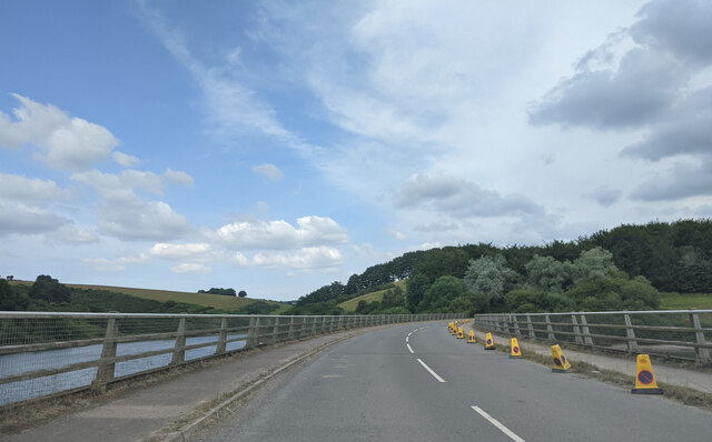
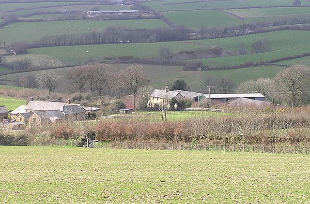
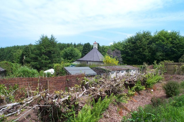
Brimley Plantation, located in Somerset, England, is a charming woodland estate nestled amidst the rolling hills and picturesque landscapes of the region. Covering a vast area of lush greenery, the plantation is renowned for its dense forests and diverse flora and fauna.

The woodland, known as Brimley Forest, is characterized by its towering ancient trees, including oak, beech, and chestnut, which provide a rich canopy and create a serene and enchanting atmosphere. The plantation is home to a variety of wildlife, including deer, foxes, and a plethora of bird species, making it an ideal destination for nature enthusiasts and birdwatchers.

In addition to its natural beauty, Brimley Plantation offers a range of recreational activities for visitors. Miles of well-maintained walking trails wind through the forest, allowing visitors to explore the plantation's stunning scenery at their leisure. These trails also provide access to several viewpoints, offering breathtaking vistas of the surrounding countryside.

The plantation also boasts a quaint visitor center, where guests can learn about the history and conservation efforts of Brimley Forest. The center features interactive exhibits, educational displays, and knowledgeable staff who are eager to share their expertise on the local ecosystem.

Brimley Plantation is not only a haven for nature lovers but also plays a vital role in the conservation of the region's biodiversity. The estate actively engages in sustainable forestry practices, ensuring the long-term preservation of the woodland ecosystem.

Overall, Brimley Plantation in Somerset is a captivating destination that showcases the beauty of nature, providing a tranquil retreat for all who visit.

If you have any feedback on the listing, please let us know in the comments section below.

Brimley Plantation Images

Images are sourced within 2km of 51.091034/-3.4551561 or Grid Reference SS9833. Thanks to Geograph Open Source API. All images are credited.

Crossing Bessom Bridge at the head of Wimbleball lake, heading east
Brompton Regis : Wimbleball Lake The average reserves are below what they were in the previous exceptionally dry year of 1995 - where the reservoir’s capacity was still above 80 per cent.
Brompton Regis : Wimbleball Lake
The average reserves are below what they were in the previous exceptionally dry year of 1995 - where the reservoir’s capacity was still above 80 per cent.
Brompton Regis : Wimbleball Lake Not so much a lake as water levels hit record lows.
Brompton Regis : Wimbleball Lake
Not so much a lake as water levels hit record lows.
Brompton Regis : Bessom Bridge Looking towards Bessom Bridge which usually has Wimblelake Lake underneath.
Brompton Regis : Bessom Bridge
Looking towards Bessom Bridge which usually has Wimblelake Lake underneath.
Brompton Regis : Bessom Bridge Looking towards Bessom Bridge at the northern side of Wimbleball Lake, which today is not much of a lake.
Brompton Regis : Bessom Bridge
Looking towards Bessom Bridge at the northern side of Wimbleball Lake, which today is not much of a lake.
Brompton Regis : Wimbleball Lake Where the water should be at the northern end of the lake.
Brompton Regis : Wimbleball Lake
Where the water should be at the northern end of the lake.
Brompton Regis : Wimbleball Lake From Bessom Bridge looking across the trickle of water which is normally the lake.
Brompton Regis : Wimbleball Lake
From Bessom Bridge looking across the trickle of water which is normally the lake.
West Somerset : Country Road A country road with a junction and sign directing to Withiel Florey.
West Somerset : Country Road
A country road with a junction and sign directing to Withiel Florey.
West Somerset : Country Road A country road with a signpost pointing the way to Withiel Florey, Brompton Regis and Watchet.
West Somerset : Country Road
A country road with a signpost pointing the way to Withiel Florey, Brompton Regis and Watchet.
Minor road to Robbery Gate
Road junction, near Redgate
Brompton Regis: Gupworthy Farm Nearby are old workings for iron ore as is the site of the terminus of the West Somerset Mineral Railway – both at SS966353. Below the farm a barn retained an overshot waterwheel in 1996; it was said to be powered by the water from a mine adit, channelled in a leat
Brompton Regis: Gupworthy Farm
Nearby are old workings for iron ore as is the site of the terminus of the West Somerset Mineral Railway – both at SS966353. Below the farm a barn retained an overshot waterwheel in 1996; it was said to be powered by the water from a mine adit, channelled in a leat
Besom Bridge, Wimbleball reservoir New bridge over north going arm of the reservoir taking the Brompton Regis to Brendon Hill road over the flooded valley
Besom Bridge, Wimbleball reservoir
New bridge over north going arm of the reservoir taking the Brompton Regis to Brendon Hill road over the flooded valley
Swansea Farm, Withiel Florey Looking NW from the Withiel Florey approach road
Swansea Farm, Withiel Florey
Looking NW from the Withiel Florey approach road
Church of St. Mary Magdalene, Withiel Florey Looking North over the upper part of the valley that contains the north arm of Wimbleball reservoir.
Church of St. Mary Magdalene, Withiel Florey
Looking North over the upper part of the valley that contains the north arm of Wimbleball reservoir.
The Round House This oddly shaped house, probably hexagonal or octagonal (difficult to tell from the road), is on the north side of the B3224.
The Round House
This oddly shaped house, probably hexagonal or octagonal (difficult to tell from the road), is on the north side of the B3224.
Road junction near Withiel Florey on the Brendon Hills
Ruglands Farm Beyond the farm buildings there is a glimpse of Wimbleball Lake, the largest reservoir in Somerset.
Ruglands Farm
Beyond the farm buildings there is a glimpse of Wimbleball Lake, the largest reservoir in Somerset.
Show me another place!

Brimley Plantation is located at Grid Ref: SS9833 (Lat: 51.091034, Lng: -3.4551561)

Administrative County: Somerset

District: Somerset West and Taunton

Police Authority: Avon and Somerset

What 3 Words

///innovator.snoring.riddle. Near Dulverton, Somerset

Related Wikis

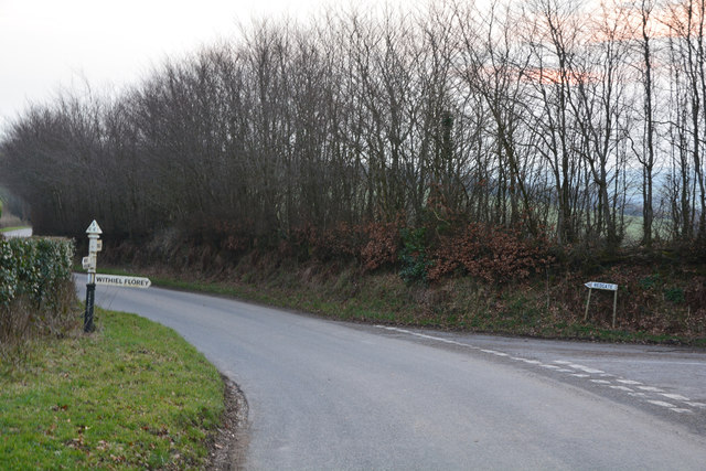
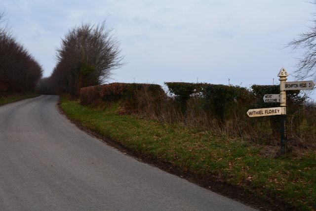
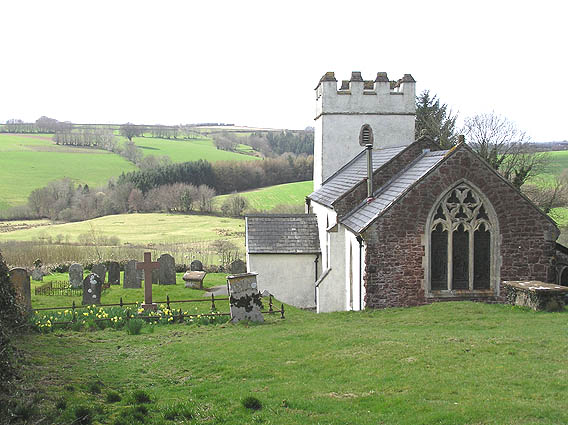
Church of St Mary Magdalene, Withiel Florey

The Anglican Church of St Mary Magdalene in Withiel Florey, Somerset, England was built in the 12th century. It is a Grade II* listed building. == History... ==

Luxborough Road railway station

Luxborough Road (sometimes referred to as "Langham" or "Langham Hill") was an intermediate station on the West Somerset Mineral Railway (WSMR), which was...
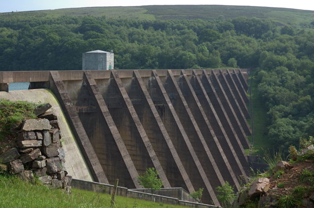
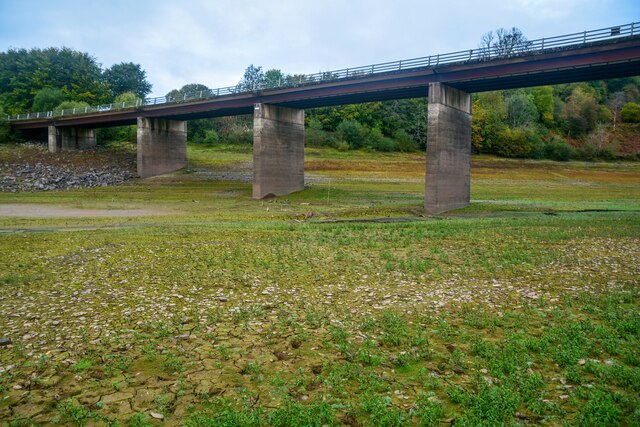
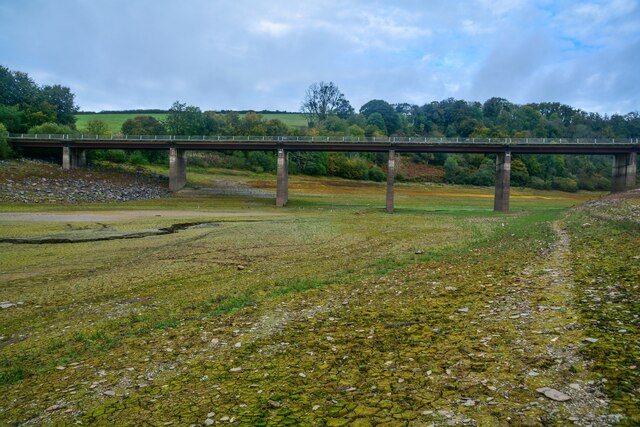
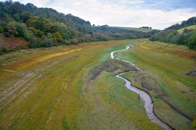
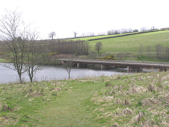
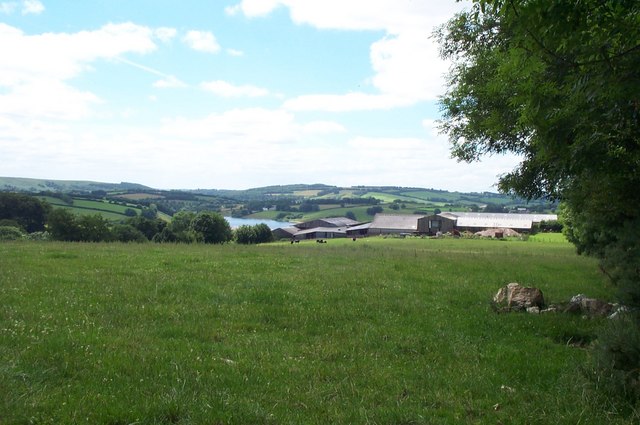
Wimbleball Lake

Wimbleball Lake on Exmoor in Somerset, England, is a water supply reservoir constructed in the 1970s and completed in 1979. The 161 feet (49 m) high dam...

Gupworthy railway station

Gupworthy (sometimes referred to as "Goosemoor") was originally intended as an intermediate station on the West Somerset Mineral Railway (WSMR), but neither...

Brompton Regis

Brompton Regis (formerly known as Kingsbrompton) is a village and civil parish in the Somerset West and Taunton district of Somerset, England about 5 miles...

Church of St Mary, Brompton Regis

The Anglican Church of St Mary in Brompton Regis, Somerset, England was built in the 13th century. It is a Grade II* listed building. == History == The...

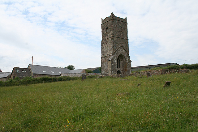
Old Church of St James, Upton

The Old St James's Church is a former church in the village of Upton, Somerset, England, of which only the tower remains, overlooking Wimbleball Lake....

Church of St Peter, Williton

The Anglican Church of St Peter in Williton in the English county of Somerset is recorded in the National Heritage List for England as a designated Grade...

Nearby Amenities

Located within 500m of 51.091034,-3.4551561
The data included in this document is from www.openstreetmap.org. The data is made available under ODbL.

Have you been to Brimley Plantation?

Leave your review of Brimley Plantation below (or comments, questions and feedback).