Alder Grove
Wood, Forest in Devon Mid Devon
England
Alder Grove
Alder Grove, located in Devon, England, is a captivating woodland area renowned for its picturesque landscapes and diverse flora and fauna. Situated in the heart of the county, this enchanting forest spans over a vast area, offering visitors a tranquil retreat from the bustling city life.
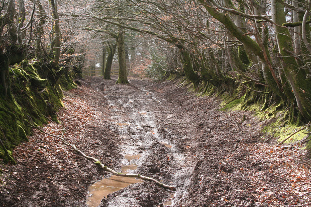
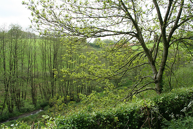
The woodland is predominantly composed of alder trees, hence the name Alder Grove. These magnificent trees create a dense canopy, casting dappled sunlight on the forest floor, creating a mystical ambiance. The alder trees thrive in the moist soil found in the area, with their distinctive leaves and catkins adding to the area's charm.
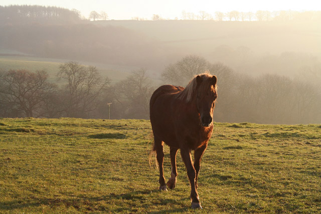
Alder Grove is home to an abundance of wildlife, making it a haven for nature enthusiasts. Visitors can spot an array of bird species, including woodpeckers, owls, and warblers, as well as small mammals like hedgehogs, rabbits, and squirrels. The forest also houses a diverse range of plant life, with wildflowers, ferns, and mosses carpeting the forest floor.
Numerous walking trails wind through the woodland, allowing visitors to explore the area at their own pace. These well-maintained paths are suitable for all ages and abilities, providing a chance to immerse oneself in the serene surroundings. Along the trails, informative signposts educate visitors about the various species of plants and animals found in the grove.
Alder Grove offers a peaceful escape for nature lovers, providing a sanctuary where one can reconnect with the natural world. Whether it's a leisurely stroll, birdwatching, or simply enjoying the serenity of the forest, Alder Grove is a must-visit destination for those seeking solace in Devon's enchanting woodlands.
If you have any feedback on the listing, please let us know in the comments section below.
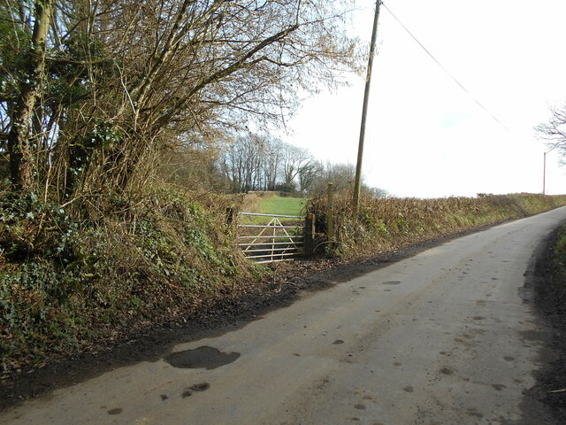
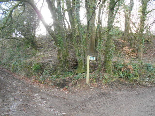
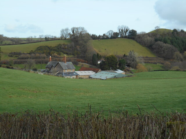
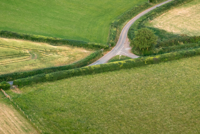
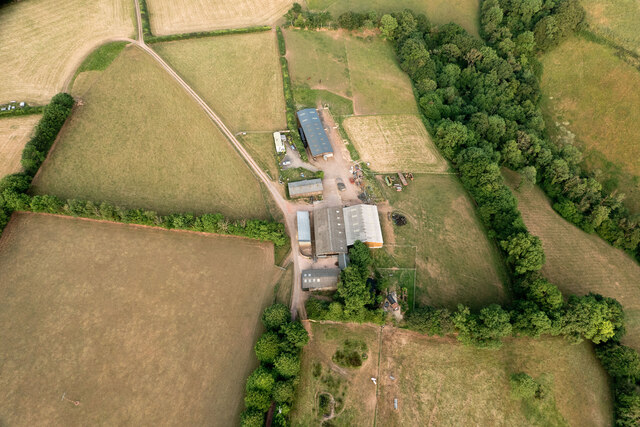
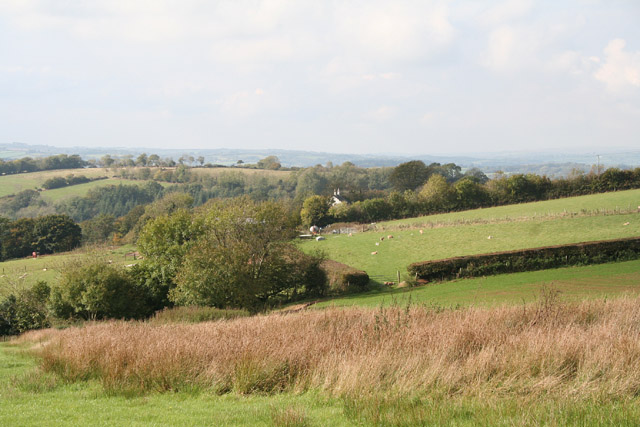
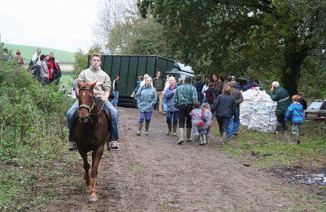
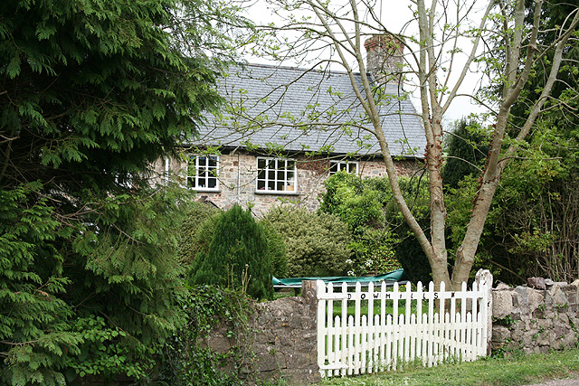
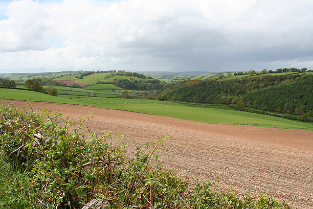
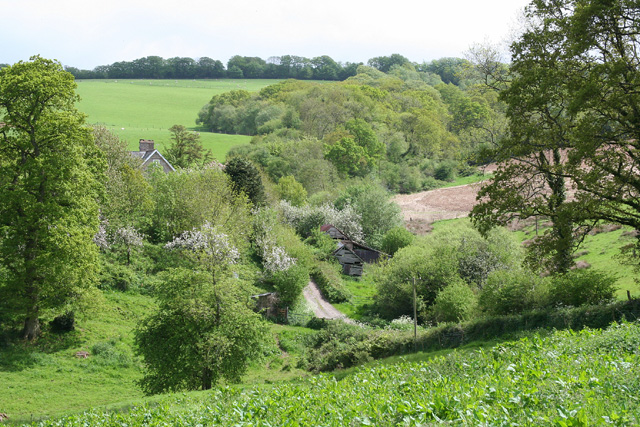
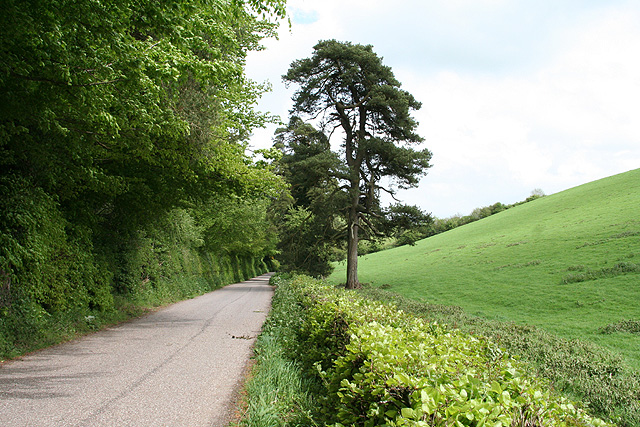
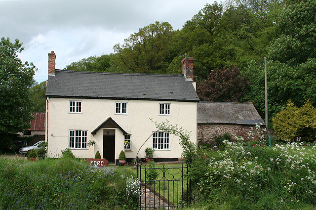
Alder Grove Images
Images are sourced within 2km of 50.982068/-3.4522588 or Grid Reference SS9821. Thanks to Geograph Open Source API. All images are credited.
Alder Grove is located at Grid Ref: SS9821 (Lat: 50.982068, Lng: -3.4522588)
Administrative County: Devon
District: Mid Devon
Police Authority: Devon and Cornwall
What 3 Words
///attaching.grounded.threaten. Near Sampford Peverell, Devon
Nearby Locations
Related Wikis

Huntsham Castle
Huntsham Castle, Devon, England is an Iron Age Hill fort enclosure near the village of Huntsham, it is located 260 m (850 ft) above sea level on the edge of the former Parish of Tiverton. The monument includes a slight univallate hillfort situated on a prominent hill overlooking the valleys of two separate tributaries to the River Lowman. The monument survives as a sub-circular enclosure, defining an area which slopes gently down to the south and measures approximately 150m in diameter.
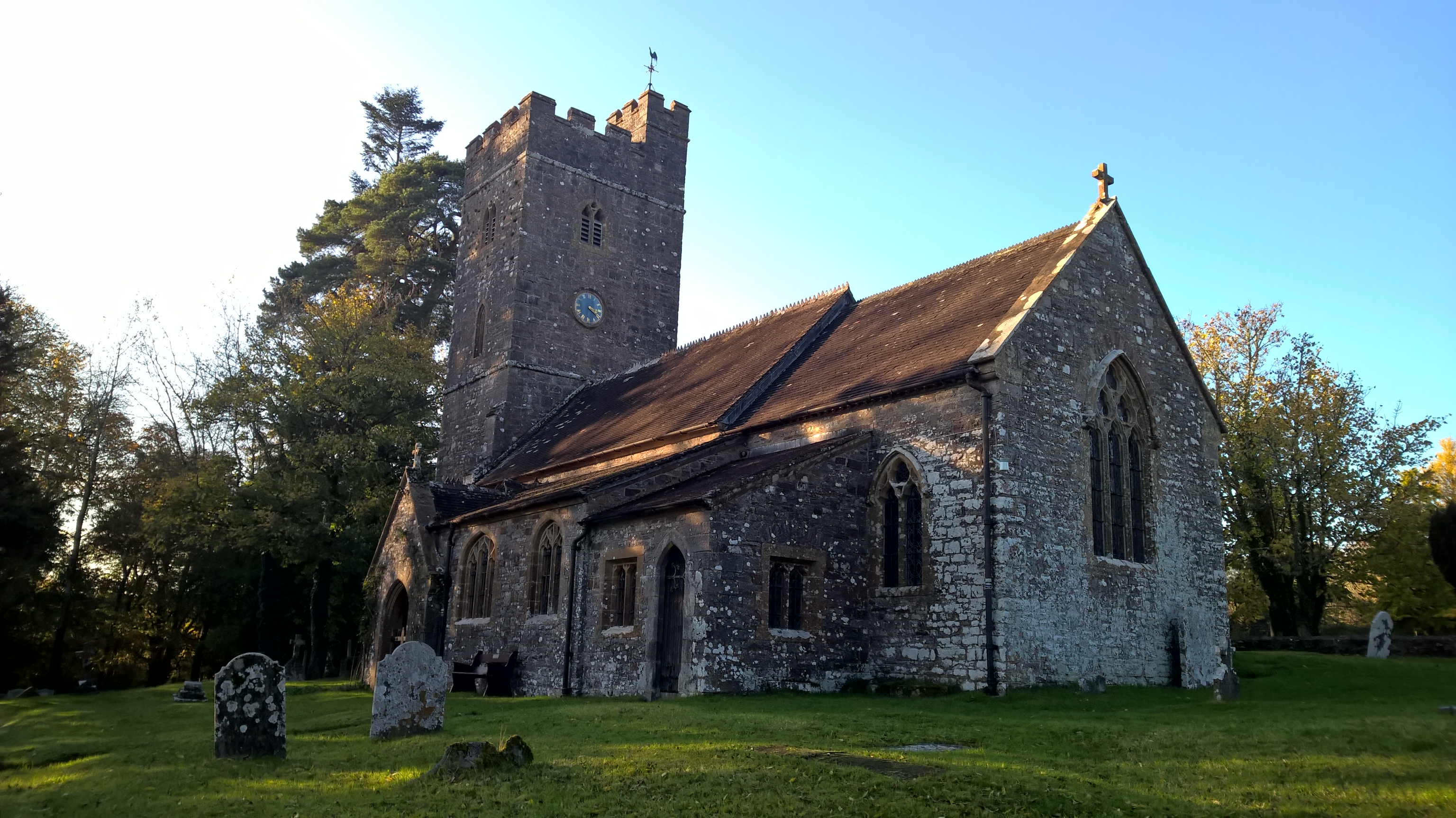
All Saints' Church, Huntsham
All Saints' Church, Huntsham is a Grade II* listed parish church in the Church of England. It is in the small village of Huntsham, about 5.8 miles (9.3 km) to the north-east of Tiverton. It is part of the Hukeley Mission group of parishes, which also includes St Michael & All Angels in Bampton, St Peter's in Clayhanger, St Petrock's in Petton and St George's in Morebath.

Huntsham Court
Huntsham Court is a Grade II* listed country house in Huntsham, Devon, England. Built in 1868–70, it was designed in the Tudor Gothic style by Benjamin Ferrey for Charles Troyte. It was then the home of his son and local MP, Sir Gilbert Acland Troyte.

Huntsham
Huntsham is a small village and civil parish, formerly a manor and ecclesiastical parish, in the Mid Devon district of Devon, England. The nearest town is Tiverton, about 5.8 miles (9.3 km) south-west of the village. The parish is surrounded clockwise from the north by the parishes of Bampton, Hockworthy, Uplowman and Tiverton; it is bounded on the east by the River Lowman and by a minor road on Bampton Down to the north west, where it reaches a maximum height of 914 feet (279 m).

Bampton, Devon
Bampton is a small town and parish in northeast Devon, England, on the River Batherm, a tributary of the River Exe. It is about 6 miles (9.7 km) north of Tiverton, 19 miles (31 km) north of Exeter and the parish borders Somerset on its north-east and north-west sides. Bampton is a major part of the electoral ward of Clare and Shuttern.

River Batherm
The River Batherm is a river which flows through Somerset and Devon in England. The river rises on high ground near the village of Sperry Barton, between Wimbleball and Clatworthy reservoirs. It flows south through the villages of Blackwell, Petton, and Shillingford before it joins the River Exe just over a mile downstream from Bampton.

Bampton Castle, Devon
Bampton Castle in the parish of Bampton, Devon was the seat of the feudal barony of Bampton. It is located on a spur that overlooks the River Batherm. == History == In Saxon times a defensive mound was built.

Shillingford, Devon
Shillingford is a village two miles (3 km) northeast of Bampton on the River Batherm in Mid Devon, England, close to the border with West Somerset. It is near the Exe Valley. Between 1826 and 1830, a turnpike road was constructed from Taunton to Bampton.
Nearby Amenities
Located within 500m of 50.982068,-3.4522588Have you been to Alder Grove?
Leave your review of Alder Grove below (or comments, questions and feedback).