Clashnoir
Settlement in Banffshire
Scotland
Clashnoir
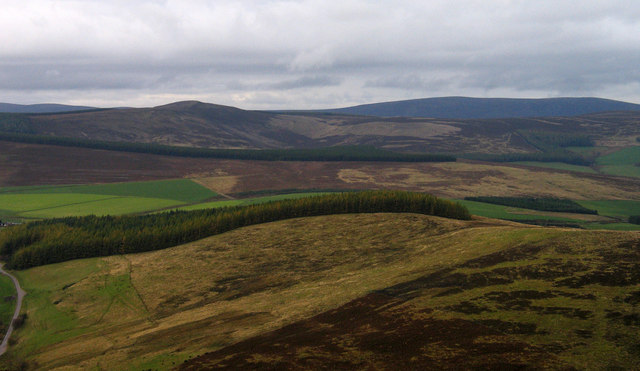
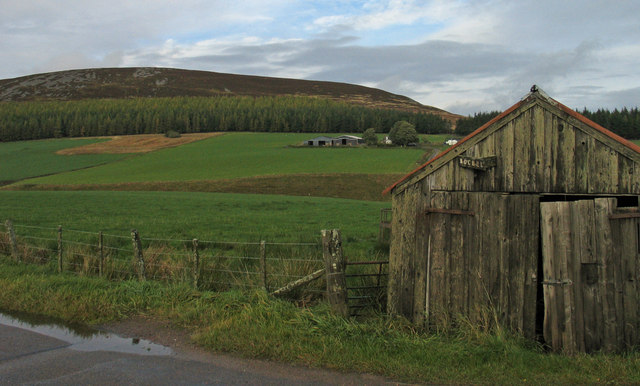
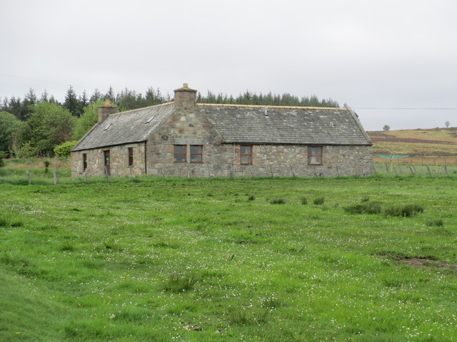
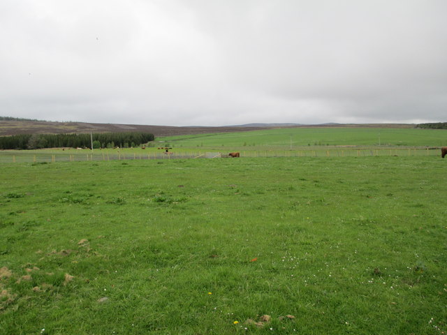
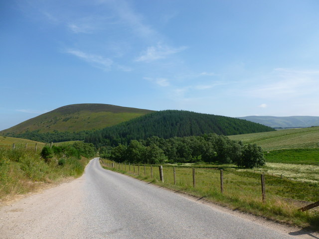
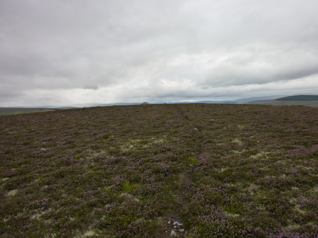
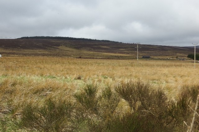
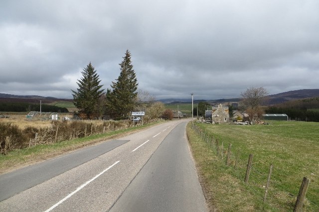
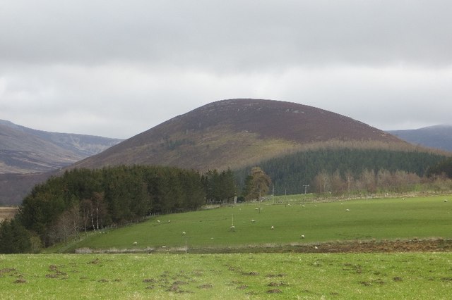
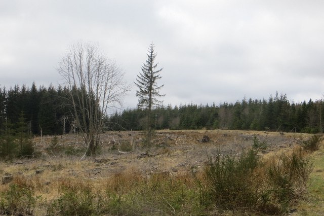
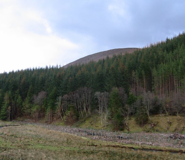
Clashnoir is a small village located in the historic county of Banffshire, Scotland. Situated in the northeastern part of the country, Clashnoir is nestled amidst picturesque landscapes and is renowned for its natural beauty. The village is situated on the banks of the River Deveron, providing residents and visitors with stunning views of the surrounding countryside.
With a population of approximately 500 residents, Clashnoir maintains a close-knit community atmosphere. The village is known for its welcoming and friendly locals, who take pride in preserving the area's rich cultural heritage. Traditional Scottish customs and traditions still hold a significant influence in Clashnoir, with various events and festivals organized throughout the year, showcasing the village's vibrant culture.
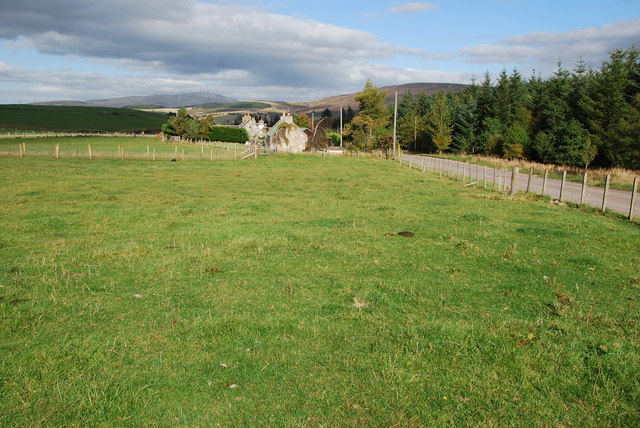
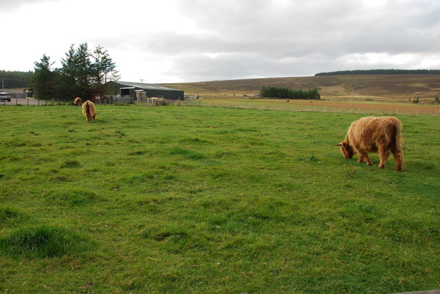
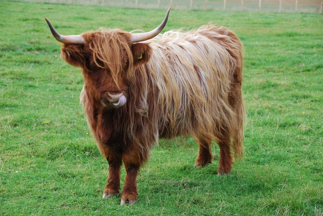
Clashnoir offers a range of amenities to cater to the needs of its residents. The village boasts a well-maintained primary school, a community center, and several local shops and businesses. The area's economy primarily revolves around agriculture, with farming being a prominent occupation for many residents. The fertile land surrounding Clashnoir allows for the cultivation of crops and the rearing of livestock.
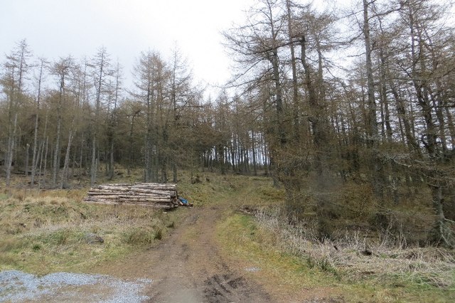
For outdoor enthusiasts, Clashnoir offers an array of activities. The tranquil River Deveron is a popular spot for fishing, attracting anglers from far and wide. The surrounding countryside provides ample opportunities for hiking, cycling, and exploring the region's natural beauty.
Overall, Clashnoir in Banffshire is a charming village that embraces its rural identity while offering a warm and welcoming atmosphere to residents and visitors alike.
If you have any feedback on the listing, please let us know in the comments section below.
Clashnoir Images
Images are sourced within 2km of 57.281942/-3.2954452 or Grid Reference NJ2222. Thanks to Geograph Open Source API. All images are credited.


Clashnoir is located at Grid Ref: NJ2222 (Lat: 57.281942, Lng: -3.2954452)
Unitary Authority: Moray
Police Authority: North East
What 3 Words
///defectors.uproot.patio. Near Grantown-on-Spey, Highland
Nearby Locations
Related Wikis

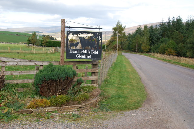
Clashnoir
Clashnoir is a settlement in Glenlivet, Moray, Scotland, 92 miles north of Edinburgh and 25 miles south of Elgin.
Auchnarrow
Auchnarrow (Scottish Gaelic: Achadh an Arbha) is a village in Moray, Scotland.

County of Moray
Moray; (Scottish Gaelic: Moireibh [ˈmɤɾʲəv]) or Morayshire, called Elginshire until 1919, is a historic county, registration county and lieutenancy area...
Glenlivet Estate
The Glenlivet Estate is located in Glenlivet, Scotland in the Cairngorms National Park. It measures 58,000 acres (230 km2) and is part of The Crown Estate...

Braeval distillery
Braeval distillery is a distiller of Scotch whisky in Chapeltown, Banffshire, Scotland. Founded in 1973 as Braes of Glenlivet, the distillery is owned...

West Aberdeenshire and Kincardine (UK Parliament constituency)
West Aberdeenshire and Kincardine is a county constituency of the House of Commons of the Parliament of the United Kingdom of Great Britain and Northern...

Scalan
The Scalan was once a seminary and was one of the few places in Scotland where the Roman Catholic faith was kept alive during the troubled times of the...

Church of The Incarnation, Tombae
The Church of The Incarnation was built between 1827 and 1829 as a Roman Catholic church, under the patronage of the Gordon family, in Banffshire, Scotland...
Nearby Amenities
Located within 500m of 57.281942,-3.2954452Have you been to Clashnoir?
Leave your review of Clashnoir below (or comments, questions and feedback).