Colcombe Brake

Wood, Forest in Devon Mid Devon

England

Colcombe Brake

St Thomas church, Chevithorne This is home church to the Heathcoat Amory family of Knightshayes.
A number of memorials can be seen inside.
St Thomas church, Chevithorne Credit: Anthony Vosper

Colcombe Brake is a picturesque woodland located in the county of Devon, England. Situated near the village of Colcombe, it covers an area of approximately 50 acres and is known for its natural beauty and diverse wildlife.

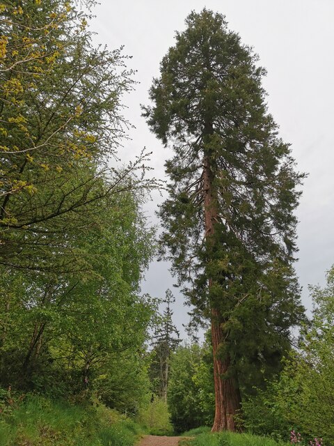
The woodland is predominantly made up of ancient deciduous trees, such as oak, beech, and ash, which create a dense canopy overhead. This creates a tranquil and shaded environment, perfect for those seeking a peaceful retreat in nature. The forest floor is adorned with a rich carpet of wildflowers, ferns, and mosses, adding to its enchanting appeal.

Colcombe Brake is home to a wide variety of wildlife, including mammals, birds, and insects. It provides a habitat for animals such as deer, foxes, badgers, and bats, as well as numerous species of birds, including woodpeckers, owls, and thrushes. The woodland is also an important breeding ground for butterflies and bees, with many rare and protected species finding refuge here.

Visitors to Colcombe Brake can enjoy a range of activities, including walking, hiking, and birdwatching. There are several well-marked trails that meander through the woodland, allowing visitors to explore its hidden corners and discover its natural treasures. The tranquil atmosphere and beautiful scenery make it an ideal place for nature lovers, photographers, and those seeking a peaceful escape from the hustle and bustle of everyday life.

In summary, Colcombe Brake is a stunning woodland in Devon, renowned for its ancient trees, diverse wildlife, and peaceful ambiance. It offers visitors a chance to reconnect with nature and enjoy the beauty of the English countryside.

If you have any feedback on the listing, please let us know in the comments section below.

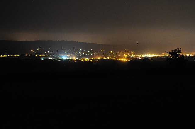
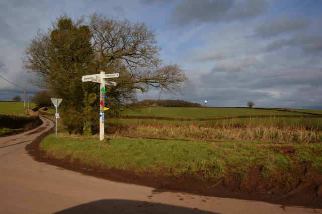
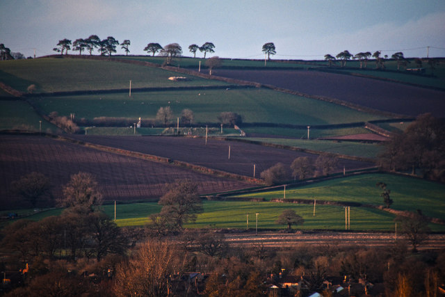
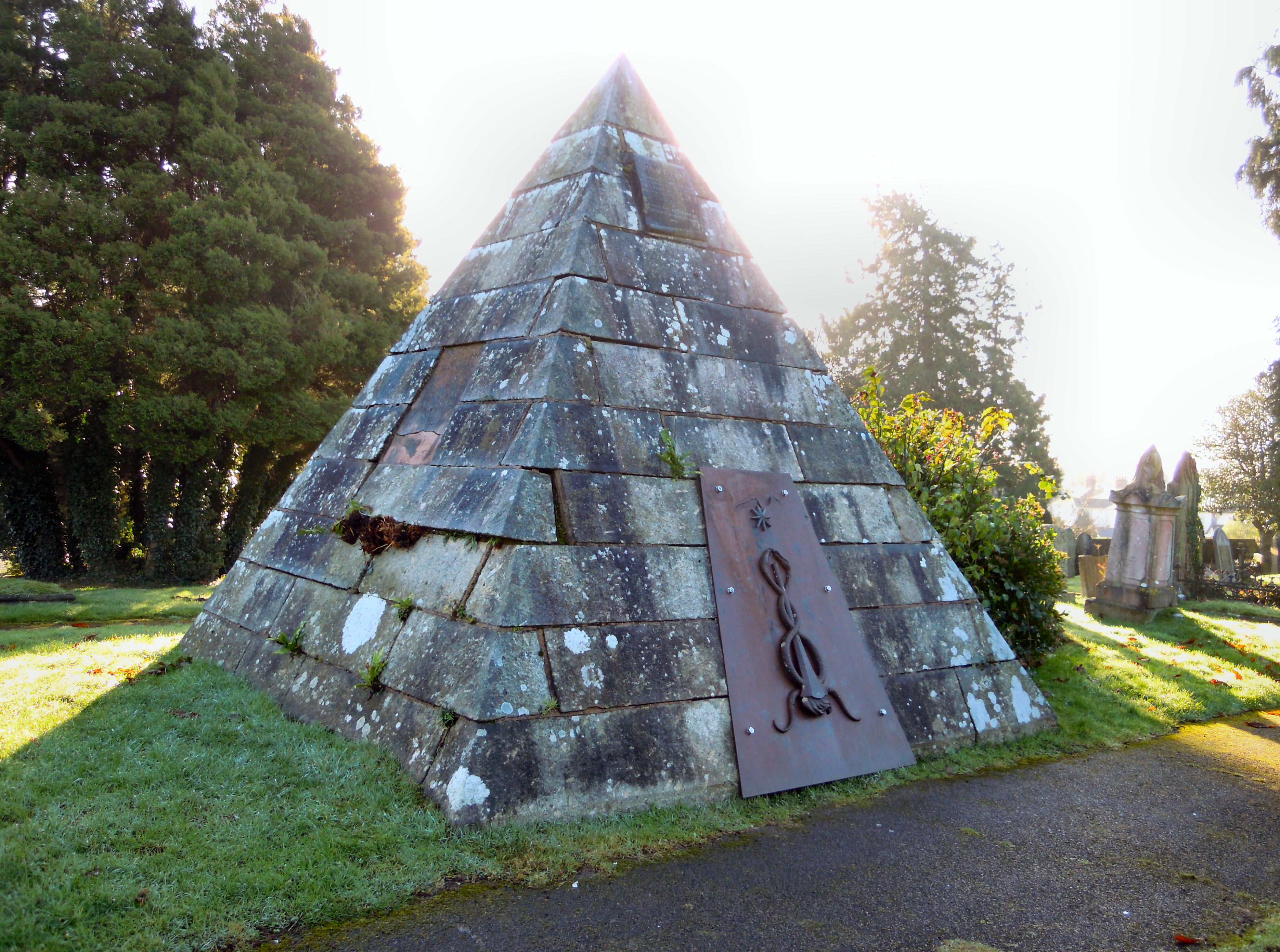
Colcombe Brake Images

Images are sourced within 2km of 50.944224/-3.4596483 or Grid Reference SS9717. Thanks to Geograph Open Source API. All images are credited.

St Thomas church, Chevithorne This is home church to the Heathcoat Amory family of Knightshayes.
A number of memorials can be seen inside.
St Thomas church, Chevithorne
This is home church to the Heathcoat Amory family of Knightshayes. A number of memorials can be seen inside.
The main street, Chevithorne A quiet mid Devon hamlet.
The wall contains a Victorian postbox.
The main street, Chevithorne
A quiet mid Devon hamlet. The wall contains a Victorian postbox.
Chevithorne War Memorial Framed by the churchyard gate. The memorial cross appears to have a lantern on its top.
Photographed by accident and not design.
Chevithorne War Memorial
Framed by the churchyard gate. The memorial cross appears to have a lantern on its top. Photographed by accident and not design.
A new lease of life Chevithorne Methodist church. <a href="https://www.geograph.org.uk/photo/1395815">SS9715 : Chevithorne Methodist Chapel</a> is undergoing another transformation.
<a href="https://www.geograph.org.uk/photo/5197495">SS9715 : Redundant chapel, Chevithorpe</a> and is being turned into a private dwelling.
A new lease of life
Chevithorne Methodist church. SS9715 : Chevithorne Methodist Chapel is undergoing another transformation. SS9715 : Redundant chapel, Chevithorpe and is being turned into a private dwelling.
Chettiscombe : Footpath A footpath through the Knightshayes Estate.
Chettiscombe : Footpath
A footpath through the Knightshayes Estate.
Chevithorne : Lane A lane alongside the house.
Chevithorne : Lane
A lane alongside the house.
Chevithorne : St Thomas Church Anglican church. 1843 by Benjamin Ferrey, under the Rev. William Rayer.
Chevithorne : St Thomas Church
Anglican church. 1843 by Benjamin Ferrey, under the Rev. William Rayer.
Ewings Farm The vehicles on the road are hot air balloon ground crew.
Ewings Farm
The vehicles on the road are hot air balloon ground crew.
Ewings Farm
Ewings Farm
Palfrey's Barton
Palfrey's Barton
Chevithorne : Peadhill Cottages Cottages in Chevithorne.
Chevithorne : Peadhill Cottages
Cottages in Chevithorne.
Chevithorne : Trerice A cottage in Chevithorne.
Chevithorne : Trerice
A cottage in Chevithorne.
Chevithorne : Peadhill Lane Looking along Peadhill Lane.
Chevithorne : Peadhill Lane
Looking along Peadhill Lane.
Mid Devon : Tiverton Scenery Looking out across to Tiverton and the lights of the town.
Mid Devon : Tiverton Scenery
Looking out across to Tiverton and the lights of the town.
Mid Devon : Grassy Field & Track A grassy field and a track heading towards Berry. Venus can be seen in the night sky.
Mid Devon : Grassy Field & Track
A grassy field and a track heading towards Berry. Venus can be seen in the night sky.
Mid Devon : Grassy Field & Tree A grassy field with a tree on the hillside near Chevithorne.
Mid Devon : Grassy Field & Tree
A grassy field with a tree on the hillside near Chevithorne.
Mid Devon : Van Post Hill On the road between Tiverton and Bampton.
Mid Devon : Van Post Hill
On the road between Tiverton and Bampton.
Tiverton : Countryside Scenery From the town looking out towards the countryside.
Tiverton : Countryside Scenery
From the town looking out towards the countryside.
Show me another place!

Colcombe Brake is located at Grid Ref: SS9717 (Lat: 50.944224, Lng: -3.4596483)

Administrative County: Devon

District: Mid Devon

Police Authority: Devon and Cornwall

What 3 Words

///bombard.anchovies.earliest. Near Tiverton, Devon

Related Wikis

Knightshayes Court

Knightshayes Court is a Victorian country house near Tiverton, Devon, England, designed by William Burges for the Heathcoat-Amory family. Nikolaus Pevsner...

Coombe, Mid Devon

Coombe is a settlement in the English county of Devon, situated some 5 miles (8.0 km) north-east of the town of Tiverton. == External links == grid reference...

Chevithorne

Chevithorne (grid reference SS9715) is a small village near Tiverton, Devon. It lies three miles to the North East of Tiverton. 'Chenetorne' is identified...

Crazelowman

Crazelowman (Craze Lowman) is a hamlet in mid Devon, situated near the town of Tiverton and in that town's civil parish. It is situated to the north of...

Cove, Devon

Cove is a small village in the county of Devon, England. It is 4 miles north of Tiverton and 2 miles from Bampton in the Exe Valley some 450 feet above...

Tiverton Cemetery

Tiverton Cemetery is the burial ground for the town of Tiverton in Devon. The cemetery covers eight acres and is owned and maintained by Mid Devon Council...

Castle Close

Castle Close is a circular earthwork located near Stoodleigh in Mid Devon, England at OS grid reference SS937181. It is described on maps as a settlement...

River Batherm

The River Batherm is a river which flows through Somerset and Devon in England. The river rises on high ground near the village of Sperry Barton, between...

Nearby Amenities

Located within 500m of 50.944224,-3.4596483
Power: pole
Source: bing
Lat/Long: 50.9471717/-3.459076
Power: pole
Source: bing
Lat/Long: 50.9402444/-3.4588829
Power: pole
Source: bing
Lat/Long: 50.9406939/-3.4584457
Power: pole
Source: bing
Lat/Long: 50.9417756/-3.458561
Power: pole
Source: bing
Lat/Long: 50.9424989/-3.4586307
Power: pole
Source: bing
Lat/Long: 50.9450002/-3.4588668
The data included in this document is from www.openstreetmap.org. The data is made available under ODbL.

Have you been to Colcombe Brake?

Leave your review of Colcombe Brake below (or comments, questions and feedback).