Whits Wood
Wood, Forest in Somerset Somerset West and Taunton
England
Whits Wood
Whits Wood is a charming woodland located in Somerset, England. Covering an area of approximately 40 acres, this forested area is a haven for nature enthusiasts and hikers. The wood is situated near the village of Whitsbury, providing a picturesque setting that is easily accessible for visitors.
The woodland consists mainly of deciduous trees, including oak, beech, and birch, which create a diverse and vibrant landscape throughout the seasons. The forest floor is carpeted with mosses, ferns, and wildflowers, adding to the beauty of the surroundings. Whits Wood is also home to an array of wildlife, including deer, foxes, rabbits, and a variety of bird species, making it an ideal spot for birdwatching and animal lovers.
Visitors can explore Whits Wood through a network of well-maintained walking trails. These trails offer different levels of difficulty, making it suitable for both casual strolls and more adventurous hikes. Along the way, there are benches and picnic areas where visitors can relax and enjoy the tranquility of the woodland.
Whits Wood is managed by the local authorities to ensure the preservation of its natural beauty and biodiversity. Conservation efforts are in place to protect the delicate ecosystem and promote sustainable practices. Additionally, educational programs are organized, allowing visitors to learn about the flora and fauna that inhabit the wood.
Whether it's a leisurely walk or an immersive nature experience, Whits Wood in Somerset offers a peaceful retreat for those seeking to connect with the beauty of the natural world.
If you have any feedback on the listing, please let us know in the comments section below.
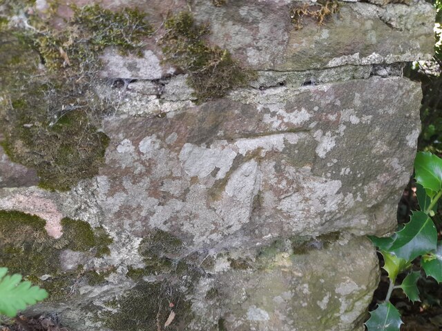
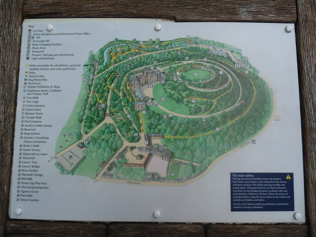
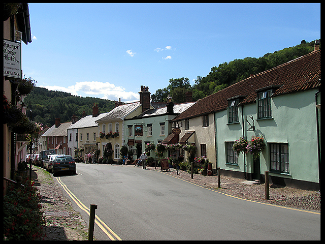
Whits Wood Images
Images are sourced within 2km of 51.17342/-3.4677623 or Grid Reference SS9742. Thanks to Geograph Open Source API. All images are credited.


Whits Wood is located at Grid Ref: SS9742 (Lat: 51.17342, Lng: -3.4677623)
Administrative County: Somerset
District: Somerset West and Taunton
Police Authority: Avon and Somerset
What 3 Words
///shallower.dynasties.dose. Near Minehead, Somerset
Nearby Locations
Related Wikis

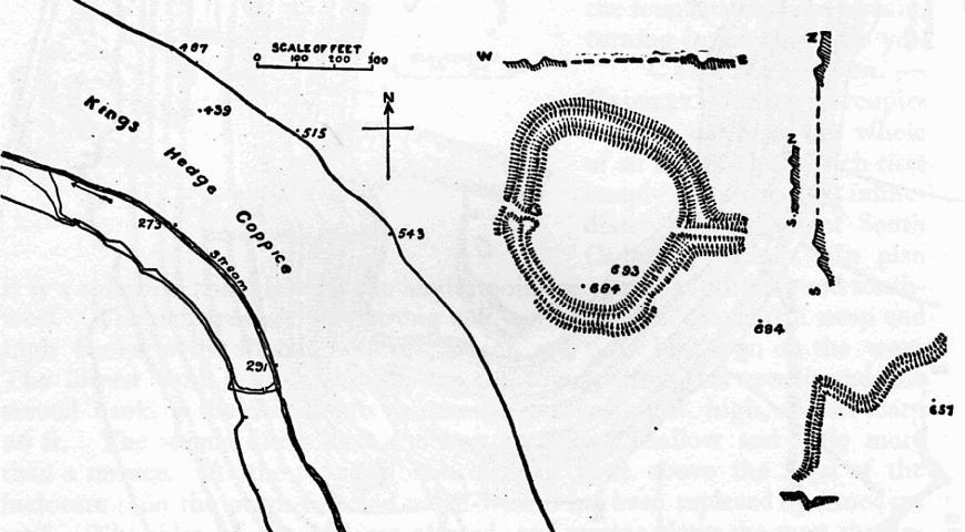
Long Wood Enclosure
Long Wood Enclosure is an enclosure which may have been a univallate Iron Age hill fort, in the West Somerset district of Somerset, England. The hill fort...

Black Ball Camp
Black Ball Camp is an Iron Age hillfort South West of Dunster, Somerset, England on the northern summit of Gallox Hill. It is a Scheduled Monument.It is...
Bat's Castle
Bats Castle is an Iron Age hillfort at the top of a 213 metres (699 ft) high hill in the parish of Carhampton south south west of Dunster in Somerset,...

Grabbist Hillfort
Grabbist Hillfort is an Iron Age oval hillfort or defended enclosure, west of Dunster in Somerset, England. The site is 885.8 feet (270.0 m) long and 219...
Have you been to Whits Wood?
Leave your review of Whits Wood below (or comments, questions and feedback).