Columbjohn Wood

Wood, Forest in Devon East Devon

England

Columbjohn Wood

Killerton : Footpath A footpath around the grounds of Killerton lit up for Christmas.
Killerton : Footpath Credit: Lewis Clarke

Columbjohn Wood is a picturesque forest located in Devon, England. Situated near the village of Wood, this natural wonder covers an area of approximately 200 acres. It is characterized by its dense vegetation, towering trees, and diverse wildlife.

The wood is known for its peaceful and serene atmosphere, making it a popular destination for nature lovers and outdoor enthusiasts. It provides ample opportunities for walking, hiking, and birdwatching, with well-maintained trails weaving through the forest. The scenic beauty of Columbjohn Wood is enhanced by the presence of a small stream that meanders through the trees, adding to the tranquility of the area.

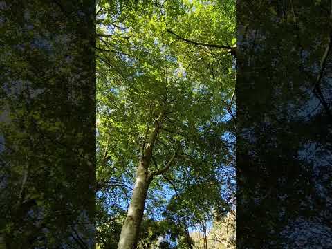
The forest is home to a wide variety of flora and fauna. Ancient oaks, beech, and chestnut trees dominate the landscape, creating a stunning canopy overhead. Bluebells, primroses, and wild garlic adorn the forest floor during the spring season, painting the wood in vibrant colors. The diversity of plant life attracts a range of bird species, including woodpeckers, thrushes, and owls, making it a paradise for birdwatchers.

Columbjohn Wood is not only a haven for wildlife but also a place of historical significance. It is believed to have been part of the ancient woodland that covered much of Devon during the medieval period. The wood has remained relatively untouched over the years, preserving its natural beauty and allowing visitors to experience a glimpse of the past.

Overall, Columbjohn Wood offers a captivating blend of natural beauty, tranquility, and historical significance, making it a must-visit destination for those seeking a peaceful escape in the heart of Devon.

If you have any feedback on the listing, please let us know in the comments section below.

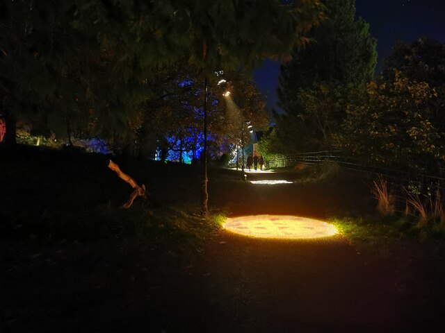
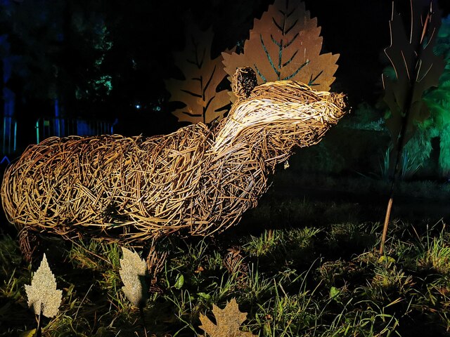
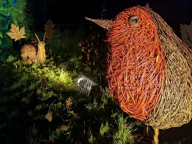
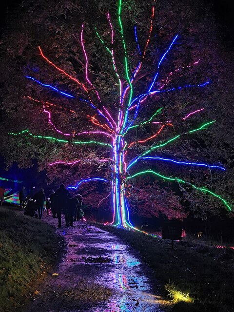
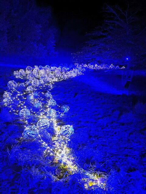
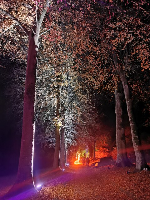
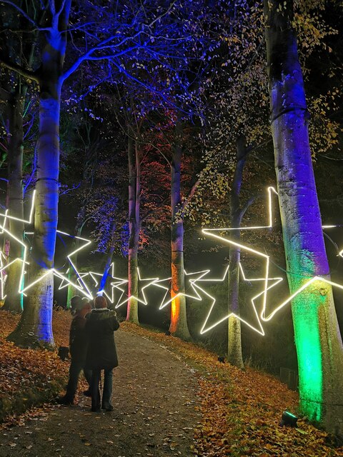
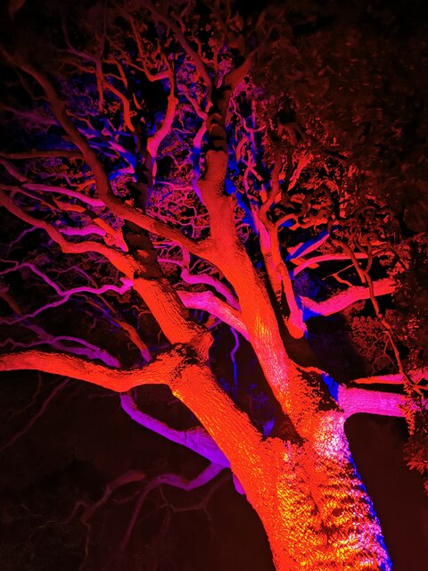
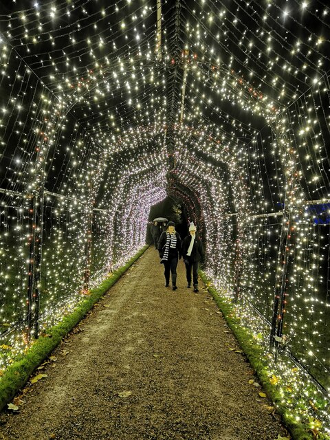
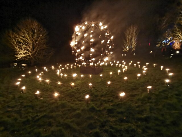
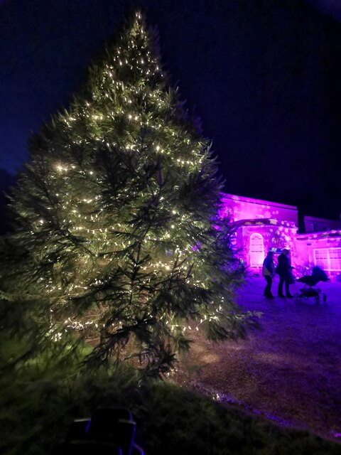
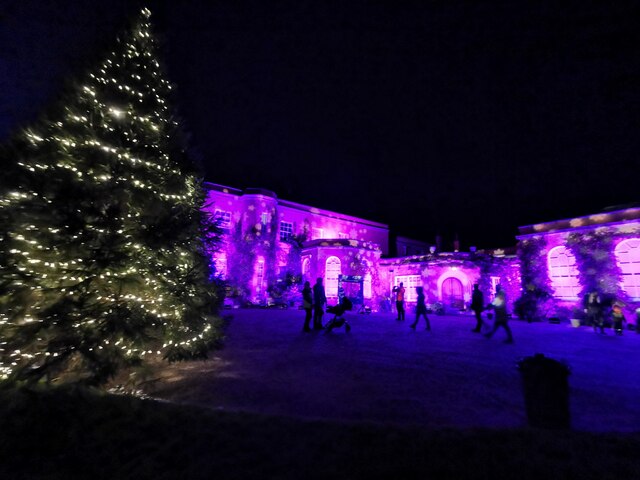
Columbjohn Wood Images

Images are sourced within 2km of 50.794122/-3.4631392 or Grid Reference SS9600. Thanks to Geograph Open Source API. All images are credited.

Killerton : Footpath A footpath around the grounds of Killerton lit up for Christmas.
Killerton : Footpath
A footpath around the grounds of Killerton lit up for Christmas.
Killerton : Willow Badger A willow badger illuminated in the grounds of Killerton.
Killerton : Willow Badger
A willow badger illuminated in the grounds of Killerton.
Killerton : Willow Sculptures A willow robin and snail in the grounds of Killerton.
Killerton : Willow Sculptures
A willow robin and snail in the grounds of Killerton.
Killerton : Footpath Love hearts light up the path.
Killerton : Footpath
Love hearts light up the path.
Killerton : Footpath A footpath heads towards the lit up tree.
Killerton : Footpath
A footpath heads towards the lit up tree.
Killerton : Lights Lights illuminate the hillside.
Killerton : Lights
Lights illuminate the hillside.
Killerton : Footpath The footpath is lit up.
Killerton : Footpath
The footpath is lit up.
Killerton : Footpath Looking along a star studded footpath.
Killerton : Footpath
Looking along a star studded footpath.
Killerton : Tree A light up tree.
Killerton : Tree
A light up tree.
Killerton : Footpath People walking through an illuminated tunnel.
Killerton : Footpath
People walking through an illuminated tunnel.
Killerton : Fire Display A fire display in the grounds of Killerton.
Killerton : Fire Display
A fire display in the grounds of Killerton.
Killerton : Fire Display A fire display in Killerton.
Killerton : Fire Display
A fire display in Killerton.
Killerton : Christmas Tree The Christmas tree is up outside the house.
Killerton : Christmas Tree
The Christmas tree is up outside the house.
Killerton : Killerton House The house is lit up purple for Christmas.
Killerton : Killerton House
The house is lit up purple for Christmas.
Killerton : Footpath A footpath heads up to Killerton House. A light shows a Christmas tree.
Killerton : Footpath
A footpath heads up to Killerton House. A light shows a Christmas tree.
Killerton : The Lodge The Lodge in Killerton, and entrance to the gardens.
Killerton : The Lodge
The Lodge in Killerton, and entrance to the gardens.
Illuminated birch trees at 'Christmas at Killerton' Each Christmas there is an illuminated trail around the grounds.
Illuminated birch trees at 'Christmas at Killerton'
Each Christmas there is an illuminated trail around the grounds.
Illuminated tree at 'Christmas at Killerton' Each Christmas there is an illuminated trail around the grounds.
Illuminated tree at 'Christmas at Killerton'
Each Christmas there is an illuminated trail around the grounds.
Show me another place!

Columbjohn Wood is located at Grid Ref: SS9600 (Lat: 50.794122, Lng: -3.4631392)

Administrative County: Devon

District: East Devon

Police Authority: Devon and Cornwall

What 3 Words

///thin.rational.incorrect. Near Silverton, Devon

Related Wikis

Dolbury

Dolbury is another local name for the Iron Age hill fort or enclosure at Killerton Park in Devon, England. It is referred to as such in several books and...
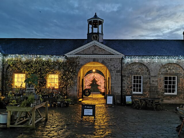
Killerton

Killerton is an 18th-century house in Broadclyst, Exeter, Devon, England, which, with its hillside garden and estate, has been owned by the National Trust...

Beare

Beare is a village in the civil parish of Broadclyst in Devon, England. == References == == External links == Media related to Beare at Wikimedia Commons

Manor of Silverton

The manor of Silverton was an historic manor in the parish of Silverton in Devon. The last version of the manor house was Silverton Park (also called Egremont...

Silverton Park

Silverton Park, also known locally as Egremont House, was a large neoclassical mansion in the parish of Silverton, Devon, England. == History == It was...

Rewe, Devon

Rewe is a village and civil parish in the county of Devon in England. It lies on the river Culm, 5 miles (8 km) north of the city of Exeter and 9 miles...

Silverton, Devon

Silverton is a large village and civil parish, about 8 miles (13 km) north of Exeter, in the English county of Devon. It is one of the oldest villages...

Hele, Devon

Hele is a village in Devon, England, lying about one mile (1.6 km) SSW of Bradninch and 10 miles (16 km) NNE of Exeter, on the River Culm. The village...

Related Videos

Choir and picnic “teaser”

shorts #reels #teaser #promo #jofdestn #sandy #chancyvlogs #chancy #choir #picnic #year1 #nationaltrust #killerton #gardens ...

Choir and picnic

jofdestn #sandy #chancyvlogs #chancy #choir #picnic #year1 #nationaltrust #killerton #gardens #walking #singing #explore ...

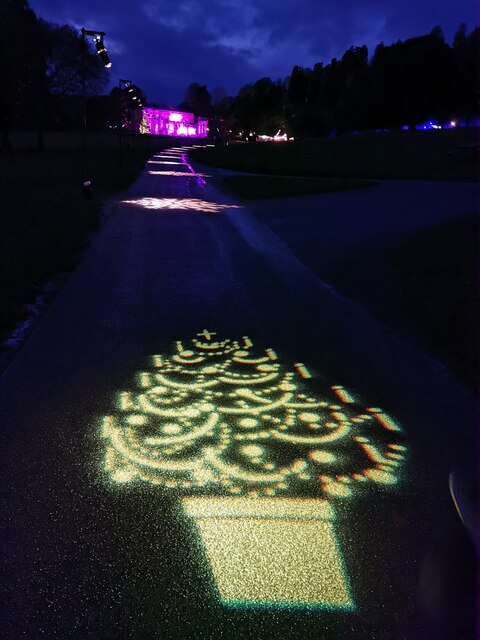
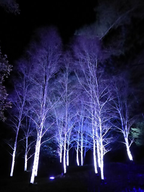
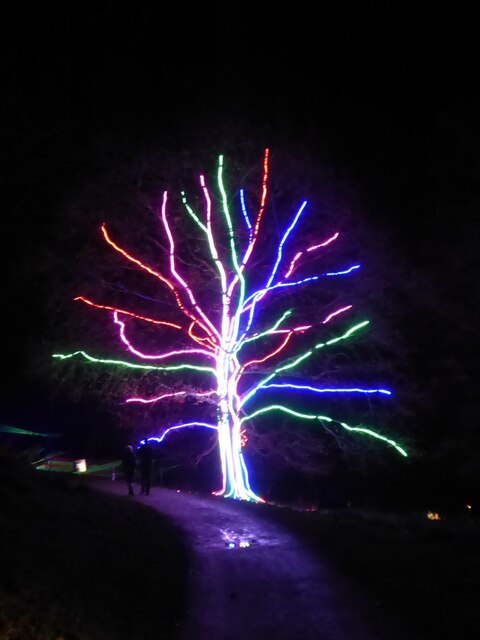
Christmas at Killerton, Devon

Exploring Killerton National Trust property in South West England. #ChristmasAtKillerton 2021 #Devon #nationaltrust #Lighttrail.

Nearby Amenities

Located within 500m of 50.794122,-3.4631392
Barrier: kissing_gate
Lat/Long: 50.7936008/-3.4618548
Barrier: kissing_gate
Width: 1.12
Lat/Long: 50.7936112/-3.4616776
Dolbury Hillfort
HE Ref: 1017192
Archaeological Site: fortification
Description: Iron Age hillfort; scheduled monument.
Fortification Type: hill_fort
Heritage: 2
Heritage Operator: Historic England
Historic: archaeological_site
Historic Period: iron-age
Ruins: yes
Website: https://new.devon.gov.uk/historicenvironment/explore-devons-heritage/dolbury-hillfort/
Wheelchair: no
Wikidata: Q5288888
Wikipedia: en:Dolbury
Lat/Long: 50.7942984/-3.4582785
Bench
Lat/Long: 50.7976391/-3.4627328
Acland Memorial Cross
HE Ref: 1333625
Description: Memorial to Sir Thomas Dyke Acland in the form of a Celtic cross on octagonal base.
Direction: W
Heritage: 2
Heritage Operator: Historic England
Historic: memorial
Image: https://s0.geograph.org.uk/geophotos/04/32/57/4325713_2fee02e0_original.jpg
Listed Status: Grade II
Material: granite_stone
Memorial: cross
Start Date: 1873
Wikidata: Q26618356
Lat/Long: 50.7921874/-3.4618669
The Clump
Ele: 128
Natural: peak
Official Name: Dolbury Hill
Lat/Long: 50.7944836/-3.4571848
Direction: S
Tourism: viewpoint
Lat/Long: 50.7934994/-3.4619636
Information: guidepost
Tourism: information
Lat/Long: 50.7950783/-3.4582942
Historic: cannon
Note: no longer observed June2022
Lat/Long: 50.7911604/-3.457888
Bench
Backrest: yes
Lat/Long: 50.791771/-3.4605309
Historic: pillar
Lat/Long: 50.7919308/-3.4607045
Man Made: adit
Lat/Long: 50.7921376/-3.4609014
Bench
Backrest: yes
Lat/Long: 50.7922615/-3.4617469
Entrance: yes
Lat/Long: 50.7913585/-3.4576115
Entrance: yes
Lat/Long: 50.7911753/-3.4578524
The Lost House
Historic: ruins
Lat/Long: 50.7928056/-3.4653556
Bicycle: no
Foot: permissive
Horse: no
Motor Vehicle: no
Lat/Long: 50.7915961/-3.4689277
Direction: 270
Tourism: viewpoint
Lat/Long: 50.7949107/-3.4616724
Direction: 180
Tourism: viewpoint
Lat/Long: 50.791474/-3.4595025
Barrier: kissing_gate
Width: 0.7
Lat/Long: 50.794708/-3.4593684
Barrier: kissing_gate
Lat/Long: 50.7948767/-3.4563633
Barrier: kissing_gate
Lat/Long: 50.7906056/-3.4614768
Bench
Backrest: no
Lat/Long: 50.794911/-3.4612938
Barrier: full-height_turnstile;gate
Lat/Long: 50.7922894/-3.4574598
Tourism: viewpoint
Lat/Long: 50.7922033/-3.4615865
Direction: 220
Tourism: viewpoint
Lat/Long: 50.7935078/-3.4618901
Direction: 90
Tourism: picnic_site
Lat/Long: 50.7919731/-3.4576542
The data included in this document is from www.openstreetmap.org. The data is made available under ODbL.

Have you been to Columbjohn Wood?

Leave your review of Columbjohn Wood below (or comments, questions and feedback).