Lower Moor Plantation
Wood, Forest in Devon East Devon
England
Lower Moor Plantation
Lower Moor Plantation is a picturesque woodland located in Devon, England. This enchanting forest covers an area of approximately 500 acres and is renowned for its diverse range of plant and animal species. The plantation is situated in the heart of the Devon countryside, surrounded by rolling hills and meandering streams.
The woodland is predominantly made up of native broadleaf trees, such as oak, beech, and ash, which create a dense canopy, providing a haven for wildlife. It is home to a variety of bird species, including the rare lesser spotted woodpecker and the tawny owl. The forest floor is carpeted with a rich tapestry of wildflowers, such as bluebells, primroses, and wood anemones, which bloom in the spring, creating a vibrant display of colors.
Lower Moor Plantation offers visitors a tranquil and serene environment, perfect for walking, hiking, and exploring nature. There are several well-maintained walking trails that wind through the woodland, allowing visitors to immerse themselves in the beauty of the forest. Along these trails, one can discover hidden ponds, babbling brooks, and peaceful glades, providing opportunities for wildlife spotting and birdwatching.
The plantation is managed by a team of conservationists who work tirelessly to preserve the natural beauty of the woodland. They conduct regular surveys to monitor the health and diversity of the flora and fauna, and implement sustainable management practices to ensure the long-term sustainability of the woodland.
Lower Moor Plantation is a true gem of Devon, offering visitors an escape from the hustle and bustle of everyday life and a chance to connect with nature in all its glory.
If you have any feedback on the listing, please let us know in the comments section below.
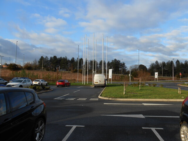
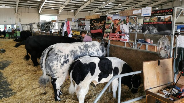
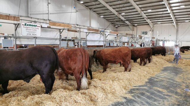
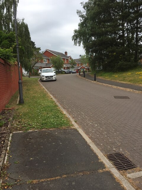
Lower Moor Plantation Images
Images are sourced within 2km of 50.718076/-3.4609676 or Grid Reference SX9691. Thanks to Geograph Open Source API. All images are credited.


Lower Moor Plantation is located at Grid Ref: SX9691 (Lat: 50.718076, Lng: -3.4609676)
Administrative County: Devon
District: East Devon
Police Authority: Devon and Cornwall
What 3 Words
///finds.debate.output. Near Heavitree, Devon
Nearby Locations
Related Wikis

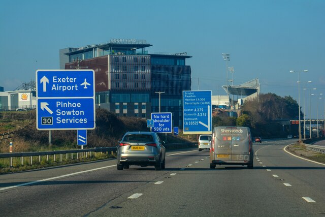
Exeter services
Exeter services is a motorway service station on the M5 motorway in Devon, England. It is situated at junction 30 of the motorway, east of the city of...

Sowton
Sowton is a village and civil parish east of Exeter in East Devon, England. It has a population of 639.Its parish council merged with that of nearby Clyst...
Digby and Sowton railway station
Digby and Sowton railway station is on the Avocet Line in Devon, England. == History == A small station known as Clyst St Mary and Digby Halt was opened...

Sandy Park
Sandy Park is a rugby union stadium and conference and banqueting centre in Exeter, England. It is the home ground of Exeter Chiefs, who from the 2010...
Nearby Amenities
Located within 500m of 50.718076,-3.4609676Have you been to Lower Moor Plantation?
Leave your review of Lower Moor Plantation below (or comments, questions and feedback).