Eastern Wood
Wood, Forest in Somerset Somerset West and Taunton
England
Eastern Wood

Eastern Wood is a lush and expansive forest located in Somerset, England. Covering an area of approximately 100 hectares, it is a significant natural landmark in the region. The forest is predominantly composed of deciduous trees, including oak, beech, and birch, which create a diverse and vibrant ecosystem.
The wood features a mix of ancient woodland and newer plantations, providing a rich habitat for a variety of wildlife. It is home to numerous species of birds, such as woodpeckers, owls, and warblers, which fill the air with their melodic songs. Additionally, the forest provides a sanctuary for mammals like foxes, deer, and badgers, as well as a range of smaller creatures including rabbits, squirrels, and hedgehogs.
Eastern Wood offers visitors a tranquil escape from the hustle and bustle of everyday life. It boasts a network of well-maintained footpaths, allowing visitors to explore the forest at their own pace. The wood's natural beauty is further enhanced by the presence of a small river that meanders through its heart, providing a peaceful spot for picnics or simply enjoying the soothing sound of running water.
The forest also holds historical significance, with evidence of human activity dating back centuries. Remnants of ancient settlements, such as Iron Age hillforts and Roman ruins, can be found scattered throughout the wood, adding an element of intrigue for history enthusiasts.
Overall, Eastern Wood is a captivating destination for nature lovers, offering a harmonious blend of flora, fauna, and history.
If you have any feedback on the listing, please let us know in the comments section below.
Eastern Wood Images
Images are sourced within 2km of 51.056659/-3.4748824 or Grid Reference SS9629. Thanks to Geograph Open Source API. All images are credited.


Eastern Wood is located at Grid Ref: SS9629 (Lat: 51.056659, Lng: -3.4748824)
Administrative County: Somerset
District: Somerset West and Taunton
Police Authority: Avon and Somerset
What 3 Words
///grand.fabricate.revised. Near Dulverton, Somerset
Nearby Locations
Related Wikis

Haddon Hill
Haddon Hill is a prominent east–west aligned ridge in west Somerset, England, close to Hartford within the civil parish of Brompton Regis. It lies on the...
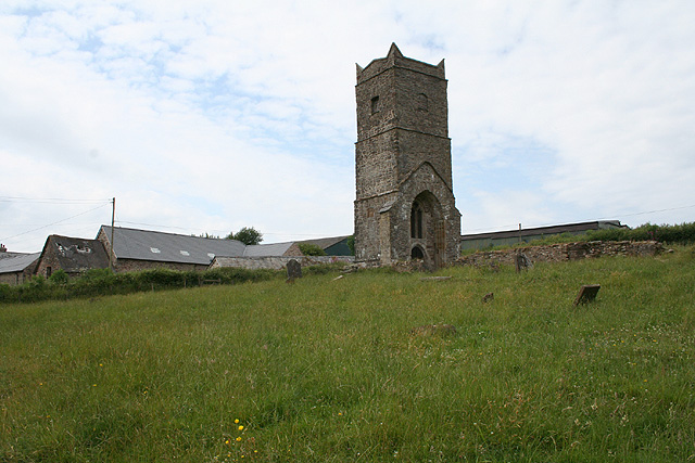
Old Church of St James, Upton
The Old St James's Church is a former church in the village of Upton, Somerset, England, of which only the tower remains, overlooking Wimbleball Lake....
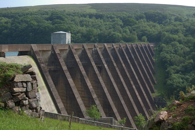
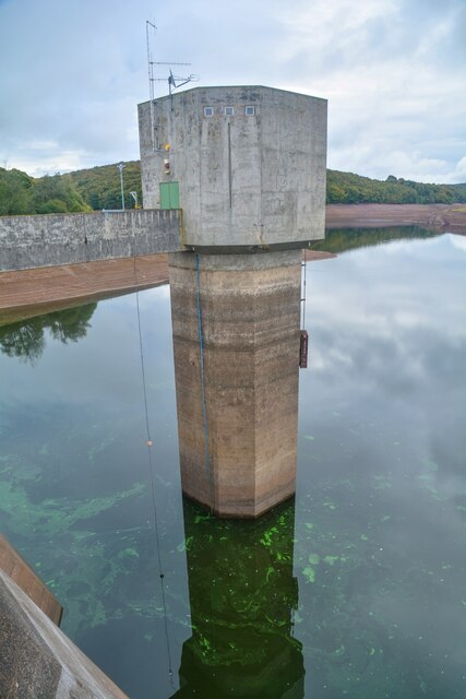
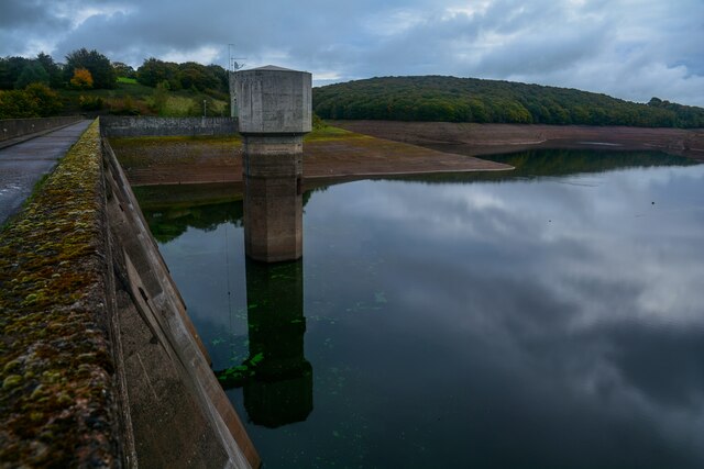
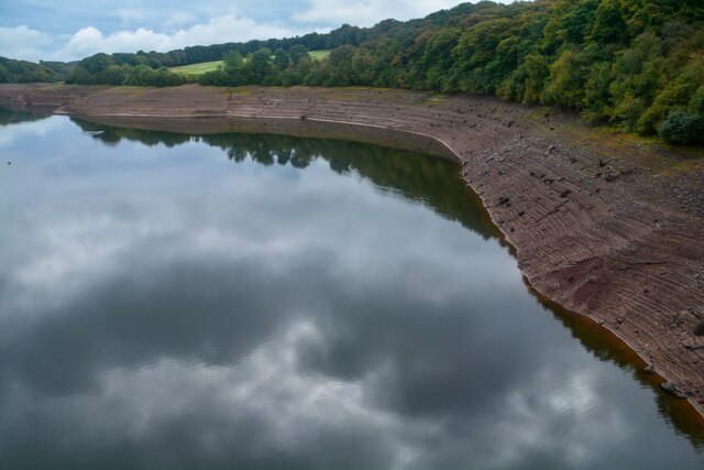
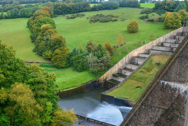
Wimbleball Lake
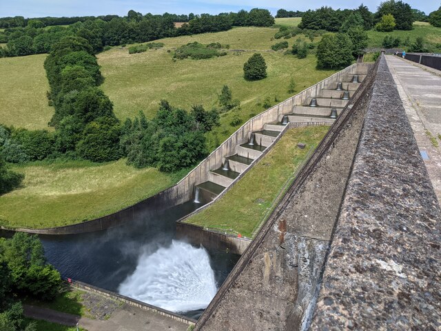
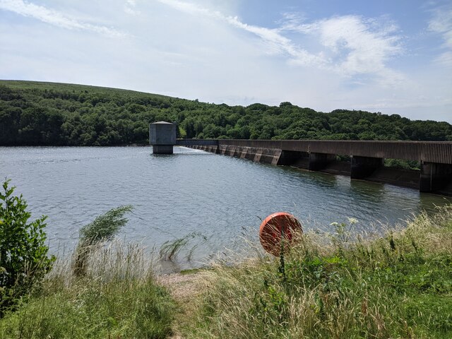
Wimbleball Lake on Exmoor in Somerset, England, is a water supply reservoir constructed in the 1970s and completed in 1979. The 161 feet (49 m) high dam...

Brompton Regis
Brompton Regis (formerly known as Kingsbrompton) is a village and civil parish in the Somerset West and Taunton district of Somerset, England about 5 miles...

Church of St Mary, Brompton Regis
The Anglican Church of St Mary in Brompton Regis, Somerset, England was built in the 13th century. It is a Grade II* listed building. == History == The...

Upton, Somerset
Upton is a village and civil parish north of Skilgate in Somerset, England. It is situated on a hill above the eastern end of Wimbleball Lake. == History... ==

Skilgate
Skilgate is a village and civil parish 5 miles (8 km) east of Dulverton and 8 miles (13 km) west of Wiveliscombe in the Somerset West and Taunton district...
Church of St John, Skilgate
The Anglican Church of St John in Skilgate, Somerset, England was built in the 14th century. It is a Grade II* listed building. == History == The church...
Nearby Amenities
Located within 500m of 51.056659,-3.4748824Have you been to Eastern Wood?
Leave your review of Eastern Wood below (or comments, questions and feedback).