Clark's Green
Settlement in Surrey Mole Valley
England
Clark's Green
Clark's Green is a small village located in the county of Surrey, England. Situated in the southeastern part of the county, Clark's Green is surrounded by picturesque countryside and is known for its tranquil atmosphere and natural beauty. The village is part of the local government district of Guildford.
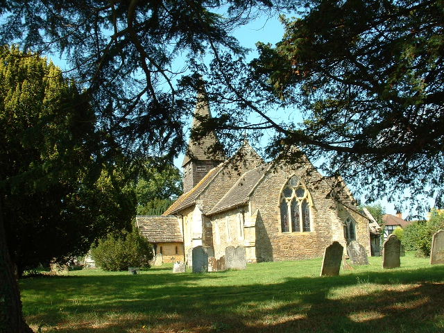
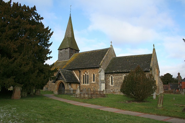
Despite its small size, Clark's Green has a rich history that can be traced back several centuries. The village features a number of historical buildings, including St. Mary's Church, which dates back to the 12th century. This charming church is a focal point of the community and holds regular services for the local residents.
The village is predominantly residential, with a close-knit community that values its rural setting and close proximity to nature. The surrounding countryside offers plenty of opportunities for outdoor activities, such as hiking, cycling, and horseback riding. The village is also home to several small businesses, including a local pub and a few independent shops.
Clark's Green benefits from good transport links, with the nearby A3 road providing easy access to the city of Guildford, located approximately five miles to the north. Guildford offers a wider range of amenities, including shopping centers, entertainment venues, and schools.
Overall, Clark's Green is a charming village that offers a peaceful and idyllic lifestyle, making it an attractive place to live for those seeking a rural retreat within easy reach of urban amenities.
If you have any feedback on the listing, please let us know in the comments section below.
Clark's Green Images
Images are sourced within 2km of 51.138326/-0.3290116 or Grid Reference TQ1739. Thanks to Geograph Open Source API. All images are credited.


Clark's Green is located at Grid Ref: TQ1739 (Lat: 51.138326, Lng: -0.3290116)
Administrative County: Surrey
District: Mole Valley
Police Authority: Surrey
What 3 Words
///crate.things.hints. Near Capel, Surrey
Nearby Locations
Related Wikis

Auclaye
Auclaye is a 0.6-hectare (1.5-acre) geological Site of Special Scientific Interest south of Capel in Surrey. It is a Geological Conservation Review site...

Clock House Brickworks
Clock House Brickworks is a 35.9-hectare (89-acre) geological Site of Special Scientific Interest south of Capel in Surrey. It is a Geological Conservation...

Shiremark Mill, Capel
Shiremark Mill, also known as Kingsfold Mill or Capel Mill was a listed Smock mill at Capel, Surrey, England, which was burnt down in 1972. == History... ==

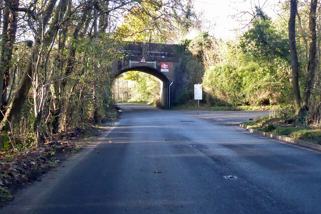
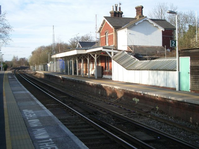
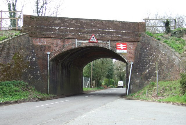
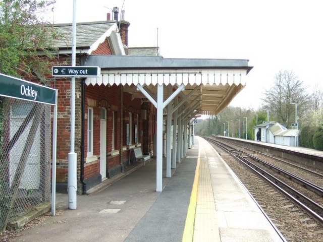
Ockley railway station
Ockley railway station serves the villages of Ockley and Capel in Surrey, England and is 1.4 miles (2.3 km) from Ockley village and 0.5 miles (0.80 km...

Vann Lake and Ockley Woods
Vann Lake and Ockley Woods is a 57.8-hectare (143-acre) biological Site of Special Scientific Interest south of Ockley in Surrey. Vann Lake is part of...
Capel, Surrey
Capel () is a village and civil parish in southern Surrey, England. It is equidistant between Dorking and Horsham – about 5 miles (8.0 km) away. Around...

Ockley
Ockley is a rural village in Surrey. It lies astride the A29, the modern road using the alignment of Stane Street (Chichester). The A29 diverges from the...

Warnham SSSI
Warnham SSSI is a 28.5-hectare (70-acre) geological Site of Special Scientific Interest north of Horsham in West Sussex. It is a Geological Conservation...
Nearby Amenities
Located within 500m of 51.138326,-0.3290116Have you been to Clark's Green?
Leave your review of Clark's Green below (or comments, questions and feedback).