Collyhill Wood

Wood, Forest in Somerset Somerset West and Taunton

England

Collyhill Wood

Langham Hill Pit foundations This was an iron ore mine and this pit was sunk in 1865-66 and a second hand rotative beam pumping and winding engine was brought over from South Wales. This had a 25" cylinder. It was later moved to Burrow Farm were it was installed in 1879. These foundations were excavated in 1995 and include the engine house, boiler house for two boiler, chimney base and flywheel pit. The shaft is nearby and fenced off.
Langham Hill Pit foundations Credit: Chris Allen

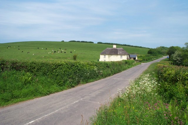
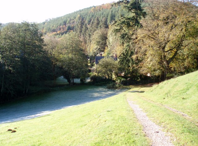
Collyhill Wood is a picturesque woodland located in Somerset, England. Covering an area of approximately 100 acres, it is nestled in the beautiful countryside, offering visitors a tranquil escape from the hustle and bustle of daily life. The wood is situated near the village of Collyhill, which is known for its charming rural atmosphere.

The woodland is predominantly composed of native broadleaf trees such as oak, beech, and ash, creating a diverse and vibrant ecosystem. The dense canopy provides a haven for a variety of wildlife, including birds, squirrels, and deer. Nature enthusiasts will find ample opportunities for birdwatching and wildlife spotting.

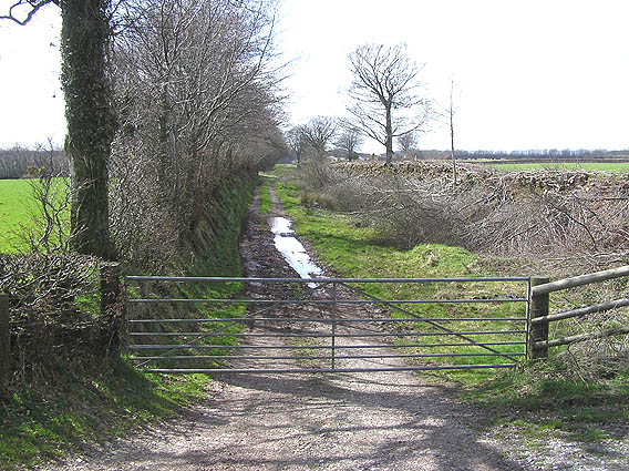
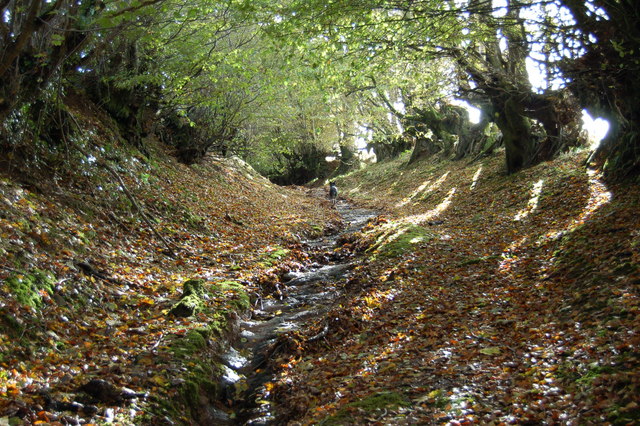
Collyhill Wood is crisscrossed by a network of well-maintained footpaths, allowing visitors to explore the area at their leisure. The paths wind through the woodland, offering stunning views of the surrounding countryside. Along the way, walkers can discover hidden glades, babbling brooks, and ancient trees, giving the wood an enchanting and magical ambiance.

The wood is a popular destination for outdoor activities such as hiking, cycling, and picnicking. Families often visit to enjoy the peaceful atmosphere and let their children run free in the natural playground. The wood is also a fantastic spot for nature photography, with its ever-changing scenery and abundant wildlife.

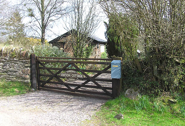
Collyhill Wood is easily accessible, with ample parking available nearby. It provides a perfect opportunity to connect with nature and enjoy the tranquility of the Somerset countryside.

If you have any feedback on the listing, please let us know in the comments section below.

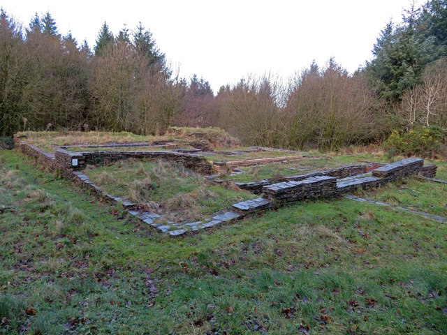
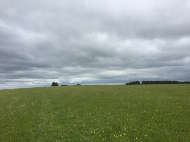
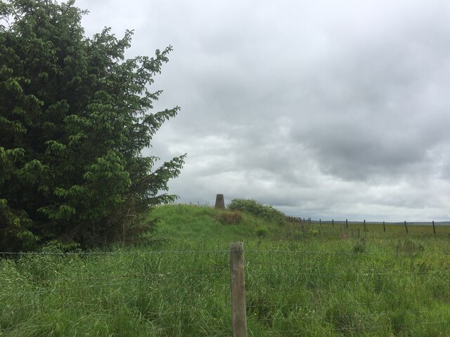
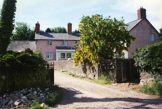
Collyhill Wood Images

Images are sourced within 2km of 51.118835/-3.4784051 or Grid Reference SS9636. Thanks to Geograph Open Source API. All images are credited.

Langham Hill Pit foundations This was an iron ore mine and this pit was sunk in 1865-66 and a second hand rotative beam pumping and winding engine was brought over from South Wales. This had a 25" cylinder. It was later moved to Burrow Farm were it was installed in 1879. These foundations were excavated in 1995 and include the engine house, boiler house for two boiler, chimney base and flywheel pit. The shaft is nearby and fenced off.
Langham Hill Pit foundations
This was an iron ore mine and this pit was sunk in 1865-66 and a second hand rotative beam pumping and winding engine was brought over from South Wales. This had a 25" cylinder. It was later moved to Burrow Farm were it was installed in 1879. These foundations were excavated in 1995 and include the engine house, boiler house for two boiler, chimney base and flywheel pit. The shaft is nearby and fenced off.
Bearland Wood Iron Mine ventilation furnace chimney This is a Scheduled Ancient Monument and was used to ventilate underground iron mine workings by means of a furnace. The chimney was built c1860 but mining had ceased in the area by 1883.
Bearland Wood Iron Mine ventilation furnace chimney
This is a Scheduled Ancient Monument and was used to ventilate underground iron mine workings by means of a furnace. The chimney was built c1860 but mining had ceased in the area by 1883.
View towards Lype Hill Trig Point
Lype Hill Trig Point Flush Bracket S3930
Brompton Regis: Gupworthy Farm Nearby are old workings for iron ore as is the site of the terminus of the West Somerset Mineral Railway – both at SS966353. Below the farm a barn retained an overshot waterwheel in 1996; it was said to be powered by the water from a mine adit, channelled in a leat
Brompton Regis: Gupworthy Farm
Nearby are old workings for iron ore as is the site of the terminus of the West Somerset Mineral Railway – both at SS966353. Below the farm a barn retained an overshot waterwheel in 1996; it was said to be powered by the water from a mine adit, channelled in a leat
Old trackbed of the West Somerset Mineral Railway The sunken trackbed of the old Mineral Railway that was lifted nearly one hundred years ago. We are looking west towards the old terminus at Gupworthy, app one mile away.
Old trackbed of the West Somerset Mineral Railway
The sunken trackbed of the old Mineral Railway that was lifted nearly one hundred years ago. We are looking west towards the old terminus at Gupworthy, app one mile away.
Gupworthy "Terminus" The old station buildings of what was the western end of the old Mineral Railway are now in private hands, but the sign on the gate refers to Gupworthy Terminus!
Gupworthy "Terminus"
The old station buildings of what was the western end of the old Mineral Railway are now in private hands, but the sign on the gate refers to Gupworthy Terminus!
St. Mary's Church Luxborough This unusual little church has an elevated position just above the part of Luxborough known as Churchtown.
St. Mary's Church Luxborough
This unusual little church has an elevated position just above the part of Luxborough known as Churchtown.
View across the Valley Taken on a drizzly spring day, the solitary house in the bottom of the valley is on the lane to Chargot House.
View across the Valley
Taken on a drizzly spring day, the solitary house in the bottom of the valley is on the lane to Chargot House.
Cottage north of Lype Hill On the road down to Timberscombe from Lype Hill
Cottage north of Lype Hill
On the road down to Timberscombe from Lype Hill
Telecoms Tower at Lype Common This massive tower dominates the skyline along the B3224 on the Brendon Hills. It is sited at one of the highest points, 400 metres above sea level.
Telecoms Tower at Lype Common
This massive tower dominates the skyline along the B3224 on the Brendon Hills. It is sited at one of the highest points, 400 metres above sea level.
Part of The Samaritans Way (South West) Torrential rain had recently washed away the thin layer of soil to expose the bedrock down the centre of this old and little-used bridleway.
Part of The Samaritans Way (South West)
Torrential rain had recently washed away the thin layer of soil to expose the bedrock down the centre of this old and little-used bridleway.
Churchtown viewed from Samaritans Way Churchtown, with it historic church, is one of the three hamlets which make up the Parish of Luxborough.
Churchtown viewed from Samaritans Way
Churchtown, with it historic church, is one of the three hamlets which make up the Parish of Luxborough.
Collyhill Wood From the footpath to Kennisham Hill.
Collyhill Wood
From the footpath to Kennisham Hill.
Ground frost and autumn sunshine Chargot Wood in the background.
Ground frost and autumn sunshine
Chargot Wood in the background.
House at the edge of Chargot Wood
Track near Gupworthy Farm
Bridleway to Leigh Farm This is the entrance to a well-maintained track and bridleway. Leigh Farm is quite a way down this track in the SS9633 gridsquare and is actually on a track which leaves the course of the bridleway after about a kilometre.
Bridleway to Leigh Farm
This is the entrance to a well-maintained track and bridleway. Leigh Farm is quite a way down this track in the SS9633 gridsquare and is actually on a track which leaves the course of the bridleway after about a kilometre.
Show me another place!

Collyhill Wood is located at Grid Ref: SS9636 (Lat: 51.118835, Lng: -3.4784051)

Administrative County: Somerset

District: Somerset West and Taunton

Police Authority: Avon and Somerset

What 3 Words

///mended.blogs.portable. Near Minehead, Somerset

Related Wikis

Gupworthy railway station

Gupworthy (sometimes referred to as "Goosemoor") was originally intended as an intermediate station on the West Somerset Mineral Railway (WSMR), but neither...

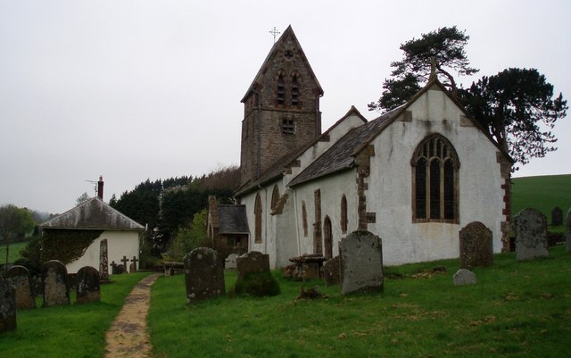
St Mary's Church, Luxborough

The Anglican St Mary's Church at Luxborough within the English county of Somerset dates from the 13th century. It is a Grade II listed building.The chancel...
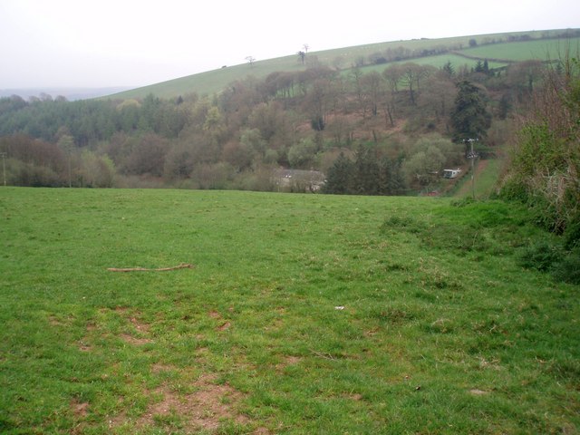
Brendon Hills

The Brendon Hills are a range of hills in west Somerset, England. The hills merge level into the eastern side of Exmoor and are included within the Exmoor...

Luxborough

Luxborough is a small village and civil parish located some 6 miles (9.7 km) south of Dunster, lying amongst the Brendon Hills and the Exmoor National...

Luxborough Road railway station

Luxborough Road (sometimes referred to as "Langham" or "Langham Hill") was an intermediate station on the West Somerset Mineral Railway (WSMR), which was...

Church of St Mary Magdalene, Withiel Florey

The Anglican Church of St Mary Magdalene in Withiel Florey, Somerset, England was built in the 12th century. It is a Grade II* listed building. == History... ==

Rodhuish Common

Rodhuish Common is a univallate Iron Age hill fort in the West Somerset district of Somerset, England. There is a small oval enclosure which is thought...

Church of St John, Cutcombe

The Anglican Church of St John in Cutcombe, Somerset, England was built in the 13th and 14th centuries. It is a Grade II* listed building. == History... ==

Nearby Amenities

Located within 500m of 51.118835,-3.4784051
Kennisham Hill
Place: locality
Lat/Long: 51.1158504/-3.4832573
The data included in this document is from www.openstreetmap.org. The data is made available under ODbL.

Have you been to Collyhill Wood?

Leave your review of Collyhill Wood below (or comments, questions and feedback).