Clareston
Settlement in Pembrokeshire
Wales
Clareston

Clareston is a small village located in the county of Pembrokeshire, Wales. Situated approximately 3 miles south of the town of Pembroke, it lies on the eastern bank of the Cleddau estuary.
The village is surrounded by beautiful countryside, with rolling hills and farmland providing a picturesque backdrop. The nearby river offers opportunities for boating and fishing, attracting outdoor enthusiasts and nature lovers alike.
Clareston itself is a quiet and close-knit community, with a population of around 300 residents. It is primarily a residential area, with a mix of traditional Welsh cottages and modern houses. The village retains a charming and peaceful atmosphere, making it an ideal place for those seeking a tranquil lifestyle.
Although small in size, Clareston has a strong sense of community spirit, with various events and activities organized throughout the year. The village hall is a hub for social gatherings, hosting everything from local concerts to craft fairs.
For amenities, residents can easily access nearby Pembroke, which offers a wider range of shops, supermarkets, and services. The town is also known for its historic castle, Pembroke Castle, which attracts tourists from far and wide.
Overall, Clareston provides a quiet and idyllic place to live, surrounded by natural beauty and a welcoming community. Its proximity to Pembroke ensures residents have access to essential amenities while still enjoying a peaceful rural lifestyle.
If you have any feedback on the listing, please let us know in the comments section below.
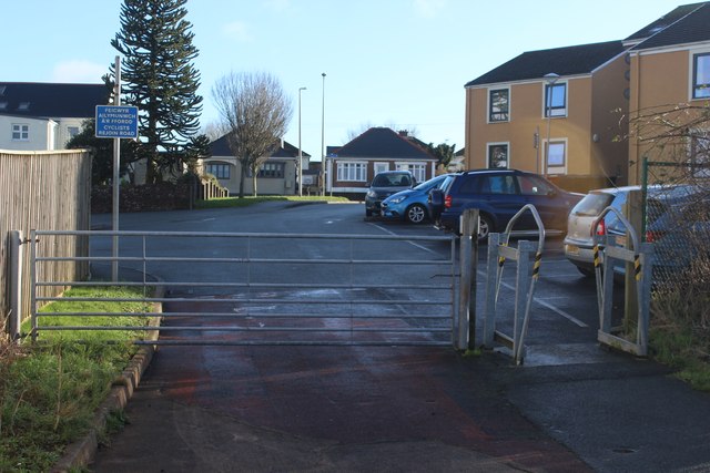
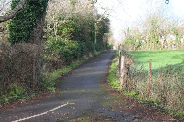
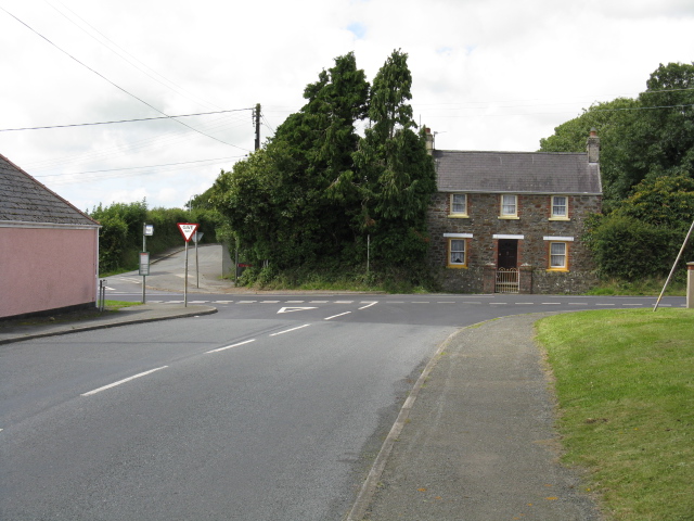
Clareston Images
Images are sourced within 2km of 51.751085/-4.9713194 or Grid Reference SM9510. Thanks to Geograph Open Source API. All images are credited.


Clareston is located at Grid Ref: SM9510 (Lat: 51.751085, Lng: -4.9713194)
Unitary Authority: Pembrokeshire
Police Authority: Dyfed Powys
What 3 Words
///pulp.golden.shadow. Near Freystrop, Pembrokeshire
Nearby Locations
Related Wikis

Benton Fault
The Benton Fault is a geological fault in southern Pembrokeshire in Wales that was active as a normal fault during the deposition of the Old Red Sandstone...
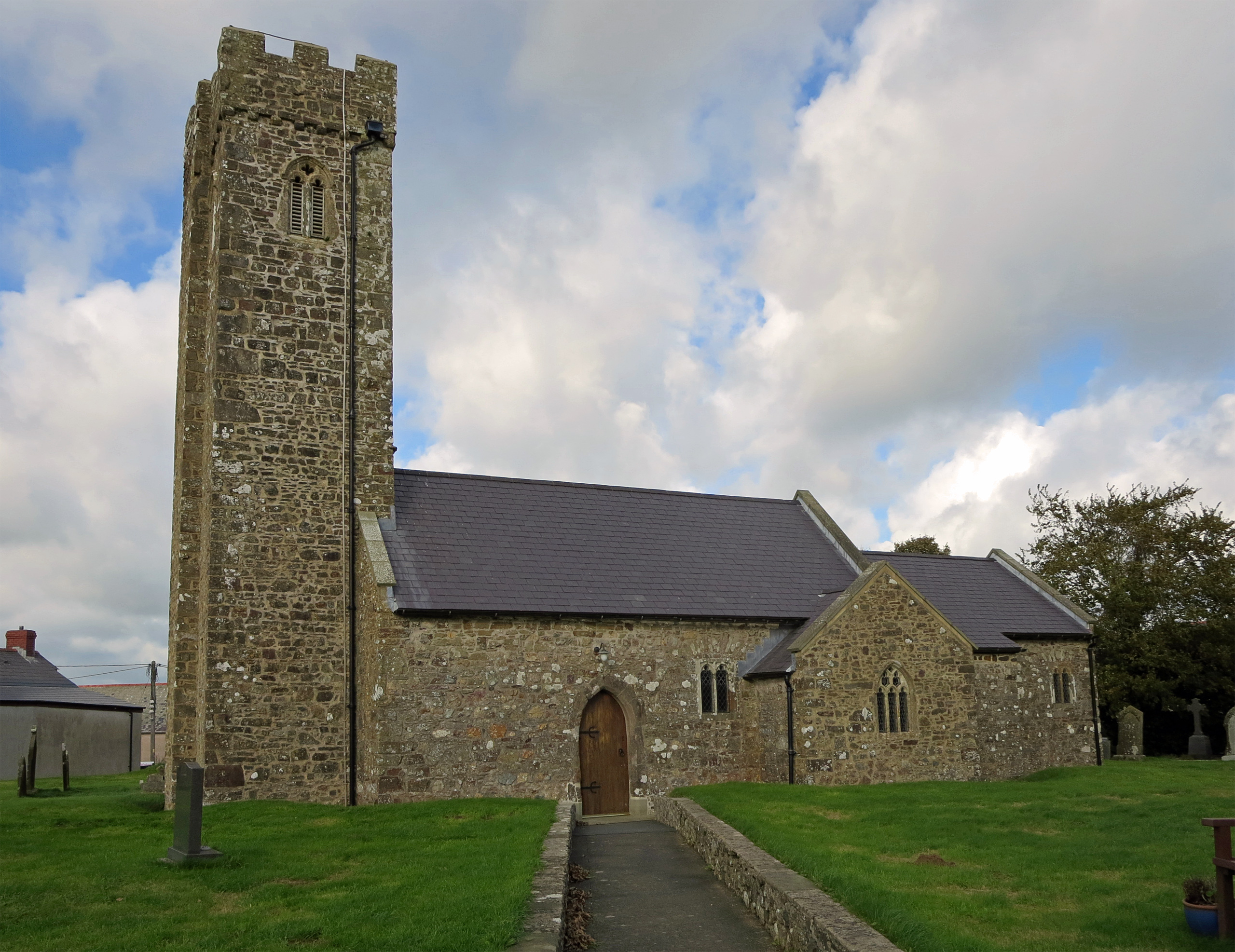
Freystrop
Freystrop is a village, parish and community in Pembrokeshire, Wales, 2 miles (3.2 km) southeast of Haverfordwest. == References == == External links... ==
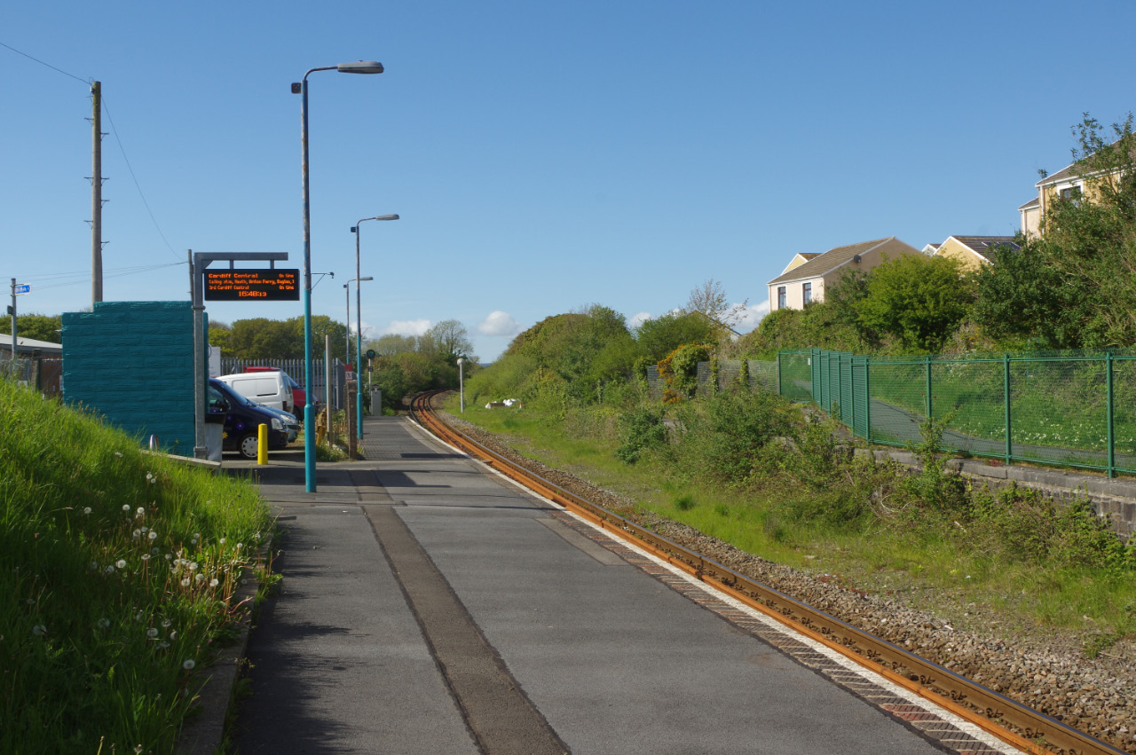
Johnston railway station
Johnston railway station is an unstaffed railway station in the village of Johnston in Pembrokeshire, Wales. It opened in 1856 as part of the final section...
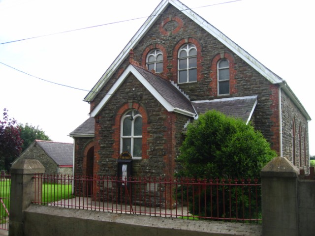
Johnston, Pembrokeshire
Johnston is a village, parish and community in the former hundred of Roose, Pembrokeshire, Wales, and a parish in the diocese of Diocese of St David's...

A4076 road
The A4076 is a 9 miles (14 km) long, primary trunk road in Pembrokeshire, Wales. The A4076 begins at the Salutation Square roundabout junction with the...
Rosemarket
Rosemarket is a village, parish and community in Pembrokeshire, Wales, north of Milford Haven. == Name == The name does not refer to flowers but to the...
Sardis, south Pembrokeshire
Sardis (also known as Sardis Cross) is a small village in the community and parish of Burton, Pembrokeshire, Wales 1 mile (2 km) east of Rosemarket....
Hook Wood
Hook Wood is a Site of Special Scientific Interest (or SSSI) in Pembrokeshire, South Wales. In 1603 George Owen described Hook Wood as one of “the best...
Related Videos

Little Milford Woods Trail Run - Haverfordwest - Pembrokeshire - Wales
Made a decision on the weekend that I needed to get my running going again after a pretty lengthy lay off, I've only ran 29 miles ...
Johnston to Milford Haven in Daylight
My first recorded video of me driving my Peugeot Partner Combi - Quicksilver edition - from Johnston in Pembrokeshire via the ...

Catch up- Sunday Worship Together 30.05.21
Join us as we worship God together live from Emmanuel. Today we are thinking about the amazing destination that awaits all who ...

Nearby Amenities
Located within 500m of 51.751085,-4.9713194Have you been to Clareston?
Leave your review of Clareston below (or comments, questions and feedback).