Lower Coombeland Copse
Wood, Forest in Devon Mid Devon
England
Lower Coombeland Copse
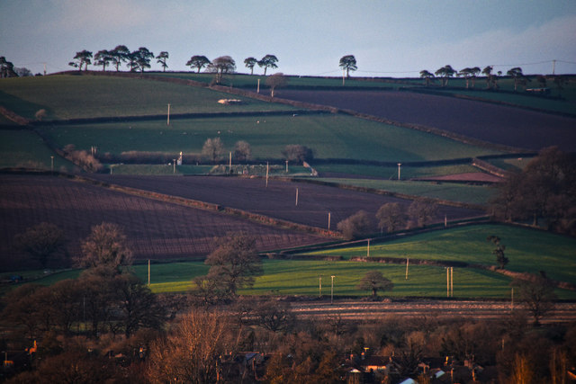
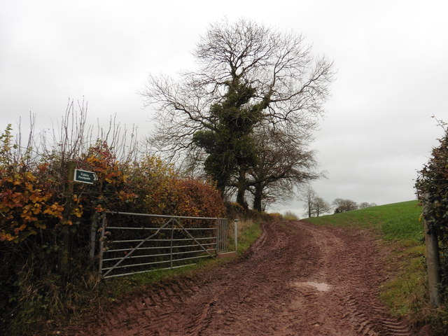
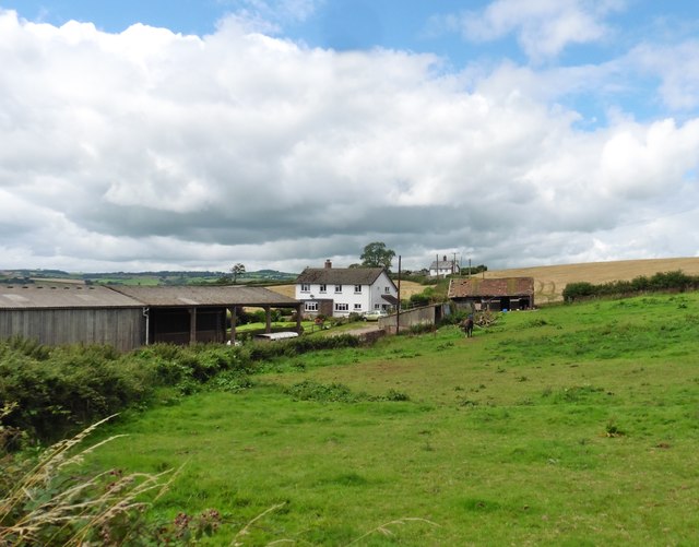
Lower Coombeland Copse is a picturesque woodland located in the county of Devon, England. It covers an expansive area of approximately 100 acres and is nestled in the heart of the Devonshire countryside. The copse is part of a larger forested area, known for its diverse range of flora and fauna.
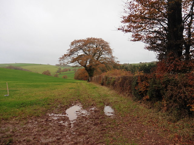
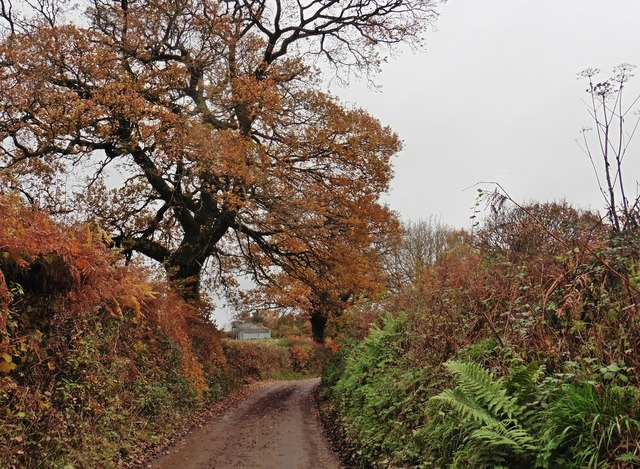
The woodland is characterized by its dense canopy of towering trees, predominantly consisting of oak, beech, and ash. These majestic trees provide a serene and tranquil atmosphere, making it a popular destination for nature enthusiasts and walkers alike. The forest floor is adorned with a rich carpet of bluebells during the spring season, creating a breathtaking sight for visitors.
Lower Coombeland Copse is also home to a diverse range of wildlife. It provides a sanctuary for numerous bird species, including woodpeckers, owls, and various songbirds. Mammals such as deer, foxes, and badgers can also be spotted within the copse, adding to its natural charm.
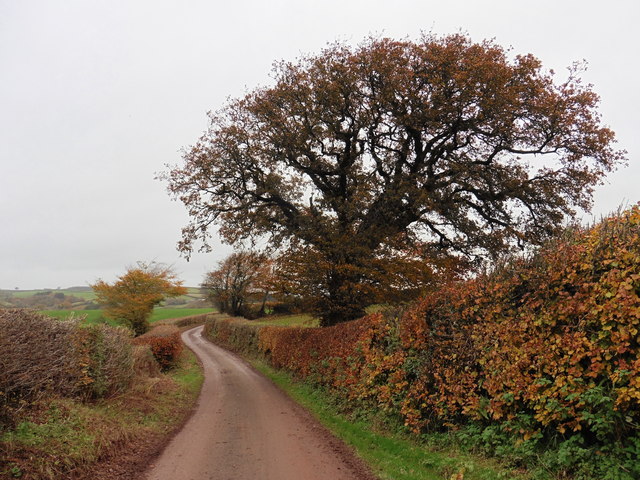
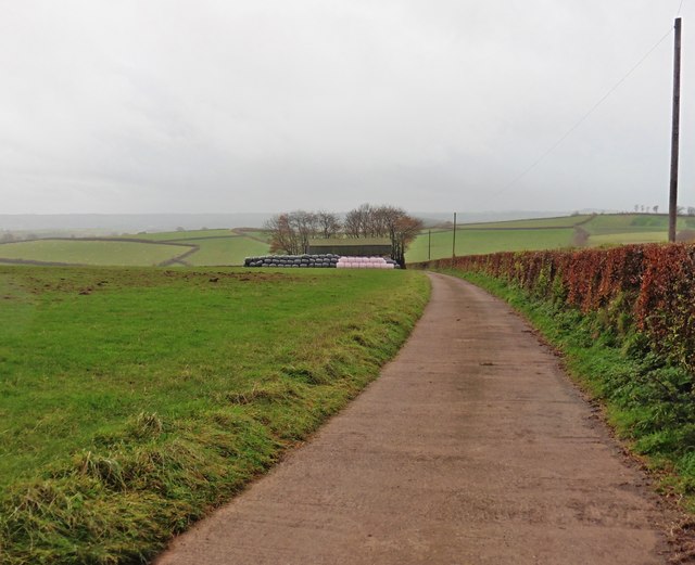
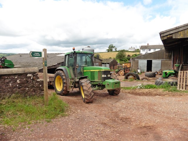
The woodland is crisscrossed by a network of footpaths and trails, enabling visitors to explore its beauty at their leisure. These paths meander through the trees, offering glimpses of stunning vistas and secluded spots for relaxation.
Lower Coombeland Copse is easily accessible and is equipped with ample parking facilities. It is managed and maintained by the local authorities, ensuring the preservation of its natural beauty for future generations to enjoy. Whether it is for a leisurely stroll, birdwatching, or simply immersing oneself in nature, Lower Coombeland Copse offers a tranquil retreat away from the hustle and bustle of everyday life.
If you have any feedback on the listing, please let us know in the comments section below.
Lower Coombeland Copse Images
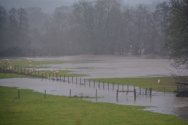
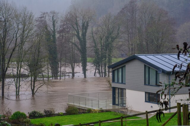
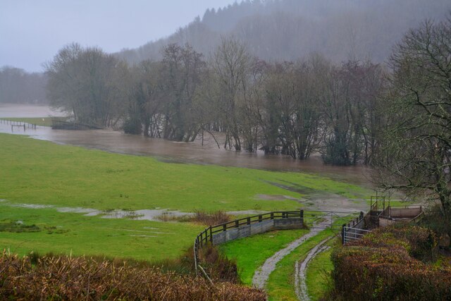
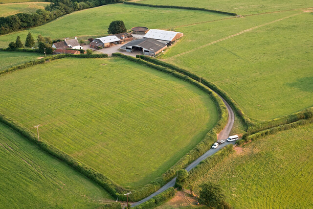
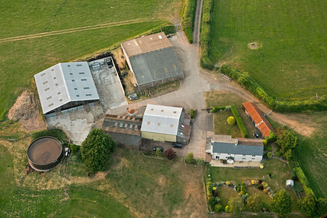
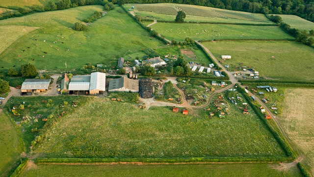
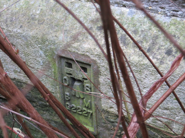
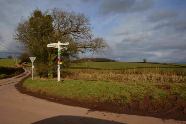
Images are sourced within 2km of 50.950888/-3.47892 or Grid Reference SS9617. Thanks to Geograph Open Source API. All images are credited.
Lower Coombeland Copse is located at Grid Ref: SS9617 (Lat: 50.950888, Lng: -3.47892)
Administrative County: Devon
District: Mid Devon
Police Authority: Devon and Cornwall
What 3 Words
///mailer.taxi.testy. Near Tiverton, Devon
Nearby Locations
Related Wikis

Cove, Devon
Cove is a small village in the county of Devon, England. It is 4 miles north of Tiverton and 2 miles from Bampton in the Exe Valley some 450 feet above...

Knightshayes Court
Knightshayes Court is a Victorian country house near Tiverton, Devon, England, designed by William Burges for the Heathcoat-Amory family. Nikolaus Pevsner...

Castle Close
Castle Close is a circular earthwork located near Stoodleigh in Mid Devon, England at OS grid reference SS937181. It is described on maps as a settlement...

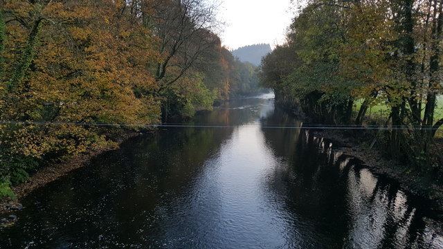
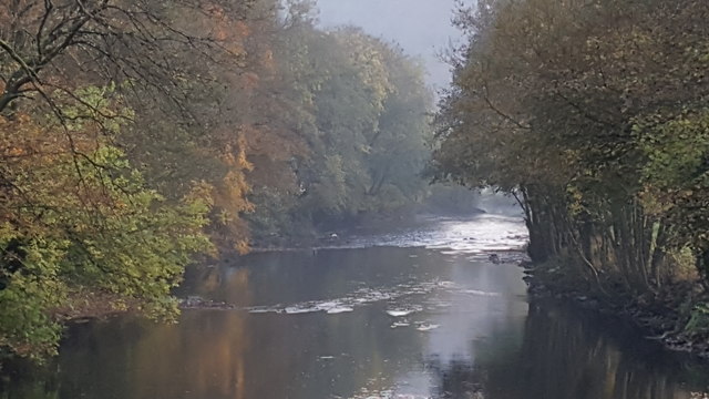
River Batherm
The River Batherm is a river which flows through Somerset and Devon in England. The river rises on high ground near the village of Sperry Barton, between...
Nearby Amenities
Located within 500m of 50.950888,-3.47892Have you been to Lower Coombeland Copse?
Leave your review of Lower Coombeland Copse below (or comments, questions and feedback).