Clarencefield
Settlement in Dumfriesshire
Scotland
Clarencefield

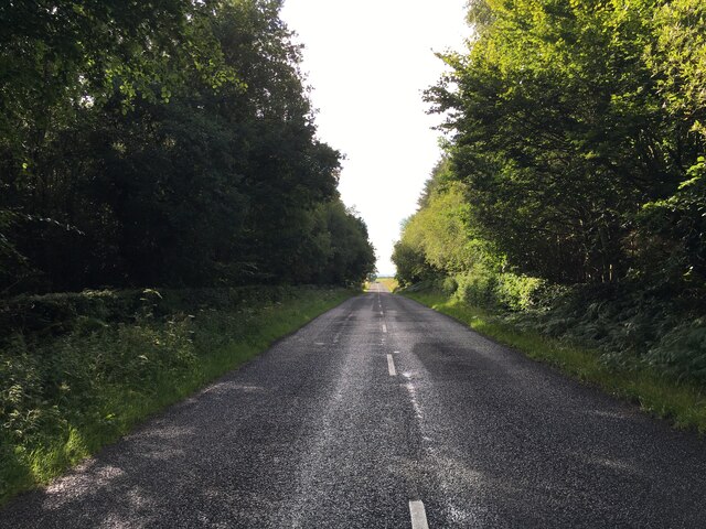
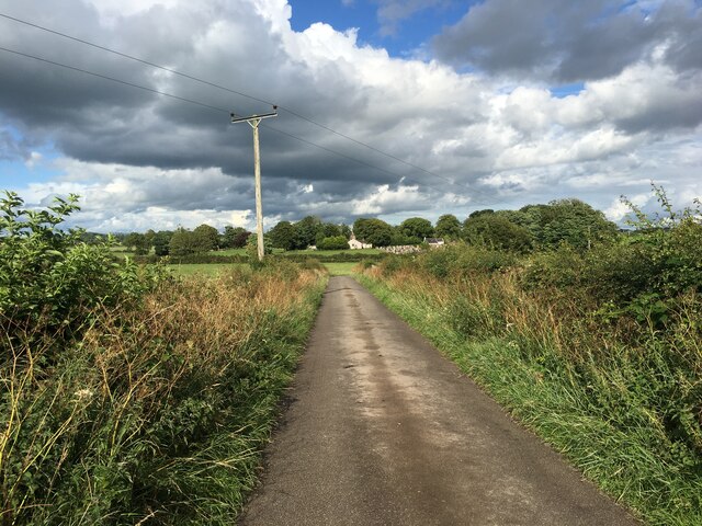
Clarencefield is a small rural village located in the Dumfriesshire region of Scotland. Situated approximately 7 miles southwest of Dumfries, the village is nestled in a picturesque countryside setting.
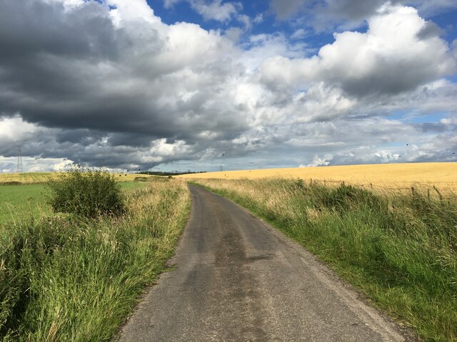
With a population of around 500 residents, Clarencefield exudes a tranquil and tight-knit community feel. The village is primarily residential, consisting of a mix of traditional stone houses and newer developments. Its charming atmosphere is enhanced by the surrounding rolling hills and farmland.
The village has limited amenities, including a local pub and a community hall, which serves as a venue for various events and gatherings. However, for more extensive shopping and leisure activities, residents typically travel to Dumfries, which offers a wider range of services.
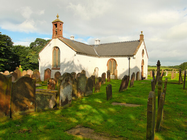
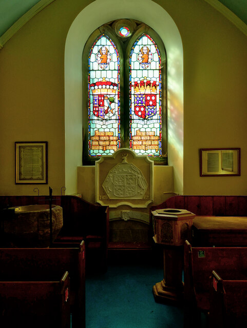
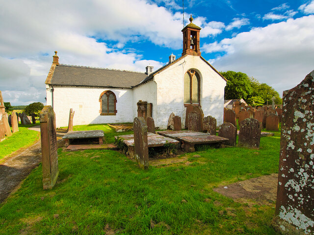
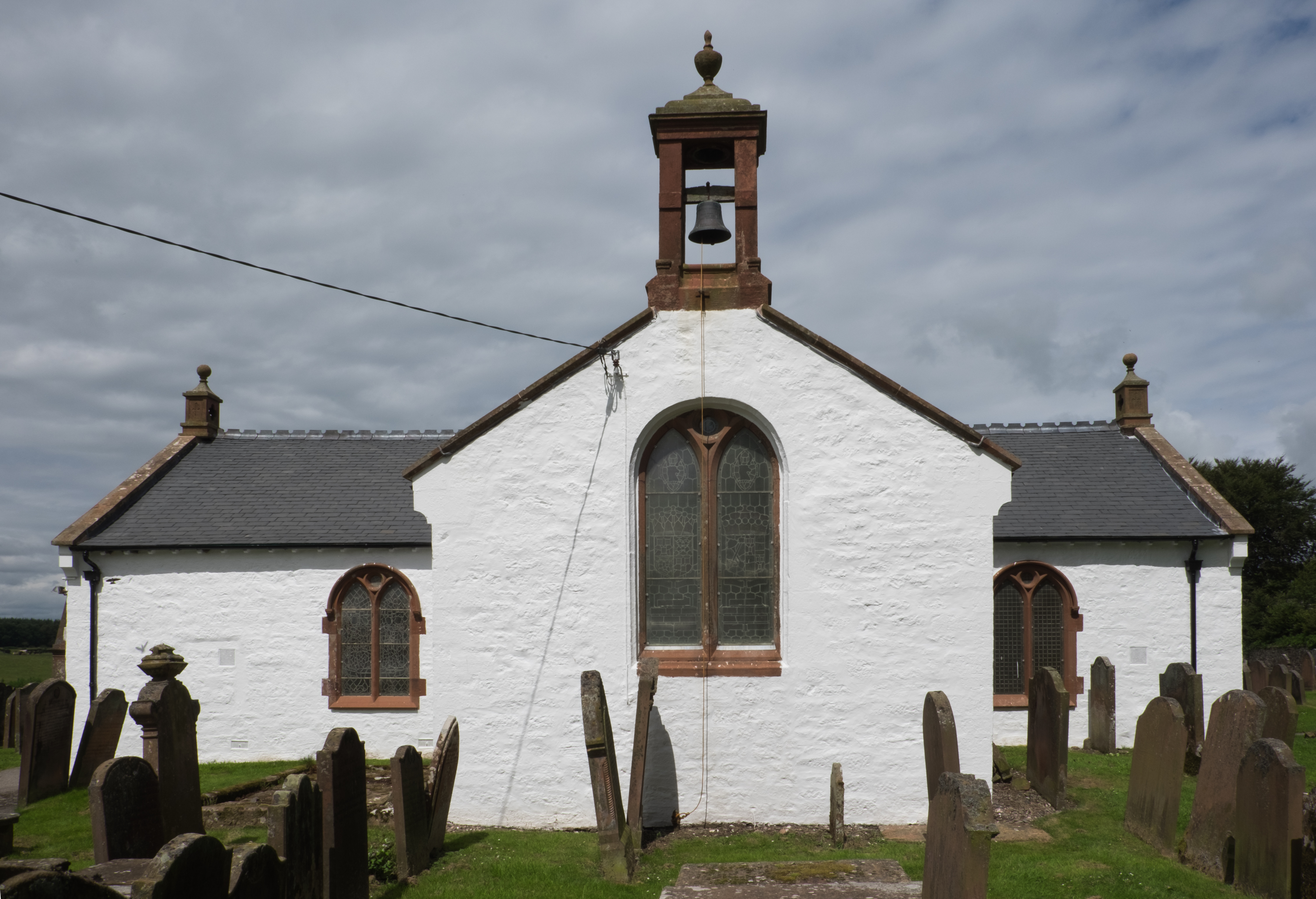
Clarencefield boasts a rich history, with evidence of human settlement dating back to prehistoric times. The area was once home to a Roman fort and has seen the influence of various civilizations throughout the centuries.
Nature enthusiasts and outdoor lovers will find plenty to explore in the vicinity of Clarencefield. The nearby Mabie Forest offers numerous walking and cycling trails, while the Solway Firth coastline is a short drive away, providing opportunities for birdwatching and scenic walks along the beach.
Overall, Clarencefield offers a peaceful and idyllic lifestyle for its residents, with its stunning natural surroundings and strong community spirit.
If you have any feedback on the listing, please let us know in the comments section below.
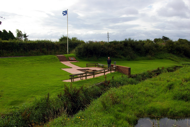
Clarencefield Images
Images are sourced within 2km of 55.005677/-3.423216 or Grid Reference NY0968. Thanks to Geograph Open Source API. All images are credited.


Clarencefield is located at Grid Ref: NY0968 (Lat: 55.005677, Lng: -3.423216)
Unitary Authority: Dumfries and Galloway
Police Authority: Dumfries and Galloway
What 3 Words
///summaries.loosed.octagonal. Near Annan, Dumfries & Galloway
Nearby Locations
Related Wikis

Clarencefield
Clarencefield is a small village in Ruthwell Parish between Dumfries and Annan in Dumfries and Galloway, Scotland. It was once served by Ruthwell railway...

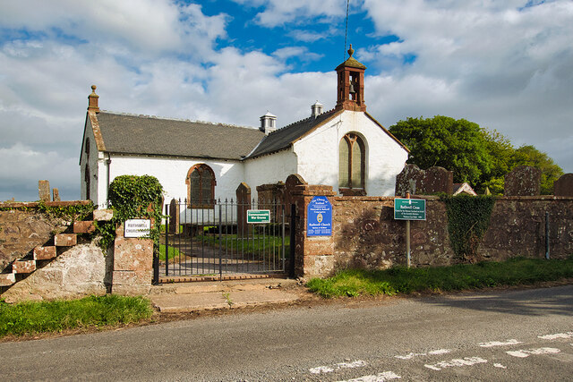
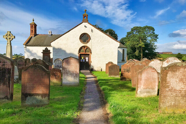
Ruthwell railway station
Ruthwell railway station was a railway station in Dumfries and Galloway south of Dumfries, serving the village of Ruthwell with its famous 8th century...

Comlongon Castle
Comlongon Castle is a tower house dating from the later 15th century or early 16th century. It is located 1 kilometre (0.62 mi) west of the village of...

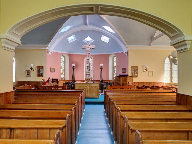
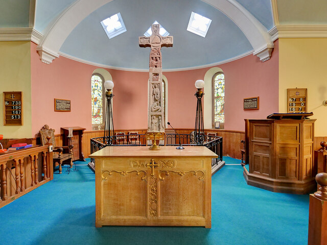
Ruthwell Cross
The Ruthwell Cross is a stone Anglo-Saxon cross probably dating from the 8th century, when the village of Ruthwell, now in Scotland, was part of the Anglo...
Brow, Dumfries and Galloway
Brow is a hamlet on the B725 lying around 3 km from Ruthwell in the Parish of that name on the Solway Firth between Dumfries and Annan in Dumfries and...
Ruthwell
Ruthwell is a village and parish on the Solway Firth between Dumfries and Annan in Dumfries and Galloway, Scotland. Thomas Randolph, Earl of Moray, gave...

Lochar Water
Lochar Water is a small river located in Dumfries and Galloway. It flows for about 10 miles or 16 km, mainly in a southerly direction, roughly parallel...

Cockpool Castle
Cockpool Castle was a castle, located at Cockpool farm, Dumfries and Galloway in Scotland.Thomas Randolph, 1st Earl of Moray, granted the lands of Cockpool...
Nearby Amenities
Located within 500m of 55.005677,-3.423216Have you been to Clarencefield?
Leave your review of Clarencefield below (or comments, questions and feedback).