South Cleeve Grove
Wood, Forest in Somerset Somerset West and Taunton
England
South Cleeve Grove
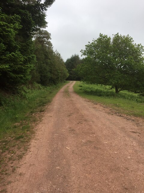
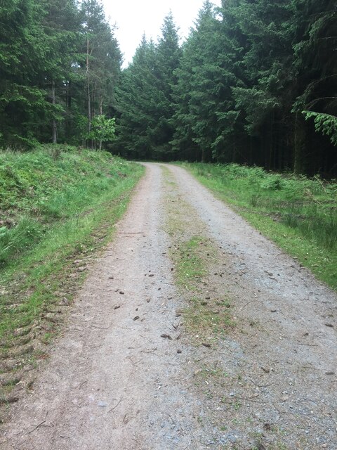
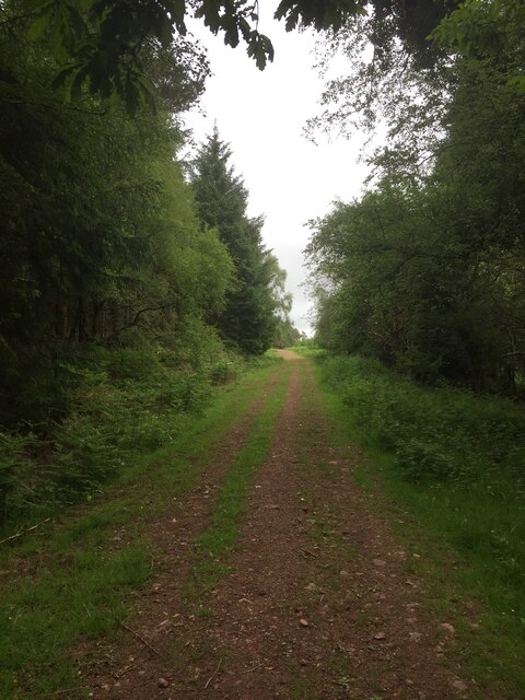
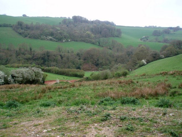
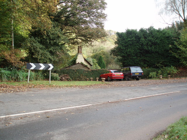
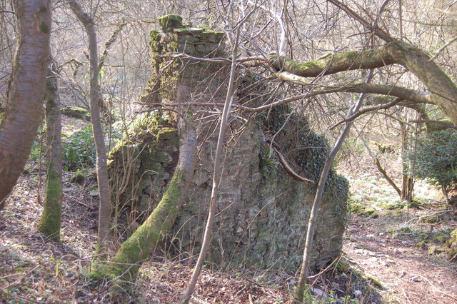
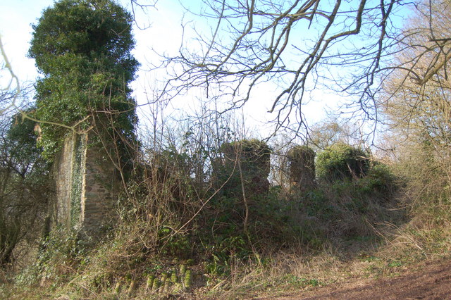
South Cleeve Grove is a picturesque woodland located in Somerset, England. Situated in the heart of the county, it covers an area of approximately 40 acres. The grove is renowned for its beautiful landscape and diverse range of flora and fauna, making it a popular destination for nature lovers and outdoor enthusiasts.
The woodland is primarily composed of deciduous trees, including oak, beech, and birch. These majestic trees provide a stunning canopy of shade, creating a serene and peaceful atmosphere within the grove. The forest floor is adorned with a rich carpet of wildflowers, adding bursts of color to the surroundings.
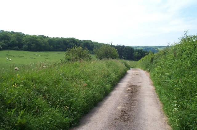
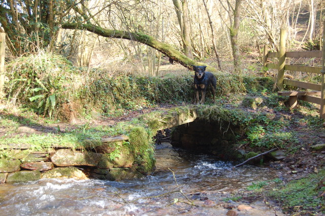
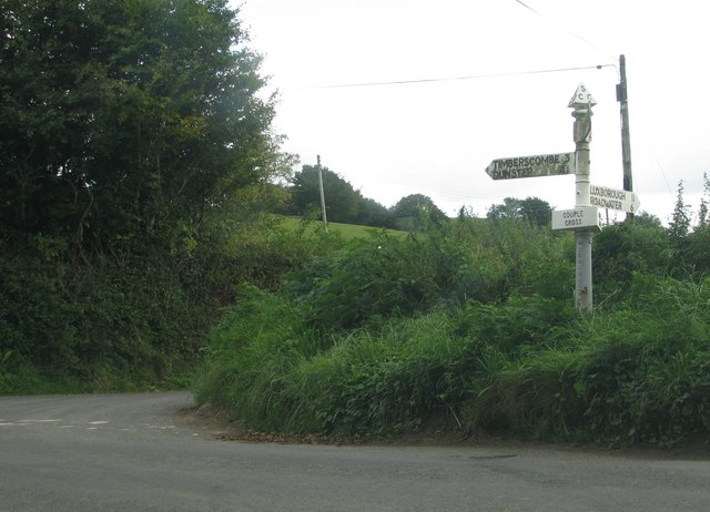
South Cleeve Grove boasts an extensive network of walking trails, allowing visitors to explore the woodland at their leisure. These paths meander through the trees, offering glimpses of the local wildlife, such as deer, foxes, and various species of birds. It is also home to a variety of insects, including butterflies and bees, which thrive in the diverse ecosystem.
The grove is well-maintained and offers amenities for visitors, such as picnic areas and benches, providing opportunities for relaxation and enjoyment of the natural surroundings. Additionally, there is a small visitor center that provides information about the local wildlife and offers guided tours for those interested in learning more about the grove's biodiversity.
South Cleeve Grove is a true gem in the Somerset countryside, offering a tranquil escape from the hustle and bustle of everyday life. Its natural beauty and abundance of wildlife make it a must-visit destination for anyone seeking a peaceful retreat in the heart of nature.
If you have any feedback on the listing, please let us know in the comments section below.
South Cleeve Grove Images
Images are sourced within 2km of 51.150958/-3.488225 or Grid Reference SS9640. Thanks to Geograph Open Source API. All images are credited.


South Cleeve Grove is located at Grid Ref: SS9640 (Lat: 51.150958, Lng: -3.488225)
Administrative County: Somerset
District: Somerset West and Taunton
Police Authority: Avon and Somerset
What 3 Words
///champions.arranger.burst. Near Minehead, Somerset
Nearby Locations
Related Wikis

St Mary's Church, Luxborough
The Anglican St Mary's Church at Luxborough within the English county of Somerset dates from the 13th century. It is a Grade II listed building.The chancel...

Luxborough
Luxborough is a small village and civil parish located some 6 miles (9.7 km) south of Dunster, lying amongst the Brendon Hills and the Exmoor National...

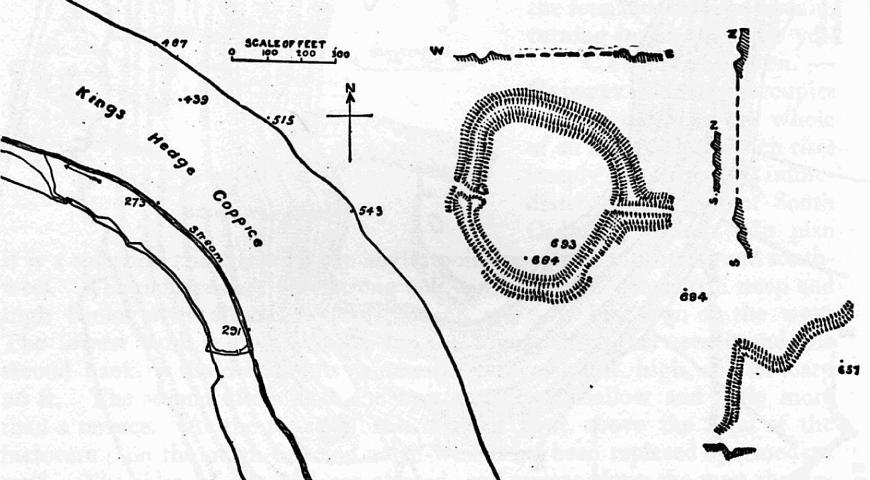
Long Wood Enclosure
Long Wood Enclosure is an enclosure which may have been a univallate Iron Age hill fort, in the West Somerset district of Somerset, England. The hill fort...

Church of St John, Cutcombe
The Anglican Church of St John in Cutcombe, Somerset, England was built in the 13th and 14th centuries. It is a Grade II* listed building. == History... ==

Brendon Hills
The Brendon Hills are a range of hills in west Somerset, England. The hills merge level into the eastern side of Exmoor and are included within the Exmoor...
Cutcombe
Cutcombe is a village and civil parish 9 miles (14 km) south of Minehead and north of Dulverton straddling the ridge between Exmoor and the Brendon Hills...
Bat's Castle
Bats Castle is an Iron Age hillfort at the top of a 213 metres (699 ft) high hill in the parish of Carhampton south south west of Dunster in Somerset,...

Black Ball Camp
Black Ball Camp is an Iron Age hillfort South West of Dunster, Somerset, England on the northern summit of Gallox Hill. It is a Scheduled Monument.It is...
Nearby Amenities
Located within 500m of 51.150958,-3.488225Have you been to South Cleeve Grove?
Leave your review of South Cleeve Grove below (or comments, questions and feedback).