Churchclose Plantation
Wood, Forest in Devon Mid Devon
England
Churchclose Plantation
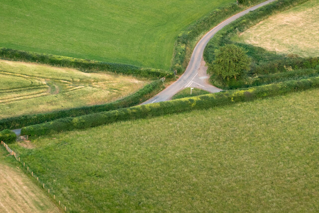
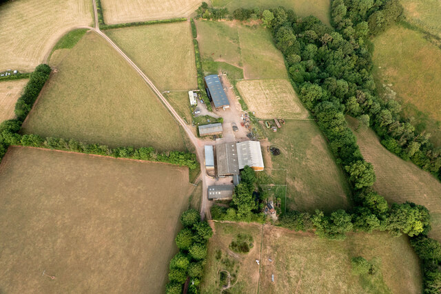
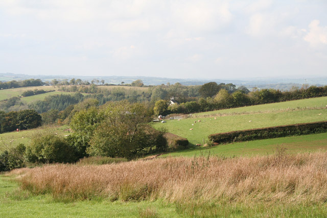
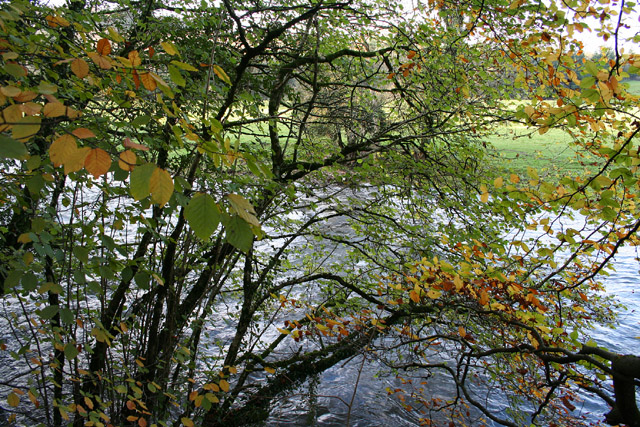
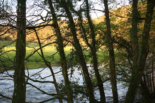
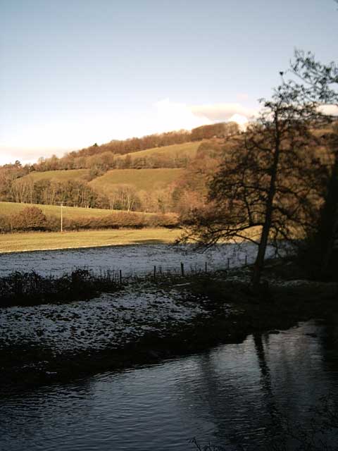
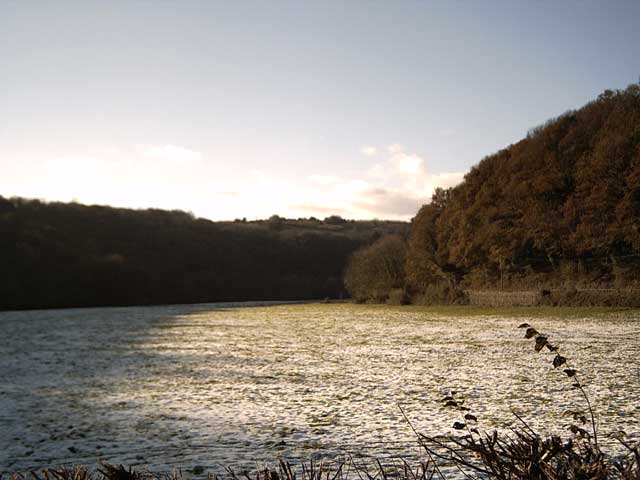
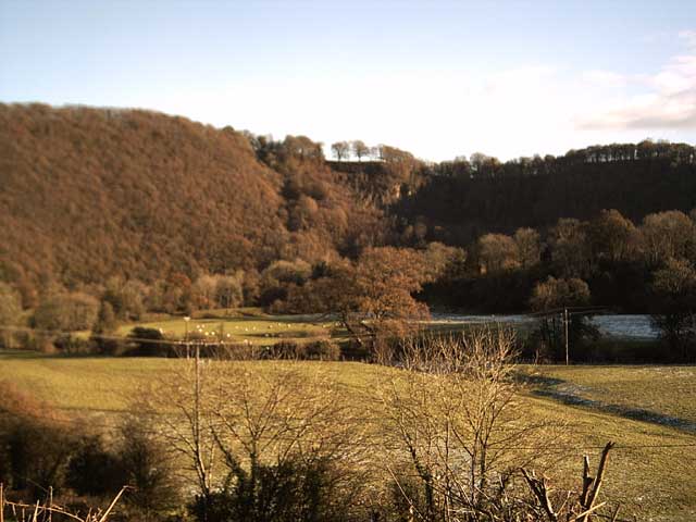
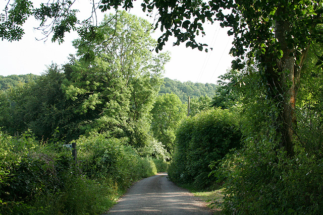
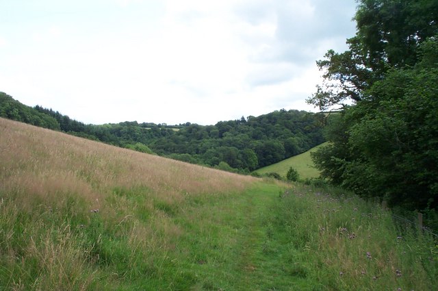
Churchclose Plantation is a picturesque woodland area located in Devon, England. Situated near the town of Exeter, this plantation covers a vast expanse of approximately 100 acres. The woodland is predominantly made up of native deciduous trees, including oak, beech, and birch, which create a stunning display of colors during the autumn season.
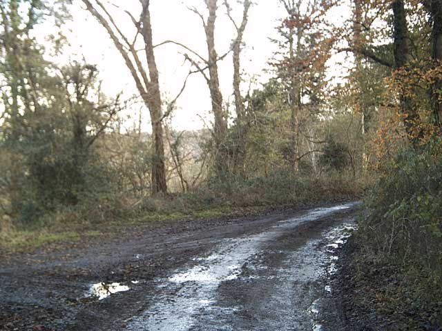
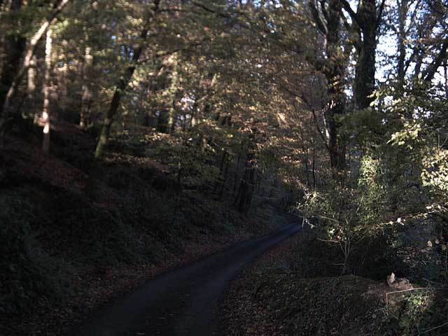
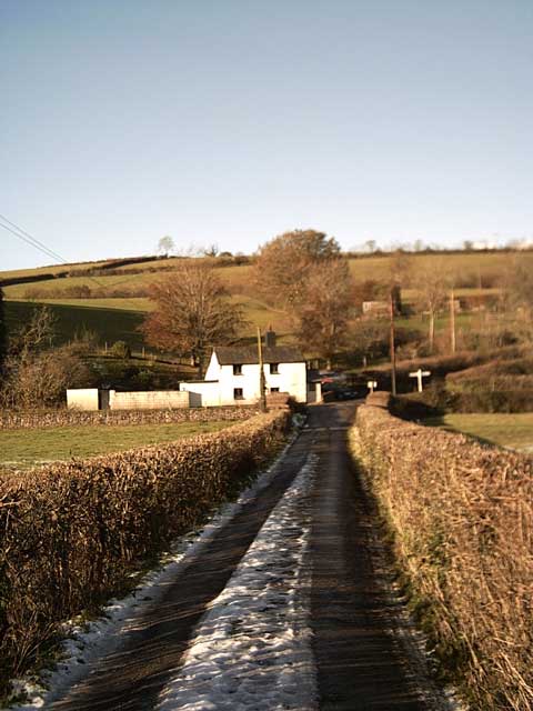
The plantation is known for its tranquil atmosphere and natural beauty, attracting both locals and tourists alike. It offers a peaceful retreat from the bustling city life, providing a perfect setting for nature lovers and outdoor enthusiasts. The well-maintained walking trails wind through the woodland, allowing visitors to explore and enjoy the diverse flora and fauna.
Churchclose Plantation also boasts a rich history. It is believed to have been in existence for centuries, with evidence of human activity dating back to the medieval period. The plantation's name is derived from its proximity to the Church of St. Mary, which is located nearby.
In addition to its natural and historical significance, Churchclose Plantation serves as an important habitat for various wildlife species. It provides a home to numerous bird species, including woodpeckers, owls, and thrushes. Small mammals such as squirrels and rabbits are also commonly spotted within the woodland.
Overall, Churchclose Plantation offers a captivating blend of natural beauty, historical importance, and ecological significance. Its idyllic setting and diverse ecosystem make it a popular destination for those seeking tranquility and a connection with nature in the heart of Devon.
If you have any feedback on the listing, please let us know in the comments section below.
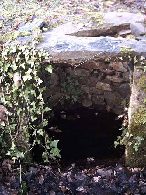
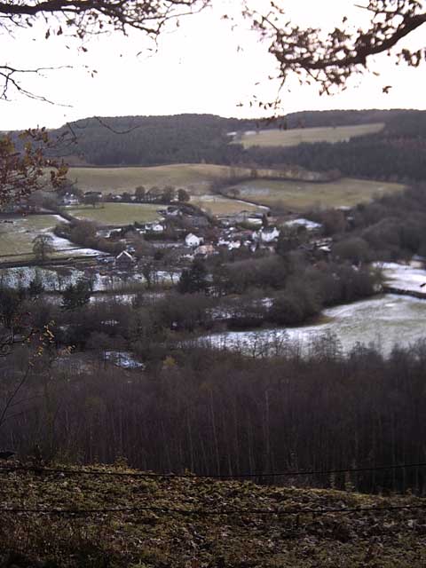
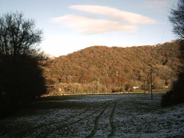
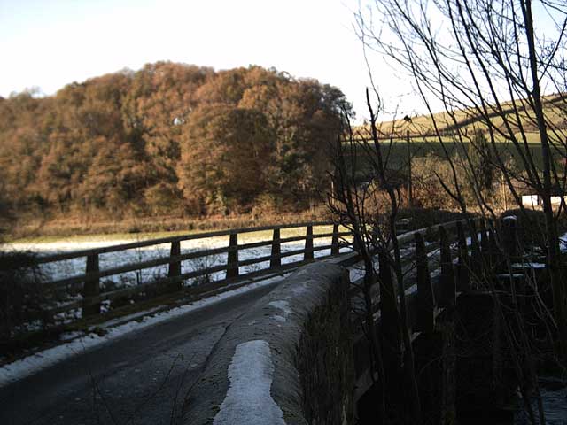
Churchclose Plantation Images
Images are sourced within 2km of 50.965483/-3.4845958 or Grid Reference SS9519. Thanks to Geograph Open Source API. All images are credited.
Churchclose Plantation is located at Grid Ref: SS9519 (Lat: 50.965483, Lng: -3.4845958)
Administrative County: Devon
District: Mid Devon
Police Authority: Devon and Cornwall
What 3 Words
///scratches.yoga.pairings. Near Tiverton, Devon
Nearby Locations
Related Wikis

Cove, Devon
Cove is a small village in the county of Devon, England. It is 4 miles north of Tiverton and 2 miles from Bampton in the Exe Valley some 450 feet above...

River Batherm
The River Batherm is a river which flows through Somerset and Devon in England. The river rises on high ground near the village of Sperry Barton, between...

Castle Close
Castle Close is a circular earthwork located near Stoodleigh in Mid Devon, England at OS grid reference SS937181. It is described on maps as a settlement...

Bampton, Devon
Bampton is a small town and parish in northeast Devon, England, on the River Batherm, a tributary of the River Exe. It is about 6 miles (9.7 km) north...

Bampton Castle, Devon
Bampton Castle in the parish of Bampton, Devon was the seat of the feudal barony of Bampton. It is located on a spur that overlooks the River Batherm....

Stoodleigh
Stoodleigh is a village and civil parish in the Mid Devon district of Devon, England, located 6 miles (10 km) north of Tiverton and 5 miles (8 km) south...

Knightshayes Court
Knightshayes Court is a Victorian country house near Tiverton, Devon, England, designed by William Burges for the Heathcoat-Amory family. Nikolaus Pevsner...

Washfield
Washfield is a village, parish and former manor in Devon, England, situated about 2 miles north-west of Tiverton. The parish church is dedicated to St...
Nearby Amenities
Located within 500m of 50.965483,-3.4845958Have you been to Churchclose Plantation?
Leave your review of Churchclose Plantation below (or comments, questions and feedback).