Bampton Wood
Wood, Forest in Devon Mid Devon
England
Bampton Wood
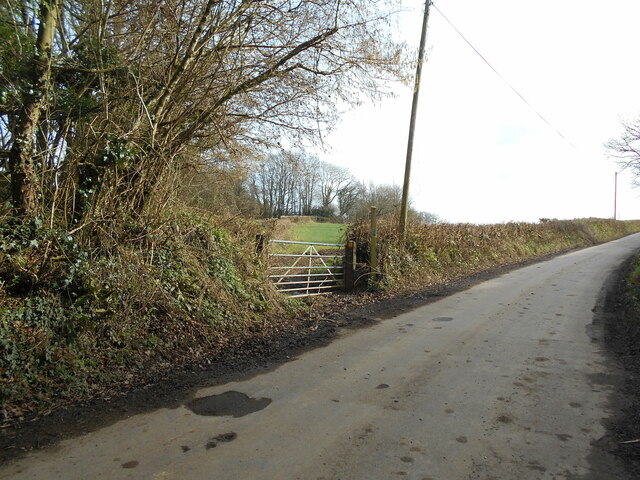
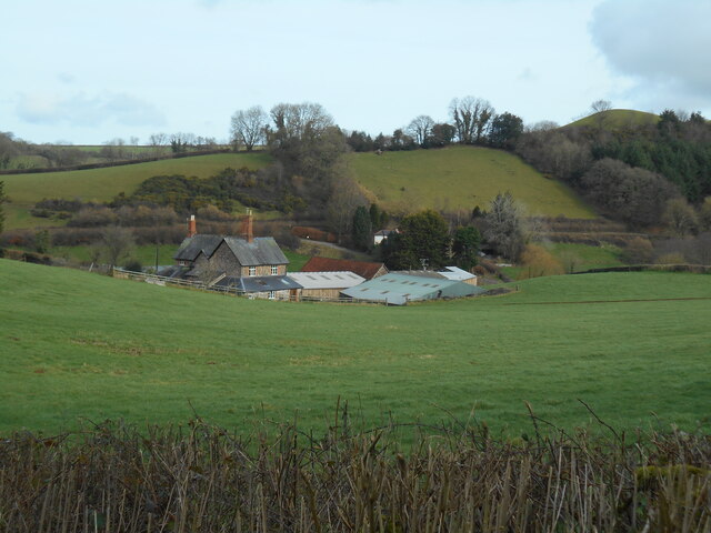
Bampton Wood is a picturesque woodland located in Devon, England. Spanning an area of approximately 80 acres, it is a popular destination for nature enthusiasts and outdoor enthusiasts alike. The wood is situated on the outskirts of the village of Bampton and is easily accessible for visitors.
The woodland is home to a diverse range of plant and animal species, making it a haven for wildlife. Within its boundaries, visitors can find towering oak, beech, and ash trees, as well as a variety of smaller shrubs and plants. The dense canopy created by these trees provides a cool and tranquil atmosphere, making it an ideal spot for a peaceful walk or picnic.
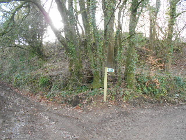
Bampton Wood also boasts a network of well-maintained walking trails, allowing visitors to explore its natural beauty at their own pace. These trails wind through the woodland, providing glimpses of the diverse flora and fauna that call it home. Birdwatchers will particularly enjoy the wood, as it is home to a wide variety of avian species, including woodpeckers, owls, and various songbirds.
In addition to its natural beauty, Bampton Wood also holds historical significance. It is believed that the wood has been in existence for centuries, with remnants of ancient earthworks and boundary banks still visible today. Such features provide insight into the wood's past and add to its charm.
Overall, Bampton Wood is a charming and enchanting woodland that offers a peaceful retreat from the hustle and bustle of everyday life. Whether visitors are seeking a leisurely stroll, a bird-watching expedition, or a moment of tranquility, this Devon woodland provides the perfect setting.
If you have any feedback on the listing, please let us know in the comments section below.
Bampton Wood Images
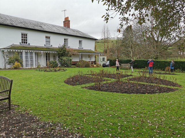
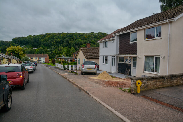
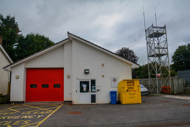
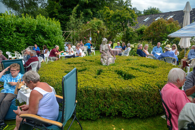
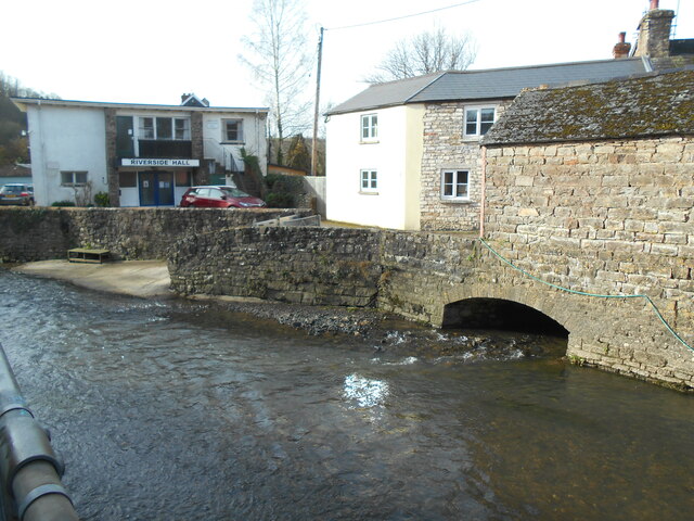
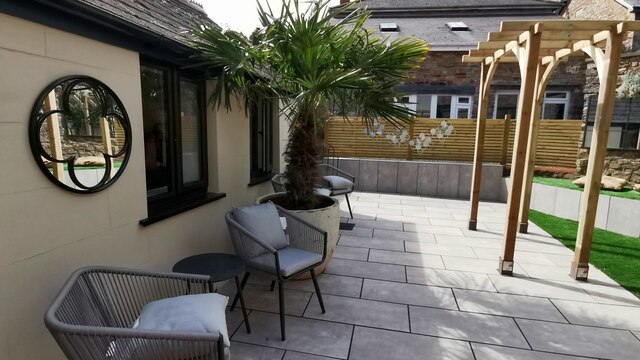
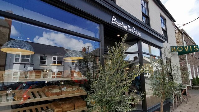
Images are sourced within 2km of 50.986081/-3.4871052 or Grid Reference SS9521. Thanks to Geograph Open Source API. All images are credited.


Bampton Wood is located at Grid Ref: SS9521 (Lat: 50.986081, Lng: -3.4871052)
Administrative County: Devon
District: Mid Devon
Police Authority: Devon and Cornwall
What 3 Words
///needed.printout.pool. Near Dulverton, Somerset
Nearby Locations
Related Wikis

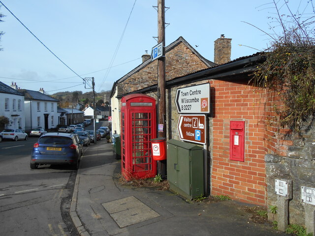
Bampton, Devon
Bampton is a small town and parish in northeast Devon, England, on the River Batherm, a tributary of the River Exe. It is about 6 miles (9.7 km) north...

Bampton Castle, Devon
Bampton Castle in the parish of Bampton, Devon was the seat of the feudal barony of Bampton. It is located on a spur that overlooks the River Batherm....

River Batherm
The River Batherm is a river which flows through Somerset and Devon in England. The river rises on high ground near the village of Sperry Barton, between...

Cove, Devon
Cove is a small village in the county of Devon, England. It is 4 miles north of Tiverton and 2 miles from Bampton in the Exe Valley some 450 feet above...

Morebath Junction railway station
Morebath Junction Halt was a railway halt near the junction of the Devon and Somerset Railway and Exe Valley Railway in Devon, South West England. �...

Morebath
Morebath is an upland village in the county of Devon, England. It is mostly given over to sheep-farming, and situated on the southern edge of Exmoor. An...

Shillingford, Devon
Shillingford is a village two miles (3 km) northeast of Bampton on the River Batherm in Mid Devon, England, close to the border with West Somerset. It...

St George's Church, Morebath
St George's Church, Morebath is a Grade II* listed parish church in the Church of England Diocese of Exeter in Morebath, Devon. It is part of the Hukeley...
Nearby Amenities
Located within 500m of 50.986081,-3.4871052Have you been to Bampton Wood?
Leave your review of Bampton Wood below (or comments, questions and feedback).