Ashford Copse
Wood, Forest in Devon East Devon
England
Ashford Copse

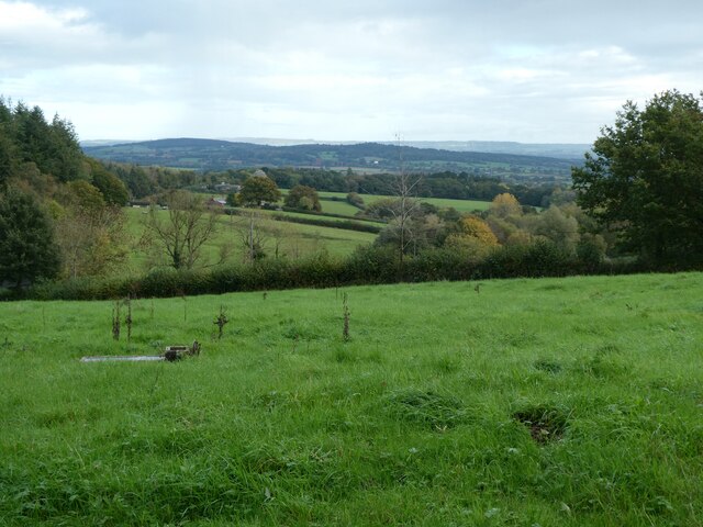
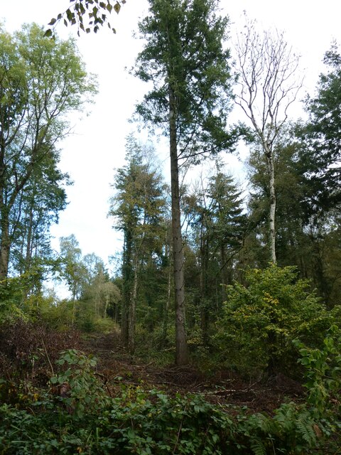
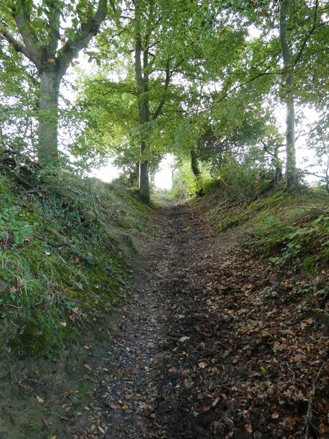
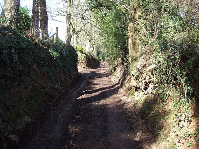
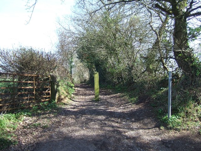
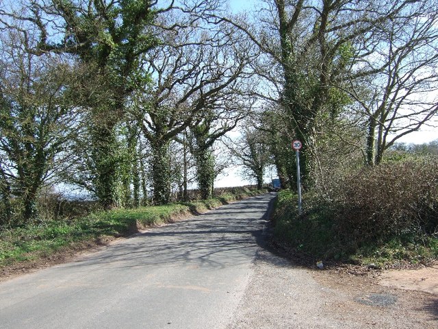
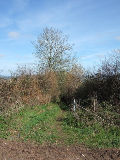
Ashford Copse is a picturesque woodland located in Devon, England. Situated near the village of Ashford, this woodland area covers an expanse of approximately 500 acres, making it a significant natural attraction in the region.
The copse is known for its diverse range of tree species, providing a rich and vibrant environment for both flora and fauna. Ancient oak trees, beech trees, and birch trees dominate the landscape, creating a dense and enchanting forest canopy. The woodland floor is covered with a variety of wildflowers, ferns, and mosses, adding to its natural beauty.
Ashford Copse is also home to a wide array of wildlife species. Visitors can spot native animals such as deer, foxes, and badgers, as well as numerous bird species including woodpeckers, owls, and various songbirds. The copse provides a vital habitat for these creatures, offering shelter and sustenance throughout the year.
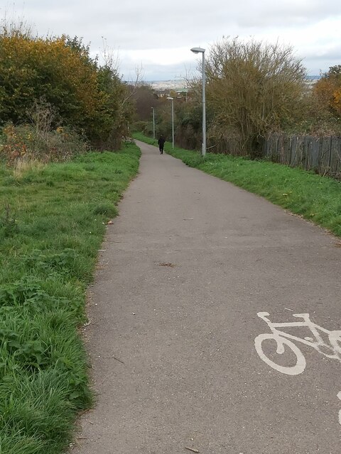
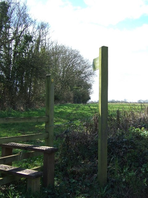
For nature enthusiasts and outdoor lovers, Ashford Copse offers several walking trails and paths, allowing visitors to explore the area at their own pace. These trails vary in difficulty, catering to both casual strollers and avid hikers. The copse is also popular among photographers, who can capture stunning shots of the woodland's natural beauty.
Overall, Ashford Copse is a treasured woodlands in Devon, offering a serene and tranquil escape from the bustling city life. Its diverse ecosystem, scenic beauty, and abundance of wildlife make it a must-visit destination for nature lovers and those seeking a peaceful retreat in the heart of Devon's countryside.
If you have any feedback on the listing, please let us know in the comments section below.
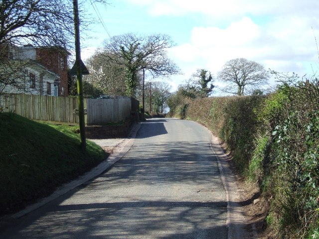
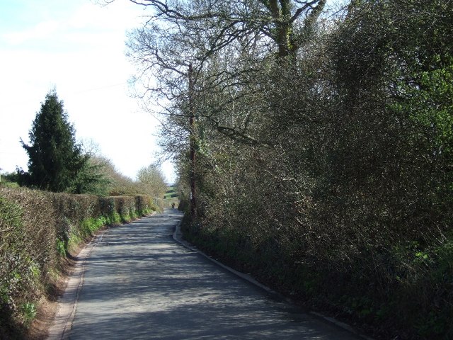
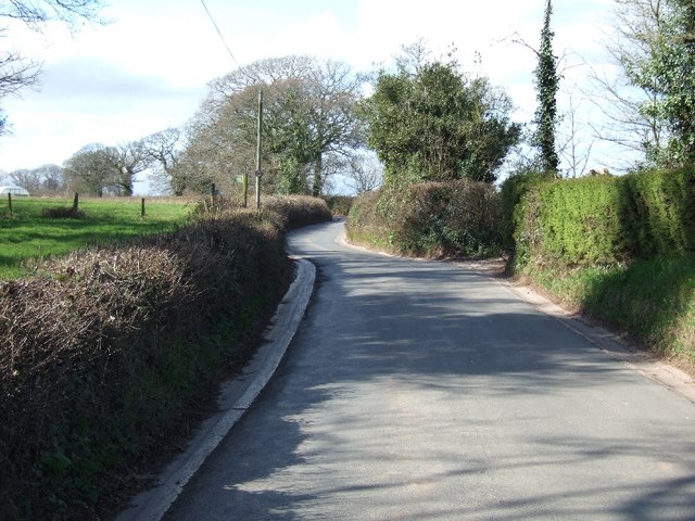
Ashford Copse Images
Images are sourced within 2km of 50.751734/-3.4812666 or Grid Reference SX9595. Thanks to Geograph Open Source API. All images are credited.
Ashford Copse is located at Grid Ref: SX9595 (Lat: 50.751734, Lng: -3.4812666)
Administrative County: Devon
District: East Devon
Police Authority: Devon and Cornwall
What 3 Words
///formation.award.clutter. Near Heavitree, Devon
Nearby Locations
Related Wikis

Battle of Pinhoe
The Battle of Pinhoe was a battle between the Danes and the men of Devon and Somerset at Pinhoe, Devon. == The battle == In 1001, Vikings laid siege to...

Poltimore House
Poltimore House is an 18th-century country house in Poltimore, Devon, England. The Manor of Poltimore was from the 13th to the 20th century the seat of...

Poltimore
Poltimore is a village, civil parish and former manor in the East Devon district, in the county of Devon, England. It lies approximately 5 miles (8.0 km...

Pinhoe
Pinhoe is a former village, manor and ecclesiastical parish, now a suburb on the north eastern outskirts of the City of Exeter in the English county of...

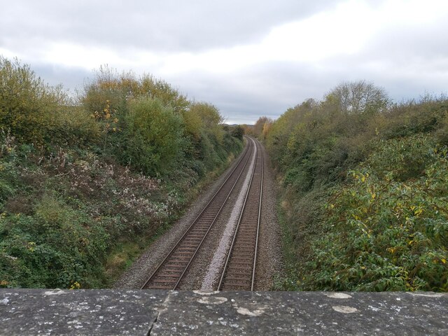
Pinhoe railway station
Pinhoe railway station is on the eastern edge of the city of Exeter in Devon, England, that serves the village of Pinhoe. It was opened by the London and...

Exeter Arena
Exeter Arena, formerly known as the Exhibition Fields, is an outdoor sports complex at Whipton Barton in Exeter, Devon. == History == === Early agricultural... ===
St James School, Exeter
St James School is a mixed secondary school located in Exeter in the English county of Devon.Previously a foundation school administered by Devon County...

Monkerton
Monkerton is a small hamlet in the village of Pinhoe in the county of Devon. Pinhoe Railway Station is situated there. Monkerton is set to expand hugely...
Nearby Amenities
Located within 500m of 50.751734,-3.4812666Have you been to Ashford Copse?
Leave your review of Ashford Copse below (or comments, questions and feedback).