Combe Wood

Wood, Forest in Somerset Somerset West and Taunton

England

Combe Wood

Nurcott Farm. This smart farm now offers holiday cottages to rent.
Nurcott Farm. Credit: Barbara Cook

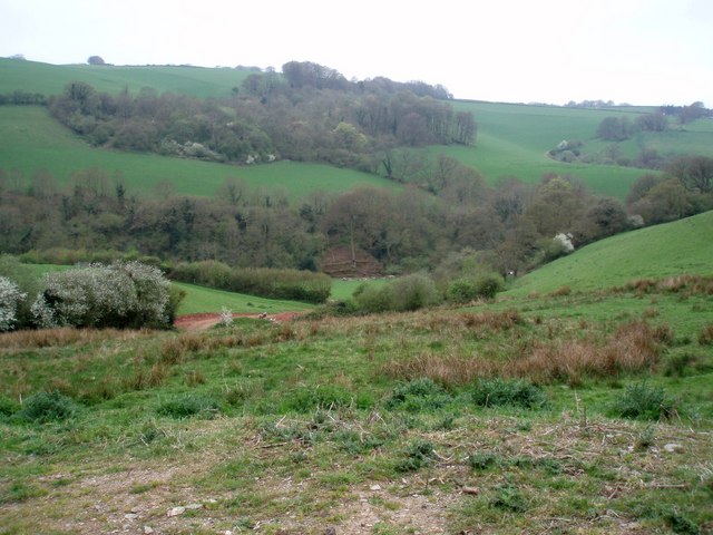
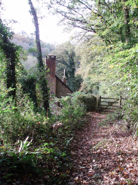
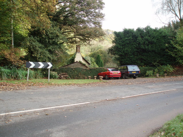
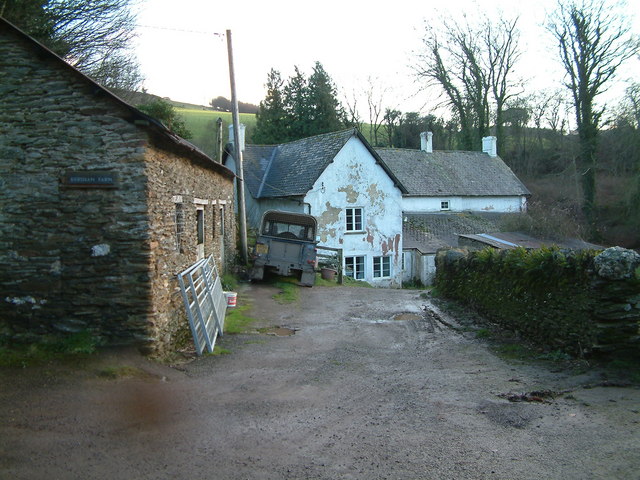
Combe Wood is a picturesque woodland located in Somerset, England. Covering an area of approximately 200 acres, it is nestled within the rolling hills of the Quantock Hills Area of Outstanding Natural Beauty. The wood is owned and managed by the Forestry Commission.

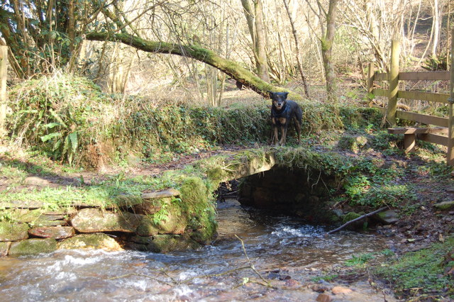
Combe Wood is home to a diverse range of flora and fauna, making it a haven for nature lovers and wildlife enthusiasts. The woodland consists mainly of broadleaf trees, including oak, beech, and ash, which create a dense canopy overhead, providing shade and shelter for the woodland floor below. Bluebells carpet the forest floor in spring, creating a breathtaking display of color.

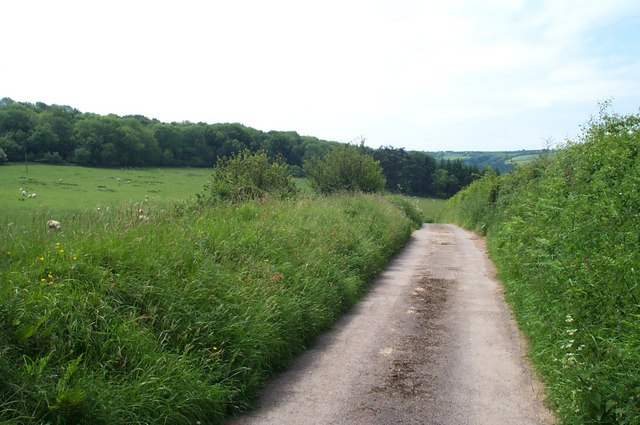
The wood is crisscrossed by a network of well-maintained footpaths and trails, allowing visitors to explore the woodland at their own pace. These paths lead to various points of interest, such as secluded glades, a tranquil stream, and a small pond teeming with aquatic life.

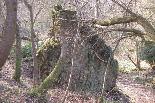
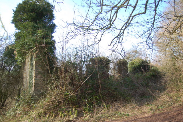
Combe Wood is not only a place of natural beauty but also holds historical significance. The wood was once part of a wider medieval hunting forest, and remnants of this past can still be seen today, with ancient boundary walls and ditches dotting the landscape.

The wood is a popular destination for outdoor activities, including walking, jogging, and birdwatching. It offers a peaceful and serene atmosphere, providing a welcome escape from the hustle and bustle of everyday life. Combe Wood truly embodies the beauty and tranquility of the Somerset countryside.

If you have any feedback on the listing, please let us know in the comments section below.

Combe Wood Images

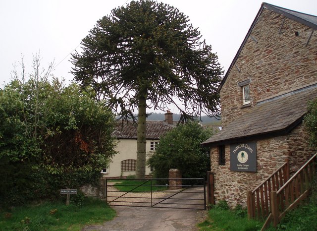
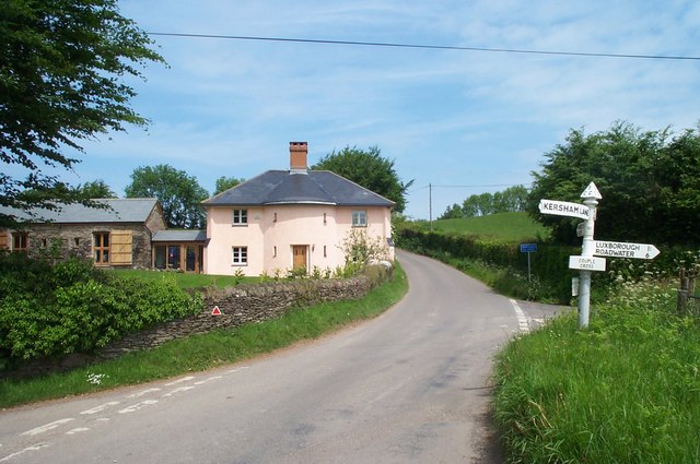
Images are sourced within 2km of 51.147796/-3.4950432 or Grid Reference SS9539. Thanks to Geograph Open Source API. All images are credited.

Nurcott Farm. This smart farm now offers holiday cottages to rent.
Nurcott Farm.
This smart farm now offers holiday cottages to rent.
Timberscombe The combe runs southwards from the village of the same name.
Timberscombe
The combe runs southwards from the village of the same name.
The track to Stowey Farm
House at Couple Cross, in the Brendon Hills
Bridleway along the edge of Croydon Hill Forest The forestry plantation is on the left hand side of the track; to the right is farmland.
Bridleway along the edge of Croydon Hill Forest
The forestry plantation is on the left hand side of the track; to the right is farmland.
Sully Sully consists of one cottage. Photo taken from the footpath in the woods behind the cottage.
Sully
Sully consists of one cottage. Photo taken from the footpath in the woods behind the cottage.
Sully, on the A396 near Wheddon Cross. The one and only dwelling in Sully.
Sully, on the A396 near Wheddon Cross.
The one and only dwelling in Sully.
Cutcombe: Old Stowey Looking down on the farm from the road between Heath Poult Cross and Timberscombe with Croydon Hill on the skyline. View east-north-east
Cutcombe: Old Stowey
Looking down on the farm from the road between Heath Poult Cross and Timberscombe with Croydon Hill on the skyline. View east-north-east
Kersham Farm
Kersham Farm
The foot bridge to Clicket Clicket was once a lively village but is no longer shown on the map.
The foot bridge to Clicket
Clicket was once a lively village but is no longer shown on the map.
Remains of a cottage in Clicket village The village was finally abandoned about 100 years ago but shapes of buildings are still obvious. The Exmoor wind, weather and vegetation have reduced many to lines of moss covered stones. All roof structures have disappeared.
Remains of a cottage in Clicket village
The village was finally abandoned about 100 years ago but shapes of buildings are still obvious. The Exmoor wind, weather and vegetation have reduced many to lines of moss covered stones. All roof structures have disappeared.
Ivy covered remains of Thorn Farm, Clicket The remains of the long lost village of Clicket hide in the secret heart of the hills between Timberscombe and Luxborough
Ivy covered remains of Thorn Farm, Clicket
The remains of the long lost village of Clicket hide in the secret heart of the hills between Timberscombe and Luxborough
Couple Cross
Couple Cross
Nurcott Farm, near Luxborough
South Cleeve Grove Looking across the valley from Croydon Hill.
South Cleeve Grove
Looking across the valley from Croydon Hill.
A hop over the stile and then the stream Fortunately the stream is spanned by a small stone bridge.
A hop over the stile and then the stream
Fortunately the stream is spanned by a small stone bridge.
The creeping shadows Clear February sunshine on Exmoor slowly withdrawing from the valleys.
The creeping shadows
Clear February sunshine on Exmoor slowly withdrawing from the valleys.
Stone bridge An Exmoor stream with a stone bridge for travellers.
Stone bridge
An Exmoor stream with a stone bridge for travellers.
Show me another place!

Combe Wood is located at Grid Ref: SS9539 (Lat: 51.147796, Lng: -3.4950432)

Administrative County: Somerset

District: Somerset West and Taunton

Police Authority: Avon and Somerset

What 3 Words

///encounter.lives.impulsive. Near Minehead, Somerset

Related Wikis

Church of St John, Cutcombe

The Anglican Church of St John in Cutcombe, Somerset, England was built in the 13th and 14th centuries. It is a Grade II* listed building. == History... ==

St Mary's Church, Luxborough

The Anglican St Mary's Church at Luxborough within the English county of Somerset dates from the 13th century. It is a Grade II listed building. The chancel...

Cutcombe

Cutcombe is a village and civil parish 9 miles (14 km) south of Minehead and north of Dulverton straddling the ridge between Exmoor and the Brendon Hills...

Brendon Hills

The Brendon Hills are a range of hills in west Somerset, England. The hills merge level into the eastern side of Exmoor and are included within the Exmoor...

Nearby Amenities

Located within 500m of 51.147796,-3.4950432
The data included in this document is from www.openstreetmap.org. The data is made available under ODbL.

Have you been to Combe Wood?

Leave your review of Combe Wood below (or comments, questions and feedback).