Oaklands Wood
Wood, Forest in Devon Teignbridge
England
Oaklands Wood

Oaklands Wood is a picturesque forest located in the county of Devon, England. Spread across an area of approximately 100 acres, it is renowned for its stunning natural beauty and diverse range of flora and fauna. The wood is situated in a rural area, surrounded by rolling hills and meadows, offering visitors a tranquil and peaceful environment.
The wood is predominantly composed of oak trees, which provide a dense canopy and create a shaded and cool atmosphere. The majestic oaks, some of which are several centuries old, stand tall and proud, adding to the enchanting ambiance of the forest. Other tree species such as beech, ash, and birch are also present, contributing to the overall diversity of the woodland.
A network of well-maintained footpaths and trails winds its way through Oaklands Wood, allowing visitors to explore its natural wonders at their own pace. The paths lead to secluded clearings, babbling brooks, and hidden ponds, providing ample opportunities for wildlife spotting and birdwatching. The wood is home to a variety of animal species, including deer, foxes, rabbits, and a wide range of bird species.
Oaklands Wood is a popular destination for nature enthusiasts, hikers, and families looking to reconnect with nature. It offers a range of recreational activities, such as picnicking, nature walks, and photography. The wood is well-cared for and managed by local authorities, ensuring the preservation of its natural beauty for future generations to enjoy.
If you have any feedback on the listing, please let us know in the comments section below.
Oaklands Wood Images
Images are sourced within 2km of 50.572984/-3.479705 or Grid Reference SX9575. Thanks to Geograph Open Source API. All images are credited.


Oaklands Wood is located at Grid Ref: SX9575 (Lat: 50.572984, Lng: -3.479705)
Administrative County: Devon
District: Teignbridge
Police Authority: Devon and Cornwall
What 3 Words
///uttering.coiling.shoppers. Near Dawlish, Devon
Nearby Locations
Related Wikis

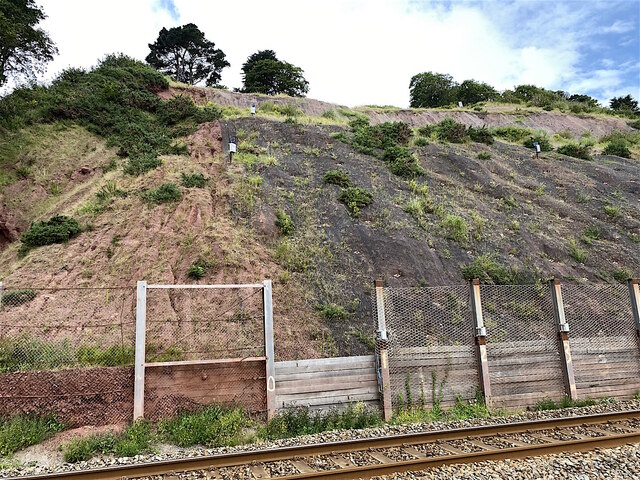
South Devon Railway sea wall
The South Devon Railway sea wall is situated on the south coast of Devon in England. A footpath runs alongside the railway between Dawlish Warren and Dawlish...
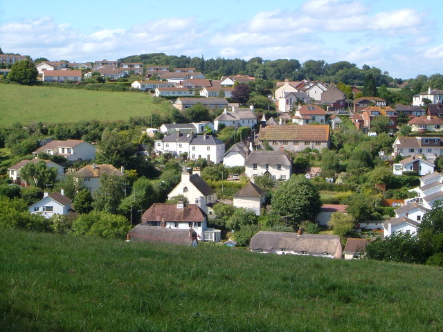
Holcombe, Teignbridge
Holcombe is a small village in the south of Devon, England, situated between the much larger coastal towns of Teignmouth and Dawlish. The village has very...

Dawlish Methodist Church
Dawlish Methodist Church is located on Brunswick Street in the town of Dawlish, Devon, England. It belongs to the circuit of Teignbridge. == History... ==
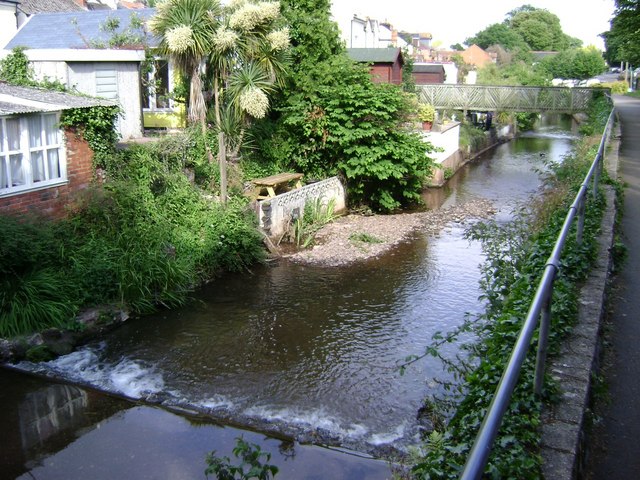
Dawlish Water
Dawlish Water is a minor coastal stream which flows through Devon, England.Dawlish Water, also known as “The Brook”, rises on the eastern slopes of Haldon...

Dawlish
Dawlish is an English seaside resort town and civil parish in Teignbridge on the south coast of Devon; it is located 12 miles (19 km) from the county...
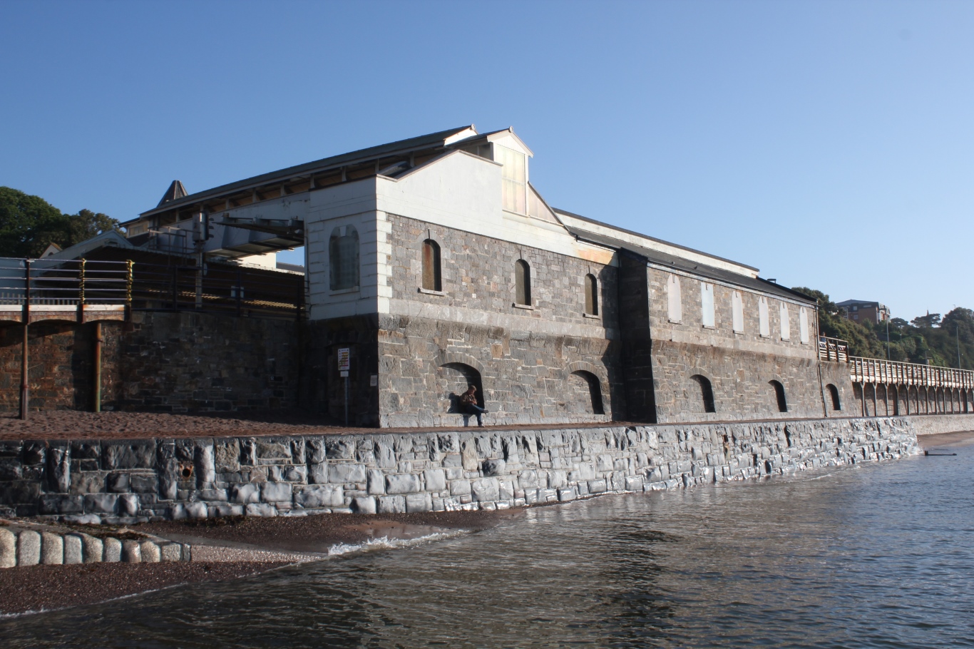
Dawlish railway station
Dawlish railway station is on the Exeter to Plymouth line and serves the seaside resort town of Dawlish in Devon, England. It is located 206 miles 7 chains...
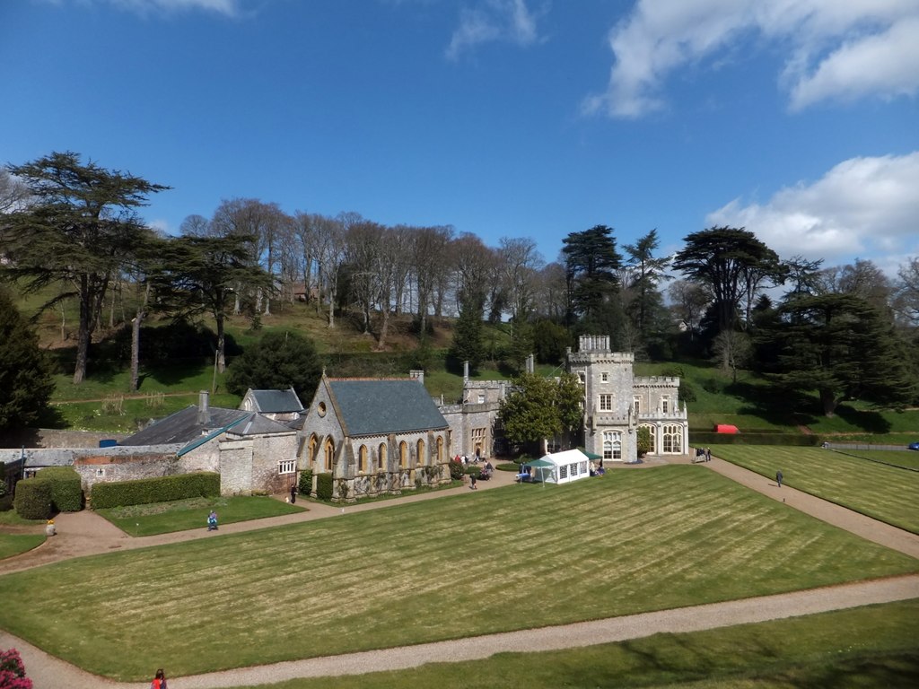
Luscombe Castle
Luscombe Castle is a country house situated near the resort town of Dawlish, in the county of Devon in England. Upon purchasing the land at Luscombe in...

Oakwood Court College
Oakwood provides a specialist provision for young people aged 16 – 25 years, designed to meet the needs of those with Learning difficulties and disabilities...
Nearby Amenities
Located within 500m of 50.572984,-3.479705Have you been to Oaklands Wood?
Leave your review of Oaklands Wood below (or comments, questions and feedback).