Westernmoor Copse
Wood, Forest in Devon Mid Devon
England
Westernmoor Copse

Westernmoor Copse is a beautiful woodland located in Devon, England. Situated in the southwestern part of the country, this copse covers an area of approximately 50 acres. It is a part of the larger Dartmoor National Park, renowned for its stunning landscapes and diverse wildlife.
The copse is characterized by its dense growth of native trees, predominantly oak and beech, which form a dense canopy overhead. This creates a cool and tranquil atmosphere, perfect for leisurely walks or picnics. The forest floor is covered in a thick layer of leaf litter, providing a habitat for various small mammals, insects, and fungi.
The copse is crisscrossed by a network of well-maintained trails, allowing visitors to explore the area easily. These paths wind their way through the woodland, offering glimpses of the enchanting flora and fauna that call this place home. It is not uncommon to spot species such as squirrels, deer, and a variety of bird species, including woodpeckers and owls.
Westernmoor Copse is cherished by locals and visitors alike for its natural beauty and serenity. It provides a peaceful retreat from the hustle and bustle of everyday life, offering a chance to connect with nature. Whether one is seeking solitude, a family outing, or an opportunity for wildlife observation, this copse is the perfect destination. With its idyllic setting and diverse ecosystems, Westernmoor Copse is a hidden gem within the picturesque Devon countryside.
If you have any feedback on the listing, please let us know in the comments section below.
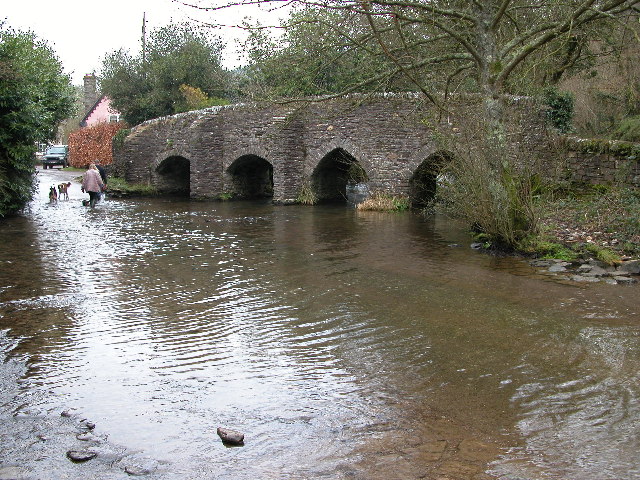
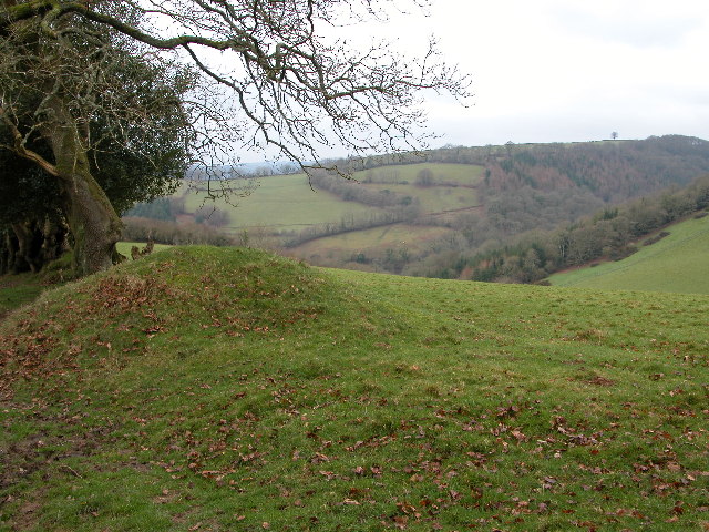
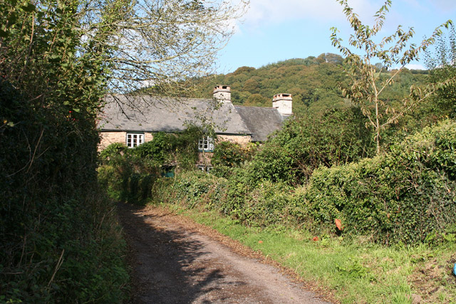
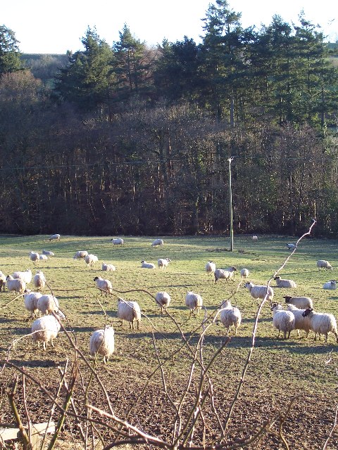
Westernmoor Copse Images
Images are sourced within 2km of 51.020742/-3.5017166 or Grid Reference SS9425. Thanks to Geograph Open Source API. All images are credited.


Westernmoor Copse is located at Grid Ref: SS9425 (Lat: 51.020742, Lng: -3.5017166)
Administrative County: Devon
District: Mid Devon
Police Authority: Devon and Cornwall
What 3 Words
///swerves.ringers.fallen. Near Dulverton, Somerset
Nearby Locations
Related Wikis

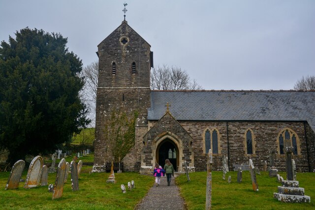
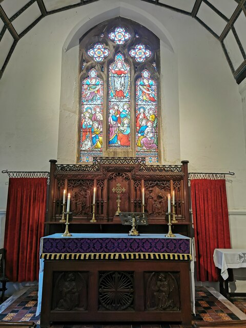
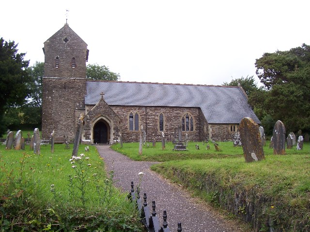
St George's Church, Morebath
St George's Church, Morebath is a Grade II* listed parish church in the Church of England Diocese of Exeter in Morebath, Devon. It is part of the Hukeley...

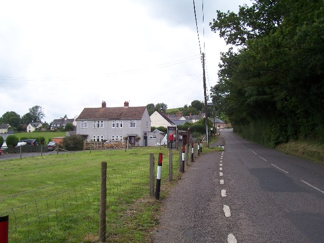
Morebath
Morebath is an upland village in the county of Devon, England. It is mostly given over to sheep-farming, and situated on the southern edge of Exmoor. An...

Morebath Junction railway station
Morebath Junction Halt was a railway halt near the junction of the Devon and Somerset Railway and Exe Valley Railway in Devon, South West England. �...

Bury Castle, Brompton Regis
Bury Castle near Brompton Regis in the English county of Somerset was an Iron Age univallate hillfort which was reused with the creation of a motte after...
Nearby Amenities
Located within 500m of 51.020742,-3.5017166Have you been to Westernmoor Copse?
Leave your review of Westernmoor Copse below (or comments, questions and feedback).