Clapton-on-the-Hill
Settlement in Gloucestershire Cotswold
England
Clapton-on-the-Hill

Clapton-on-the-Hill is a small village located in the county of Gloucestershire, England. Situated on the western edge of the Cotswolds, it is a picturesque and tranquil place with a population of around 300 residents.
The village is characterized by its traditional Cotswold stone houses and charming countryside views. It is surrounded by rolling hills and lush green fields, providing a peaceful and idyllic setting. Clapton-on-the-Hill is known for its unspoiled natural beauty and is a popular destination for nature lovers and hikers.
The village has a rich history that dates back to the medieval period. It features a 12th-century parish church, St. James the Great, which is an architectural gem with its Norman doorway and beautiful stained glass windows. The church is a focal point for community events and religious services.
Clapton-on-the-Hill does not have many amenities, but it offers a sense of rural tranquility that attracts those seeking a slower pace of life. There is a small village pub, The Hill Inn, which serves as a gathering place for locals and visitors alike. The surrounding area offers a range of outdoor activities, including walking trails, cycling routes, and horse riding paths.
While Clapton-on-the-Hill may be a quiet village, it is conveniently located near larger towns such as Cheltenham and Bourton-on-the-Water, which offer a wider range of amenities and attractions. Its proximity to the Cotswolds Area of Outstanding Natural Beauty makes it an excellent base for exploring the region's quintessential English countryside.
If you have any feedback on the listing, please let us know in the comments section below.
Clapton-on-the-Hill Images
Images are sourced within 2km of 51.859507/-1.764902 or Grid Reference SP1617. Thanks to Geograph Open Source API. All images are credited.


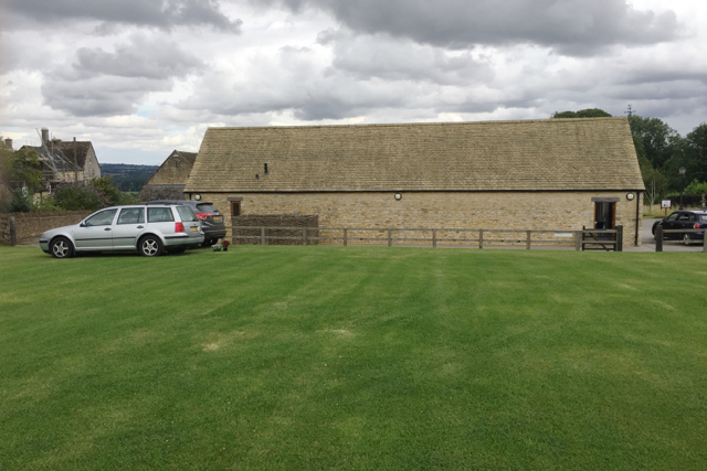


![Bourton Hill Farm [1] The entrance way to the farmhouse. The notice asks that all lorries use another entrance.](https://s3.geograph.org.uk/geophotos/05/77/84/5778487_81df17c5.jpg)
![Bourton Hill farm [2] Some seemingly unoccupied animal housing. Seen from the minor road.](https://s2.geograph.org.uk/geophotos/05/77/84/5778498_776fbac0.jpg)
![Bourton Hill Farm [3] The farm seen from the minor road.](https://s0.geograph.org.uk/geophotos/05/77/85/5778504_6005e468.jpg)

![Bourton Hill Farm [4] The main entrance to the farm.](https://s0.geograph.org.uk/geophotos/05/77/85/5778512_fcbe0ff9.jpg)
Clapton-on-the-Hill is located at Grid Ref: SP1617 (Lat: 51.859507, Lng: -1.764902)
Administrative County: Gloucestershire
District: Cotswold
Police Authority: Gloucestershire
What 3 Words
///tinned.carrots.racetrack. Near Bourton on the Water, Gloucestershire
Nearby Locations
Related Wikis

Clapton, Gloucestershire
Clapton, also known as Clapton-on-the-Hill, is a small village and civil parish in the district of Cotswold, in the county of Gloucestershire, England...

River Dikler
The River Dikler is a short river in the Cotswold District of Gloucestershire which flows for 12 kilometres (7.5 mi) through Upper Swell and to the west...
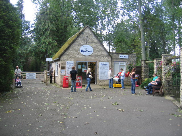
Birdland Park and Gardens
Birdland Park and Gardens, often called Birdland, is a wildlife park in Bourton-on-the-Water, Gloucestershire, England. First opened in 1957, the park...

Bourton Rovers F.C.
Bourton Rovers Football Club is a football club based in Bourton-on-the-Water, Gloucestershire, England. Affiliated to the Gloucestershire County Football...
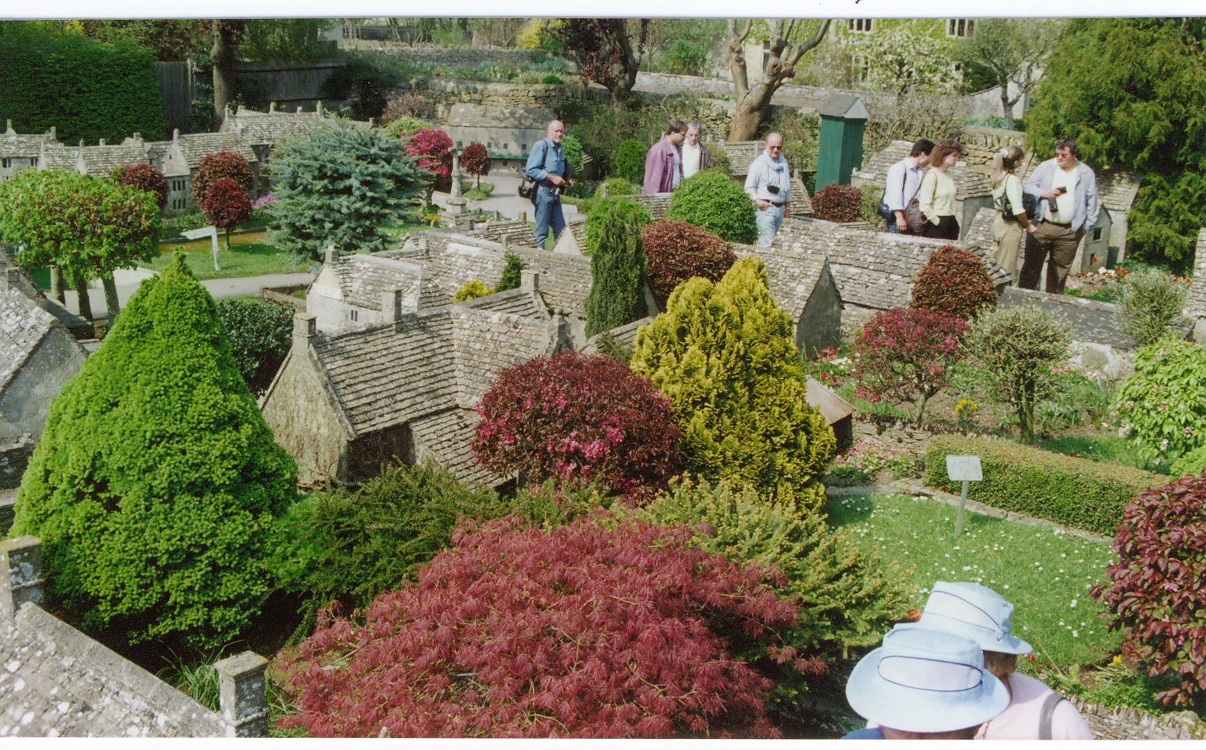
Bourton-on-the-Water model village
Bourton-on-the-Water model village is a scale model village in the grounds of the Old New Inn in Bourton-on-the-Water, Gloucestershire, England. One of...
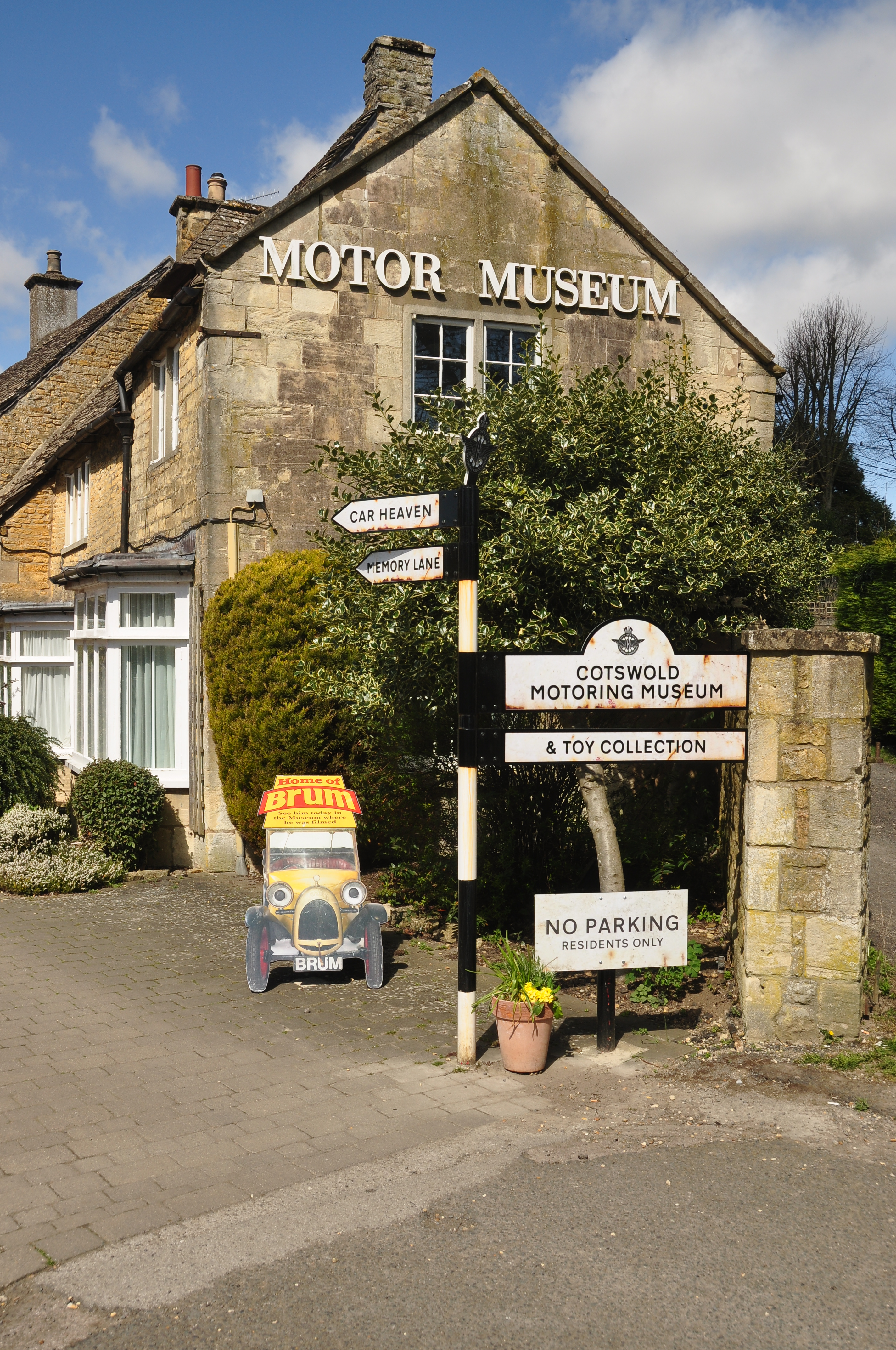
Cotswold Motoring Museum
The Cotswold Motoring Museum is a museum in the Cotswolds village of Bourton-on-the-Water, Gloucestershire, England. It features motoring history of the...
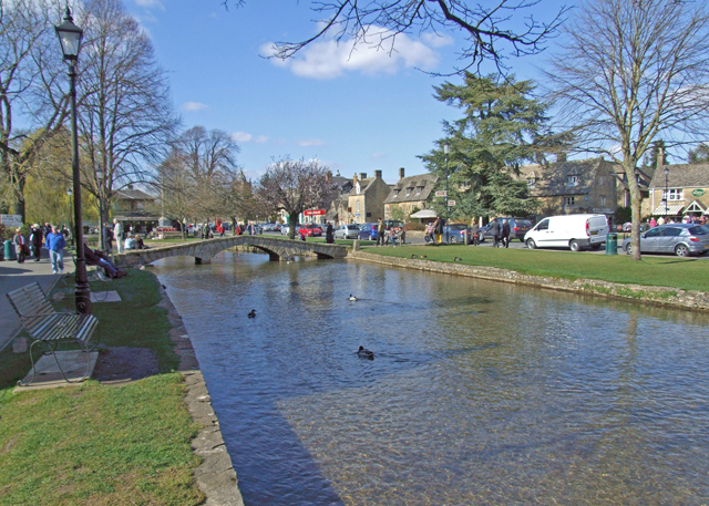
Bourton-on-the-Water
Bourton-on-the-Water is a village and civil parish in Gloucestershire, England, that lies on a wide flat vale within the Cotswolds Area of Outstanding...

Great Rissington
Great Rissington is a village in the Cotswold district of Gloucestershire, England. The population taken at the 2011 census was 367. == History == In the...
Nearby Amenities
Located within 500m of 51.859507,-1.764902Have you been to Clapton-on-the-Hill?
Leave your review of Clapton-on-the-Hill below (or comments, questions and feedback).