The Rookery
Wood, Forest in Devon Mid Devon
England
The Rookery

The Rookery in Devon is a charming woodland area located in the southwestern region of England. Nestled within a dense forest, this picturesque and serene destination is a haven for nature lovers and outdoor enthusiasts alike.
Covering an expansive area, The Rookery is a diverse ecosystem that boasts an array of indigenous flora and fauna. The woodland is primarily composed of tall, majestic oak trees, which provide a lush canopy and create a peaceful ambiance. The forest floor is adorned with a vibrant carpet of wildflowers, including bluebells, primroses, and foxgloves, adding bursts of color to the landscape.
The Rookery is home to a diverse range of wildlife, offering visitors the opportunity to spot various species. Squirrels frolic in the treetops, while rabbits can be seen darting between the undergrowth. Birdwatchers will delight in the presence of native songbirds such as thrushes, robins, and blackbirds, as well as occasional sightings of woodpeckers and owls.
For those looking to explore the natural beauty of The Rookery, a network of well-maintained trails weaves through the forest. These paths offer a chance to immerse oneself in the tranquil surroundings, while also providing access to hidden clearings and scenic viewpoints. Along the way, visitors may stumble upon babbling brooks and small streams, enhancing the overall enchantment of the woodland.
Whether it's a leisurely stroll, a picnic, or a peaceful retreat into nature, The Rookery in Devon is a captivating destination that promises a rejuvenating and unforgettable experience for all who venture within its wooded embrace.
If you have any feedback on the listing, please let us know in the comments section below.
The Rookery Images
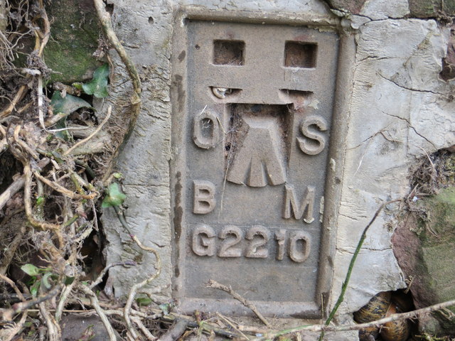
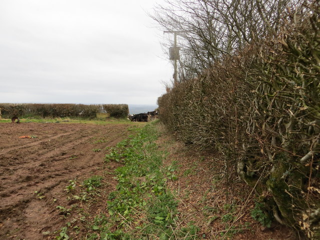
Images are sourced within 2km of 50.835022/-3.5000495 or Grid Reference SS9405. Thanks to Geograph Open Source API. All images are credited.


The Rookery is located at Grid Ref: SS9405 (Lat: 50.835022, Lng: -3.5000495)
Administrative County: Devon
District: Mid Devon
Police Authority: Devon and Cornwall
What 3 Words
///bonkers.encodes.transmitted. Near Silverton, Devon
Nearby Locations
Related Wikis
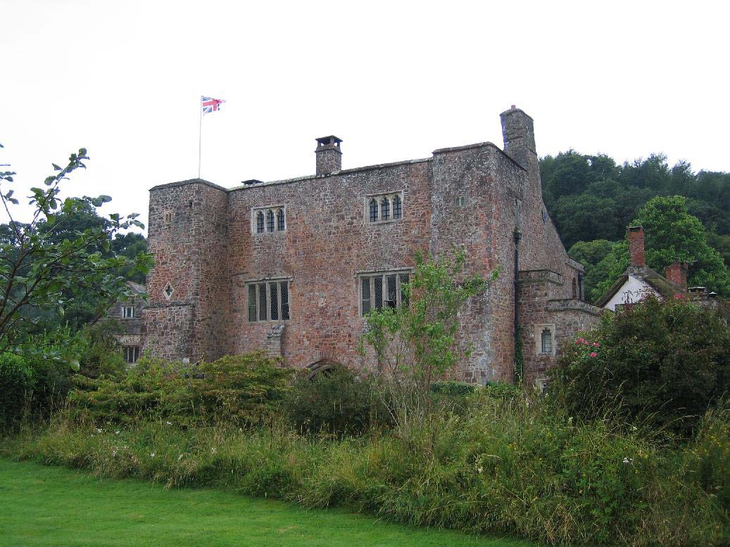
Bickleigh Castle
Bickleigh Castle is a fortified manor house that stands on the banks of the River Exe at Bickleigh in Devon, England. Once considerably larger, Bickleigh...

Bickleigh, Mid Devon
Bickleigh is a village and civil parish in the Mid Devon district of Devon, England, about four miles south of Tiverton. It is in the former hundred of...

Silverton, Devon
Silverton is a large village and civil parish, about 8 miles (13 km) north of Exeter, in the English county of Devon. It is one of the oldest villages...

Devon Railway Centre
The Devon Railway Centre is in the village of Bickleigh in Mid Devon, England, at the former Cadeleigh railway station on the closed Great Western Railway...

The Fisherman's Cot
The Fisherman's Cot is an inn on the A3072 road to the northwest of Bickleigh near Tiverton, in northeastern Devon. It is operated by Marston's Inns and...

Cadbury Castle, Devon
Cadbury Castle is an Iron Age Hillfort close to Bickleigh, Devon, England. It was later encamped by the Parliamentarian forces during the English Civil...

Cadbury, Devon
Cadbury is a village in Devon, England. Cadbury Castle is nearby. The 15th-century Church of St Michael and All Angels features a Norman font. The church...

Silverton Park
Silverton Park, also known locally as Egremont House, was a large neoclassical mansion in the parish of Silverton, Devon, England. == History == It was...
Nearby Amenities
Located within 500m of 50.835022,-3.5000495Have you been to The Rookery?
Leave your review of The Rookery below (or comments, questions and feedback).