Long Copse
Wood, Forest in Devon East Devon
England
Long Copse

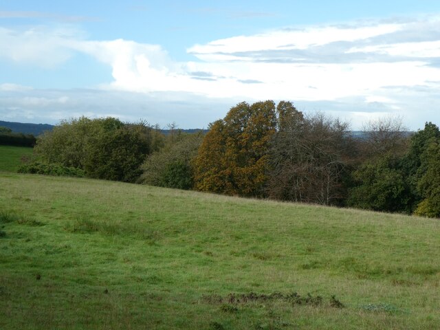
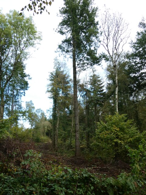
Long Copse is a picturesque woodland area located in the county of Devon, England. Spanning across a vast expanse of approximately 500 acres, this enchanting forest is a haven for nature enthusiasts, hikers, and those seeking a peaceful retreat.
The copse is primarily composed of ancient broadleaf trees, creating a dense and diverse woodland ecosystem. Majestic oaks, beeches, and chestnuts dominate the landscape, their towering canopies providing shade and shelter to a plethora of wildlife. The forest floor is adorned with a vibrant carpet of bluebells, primroses, and other wildflowers during the springtime, adding to the area's natural beauty.
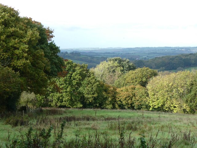
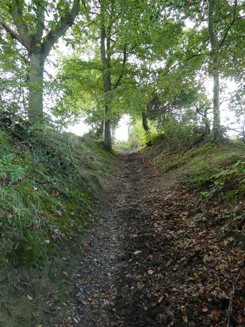
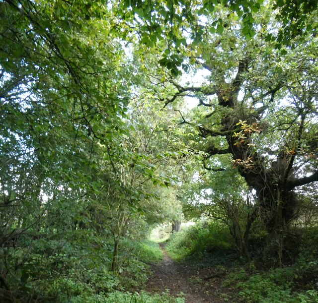
Long Copse offers an extensive network of well-maintained trails, allowing visitors to explore its scenic wonders at their own pace. These paths wind through the wooded glades, revealing hidden clearings, babbling brooks, and charming wildlife habitats. Birdsong fills the air, with species such as woodpeckers, thrushes, and owls making their homes within the copse.
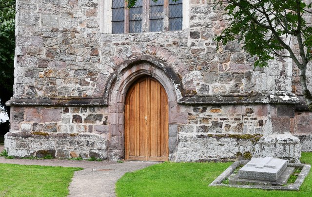
The woodland also holds historical significance, as remnants of ancient settlements and archaeological sites have been discovered throughout the area. This adds an element of intrigue for history enthusiasts, who can delve into the copse's past while enjoying its natural splendor.
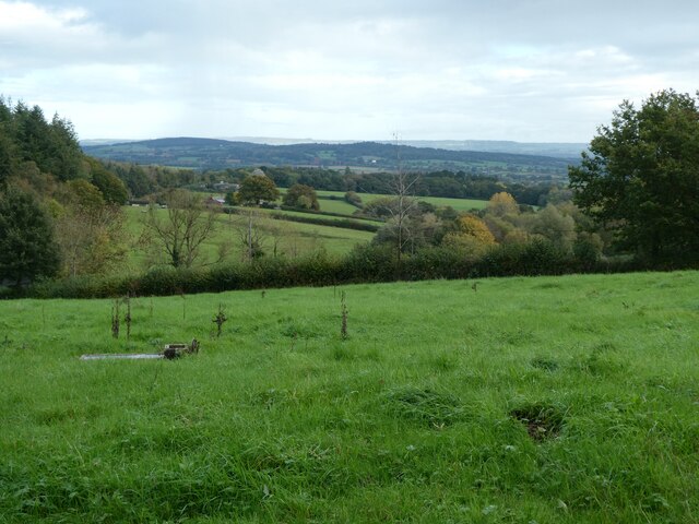
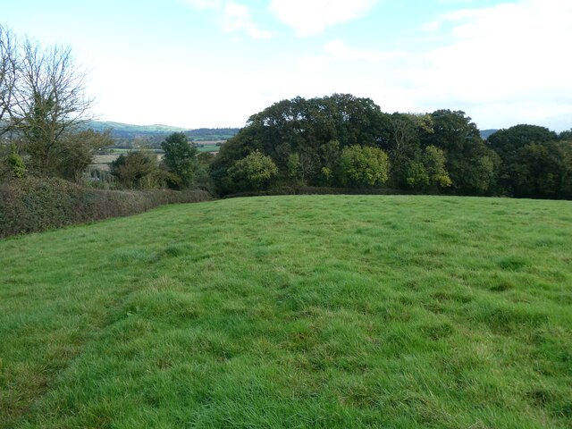
Long Copse boasts a tranquil atmosphere, making it an ideal destination for those seeking solace and a break from the hustle and bustle of everyday life. Whether it's a leisurely stroll, a family picnic, or birdwatching, this captivating woodland offers something for everyone, leaving visitors with a deep appreciation for the beauty of nature.
If you have any feedback on the listing, please let us know in the comments section below.
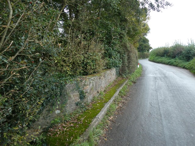
Long Copse Images
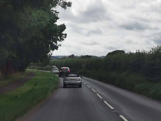
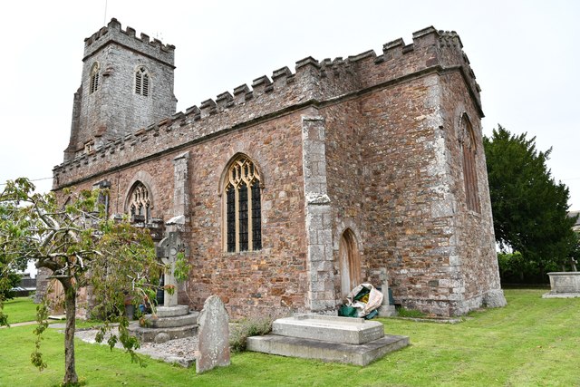
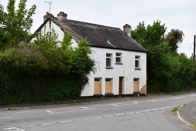
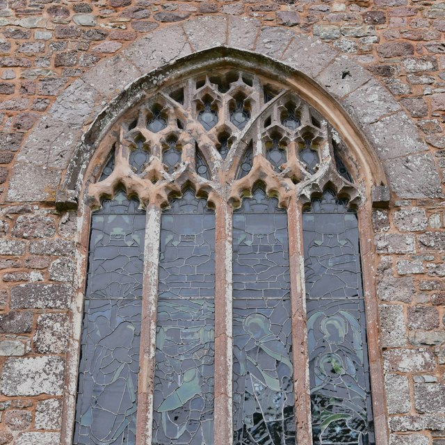
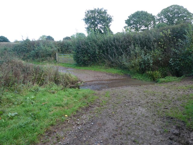
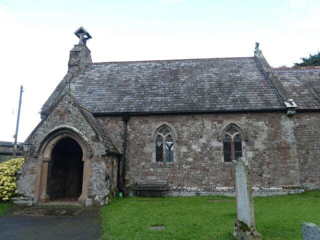
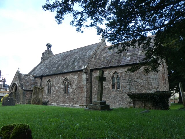
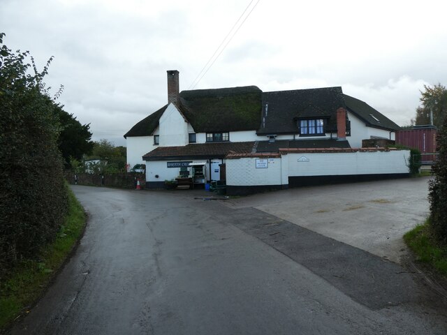
Images are sourced within 2km of 50.762726/-3.5028264 or Grid Reference SX9496. Thanks to Geograph Open Source API. All images are credited.
Long Copse is located at Grid Ref: SX9496 (Lat: 50.762726, Lng: -3.5028264)
Administrative County: Devon
District: East Devon
Police Authority: Devon and Cornwall
What 3 Words
///punters.racked.graced. Near Heavitree, Devon
Nearby Locations
Related Wikis
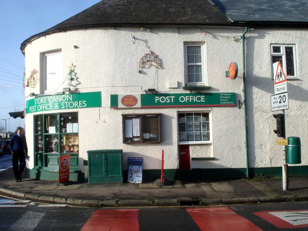
Stoke Canon
Stoke Canon is a small village and civil parish near the confluence of the rivers Exe and Culm on the main A396 between Exeter and Tiverton in the English...

River Culm
The River Culm flows through the Devon Redlands in Devon, England and is the longest tributary of the River Exe. It rises in the Blackdown Hills at a spring...

Huxham
Huxham is a hamlet and civil parish in the county of Devon, England and the district of East Devon and lies about 3 miles from Exeter. The parish has an...

Brampford Speke
Brampford Speke ( BRAM-fərdz-beek) is a small village in Devon, 4 miles (6 km) to the north of Exeter. The population is 419. It is located on red sandstone...
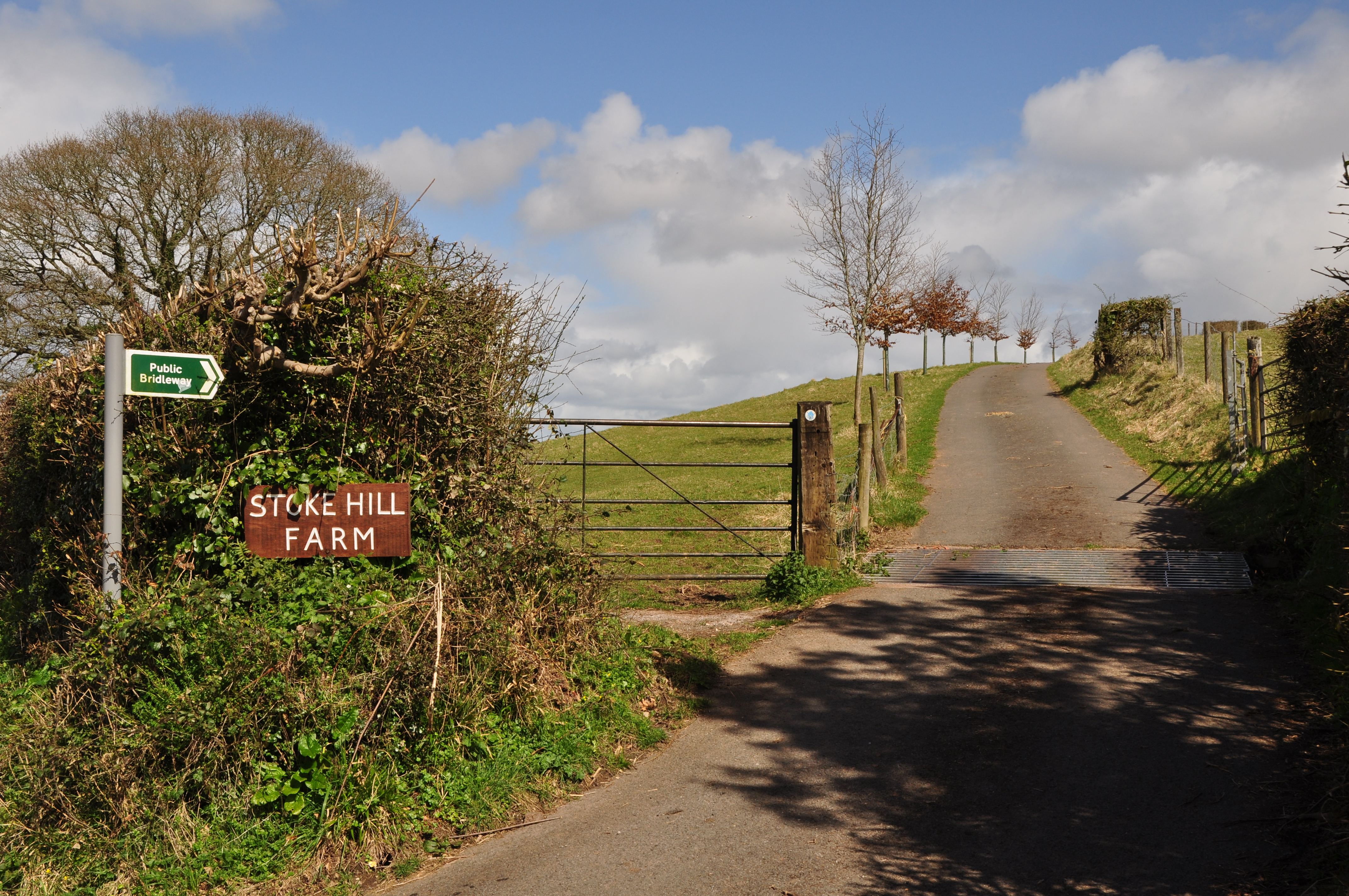
Stoke Hill
Stoke Hill is a large hill rising to the north of Exeter in Devon, England. It is significant as the site of both an Iron Age hill fort and a later Roman...

Rewe, Devon
Rewe is a village and civil parish in the county of Devon in England. It lies on the river Culm, 5 miles (8 km) north of the city of Exeter and 9 miles...

Poltimore
Poltimore is a village, civil parish and former manor in the East Devon district, in the county of Devon, England. It lies approximately 5 miles (8.0 km...

Poltimore House
Poltimore House is an 18th-century country house in Poltimore, Devon, England. The Manor of Poltimore was from the 13th to the 20th century the seat of...
Nearby Amenities
Located within 500m of 50.762726,-3.5028264Have you been to Long Copse?
Leave your review of Long Copse below (or comments, questions and feedback).