Knowle Brake
Wood, Forest in Somerset Somerset West and Taunton
England
Knowle Brake
Knowle Brake is a picturesque woodland located in Somerset, England. Nestled in the heart of the countryside, it is known for its natural beauty and serene atmosphere. Covering an area of approximately 50 acres, the wood boasts a diverse range of flora and fauna, making it a popular destination for nature enthusiasts and hikers alike.
The woodland is primarily composed of deciduous trees, including oak, beech, and ash, which provide a rich canopy of shade during the summer months. This creates a cool and tranquil environment, perfect for leisurely walks or picnics. The forest floor is adorned with a carpet of wildflowers, adding vibrant splashes of color to the landscape.
Several well-maintained trails crisscross through Knowle Brake, offering visitors the opportunity to explore its hidden gems. These paths wind their way through the wood, taking hikers on a journey of discovery through its enchanting scenery. Along the way, walkers may encounter a variety of wildlife, such as deer, foxes, and a plethora of bird species, making it a paradise for animal lovers and birdwatchers.
Knowle Brake is also home to a small pond, which serves as a watering hole for the local wildlife. The pond attracts a wide range of aquatic creatures, including frogs, newts, and dragonflies, creating a thriving ecosystem within the wood.
Overall, Knowle Brake is a haven of tranquility, offering visitors a chance to escape the hustle and bustle of everyday life and immerse themselves in the wonders of nature. Whether it's for a peaceful walk, wildlife spotting, or simply enjoying the beauty of the woodland, Knowle Brake is a must-visit destination in Somerset.
If you have any feedback on the listing, please let us know in the comments section below.
Knowle Brake Images
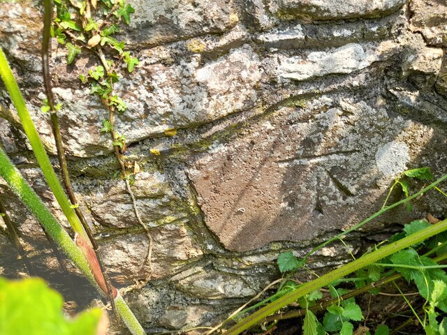
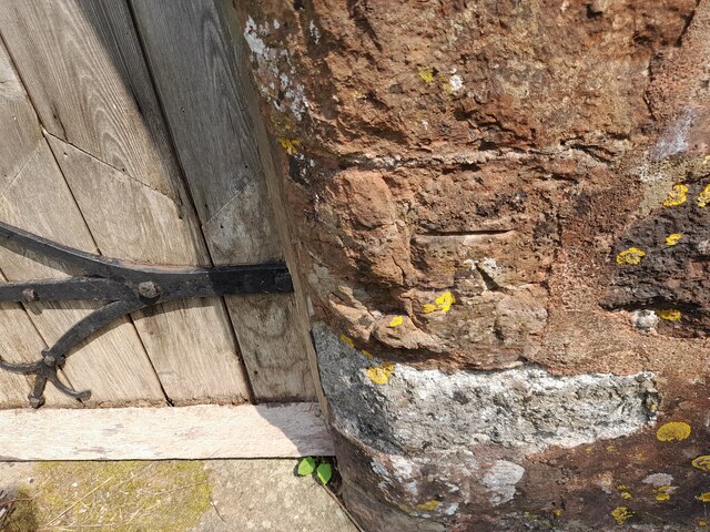
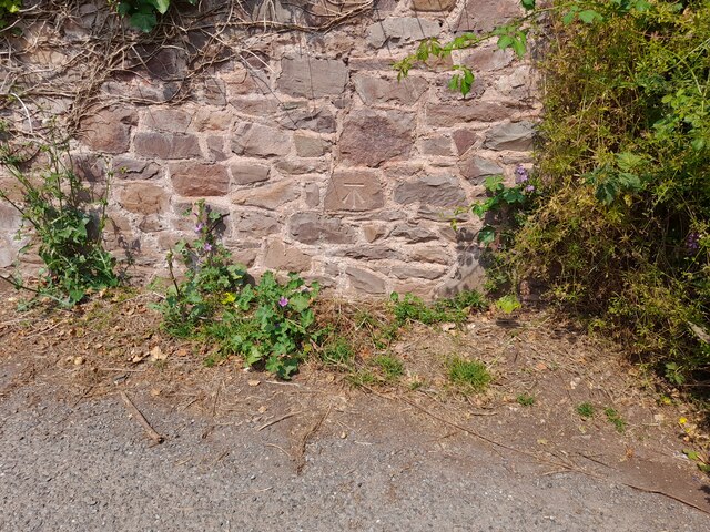
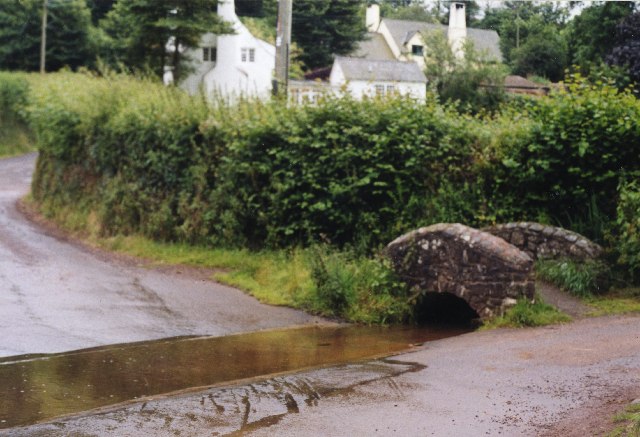
Images are sourced within 2km of 51.187291/-3.5181145 or Grid Reference SS9444. Thanks to Geograph Open Source API. All images are credited.


![Blackford Dovecote An ancient dovecote administered by the National Trust (the black sign informs us) at Blackford near Luccombe. The N.T. seem strangely coy about this tiny property as I can find no mention of it on their website and googling "Blackford Dovecote" comes up a blank ([Edit 2009] Googling it now comes up with this image in top spot !)
The Dovecote is EH Grade II* listed <span class="nowrap"><a title="http://list.historicengland.org.uk/resultsingle.aspx?uid=1345406&amp;searchtype=mapsearch" rel="nofollow ugc noopener" href="http://list.historicengland.org.uk/resultsingle.aspx?uid=1345406&amp;searchtype=mapsearch">Link</a><img style="margin-left:2px;" alt="External link" title="External link - shift click to open in new window" src="https://s1.geograph.org.uk/img/external.png" width="10" height="10"/></span>
It is also a Scheduled Ancient Monument - An unusually informative write-up here <span class="nowrap"><a title="http://list.historicengland.org.uk/resultsingle.aspx?uid=1020774&amp;searchtype=mapsearch" rel="nofollow ugc noopener" href="http://list.historicengland.org.uk/resultsingle.aspx?uid=1020774&amp;searchtype=mapsearch">Link</a><img style="margin-left:2px;" alt="External link" title="External link - shift click to open in new window" src="https://s1.geograph.org.uk/img/external.png" width="10" height="10"/></span>](https://s3.geograph.org.uk/photos/17/72/177211_8660d3b2.jpg)

Knowle Brake is located at Grid Ref: SS9444 (Lat: 51.187291, Lng: -3.5181145)
Administrative County: Somerset
District: Somerset West and Taunton
Police Authority: Avon and Somerset
What 3 Words
///lakes.loaders.nips. Near Minehead, Somerset
Nearby Locations
Related Wikis

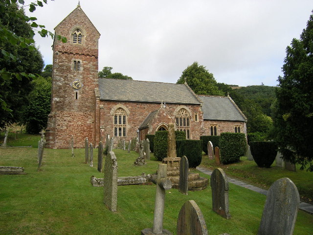
Wootton Courtenay
Wootton Courtenay is a village and civil parish on Exmoor in the Somerset West and Taunton district of Somerset, England. The parish includes the hamlets...

Chapel of St Leonard, Tivington
The Anglican Chapel of St Leonard in Tivington, Somerset, England was built in the mid 14th century as a chapel of ease. It is a Grade II* listed building...

Dunster Park and Heathlands
Dunster Park and Heathlands (grid reference SS955441) is a 466.6 hectare biological Site of Special Scientific Interest in Somerset, notified in 2000....

Dovecot at Blackford Farm
The Dovecot At Blackford Farm in Selworthy on Exmoor within the English county of Somerset was probably built in the 11th century. It is a Grade II* listed...
Minehead Without
Minehead Without is a civil parish in the English county of Somerset, and within the Exmoor National Park. As its name suggests, the parish covers a rural...

Bratton Court
Bratton Court in the hamlet of Bratton within the parish of Minehead Without, Somerset, England was built as a manor house, with a 14th-century open hall...

Luccombe, Somerset
Luccombe or Luckham is a village and civil parish in the Exmoor National Park in the English county of Somerset. It at the foot of the moor's highest hill...

The Kildare Lodge Inn
The Kildare Lodge Inn in Minehead, Somerset, England, was built in 1905/6, and is located at 18 Townsend Road, to the south east of the town centre of...
Nearby Amenities
Located within 500m of 51.187291,-3.5181145Have you been to Knowle Brake?
Leave your review of Knowle Brake below (or comments, questions and feedback).