Buryhill Plantation

Wood, Forest in Somerset Somerset West and Taunton

England

Buryhill Plantation

Haddeo Valley Lady Harriet Acland's drive in the Haddeo valley near the village of Bury.
Haddeo Valley Credit: Philip Halling

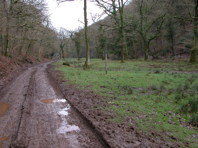
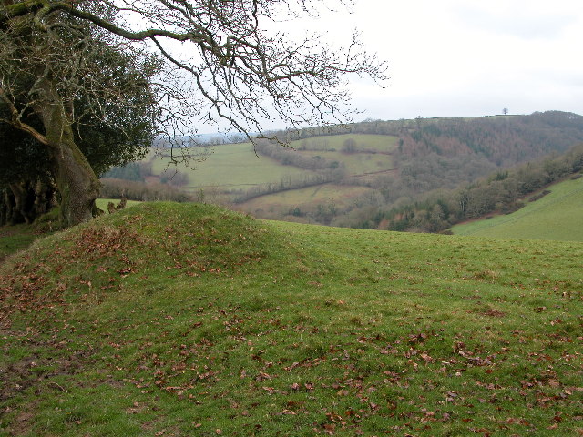
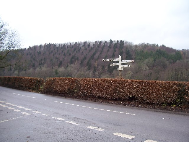
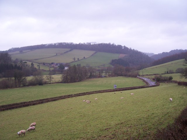
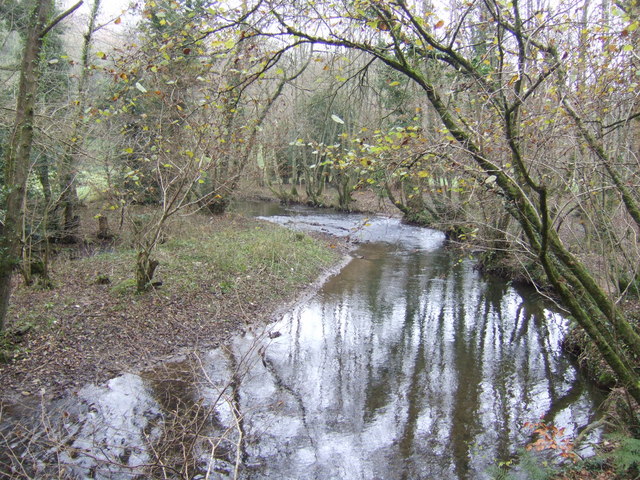
Buryhill Plantation is a picturesque woodland located in Somerset, England. Spanning over an area of approximately 300 acres, it is a notable landmark in the region. The plantation is situated on the southern slopes of the Mendip Hills, offering breathtaking views of the surrounding countryside.

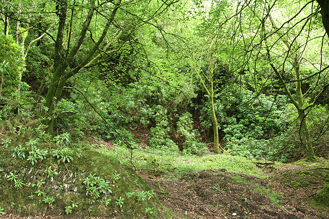
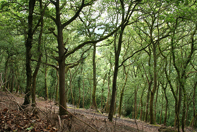
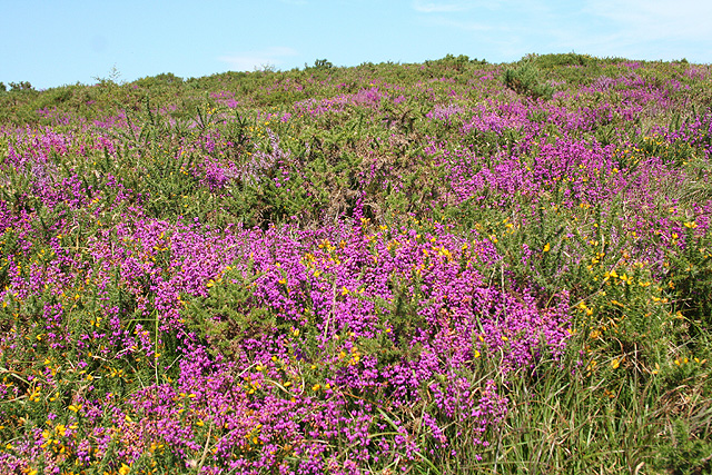
The woodland is predominantly made up of a variety of tree species, including oak, beech, and ash. These trees create a dense canopy, providing a habitat for a diverse range of flora and fauna. Bluebells, primroses, and wild garlic are among the many wildflowers that carpet the forest floor during the spring season, creating a vibrant and colorful display.

Buryhill Plantation is a haven for wildlife enthusiasts and nature lovers. The woodland is home to various bird species, such as woodpeckers, owls, and thrushes. Additionally, the plantation supports a thriving population of mammals, including deer, badgers, and foxes.

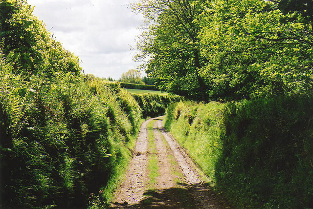
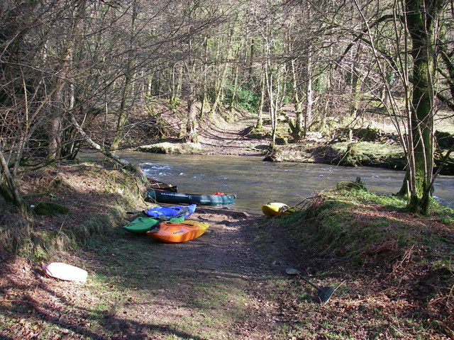
The woodland offers several walking trails, allowing visitors to explore its natural beauty at their own pace. These paths wind through the trees, offering glimpses of enchanting glades and secluded clearings. The plantation also features a picnic area, providing a tranquil spot for visitors to enjoy a packed lunch amidst the serene surroundings.

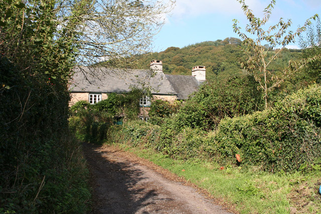
Buryhill Plantation holds significant historical importance as well. It was once part of a larger estate that dates back several centuries. Today, the plantation stands as a testament to the area's rich heritage and serves as a valuable resource for both locals and tourists seeking solace in nature.

If you have any feedback on the listing, please let us know in the comments section below.

Buryhill Plantation Images

Images are sourced within 2km of 51.039575/-3.5147352 or Grid Reference SS9327. Thanks to Geograph Open Source API. All images are credited.

Haddeo Valley Lady Harriet Acland's drive in the Haddeo valley near the village of Bury.
Haddeo Valley
Lady Harriet Acland's drive in the Haddeo valley near the village of Bury.
Bridge in village of Bury The bridge and ford crossing the River Haddeo in the village of Bury on Somerset.
Bridge in village of Bury
The bridge and ford crossing the River Haddeo in the village of Bury on Somerset.
Haddeo Valley The Haddeo valley viewed from the Haddon Lane, above the village of Bury.
Haddeo Valley
The Haddeo valley viewed from the Haddon Lane, above the village of Bury.
Dulverton: track running south to Jury Cross The track appears to head towards Pixton Park, just beyond Jury Cross
Dulverton: track running south to Jury Cross
The track appears to head towards Pixton Park, just beyond Jury Cross
Brompton Regis: ford and packhorse bridge at Bury Crossing the river Haddeo, a tributary of the Exe
Brompton Regis: ford and packhorse bridge at Bury
Crossing the river Haddeo, a tributary of the Exe
Brompton Regis: Hunt’s Farm The farm offers bed and breakfast and has organic eggs for sale
Brompton Regis: Hunt’s Farm
The farm offers bed and breakfast and has organic eggs for sale
Bury Cross The junction of 'Bury Cross', looking west towards Pixton Hill.
Bury Cross
The junction of 'Bury Cross', looking west towards Pixton Hill.
Machine Cross The road junction 'Machine Cross', and the Exe valley. The river Exe flows south along the far (western) edge of the valley floor.
Machine Cross
The road junction 'Machine Cross', and the Exe valley. The river Exe flows south along the far (western) edge of the valley floor.
Dulverton: Bath Meadow Drive Looking north-north-west amongst bungalows
Dulverton: Bath Meadow Drive
Looking north-north-west amongst bungalows
Dulverton: entrance to Pixton Park House There are several entrances to the private estate, of which this is one. Some of the others have lodges or gatehouses. Looking west-north-west
Dulverton: entrance to Pixton Park House
There are several entrances to the private estate, of which this is one. Some of the others have lodges or gatehouses. Looking west-north-west
Brompton Regis: the A396 in the Exe Valley River and road adjoin. Looking west-south-west on the edge of Brockhole Wood
Brompton Regis: the A396 in the Exe Valley
River and road adjoin. Looking west-south-west on the edge of Brockhole Wood
Brompton Regis: old quarry On Bury Hill by the road from Machine Cross, and now populated with rhododendrons. Looking north east
Brompton Regis: old quarry
On Bury Hill by the road from Machine Cross, and now populated with rhododendrons. Looking north east
Brompton Regis: Barlynch Wood A hanging wood in the Exe valley. Looking south-south-west
Brompton Regis: Barlynch Wood
A hanging wood in the Exe valley. Looking south-south-west
Dulverton: the Exe above Helebridge Looking north-north-east towards Barlynch Wood
Dulverton: the Exe above Helebridge
Looking north-north-east towards Barlynch Wood
Brompton Regis: heather on Haddon Hill Looking north
Brompton Regis: heather on Haddon Hill
Looking north
River Haddeo near Bury, Somerset View downstream near to the point where it meets up with the Exe.
River Haddeo near Bury, Somerset
View downstream near to the point where it meets up with the Exe.
River Haddeo - upstream A meander presents itself nicely by the minor road to Bury enabling an up- and downstream shot from the same spot!
River Haddeo - upstream
A meander presents itself nicely by the minor road to Bury enabling an up- and downstream shot from the same spot!
Ford over the Exe A ford where a private track crosses the river Exe
Ford over the Exe
A ford where a private track crosses the river Exe
Show me another place!

Buryhill Plantation is located at Grid Ref: SS9327 (Lat: 51.039575, Lng: -3.5147352)

Administrative County: Somerset

District: Somerset West and Taunton

Police Authority: Avon and Somerset

What 3 Words

///obstruct.tidying.reduction. Near Dulverton, Somerset

Related Wikis

Bury Bridge

Bury Bridge at Bury in the parish of Brompton Regis within the English county of Somerset is a medieval packhorse bridge. It has been scheduled as an ancient...

Bury Castle, Brompton Regis

Bury Castle near Brompton Regis in the English county of Somerset was an Iron Age univallate hillfort which was reused with the creation of a motte after...
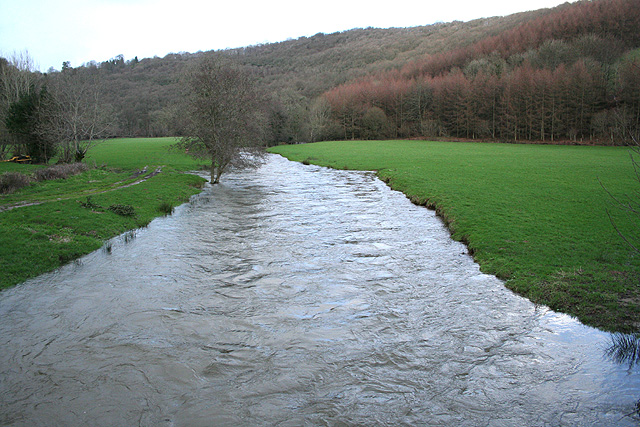
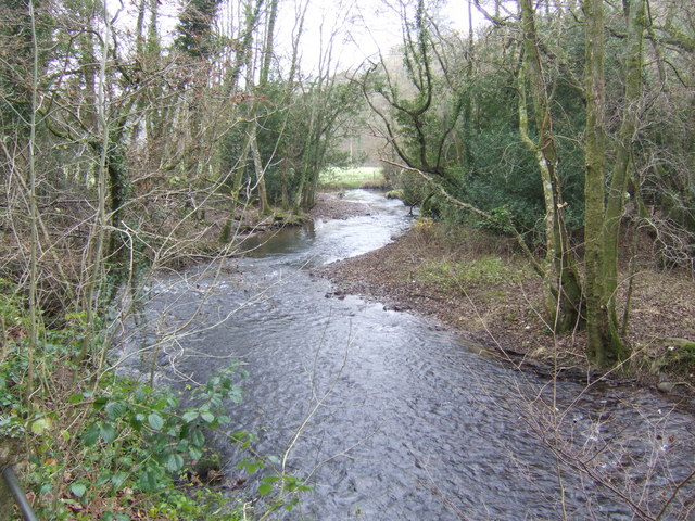
River Haddeo

The River Haddeo on Exmoor in Somerset, England flows from the Wimbleball Lake to the River Exe. The valley of the river consists of three tributary valleys...

Barlynch Priory

Barlynch Priory (also known as St Nicholas's Priory and sometimes spelled Barlich Priory) in Brompton Regis, Somerset, England was an Augustinian priory...

Church of All Saints, Dulverton

The Anglican Church of All Saints in Dulverton, Somerset, England was built in the 15th century and largely rebuilt in the 1850s. It is a Grade II* listed...

Haddon Hill

Haddon Hill is a prominent east–west aligned ridge in west Somerset, England, close to Hartford within the civil parish of Brompton Regis. It lies on the...

Dulverton Rural District

Dulverton was a rural district in Somerset, England, from 1894 to 1974. It was created in 1894 under the Local Government Act 1894. In 1974 it was abolished...

Dulverton Town Hall

Dulverton Town Hall is a municipal building in Fore Street in Dulverton, Somerset, England. The building, which is the meeting place of Dulverton Town...

Nearby Amenities

Located within 500m of 51.039575,-3.5147352
Machine Cross
Junction: yes
Lat/Long: 51.0382821/-3.5187461
Hele Plantation
Place: locality
Lat/Long: 51.0420474/-3.5192601
The data included in this document is from www.openstreetmap.org. The data is made available under ODbL.

Have you been to Buryhill Plantation?

Leave your review of Buryhill Plantation below (or comments, questions and feedback).