Cleeve Copse
Wood, Forest in Somerset Somerset West and Taunton
England
Cleeve Copse
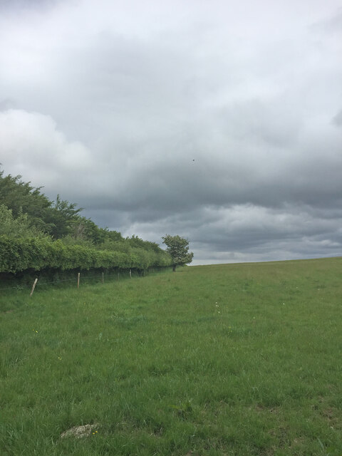
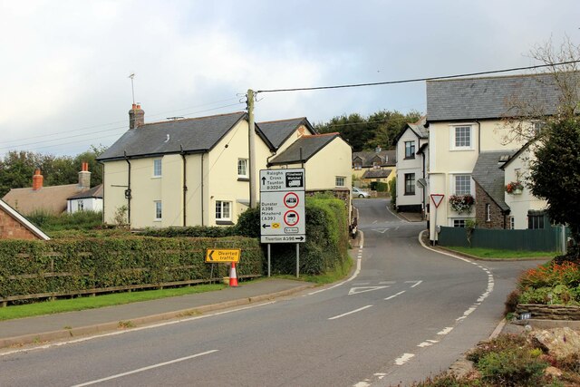
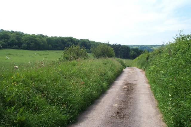
Cleeve Copse is a picturesque woodland located in Somerset, England. Covering an area of approximately 50 acres, it is nestled within the Mendip Hills, a designated Area of Outstanding Natural Beauty. The copse is situated near the village of Cleeve, just a few miles south of the town of Bristol.
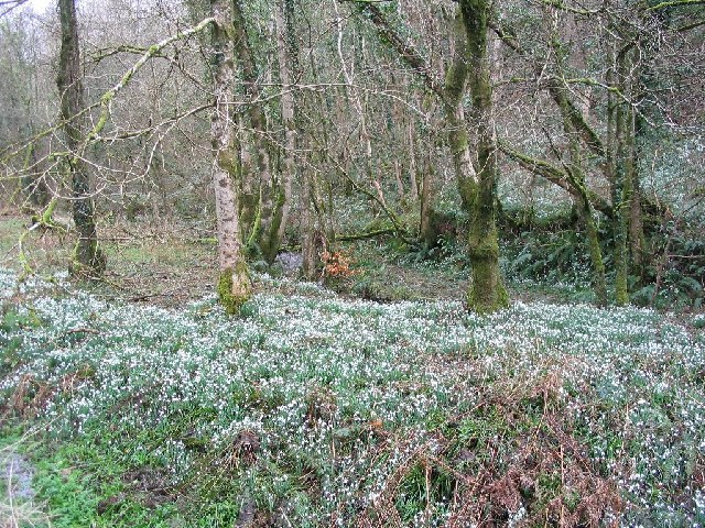
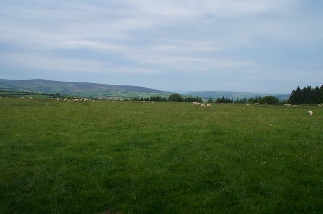
The woodland is predominantly composed of native broadleaf trees, including oak, ash, beech, and hazel. These trees create a dense canopy that provides a habitat for a diverse range of wildlife. Visitors to Cleeve Copse can expect to encounter various bird species, such as woodpeckers, owls, and songbirds, as well as small mammals like foxes, badgers, and squirrels.
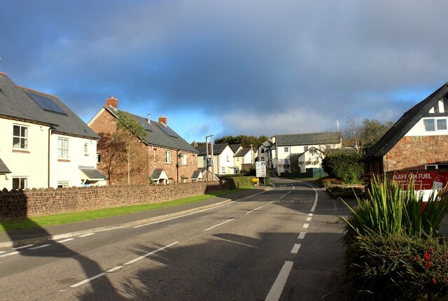
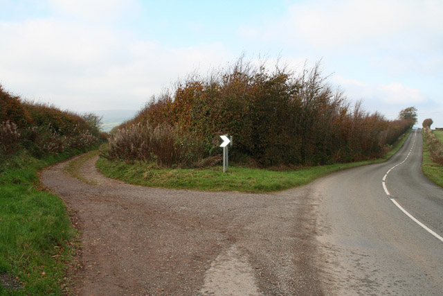
The copse is crisscrossed by a network of well-maintained footpaths, making it easily accessible for walkers and nature enthusiasts. These paths meander through the woodland, offering visitors the opportunity to explore its natural beauty and discover its hidden treasures. Throughout the year, the copse displays an array of vibrant colors, from the fresh greens of spring to the fiery reds and oranges of autumn.
Cleeve Copse is a popular destination for both locals and tourists seeking tranquility and a connection with nature. It provides a peaceful retreat away from the hustle and bustle of everyday life, allowing visitors to immerse themselves in the sights, sounds, and scents of the woodland. Whether it is a leisurely stroll, a family picnic, or birdwatching, Cleeve Copse offers a truly enchanting experience for all who venture into its embrace.
If you have any feedback on the listing, please let us know in the comments section below.
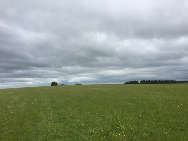
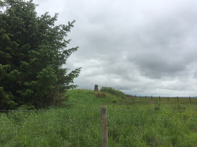
Cleeve Copse Images
Images are sourced within 2km of 51.132905/-3.5214466 or Grid Reference SS9338. Thanks to Geograph Open Source API. All images are credited.

Cleeve Copse is located at Grid Ref: SS9338 (Lat: 51.132905, Lng: -3.5214466)
Administrative County: Somerset
District: Somerset West and Taunton
Police Authority: Avon and Somerset
What 3 Words
///chitchat.tops.stuffy. Near Minehead, Somerset
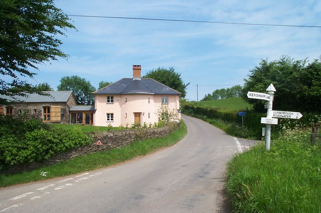
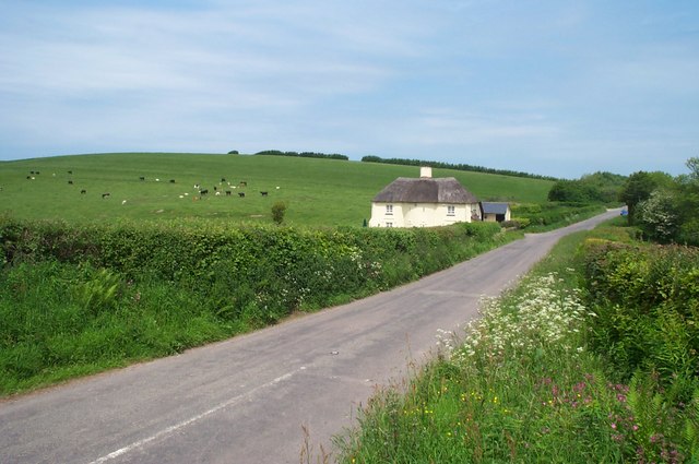
Nearby Locations
Related Wikis

Cutcombe
Cutcombe is a village and civil parish 9 miles (14 km) south of Minehead and north of Dulverton straddling the ridge between Exmoor and the Brendon Hills...
Church of St John, Cutcombe
The Anglican Church of St John in Cutcombe, Somerset, England was built in the 13th and 14th centuries. It is a Grade II* listed building. == History... ==

Timberscombe
Timberscombe is a village and civil parish on the River Avill 2.5 miles (4 km) south-west of Dunster, and 5.5 miles (9 km) south of Minehead within the...

Brendon Hills
The Brendon Hills are a range of hills in west Somerset, England. The hills merge level into the eastern side of Exmoor and are included within the Exmoor...

Gupworthy railway station
Gupworthy (sometimes referred to as "Goosemoor") was originally intended as an intermediate station on the West Somerset Mineral Railway (WSMR), but neither...

St Mary's Church, Luxborough
The Anglican St Mary's Church at Luxborough within the English county of Somerset dates from the 13th century. It is a Grade II listed building.The chancel...

Luxborough
Luxborough is a small village and civil parish located some 6 miles (9.7 km) south of Dunster, lying amongst the Brendon Hills and the Exmoor National...

Garratts Wood
Garratts Wood is a woodland in Somerset, England, near the village of Winsford. It covers a total area of 1.11 hectares (2.74 acres). It is owned and managed...
Nearby Amenities
Located within 500m of 51.132905,-3.5214466Have you been to Cleeve Copse?
Leave your review of Cleeve Copse below (or comments, questions and feedback).