Barehills Wood
Wood, Forest in Devon Mid Devon
England
Barehills Wood
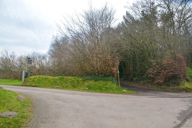
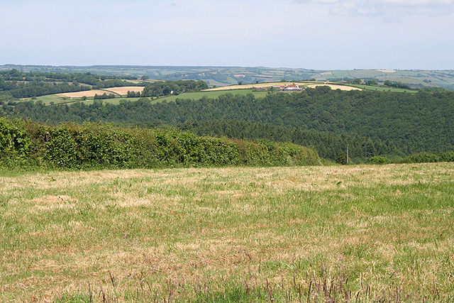
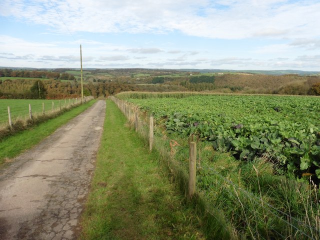
Barehills Wood is a picturesque forest located in the county of Devon, England. Spread across an area of approximately 50 acres, it is nestled amidst the rolling hills and lush green landscapes of the region. The wood is situated near the village of Barehills, from which it derives its name.
The wood is predominantly comprised of deciduous trees, including oak, beech, and ash, which create a vibrant and diverse ecosystem. The dense canopy of these towering trees provides a cool and shaded environment, making it an ideal retreat for nature enthusiasts and hikers seeking respite from the summer heat.
Walking through the wood, visitors can enjoy a variety of flora and fauna. Bluebells carpet the forest floor in spring, creating a breathtaking display of color, while in autumn, the trees transform into a stunning palette of reds, oranges, and yellows. The wood is also home to a wide range of wildlife, including deer, squirrels, and numerous bird species, providing ample opportunities for wildlife spotting and birdwatching.
There are several well-marked trails that wind through the wood, allowing visitors to explore its natural beauty and discover hidden gems along the way. These paths cater to both casual walkers and more experienced hikers, offering a range of difficulty levels and distances.
Overall, Barehills Wood offers a tranquil and enchanting escape into nature, providing a haven for outdoor enthusiasts and a chance to immerse oneself in the natural beauty of Devon's woodlands.
If you have any feedback on the listing, please let us know in the comments section below.
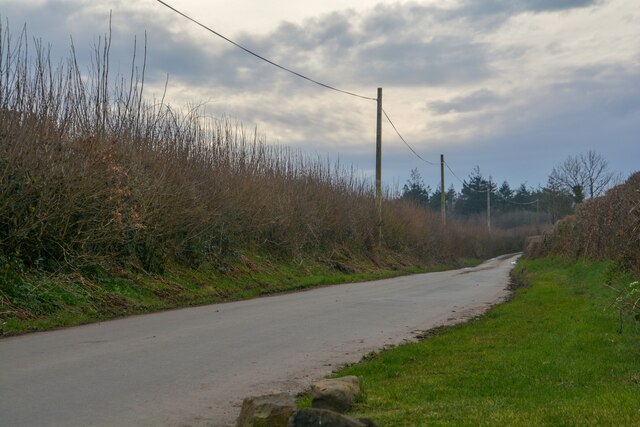
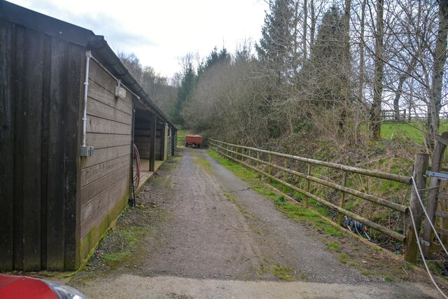
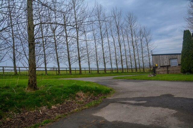
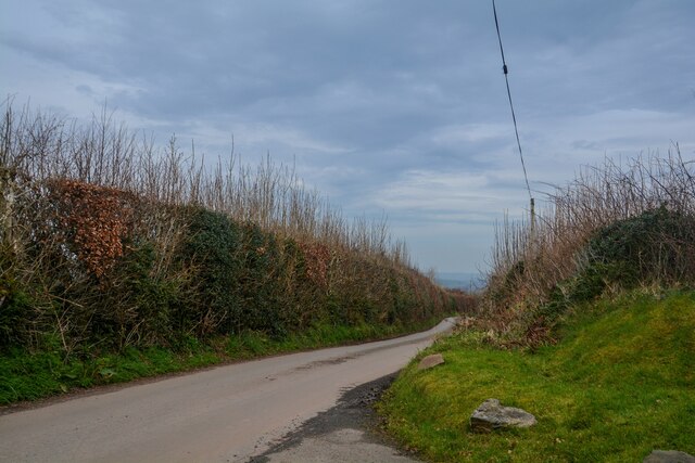
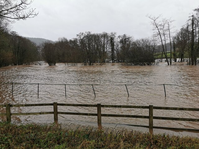
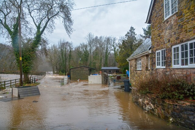
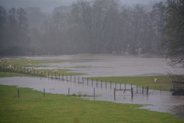
Barehills Wood Images
Images are sourced within 2km of 50.955059/-3.5182782 or Grid Reference SS9318. Thanks to Geograph Open Source API. All images are credited.


Barehills Wood is located at Grid Ref: SS9318 (Lat: 50.955059, Lng: -3.5182782)
Administrative County: Devon
District: Mid Devon
Police Authority: Devon and Cornwall
What 3 Words
///confusion.dove.wardrobe. Near Tiverton, Devon
Nearby Locations
Related Wikis

Castle Close
Castle Close is a circular earthwork located near Stoodleigh in Mid Devon, England at OS grid reference SS937181. It is described on maps as a settlement...

Stoodleigh
Stoodleigh is a village and civil parish in the Mid Devon district of Devon, England, located 6 miles (10 km) north of Tiverton and 5 miles (8 km) south...

Cove, Devon
Cove is a small village in the county of Devon, England. It is 4 miles north of Tiverton and 2 miles from Bampton in the Exe Valley some 450 feet above...

Washfield
Washfield is a village, parish and former manor in Devon, England, situated about 2 miles north-west of Tiverton. The parish church is dedicated to St...

River Batherm
The River Batherm is a river which flows through Somerset and Devon in England. The river rises on high ground near the village of Sperry Barton, between...

Loxbeare
Loxbeare is a village and civil parish in Devon, England. The church is from the twelfth century and the tower is probably Norman. It is dedicated to St...

Oakfordbridge
Oakfordbridge is a village in Devon, England. == References == The geographic coordinates are from the Ordnance Survey. == External links == Media related...

Oakford, Devon
Oakford is a village and civil parish in the Mid Devon district of Devon, England. It is located three miles (5 km) south west of Bampton and eight miles...
Related Videos
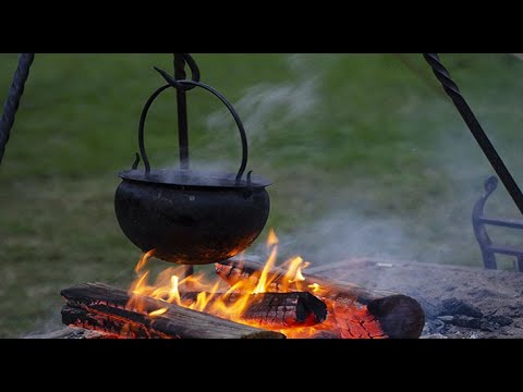
Cooking Hobo Stew
Cooking a delicious stew, with minimal ingrediants on a Ikea hobo stove.

Hitting cove on the eebs
It's here the new rig. There will be a bike video and maiden voyage video to follow but here's a rip round the local with Jordan and ...
Long Hill Washfield Tiverton Devon
3 Bedroom Farm House situated on 5.5acres with large barn and out buildings offering enormous potential to further develop.
Nearby Amenities
Located within 500m of 50.955059,-3.5182782Have you been to Barehills Wood?
Leave your review of Barehills Wood below (or comments, questions and feedback).