Bottom Copse
Wood, Forest in Somerset Somerset West and Taunton
England
Bottom Copse
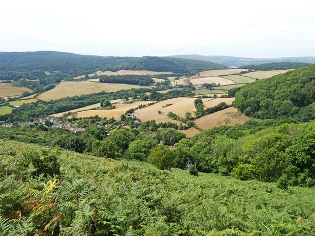
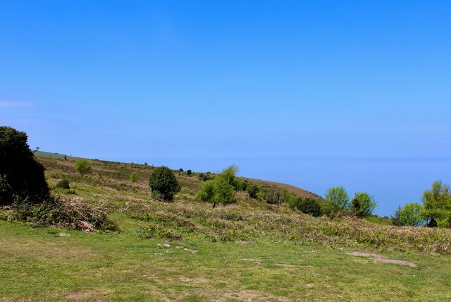
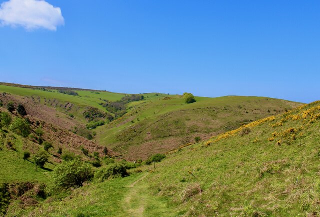
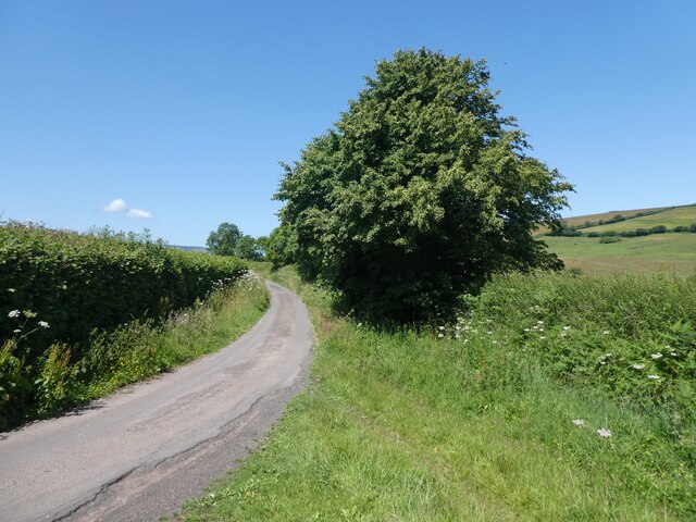
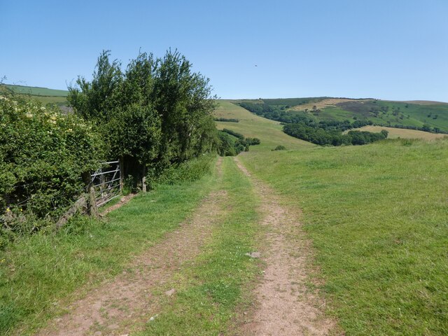
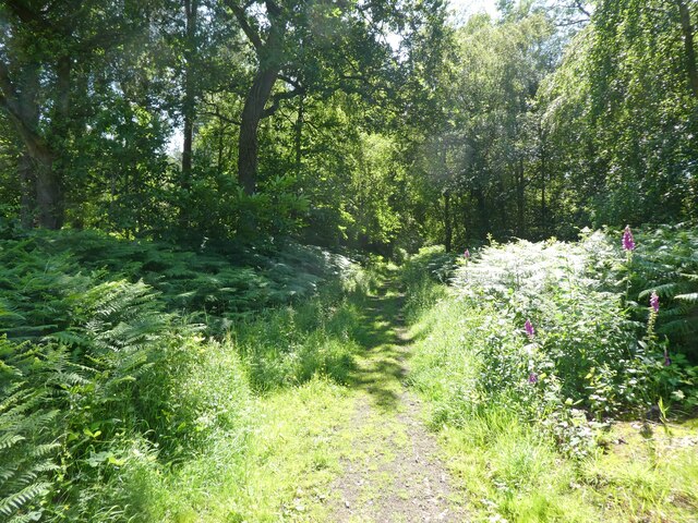
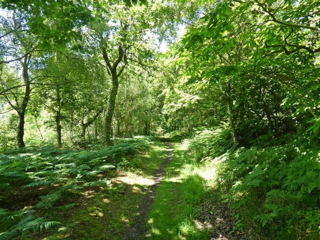
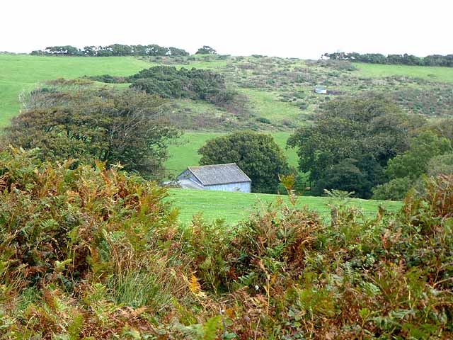
Bottom Copse is a charming woodland located in the county of Somerset, England. Covering an area of approximately 50 acres, this dense forest is a haven for nature enthusiasts and outdoor enthusiasts alike. Situated near the village of Somerset, the copse is easily accessible and offers a tranquil escape from the hustle and bustle of everyday life.
The woodland itself is a mix of deciduous and coniferous trees, creating a diverse ecosystem that supports a wide range of wildlife. The towering oak and beech trees provide a picturesque backdrop, especially during the autumn months when the leaves turn vibrant shades of red and gold. Visitors can expect to spot various bird species, including woodpeckers and owls, as well as small mammals such as squirrels and rabbits.
The copse is crisscrossed with a network of well-maintained walking trails, allowing visitors to explore the forest at their own pace. These trails offer stunning views of the surrounding countryside and provide opportunities for photography and nature observation. Additionally, the copse is home to a small stream that meanders through the woodland, adding to its natural charm.
Bottom Copse is a popular destination for outdoor activities such as hiking, picnicking, and wildlife spotting. It also serves as an educational resource, with guided tours and nature walks organized throughout the year. Whether you're a nature lover, a photographer, or simply seeking a peaceful retreat, Bottom Copse is a must-visit destination in Somerset, offering a truly enchanting experience surrounded by the beauty of nature.
If you have any feedback on the listing, please let us know in the comments section below.
Bottom Copse Images
Images are sourced within 2km of 51.213066/-3.5324636 or Grid Reference SS9347. Thanks to Geograph Open Source API. All images are credited.


Bottom Copse is located at Grid Ref: SS9347 (Lat: 51.213066, Lng: -3.5324636)
Administrative County: Somerset
District: Somerset West and Taunton
Police Authority: Avon and Somerset
What 3 Words
///fire.imperious.deluded. Near Minehead, Somerset
Nearby Locations
Related Wikis
East Myne
East Myne is a univallate Iron Age hill fort enclosure in the West Somerset district of Somerset, England. The hill fort is situated approximately 1.1...

Bury Castle, Selworthy
Bury Castle is an Iron Age hillfort near Selworthy, Somerset, England. It has been designated as a scheduled monument. == History == Bury Castle was built...

Selworthy
Selworthy is a small village and civil parish 5 kilometres (3 mi) from Minehead in Somerset, England. It is located in the National Trust's Holnicote Estate...
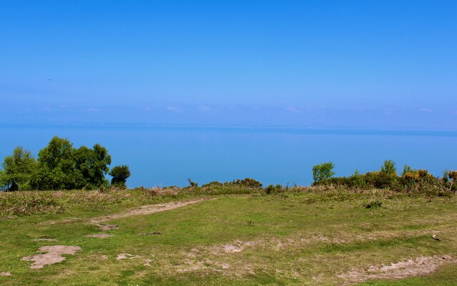
Selworthy Beacon
Selworthy Beacon is a hill and Marilyn of Exmoor in Somerset, England. It lies within the boundaries of Exmoor National Park, to the north of the village...

Bratton Court
Bratton Court in the hamlet of Bratton within the parish of Minehead Without, Somerset, England was built as a manor house, with a 14th-century open hall...

Minehead Without
Minehead Without is a civil parish in the English county of Somerset, and within the Exmoor National Park. As its name suggests, the parish covers a rural...

Dovecot at Blackford Farm
The Dovecot At Blackford Farm in Selworthy on Exmoor within the English county of Somerset was probably built in the 11th century. It is a Grade II* listed...

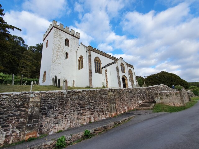
Chapel of St Leonard, Tivington
The Anglican Chapel of St Leonard in Tivington, Somerset, England was built in the mid 14th century as a chapel of ease. It is a Grade II* listed building...
Related Videos

A Coastal Hiking Trip, Part XLIII, Day 4, 'A Gentle & Weary Descent Thru Minehead Wood'by Sheila, Ju
The sight of the Wood was good and marked that the end of the hike was almost complete---a gentle reflective walk among the ...

Walk From Porlock to Selworthy Tea Rooms, Somerset, UK.
Walk from Porlock salt marshes to Selworthy, specifically the Periwinkle Tea Rooms which are in a beautiful National Trust ...
Exploring Selworthy of 1851 to 1857. The National Trust's Holnicote Estates timeless rural landscape
What was 1850s Selworthy like? The buildings, the people, the events. We explore the thatched village on the north of Exmoor ...
Nearby Amenities
Located within 500m of 51.213066,-3.5324636Have you been to Bottom Copse?
Leave your review of Bottom Copse below (or comments, questions and feedback).