Clapgate
Settlement in Dorset
England
Clapgate
The requested URL returned error: 429 Too Many Requests
If you have any feedback on the listing, please let us know in the comments section below.
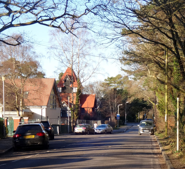
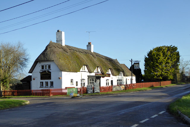
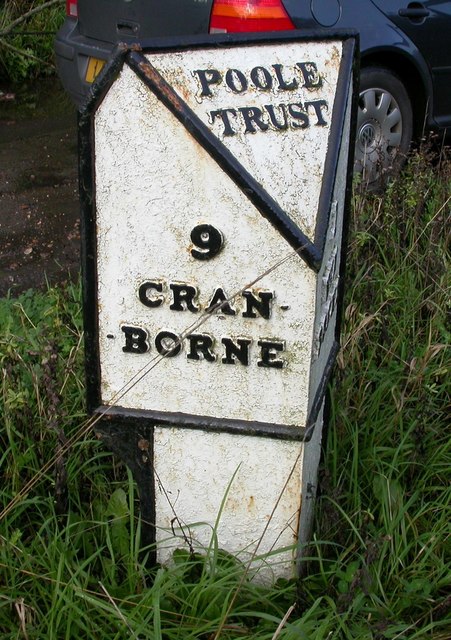
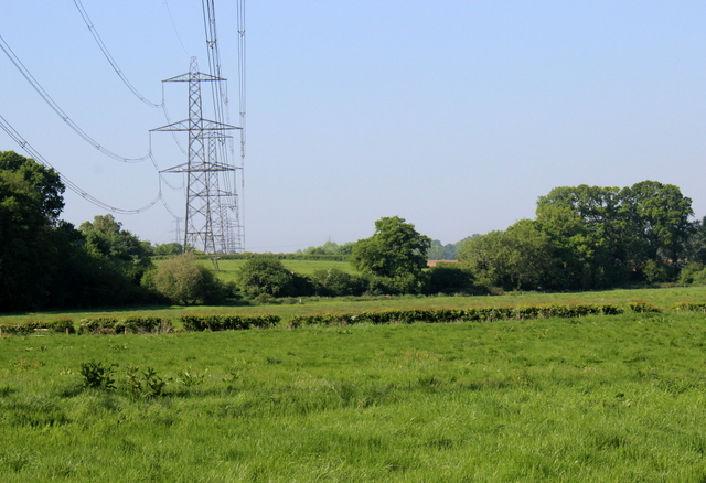
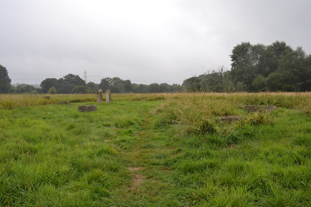
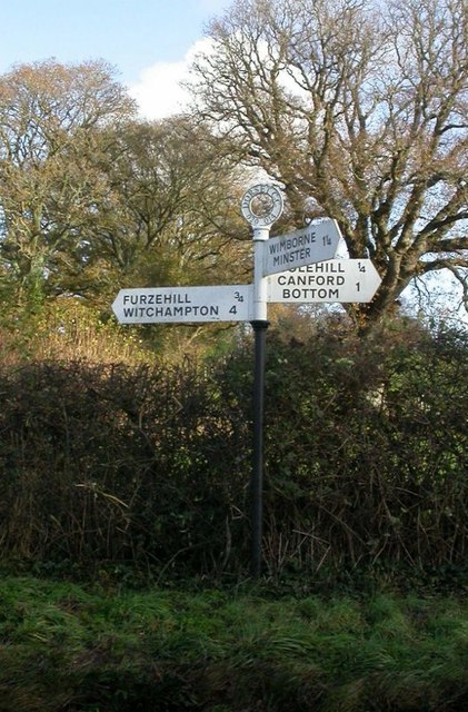
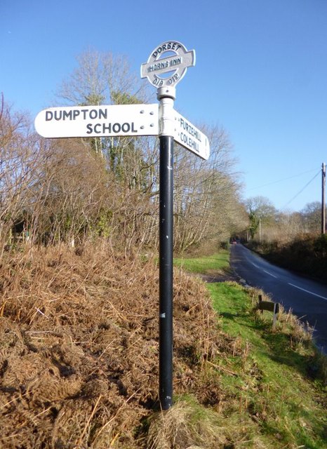
Clapgate Images
Images are sourced within 2km of 50.821708/-1.9844174 or Grid Reference SU0102. Thanks to Geograph Open Source API. All images are credited.


Clapgate is located at Grid Ref: SU0102 (Lat: 50.821708, Lng: -1.9844174)
Unitary Authority: Dorset
Police Authority: Dorset
What 3 Words
///taskbar.square.judges. Near Wimborne Minster, Dorset
Nearby Locations
Related Wikis

East Dorset
East Dorset was a local government district in Dorset, England. Its council met in Wimborne Minster between 2016 and 2019.The district (as Wimborne) was...

Furzehill Wood
Furzehill Wood is a woodland near Colehill in Dorset, England. It covers a total area of 0.84 hectares (2.08 acres). It is owned and managed by the Woodland...

Dumpton School
Dumpton School is an independent day school in Wimborne, Dorset, South West England, for girls and boys aged 2 to 13 years. == History == The school was...
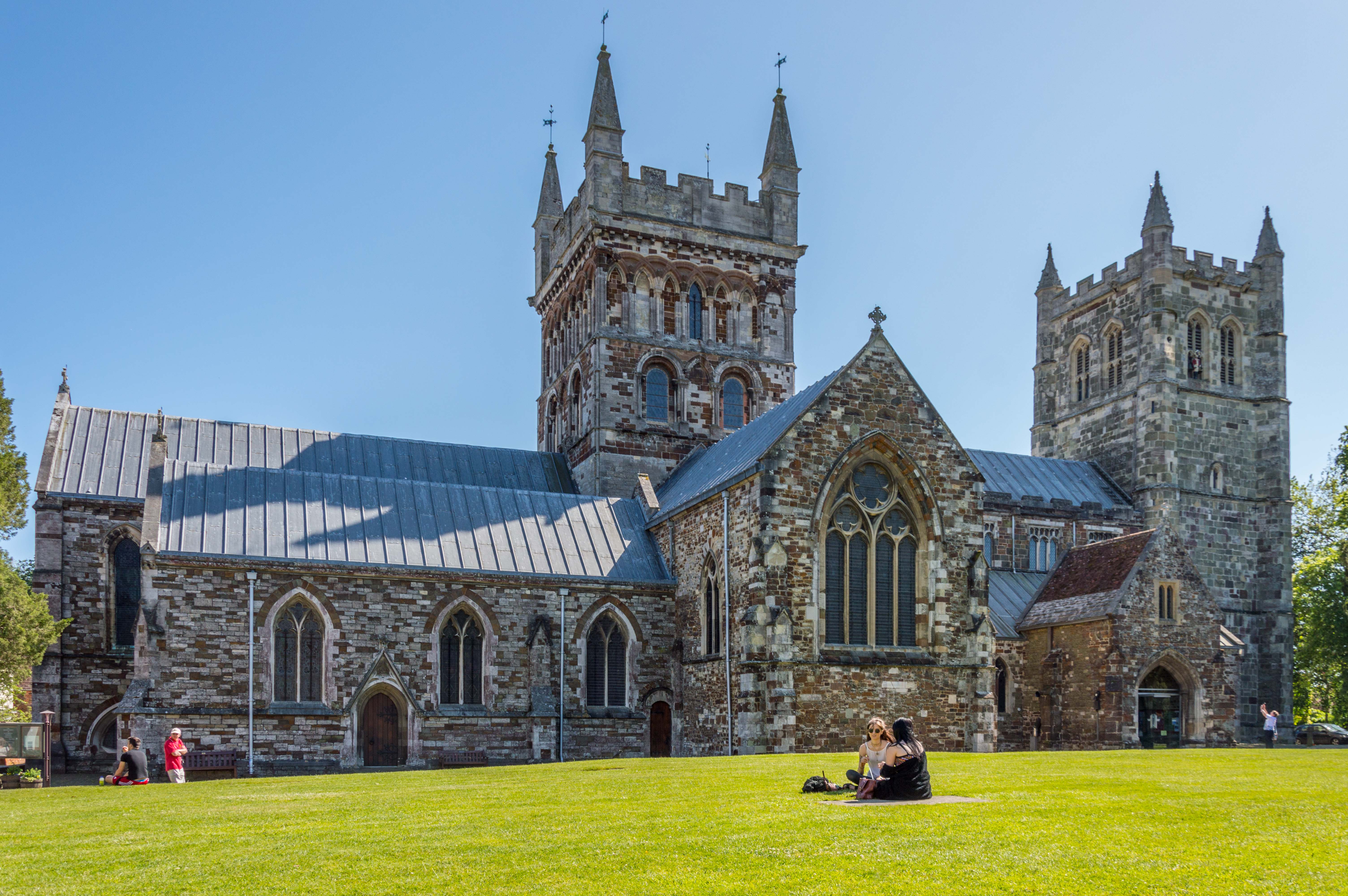
Wimborne Minster
Wimborne Minster (often referred to as Wimborne, ) is a market town in Dorset in South West England, and the name of the Church of England church in that...
Nearby Amenities
Located within 500m of 50.821708,-1.9844174Have you been to Clapgate?
Leave your review of Clapgate below (or comments, questions and feedback).