Ashdown Plantation
Wood, Forest in Devon Mid Devon
England
Ashdown Plantation
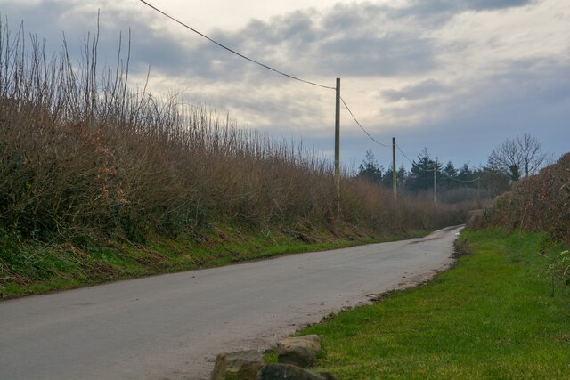
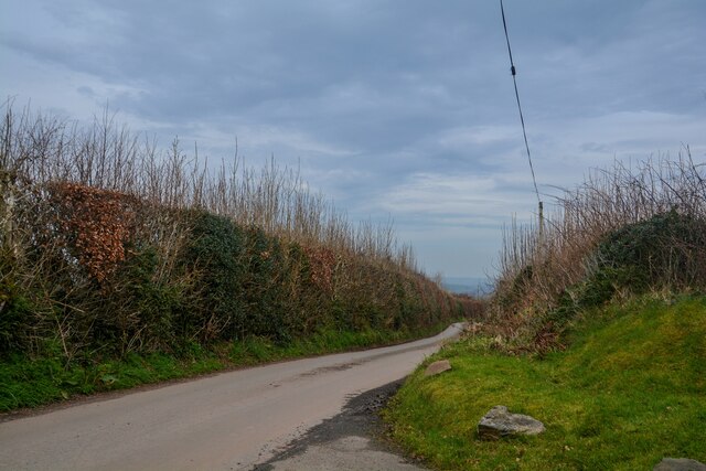
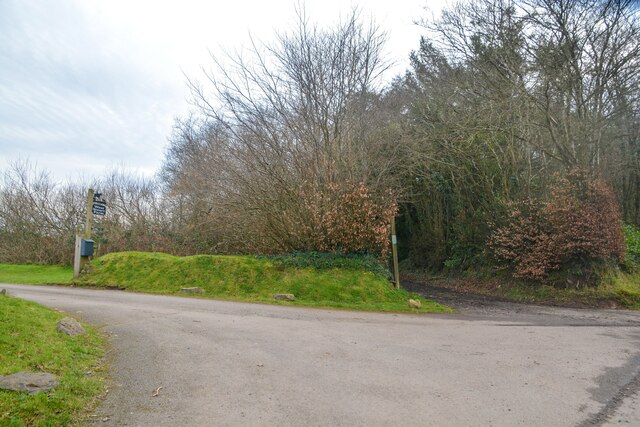
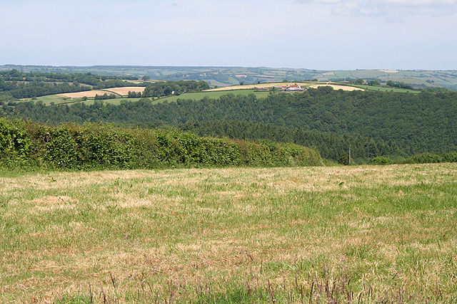
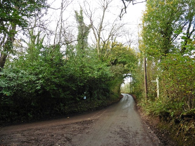
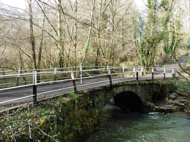
Ashdown Plantation, located in Devon, England, is a picturesque woodland area renowned for its breathtaking beauty and rich biodiversity. Covering a sprawling expanse of approximately 500 acres, it is considered one of the largest and most well-preserved forests in the region. The plantation predominantly consists of native broadleaf trees, including oak, beech, and birch, which create a dense canopy, providing a unique habitat for various flora and fauna.
The woodland boasts a diverse range of plant species, such as bluebells, wild garlic, and wood sorrel, which carpet the forest floor during the spring months, creating a vibrant and enchanting landscape. The plantation is also home to a myriad of bird species, including woodpeckers, owls, and warblers, which thrive in the woodland's tranquil environment.
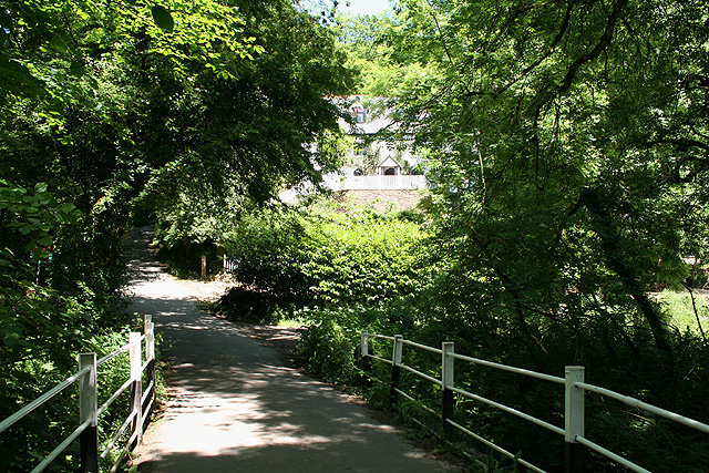
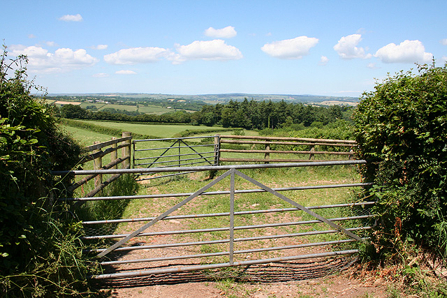
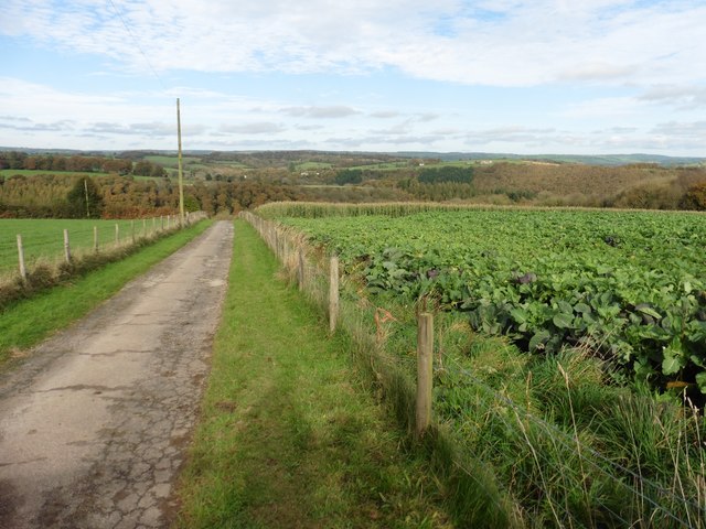
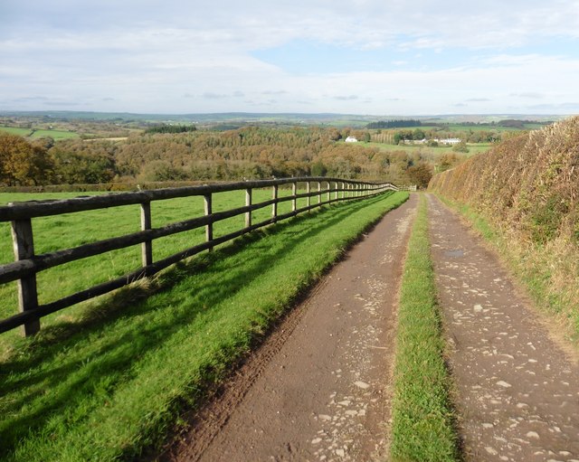
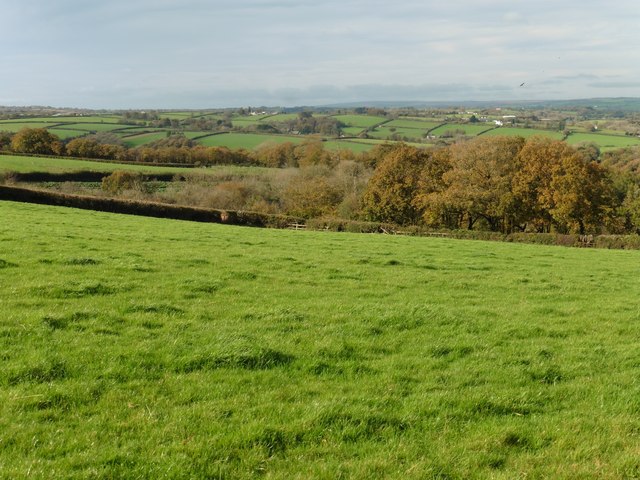
Ashdown Plantation offers visitors a multitude of recreational activities, making it a popular destination for nature enthusiasts and outdoor adventurers alike. Numerous walking trails wind through the forest, allowing visitors to explore the natural wonders at their own pace. The plantation also features designated picnic areas, providing an idyllic setting for a leisurely lunch amidst the beauty of nature.
In addition to its natural charm, Ashdown Plantation holds historical significance, with traces of ancient settlements and archaeological sites scattered throughout the woodland. These remnants serve as a reminder of the area's rich cultural heritage and offer a glimpse into the lives of those who once inhabited the region.
Overall, Ashdown Plantation in Devon is a captivating destination that seamlessly blends natural beauty, abundant wildlife, and historical significance, making it a must-visit location for nature lovers and history enthusiasts alike.
If you have any feedback on the listing, please let us know in the comments section below.
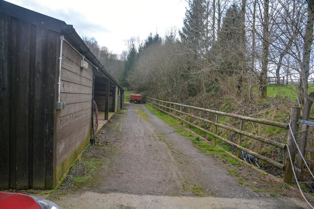
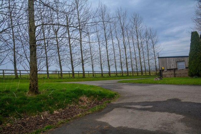
Ashdown Plantation Images
Images are sourced within 2km of 50.965123/-3.5306401 or Grid Reference SS9219. Thanks to Geograph Open Source API. All images are credited.


Ashdown Plantation is located at Grid Ref: SS9219 (Lat: 50.965123, Lng: -3.5306401)
Administrative County: Devon
District: Mid Devon
Police Authority: Devon and Cornwall
What 3 Words
///bulbs.noting.oasis. Near Tiverton, Devon
Nearby Locations
Related Wikis

Stoodleigh
Stoodleigh is a village and civil parish in the Mid Devon district of Devon, England, located 6 miles (10 km) north of Tiverton and 5 miles (8 km) south...

Castle Close
Castle Close is a circular earthwork located near Stoodleigh in Mid Devon, England at OS grid reference SS937181. It is described on maps as a settlement...

Oakford, Devon
Oakford is a village and civil parish in the Mid Devon district of Devon, England. It is located three miles (5 km) south west of Bampton and eight miles...

Oakfordbridge
Oakfordbridge is a village in Devon, England. == References == The geographic coordinates are from the Ordnance Survey. == External links == Media related...

Cove, Devon
Cove is a small village in the county of Devon, England. It is 4 miles north of Tiverton and 2 miles from Bampton in the Exe Valley some 450 feet above...

River Batherm
The River Batherm is a river which flows through Somerset and Devon in England. The river rises on high ground near the village of Sperry Barton, between...

Washfield
Washfield is a village, parish and former manor in Devon, England, situated about 2 miles north-west of Tiverton. The parish church is dedicated to St...

Loxbeare
Loxbeare is a village and civil parish in Devon, England. The church is from the twelfth century and the tower is probably Norman. It is dedicated to St...
Have you been to Ashdown Plantation?
Leave your review of Ashdown Plantation below (or comments, questions and feedback).