Castleland Copse

Wood, Forest in Devon Mid Devon

England

Castleland Copse

Oakford: near Ford Farm On a public footpath towards East Mildon. Looking west-north-west. It should be noted, perhaps, that the present day Ford Farm has been built near High Bolham and is not at the place shown on the 1940s Ordnance Survey map. The old building was being converted to a private house recently. The old farm had a remote barn which contained a water-powered threshing machine. By 2003 the waterwheel had gone but the course of the leat was still apparent
Oakford: near Ford Farm Credit: Martin Bodman

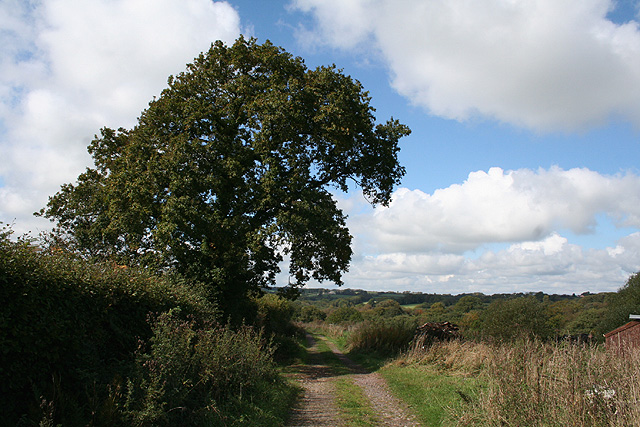
Castleland Copse, located in the county of Devon, is a picturesque wood situated in the southwestern part of England. This enchanting forest spans an area of approximately 50 acres and is renowned for its natural beauty and diverse wildlife.

The copse is characterized by a dense canopy of towering oak, beech, and ash trees, providing a serene and tranquil atmosphere for visitors. The forest floor is covered with a rich carpet of moss, ferns, and wildflowers, creating a vibrant tapestry of colors throughout the year.

Castleland Copse is home to a wide variety of wildlife, including deer, badgers, foxes, and numerous bird species. Birdwatchers will be delighted to spot species such as woodpeckers, owls, and thrushes in their natural habitat. The copse also features a small stream that meanders through its heart, adding to the overall charm of the woodland.

Visitors can explore Castleland Copse through a network of well-maintained walking trails, which wind their way through the forest, offering breathtaking views and opportunities to observe the local flora and fauna up close. These paths are suitable for all levels of walkers, from beginners to experienced hikers.

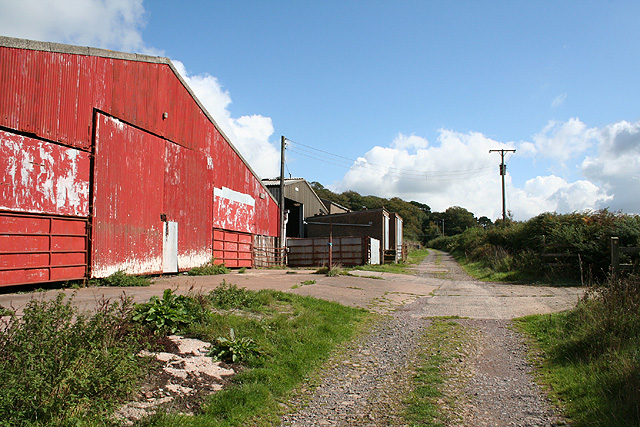
The copse is easily accessible, with a car park located nearby, and it is open to the public throughout the year. Whether you are seeking a peaceful stroll, a spot for a picnic, or a chance to immerse yourself in nature, Castleland Copse in Devon is a captivating destination that promises a truly unforgettable experience.

If you have any feedback on the listing, please let us know in the comments section below.

Castleland Copse Images

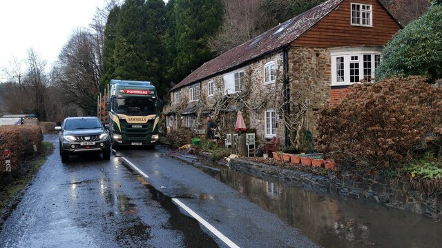
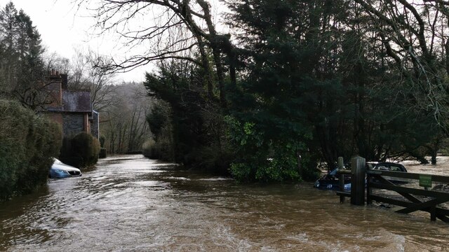
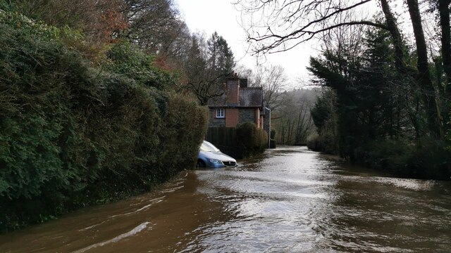
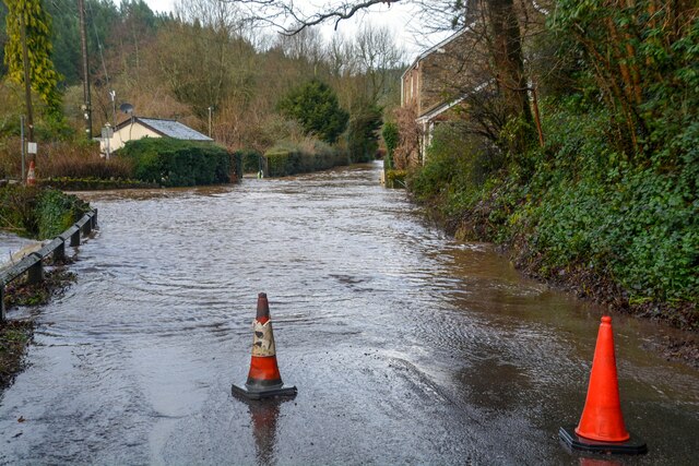
Images are sourced within 2km of 50.987027/-3.5438275 or Grid Reference SS9121. Thanks to Geograph Open Source API. All images are credited.

Oakford: near Ford Farm On a public footpath towards East Mildon. Looking west-north-west. It should be noted, perhaps, that the present day Ford Farm has been built near High Bolham and is not at the place shown on the 1940s Ordnance Survey map. The old building was being converted to a private house recently. The old farm had a remote barn which contained a water-powered threshing machine. By 2003 the waterwheel had gone but the course of the leat was still apparent
Oakford: near Ford Farm
On a public footpath towards East Mildon. Looking west-north-west. It should be noted, perhaps, that the present day Ford Farm has been built near High Bolham and is not at the place shown on the 1940s Ordnance Survey map. The old building was being converted to a private house recently. The old farm had a remote barn which contained a water-powered threshing machine. By 2003 the waterwheel had gone but the course of the leat was still apparent
Oakford: Ford Farm Barns by a track from Combe Water to High Bolham. Looking east-south-east
Oakford: Ford Farm
Barns by a track from Combe Water to High Bolham. Looking east-south-east
Bampton : The A396 Potholes in the road along the A639.
Bampton : The A396
Potholes in the road along the A639.
Bampton : The A396 Looking along the A396 and towards some large potholes in the road.
Bampton : The A396
Looking along the A396 and towards some large potholes in the road.
Bampton : Oakfordbridge - Highleigh Mill A bridge across to Highleigh Mill, but it doesn't look passable today due to the River Exe. Debris is also forming on the bridge.
Bampton : Oakfordbridge - Highleigh Mill
A bridge across to Highleigh Mill, but it doesn't look passable today due to the River Exe. Debris is also forming on the bridge.
Bampton : Oakfordbridge - Bark House Hotel Tea Garden Two scarecrows welcome people into the team garden, although it's a little damp today.
Bampton : Oakfordbridge - Bark House Hotel Tea Garden
Two scarecrows welcome people into the team garden, although it's a little damp today.
Bampton : Oakfordbridge - A396 Churches Fire security van braves the flooded road.
Bampton : Oakfordbridge - A396
Churches Fire security van braves the flooded road.
Bampton : Oakfordbridge - A396 The road passes The Bark House Hotel.
Bampton : Oakfordbridge - A396
The road passes The Bark House Hotel.
Bampton : Oakfordbridge - A396 Looking towards somebody crossing through the floodwaters.
Bampton : Oakfordbridge - A396
Looking towards somebody crossing through the floodwaters.
Bampton : Oakfordbridge - A396 The flooded A396 in Oakfordbridge.
Bampton : Oakfordbridge - A396
The flooded A396 in Oakfordbridge.
Bampton : Oakfordbridge - A396 The flooded A396 in Oakfordbridge.
Bampton : Oakfordbridge - A396
The flooded A396 in Oakfordbridge.
Bampton : Oakfordbridge - A396 Looking along the A396 where water has flooded the road.
Bampton : Oakfordbridge - A396
Looking along the A396 where water has flooded the road.
Bampton : Oakfordbridge - A396 A tractor passes through the floodwater.
Bampton : Oakfordbridge - A396
A tractor passes through the floodwater.
Bampton : Oakfordbridge - A396 The road has become impossible to pass at Oakfordbridge.
Bampton : Oakfordbridge - A396
The road has become impossible to pass at Oakfordbridge.
Bampton : Oakfordbridge - A396 Looking along the A396 which is closed due to flooding.
Bampton : Oakfordbridge - A396
Looking along the A396 which is closed due to flooding.
Bampton : The A396 The A396 at Black Cat Junction.
Bampton : The A396
The A396 at Black Cat Junction.
Oakford : Stuckeridge Bridge Road bridge over the River Exe. Probably early C19, C20 parapets. Dressed stone brought to course, steel parapet balustrades. 3-span bridge with segmental arches and cutwaters. Road and bridge not shown on 1809 OS map, probably a turnpike road and bridge.
Oakford : Stuckeridge Bridge
Road bridge over the River Exe. Probably early C19, C20 parapets. Dressed stone brought to course, steel parapet balustrades. 3-span bridge with segmental arches and cutwaters. Road and bridge not shown on 1809 OS map, probably a turnpike road and bridge.
Bampton : River Exe Looking across the flooded River Exe.
Bampton : River Exe
Looking across the flooded River Exe.
Show me another place!

Castleland Copse is located at Grid Ref: SS9121 (Lat: 50.987027, Lng: -3.5438275)

Administrative County: Devon

District: Mid Devon

Police Authority: Devon and Cornwall

What 3 Words

///suspends.axed.cabbages. Near Dulverton, Somerset

Related Wikis

Oakfordbridge

Oakfordbridge is a village in Devon, England. == References == The geographic coordinates are from the Ordnance Survey. == External links == Media related...

Oakford, Devon

Oakford is a village and civil parish in the Mid Devon district of Devon, England. It is located three miles (5 km) south west of Bampton and eight miles...

River Barle

The River Barle runs from the Chains on northern Exmoor, in Somerset, England to join the River Exe at Exebridge, Devon. The river and the Barle Valley...

Exebridge

Exebridge is a village that lies on the border between Devon and Somerset, England. It lies at the confluence of the Barle and Exe rivers. Exebridge is...

Nearby Amenities

Located within 500m of 50.987027,-3.5438275
Oakford Bridge
Place: village
Lat/Long: 50.9867415/-3.5396992
Hemslade Cross
Junction: yes
Source: OS_OpenData_StreetView
Lat/Long: 50.9836002/-3.5424002
Waterway: weir
Lat/Long: 50.9880368/-3.542223
Power: pole
Source: bing
Lat/Long: 50.9859462/-3.5430097
Power: pole
Source: bing
Lat/Long: 50.9837195/-3.5442328
Power: pole
Source: bing
Transformer: distribution
Lat/Long: 50.9827576/-3.543999
Power: pole
Source: bing
Lat/Long: 50.9849889/-3.5478658
Power: pole
Source: bing
Lat/Long: 50.9842602/-3.5480897
Power: pole
Source: bing
Lat/Long: 50.9843754/-3.5469212
Power: pole
Source: bing
Lat/Long: 50.9850078/-3.5433352
Power: pole
Source: bing
Lat/Long: 50.9847258/-3.543351
Power: pole
Source: bing
Lat/Long: 50.9846176/-3.5444722
Power: pole
Source: bing
Lat/Long: 50.9845015/-3.5456785
Power: pole
Source: bing
Lat/Long: 50.9877506/-3.5416463
Power: pole
Source: bing
Transformer: distribution
Lat/Long: 50.9884256/-3.5406591
Power: pole
Source: bing
Lat/Long: 50.989036/-3.5387936
Power: pole
Source: bing
Lat/Long: 50.9892634/-3.5378065
The data included in this document is from www.openstreetmap.org. The data is made available under ODbL.

Have you been to Castleland Copse?

Leave your review of Castleland Copse below (or comments, questions and feedback).