Allergroves Copse

Wood, Forest in Devon Mid Devon

England

Allergroves Copse

Field near Dunsaller Crossed by Thorverton footpath 3.
Field near Dunsaller Credit: Derek Harper

Allergroves Copse is a charming woodland located in Devon, a county in southwestern England. This picturesque woodland is nestled in the heart of the county, just a few miles away from the bustling town of Exeter. Covering an area of approximately 50 acres, Allergroves Copse is a haven of tranquility and natural beauty.

The copse is characterized by its diverse range of tree species, including oak, beech, ash, and birch. The majestic trees create a dense canopy, providing shelter and shade to the numerous wildlife species that call the copse their home. The forest floor is adorned with a rich carpet of wildflowers, ferns, and mosses, adding to the enchanting atmosphere of the woodland.

Nature enthusiasts flock to Allergroves Copse to indulge in activities such as birdwatching, nature walks, and photography. The copse is teeming with a plethora of bird species, including woodpeckers, owls, and warblers, making it a paradise for bird lovers. Visitors may also spot other wildlife, such as squirrels, rabbits, and deer, as they explore the winding trails that meander through the wood.

Allergroves Copse offers a peaceful respite from the hectic pace of modern life. Its serene ambiance, coupled with its natural beauty, makes it the perfect destination for those seeking solace in nature. Whether it's a leisurely stroll or an immersive exploration, Allergroves Copse promises an unforgettable experience for all who venture into its leafy embrace.

If you have any feedback on the listing, please let us know in the comments section below.

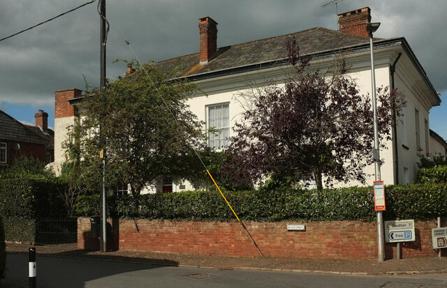
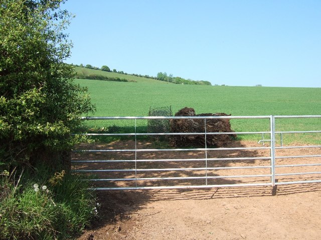
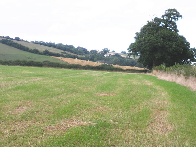
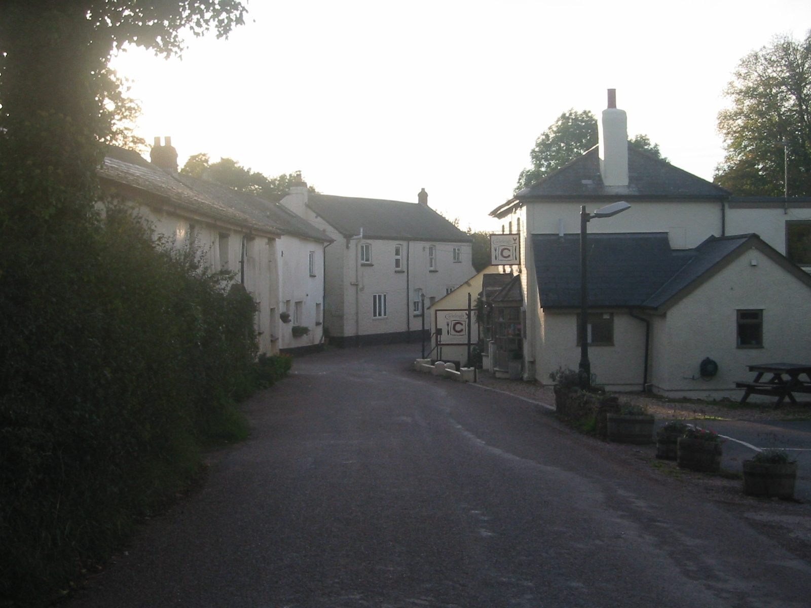
Allergroves Copse Images

Images are sourced within 2km of 50.819002/-3.5389174 or Grid Reference SS9103. Thanks to Geograph Open Source API. All images are credited.

Field near Dunsaller Crossed by Thorverton footpath 3.
Field near Dunsaller
Crossed by Thorverton footpath 3.
Field near Berrysbridge A tree in a bocage-like field crossed by Thorverton footpath 6.
Field near Berrysbridge
A tree in a bocage-like field crossed by Thorverton footpath 6.
Farmland near Dunsaller Looking across the field north of the one shown in <a href="https://www.geograph.org.uk/photo/7287135">SS9101 : Field near Dunsaller</a>.
Farmland near Dunsaller
Looking across the field north of the one shown in SS9101 : Field near Dunsaller.
Near Raddon From the start of Thorverton Footpath 3, as shown in <a href="https://www.geograph.org.uk/photo/1853472">SS9101 : Start of footpath near Raddon</a>.
Near Raddon
From the start of Thorverton Footpath 3, as shown in SS9101 : Start of footpath near Raddon.
Thatched cottage near Thorverton The Pleasure House is by the road to Raddon.
Thatched cottage near Thorverton
The Pleasure House is by the road to Raddon.
Thatched cottage, Thorverton The listed Crossways, at the junction at the west end of the village, is described at <span class="nowrap"><a title="https://historicengland.org.uk/listing/the-list/list-entry/1240384?section=official-list-entry" rel="nofollow ugc noopener" href="https://historicengland.org.uk/listing/the-list/list-entry/1240384?section=official-list-entry">Link</a><img style="margin-left:2px;" alt="External link" title="External link - shift click to open in new window" src="https://s1.geograph.org.uk/img/external.png" width="10" height="10"/></span>  / On the right is one of a row of three cottages, also listed <span class="nowrap"><a title="https://historicengland.org.uk/listing/the-list/list-entry/1261041?section=official-list-entry" rel="nofollow ugc noopener" href="https://historicengland.org.uk/listing/the-list/list-entry/1261041?section=official-list-entry">Link</a><img style="margin-left:2px;" alt="External link" title="External link - shift click to open in new window" src="https://s1.geograph.org.uk/img/external.png" width="10" height="10"/></span> .
Thatched cottage, Thorverton
The listed Crossways, at the junction at the west end of the village, is described at LinkExternal link / On the right is one of a row of three cottages, also listed LinkExternal link .
Postbox, Thorverton Elizabeth II postbox EX5 272, an NHS Priority postbox, is on Bullen Street, the main village street.
Postbox, Thorverton
Elizabeth II postbox EX5 272, an NHS Priority postbox, is on Bullen Street, the main village street.
The Bury, Thorverton Alas, not as car-free as when Roger visited <a href="https://www.geograph.org.uk/photo/1126334">SS9202 : The Bury, Thorverton</a>. Viewed from the junction with Bullen Street. On the right is a general stores.
The Bury, Thorverton
Alas, not as car-free as when Roger visited SS9202 : The Bury, Thorverton. Viewed from the junction with Bullen Street. On the right is a general stores.
Thorverton village centre Looking right from <a href="https://www.geograph.org.uk/photo/7293604">SS9202 : The Bury, Thorverton</a>, with the general stores on the corner of The Bury on the left. On the other side of Bullen Street is the Thorverton Arms. The main street then becomes Silver Street, swinging right at the Jubilee green where it meets the Exe Valley Way.
Thorverton village centre
Looking right from SS9202 : The Bury, Thorverton, with the general stores on the corner of The Bury on the left. On the other side of Bullen Street is the Thorverton Arms. The main street then becomes Silver Street, swinging right at the Jubilee green where it meets the Exe Valley Way.
Berry House, Thorverton On Bullen Street at its junction with The Bury (right). The house is listed <span class="nowrap"><a title="https://historicengland.org.uk/listing/the-list/list-entry/1240387?section=official-list-entry" rel="nofollow ugc noopener" href="https://historicengland.org.uk/listing/the-list/list-entry/1240387?section=official-list-entry">Link</a><img style="margin-left:2px;" alt="External link" title="External link - shift click to open in new window" src="https://s1.geograph.org.uk/img/external.png" width="10" height="10"/></span> .
Berry House, Thorverton
On Bullen Street at its junction with The Bury (right). The house is listed LinkExternal link .
Full stream ahead, Thorverton The traction engine shown in <a href="https://www.geograph.org.uk/photo/7292207">SS9401 : Traction engine outside Exe Valley Farm Shop</a> climbs through the centre of the village.
Full stream ahead, Thorverton
The traction engine shown in SS9401 : Traction engine outside Exe Valley Farm Shop climbs through the centre of the village.
Hillside near Thorverton Climbed, as you can see, by a path, Thorverton footpath 11, which is mapped as coming to an abrupt halt as it reaches the field boundary on the horizon. This view is from the Milford Lane gate into the Millennium Green.
Hillside near Thorverton
Climbed, as you can see, by a path, Thorverton footpath 11, which is mapped as coming to an abrupt halt as it reaches the field boundary on the horizon. This view is from the Milford Lane gate into the Millennium Green.
Road near Raddon Court
Field on slope of Raddon Hills
Mid Devon : Grassy Field & Tree Looking along the top of the Raddon Hills with a man under a tree.
Mid Devon : Grassy Field & Tree
Looking along the top of the Raddon Hills with a man under a tree.
Mid Devon : Countryside Scenery From the Raddon Hills looking out across the fields and countryside.
Mid Devon : Countryside Scenery
From the Raddon Hills looking out across the fields and countryside.
Mid Devon : Countryside Scenery Looking out across the Mid Devon countryside from the Raddon Hills.
Mid Devon : Countryside Scenery
Looking out across the Mid Devon countryside from the Raddon Hills.
Fields, below Raddon Hill
Show me another place!

Allergroves Copse is located at Grid Ref: SS9103 (Lat: 50.819002, Lng: -3.5389174)

Administrative County: Devon

District: Mid Devon

Police Authority: Devon and Cornwall

What 3 Words

///verve.commented.vowed. Near Silverton, Devon

Related Wikis

Cadbury, Devon

Cadbury is a village in Devon, England. Cadbury Castle is nearby. The 15th-century Church of St Michael and All Angels features a Norman font. The church...

Raddon Top

Raddon Top is the highest point of the Raddon Hills, a small ridge of hills in the Shobrooke area of Mid Devon. The summit is at some 235 metres above...

Cadbury Castle, Devon

Cadbury Castle is an Iron Age Hillfort close to Bickleigh, Devon, England. It was later encamped by the Parliamentarian forces during the English Civil...

Thorverton

Thorverton is a civil parish and village in Devon, England, about a mile west of the River Exe and 8 miles (13 km) north of Exeter. It is almost centrally...

Berrysbridge

Berrysbridge is a village in Devon, England. == External links == Media related to Berrysbridge at Wikimedia Commons

Cadeleigh

Cadeleigh is a small village in the county of Devon in England. It sits in the hills above the valley of the River Exe and is about 15 km (9 miles) north...

Stockleigh Pomeroy

Stockleigh Pomeroy is a village and civil parish in Devon, England at the foot of the Raddon Hills. The parish church which is dedicated to St Mary the...

Nether Exe

Nether Exe or Netherexe is a very small village and civil parish in Devon, England. It lies near the River Exe, as its name suggests, about 5 miles (8...

Nearby Amenities

Located within 500m of 50.819002,-3.5389174
Allergroves Copse
Place: locality
Source Name: OS_OpenData_StreetView
Lat/Long: 50.8189003/-3.5387503
Generator Method: photovoltaic
Generator Output Electricity: yes
Generator Source: solar
Generator Type: solar_photovoltaic_panel
Location: roof
Power: generator
Lat/Long: 50.821611/-3.5358247
Generator Method: photovoltaic
Generator Output Electricity: yes
Generator Source: solar
Generator Type: solar_photovoltaic_panel
Location: roof
Power: generator
Lat/Long: 50.823164/-3.5409719
Ford: yes
Lat/Long: 50.8222388/-3.5404793
The data included in this document is from www.openstreetmap.org. The data is made available under ODbL.

Have you been to Allergroves Copse?

Leave your review of Allergroves Copse below (or comments, questions and feedback).