Beer Wood

Wood, Forest in Somerset Somerset West and Taunton

England

Beer Wood

Former Dulverton Station Seen from a bridge over the dismantled railway line. The stationmaster's house and goods shed were built by the Devon and somerset Railway and opened in 1873. The Exe Valley Railway also had its terminus here. The station is actually about 2 miles south of Dulverton and in Brushford.
Former Dulverton Station Credit: Chris Allen

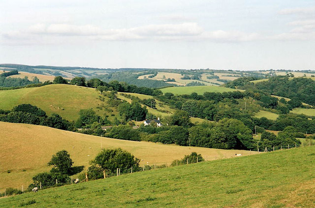
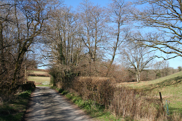
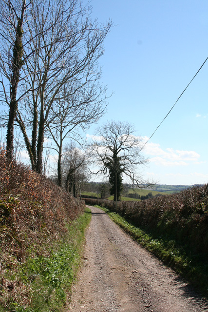
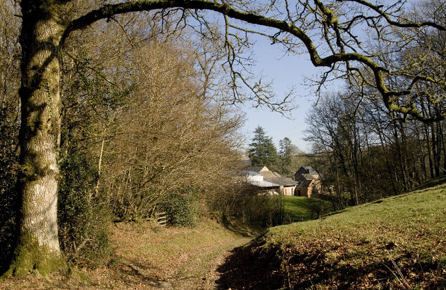
Beer Wood is a picturesque woodland located in Somerset, England. Covering an area of approximately 200 acres, it is nestled in the heart of the beautiful Somerset countryside. The wood is primarily made up of broadleaf trees, including oak, ash, beech, and birch, which create a diverse and vibrant ecosystem.

The wood is known for its tranquil and serene atmosphere, making it a popular destination for nature lovers and outdoor enthusiasts. It offers a variety of walking trails and paths that wind through the trees, allowing visitors to explore the wood at their own pace. The dense canopy provides shade during the summer months, making it a pleasant spot for a leisurely stroll.

Beer Wood is also home to a diverse range of wildlife. Birdwatchers can spot a variety of species, including woodpeckers, owls, and various songbirds. The wood is also home to small mammals such as deer, foxes, and badgers, adding to its natural charm.

In addition to its natural beauty, Beer Wood has historical significance. It is believed to have been part of the ancient Selwood Forest, which played a crucial role in England's history. The wood has remnants of old boundary walls and ditches, serving as reminders of its past.

Overall, Beer Wood offers visitors a chance to immerse themselves in nature and enjoy its tranquility. Whether it's a leisurely walk, birdwatching, or simply enjoying the peaceful surroundings, this woodland is a hidden gem in the heart of Somerset.

If you have any feedback on the listing, please let us know in the comments section below.
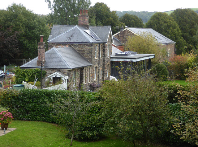
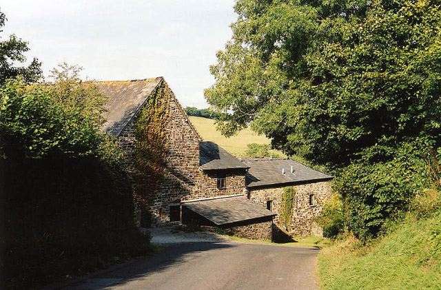
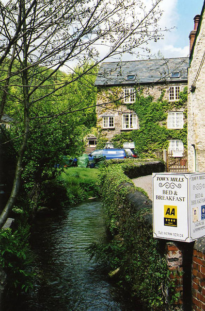
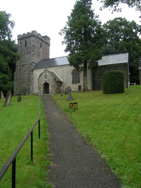
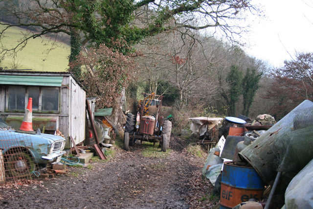
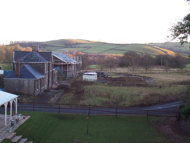
Beer Wood Images

Images are sourced within 2km of 51.021116/-3.5521888 or Grid Reference SS9125. Thanks to Geograph Open Source API. All images are credited.

Former Dulverton Station Seen from a bridge over the dismantled railway line. The stationmaster's house and goods shed were built by the Devon and somerset Railway and opened in 1873. The Exe Valley Railway also had its terminus here. The station is actually about 2 miles south of Dulverton and in Brushford.
Former Dulverton Station
Seen from a bridge over the dismantled railway line. The stationmaster's house and goods shed were built by the Devon and somerset Railway and opened in 1873. The Exe Valley Railway also had its terminus here. The station is actually about 2 miles south of Dulverton and in Brushford.
Brushford: Knowle Farm
Brushford: between Nightcott and Upcott Looking south from the Brushford – Nightcott lane
Brushford: between Nightcott and Upcott
Looking south from the Brushford – Nightcott lane
Brushford: by Trackford Moor On the access road to Lower Sowerhill. Looking south west
Brushford: by Trackford Moor
On the access road to Lower Sowerhill. Looking south west
Brushford: Rocks Farm Seen from the Oldways End-Exebridge Road. The outbuilding by the road once contained a waterwheel which powered farm machinery. The remains of a dry millpond exist to the right of this shot
Brushford: Rocks Farm
Seen from the Oldways End-Exebridge Road. The outbuilding by the road once contained a waterwheel which powered farm machinery. The remains of a dry millpond exist to the right of this shot
Brushford: Higher Upcott and Upcott Farm Seen from the Oldways End-Exebridge Road. Higher Upcott is the building to the left
Brushford: Higher Upcott and Upcott Farm
Seen from the Oldways End-Exebridge Road. Higher Upcott is the building to the left
Brushford:  Croft and Croft Knap Seen from the Oldways End-Exebridge Road
Brushford: Croft and Croft Knap
Seen from the Oldways End-Exebridge Road
Dulverton: Town Mills Now offering bread and breakfast, Town Mills was once one of four mills all powered by a single leat from the river Barle. One of its waterwheels can be seen turning at Bickleigh Mill, near Tiverton
Dulverton: Town Mills
Now offering bread and breakfast, Town Mills was once one of four mills all powered by a single leat from the river Barle. One of its waterwheels can be seen turning at Bickleigh Mill, near Tiverton
BRUSHFORD, Somerset The church of St Nicholas
BRUSHFORD, Somerset
The church of St Nicholas
Brushford: yard by bridleway Near Hulverton Hill, looking south on a track from, Brushford to Brocks Bridge. Christmas Day 2005
Brushford: yard by bridleway
Near Hulverton Hill, looking south on a track from, Brushford to Brocks Bridge. Christmas Day 2005
Railway Station, Brushford Railway Station at Brushford is Dulverton Station, on the Taunton to Barnstaple line. The station and goods shed are visible from the road bridge. The line was closed in 1966.
Railway Station, Brushford
Railway Station at Brushford is Dulverton Station, on the Taunton to Barnstaple line. The station and goods shed are visible from the road bridge. The line was closed in 1966.
Brushford: lane to Nightcott Looking west near a bridge over the Brockley River
Brushford: lane to Nightcott
Looking west near a bridge over the Brockley River
Dulverton: wood near Three Gates Cross Looking south
Dulverton: wood near Three Gates Cross
Looking south
Dulverton: Combe Lane Track above Battleton. Looking south east
Dulverton: Combe Lane
Track above Battleton. Looking south east
Dulverton: the Barle at Allers Wood Looking north-north-west from one of the access roads into Pixton Park, a private estate. Nearby a public footpath runs through fields to Dulverton town
Dulverton: the Barle at Allers Wood
Looking north-north-west from one of the access roads into Pixton Park, a private estate. Nearby a public footpath runs through fields to Dulverton town
Old hydroelectric scheme  on the Barle below Dulverton This old electricity generating installation can be viewed from the Exe Valley Way, it is viewed across the River Barle. Looking towards the West on a warm winter's afternoon. 
 
(Update: The building has been pulled down since this photo was taken. See forum <a title="https://www.geograph.org.uk/discuss/index.php?gridref=SS9226" href="https://www.geograph.org.uk/discuss/index.php?gridref=SS9226">Link</a> for further information.)
Old hydroelectric scheme on the Barle below Dulverton
This old electricity generating installation can be viewed from the Exe Valley Way, it is viewed across the River Barle. Looking towards the West on a warm winter's afternoon. (Update: The building has been pulled down since this photo was taken. See forum Link for further information.)
Farm cottages, Combe These utilitarian buildings are all that can be seen of the isolated community from the public path, apart from some sheds.  The path once went closer to the farmhouse but has now been diverted to the left of the beech hedge.
Farm cottages, Combe
These utilitarian buildings are all that can be seen of the isolated community from the public path, apart from some sheds. The path once went closer to the farmhouse but has now been diverted to the left of the beech hedge.
Combe Farm. After a muddy start at the end of Three Gates Lane the path improves and develops into this track.
Combe Farm.
After a muddy start at the end of Three Gates Lane the path improves and develops into this track.
Show me another place!

Beer Wood is located at Grid Ref: SS9125 (Lat: 51.021116, Lng: -3.5521888)

Administrative County: Somerset

District: Somerset West and Taunton

Police Authority: Avon and Somerset

What 3 Words

///tickles.scaffold.bypasses. Near Dulverton, Somerset

Nearby Locations

Beer Wood Kents Hill

Related Wikis

Combe, Dulverton

Combe is a historic estate in Somerset, England, situated between the town of Dulverton and the village of Brushford. == Descent == === Taunton Priory... ===

Brushford, Somerset

Brushford is a village and civil parish 2 miles (3.2 km) south of Dulverton and 12 miles (19 km) north of Tiverton in Devon, in the Somerset West and Taunton...
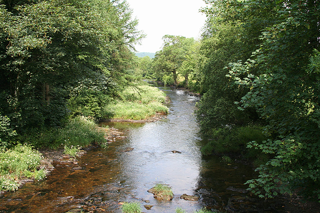
River Barle

The River Barle runs from the Chains on northern Exmoor, in Somerset, England to join the River Exe at Exebridge, Devon. The river and the Barle Valley...

Barle Bridge

Barle Bridge is a five span stone arch bridge over the River Barle in Dulverton within the English county of Somerset, which is medieval in origin. It...

Briggins Moor

Briggins Moor is a 15.3 hectare biological Site of Special Scientific Interest in Somerset, notified in 1994. The site is south of Dulverton and close...

Dulverton Town Hall

Dulverton Town Hall is a municipal building in Fore Street in Dulverton, Somerset, England. The building, which is the meeting place of Dulverton Town...

Church of All Saints, Dulverton

The Anglican Church of All Saints in Dulverton, Somerset, England was built in the 15th century and largely rebuilt in the 1850s. It is a Grade II* listed...

River Haddeo

The River Haddeo on Exmoor in Somerset, England flows from the Wimbleball Lake to the River Exe. The valley of the river consists of three tributary valleys...

Have you been to Beer Wood?

Leave your review of Beer Wood below (or comments, questions and feedback).