Nethercleave Copse
Wood, Forest in Devon Mid Devon
England
Nethercleave Copse

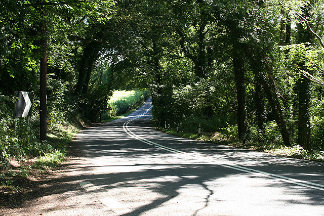
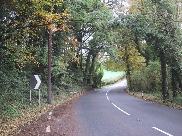
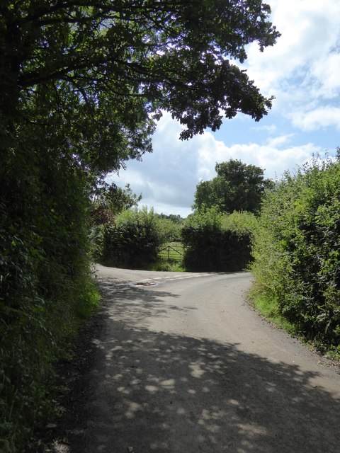
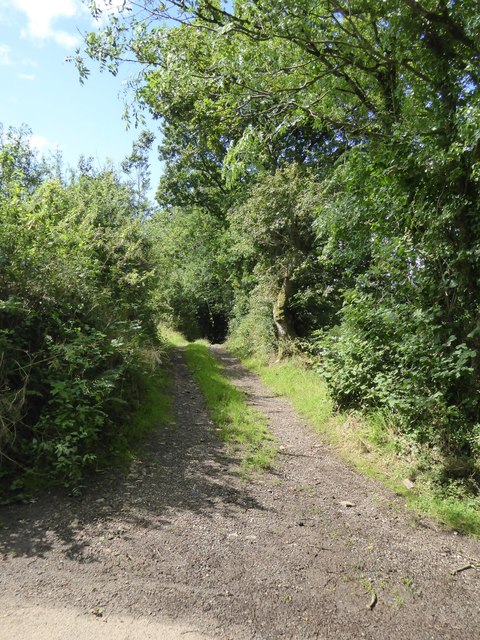
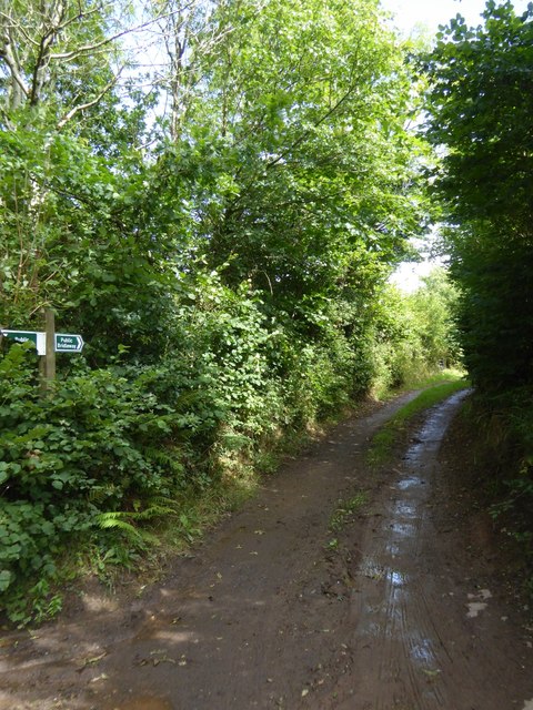
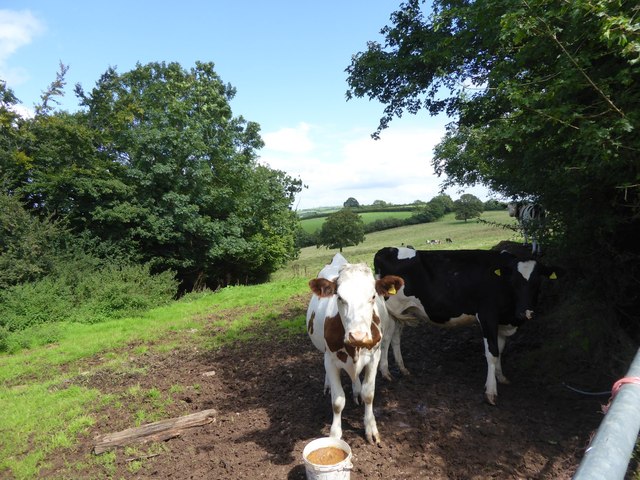
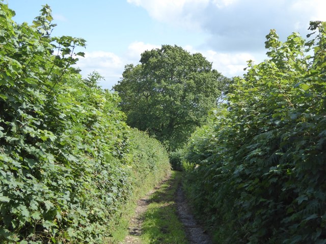
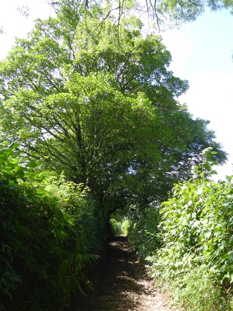
Nethercleave Copse is a picturesque woodland located in Devon, England. Covering an area of approximately 50 acres, this ancient forest is a haven for wildlife and a popular destination for nature enthusiasts and hikers alike.
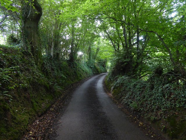
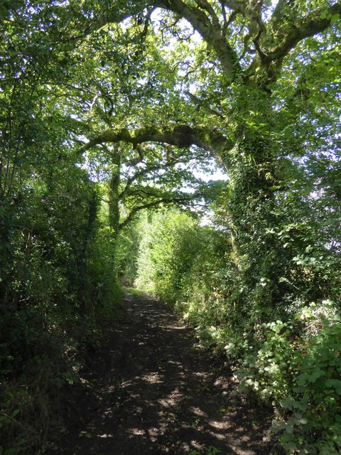
The copse is primarily composed of a variety of native tree species, including oak, beech, and ash, which create a dense canopy overhead. Beneath the towering trees, the forest floor is carpeted with a rich diversity of plant life, including bluebells, ferns, and mosses.
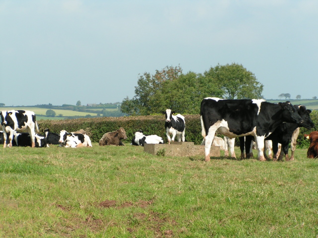
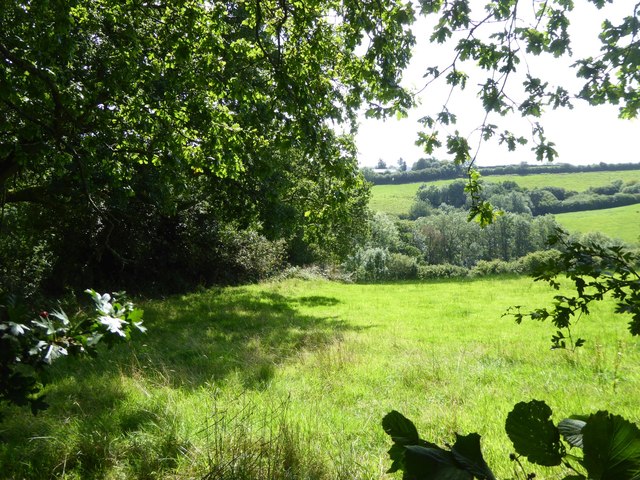
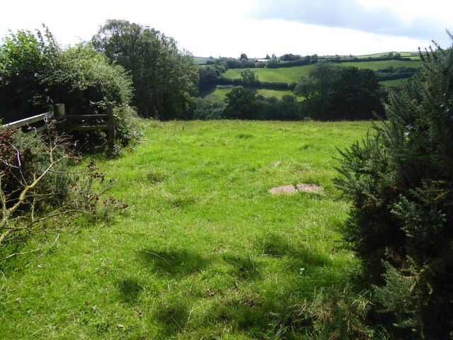
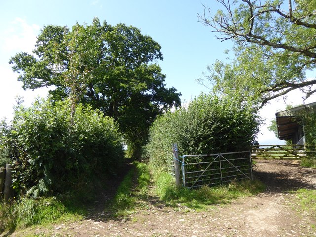
Tranquil streams meander through the copse, providing a source of water for the wildlife that calls this forest home. Visitors may catch a glimpse of deer, foxes, and a wide array of bird species as they explore the winding trails that crisscross the woodland.
Nethercleave Copse is well-maintained, with designated paths and seating areas for visitors to rest and take in the natural beauty of the surroundings. The forest is especially stunning in the spring when the trees are in full bloom, creating a vibrant green canopy overhead.
Overall, Nethercleave Copse is a peaceful and enchanting woodland that offers a glimpse into the natural beauty of the Devon countryside.
If you have any feedback on the listing, please let us know in the comments section below.
Nethercleave Copse Images
Images are sourced within 2km of 50.894512/-3.5522409 or Grid Reference SS9011. Thanks to Geograph Open Source API. All images are credited.


Nethercleave Copse is located at Grid Ref: SS9011 (Lat: 50.894512, Lng: -3.5522409)
Administrative County: Devon
District: Mid Devon
Police Authority: Devon and Cornwall
What 3 Words
///deeds.flies.insolvent. Near Tiverton, Devon
Nearby Locations
Related Wikis

Calverleigh
Calverleigh (anciently Calwoodleigh) is a village and former civil parish and manor, now in the parish of Loxbeare, in the Mid Devon district, in the county...

Templeton, Devon
Templeton is a hamlet, parish and former manor in Devon, England, situated 4 miles west of Tiverton. The parish church is dedicated to St Margaret. �...

Cruwys Morchard
Cruwys Morchard is an ecclesiastical and civil parish in the Mid Devon district of the county of Devon in England. It is located about four to five miles...
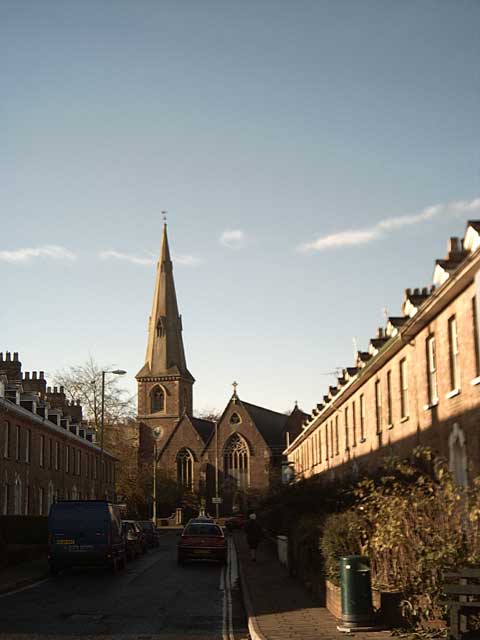
St Paul's Church, Tiverton
St Paul's Church, Tiverton, is a Grade II listed parish church in the Church of England in Tiverton, Devon. == History == The church was built between...
Have you been to Nethercleave Copse?
Leave your review of Nethercleave Copse below (or comments, questions and feedback).