Ballneck Copse
Wood, Forest in Somerset Somerset West and Taunton
England
Ballneck Copse
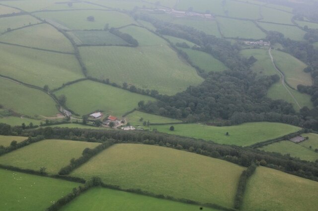
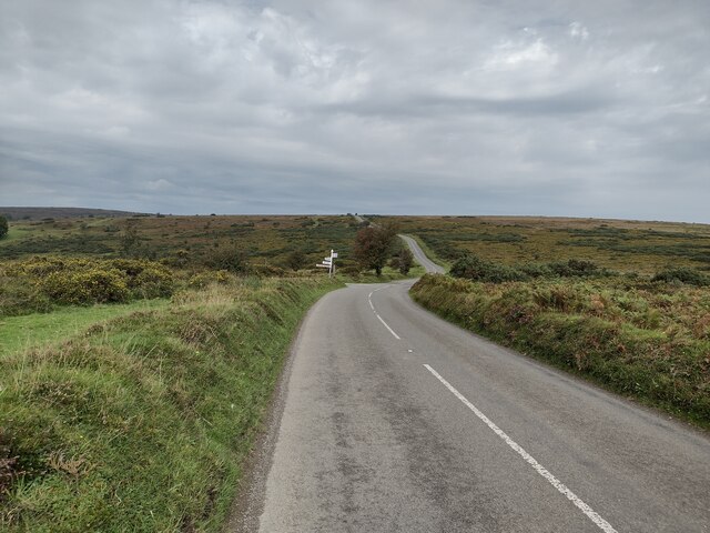
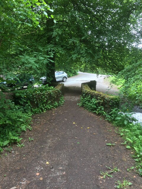
Ballneck Copse is a picturesque woodland area located in Somerset, England. Covering approximately 20 hectares, it is nestled within the undulating landscape of the county, offering visitors a tranquil and serene escape from the bustling city life.
The copse is predominantly made up of native broadleaf trees, with oak, beech, and ash being the dominant species. This creates a diverse and rich ecosystem, attracting a wide variety of flora and fauna. The forest floor is adorned with an array of wildflowers, including bluebells and primroses, adding a burst of color during the spring months.
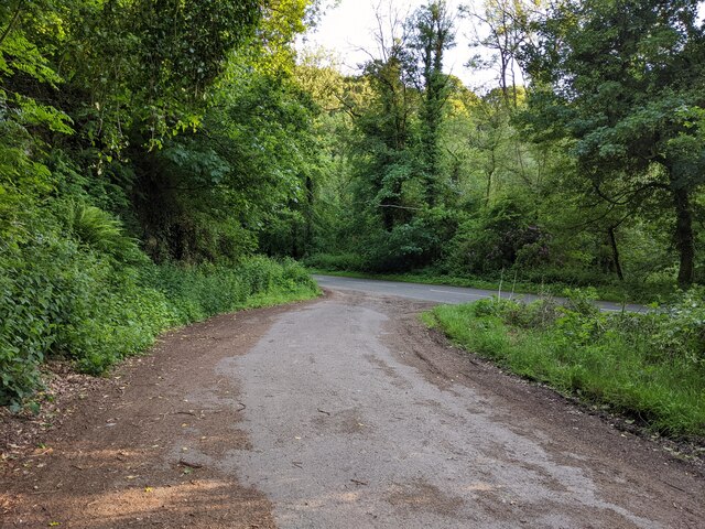
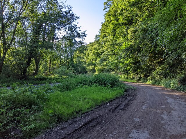
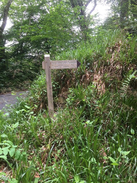
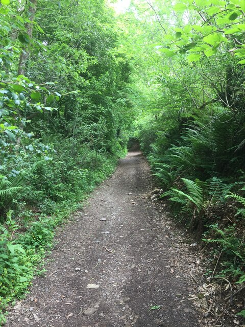
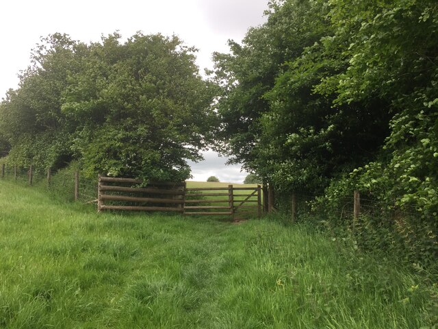
The copse is crisscrossed with a network of footpaths, allowing visitors to explore the woodland at their leisure. These paths lead to a small clearing, which serves as a perfect spot for a picnic or a moment of quiet reflection.
Birdwatchers will find Ballneck Copse a haven, as it is home to a plethora of bird species. Woodpeckers, jays, and various songbirds can be spotted flitting among the trees, their melodic calls adding to the symphony of nature.
Throughout the years, Ballneck Copse has been managed with care to preserve its natural beauty. The local authorities have implemented sustainable forestry practices, ensuring the woodland remains healthy and continues to provide a habitat for wildlife.
Visitors to Ballneck Copse can expect a peaceful and rejuvenating experience, immersing themselves in the beauty of nature and exploring the wonders of this charming Somerset woodland.
If you have any feedback on the listing, please let us know in the comments section below.
Ballneck Copse Images
Images are sourced within 2km of 51.056421/-3.5603755 or Grid Reference SS9029. Thanks to Geograph Open Source API. All images are credited.


Ballneck Copse is located at Grid Ref: SS9029 (Lat: 51.056421, Lng: -3.5603755)
Administrative County: Somerset
District: Somerset West and Taunton
Police Authority: Avon and Somerset
What 3 Words
///acre.mornings.asked. Near Dulverton, Somerset
Nearby Locations
Related Wikis

Northmoor, Dulverton
Northmoor is an historic estate in the parish of Dulverton in Somerset, England. The Victorian mansion house known as Northmoor House is set amongst steep...

Dulverton
Dulverton is a town and civil parish in west Somerset, England, near the border with Devon. The town had a population of 1,408 at the 2011 Census. The...
Dulverton Rural District
Dulverton was a rural district in Somerset, England, from 1894 to 1974. It was created in 1894 under the Local Government Act 1894. In 1974 it was abolished...

Oldberry Castle
Oldberry Castle (sometimes called Oldbury Castle) is an Iron Age hill fort north west of Dulverton, Somerset, England. It lies approximately 0.5 miles...

Church of All Saints, Dulverton
The Anglican Church of All Saints in Dulverton, Somerset, England was built in the 15th century and largely rebuilt in the 1850s. It is a Grade II* listed...

Dulverton Town Hall
Dulverton Town Hall is a municipal building in Fore Street in Dulverton, Somerset, England. The building, which is the meeting place of Dulverton Town...

Barle Bridge
Barle Bridge is a five span stone arch bridge over the River Barle in Dulverton within the English county of Somerset, which is medieval in origin. It...

Ashwick House, Dulverton
not to be confused with the 17th century Ashwick Court in eastern Somerset.Ashwick House is an Edwardian mansion in Ashwick, four miles northwest of Dulverton...
Nearby Amenities
Located within 500m of 51.056421,-3.5603755Have you been to Ballneck Copse?
Leave your review of Ballneck Copse below (or comments, questions and feedback).