Yendacott Copse

Wood, Forest in Devon Mid Devon

England

Yendacott Copse

Field near Dunsaller Crossed by Thorverton footpath 3.
Field near Dunsaller Credit: Derek Harper

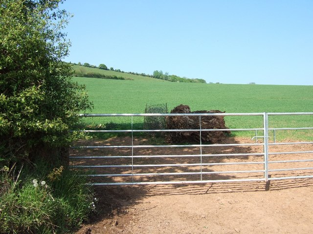
Yendacott Copse is a picturesque woodland located in the county of Devon, England. Covering an area of approximately 20 acres, this ancient forest is a haven for wildlife and a popular destination for nature enthusiasts and hikers alike.

The copse is predominantly made up of oak, beech, and chestnut trees, creating a dense canopy that provides shade and shelter for a variety of plant and animal species. The forest floor is carpeted with ferns, bluebells, and other wildflowers, adding to the beauty and diversity of the ecosystem.

Visitors to Yendacott Copse can enjoy leisurely walks along well-maintained trails, discovering hidden glades, babbling brooks, and peaceful clearings along the way. Birdwatchers may catch a glimpse of woodpeckers, owls, and other feathered residents, while lucky observers may even spot elusive deer or foxes roaming through the undergrowth.

Overall, Yendacott Copse offers a tranquil escape from the hustle and bustle of everyday life, allowing visitors to immerse themselves in the natural beauty and serenity of this enchanting woodland environment.

If you have any feedback on the listing, please let us know in the comments section below.

Yendacott Copse Images

Images are sourced within 2km of 50.796857/-3.5528054 or Grid Reference SS9000. Thanks to Geograph Open Source API. All images are credited.

Field near Dunsaller Crossed by Thorverton footpath 3.
Field near Dunsaller
Crossed by Thorverton footpath 3.
Approaching Dunsford Hill Nearing the western end of Hulk Lane.
Approaching Dunsford Hill
Nearing the western end of Hulk Lane.
Junction on Dunsford Hill On the left is Hulk lane, no longer a through road as shown in <a href="https://www.geograph.org.uk/photo/5720208">SS9200 : Hulk Lane closed to through traffic</a>, though it still appears to be on OS maps.
Junction on Dunsford Hill
On the left is Hulk lane, no longer a through road as shown in SS9200 : Hulk Lane closed to through traffic, though it still appears to be on OS maps.
Dunsford Hill near Yellowford Branching off to the left is Thorverton footpath 8, to Berrysbridge.
Dunsford Hill near Yellowford
Branching off to the left is Thorverton footpath 8, to Berrysbridge.
Footpath, Yellowford Thorverton footpath 8, to Berrysbridge, shortly after leaving Dunsford Hill as shown in <a href="https://www.geograph.org.uk/photo/7292767">SS9201 : Dunsford Hill near Yellowford</a>.
Footpath, Yellowford
Thorverton footpath 8, to Berrysbridge, shortly after leaving Dunsford Hill as shown in SS9201 : Dunsford Hill near Yellowford.
Trees in field, Rosepark Looking right from the stretch of path shown in <a href="https://www.geograph.org.uk/photo/7292783">SS9201 : Footpath, Yellowford</a>.
Trees in field, Rosepark
Looking right from the stretch of path shown in SS9201 : Footpath, Yellowford.
Footpath to Berrysbridge Thorverton footpath 8 follows a green lane from Yellowford.
Footpath to Berrysbridge
Thorverton footpath 8 follows a green lane from Yellowford.
Rosepark Cottage Seen from the green lane shown in <a href="https://www.geograph.org.uk/photo/7292944">SS9201 : Footpath to Berrysbridge</a>.
Rosepark Cottage
Seen from the green lane shown in SS9201 : Footpath to Berrysbridge.
Field near Berrysbridge A tree in a bocage-like field crossed by Thorverton footpath 6.
Field near Berrysbridge
A tree in a bocage-like field crossed by Thorverton footpath 6.
Farmland near Dunsaller Looking across the field north of the one shown in <a href="https://www.geograph.org.uk/photo/7287135">SS9101 : Field near Dunsaller</a>.
Farmland near Dunsaller
Looking across the field north of the one shown in SS9101 : Field near Dunsaller.
Near Raddon From the start of Thorverton Footpath 3, as shown in <a href="https://www.geograph.org.uk/photo/1853472">SS9101 : Start of footpath near Raddon</a>.
Near Raddon
From the start of Thorverton Footpath 3, as shown in SS9101 : Start of footpath near Raddon.
Thatched cottage near Thorverton The Pleasure House is by the road to Raddon.
Thatched cottage near Thorverton
The Pleasure House is by the road to Raddon.
Road near West Raddon
Road near Raddon Court
Field on slope of Raddon Hills
Bare trees on the road to Efford
Devon red soil near Efford A recently ploughed field with mature trees in the hedge
Devon red soil near Efford
A recently ploughed field with mature trees in the hedge
The road through Efford
Show me another place!

Yendacott Copse is located at Grid Ref: SS9000 (Lat: 50.796857, Lng: -3.5528054)

Administrative County: Devon

District: Mid Devon

Police Authority: Devon and Cornwall

What 3 Words

///tutorial.flask.meanings. Near Silverton, Devon

Nearby Locations

Yendacott Copse

Related Wikis

Raddon Top

Raddon Top is the highest point of the Raddon Hills, a small ridge of hills in the Shobrooke area of Mid Devon. The summit is at some 235 metres above...

Thorverton

Thorverton is a civil parish and village in Devon, England, about a mile west of the River Exe and 8 miles (13 km) north of Exeter. It is almost centrally...

Berrysbridge

Berrysbridge is a village in Devon, England. == External links == Media related to Berrysbridge at Wikimedia Commons

Cadbury, Devon

Cadbury is a village in Devon, England. Cadbury Castle is nearby. The 15th-century Church of St Michael and All Angels features a Norman font. The church...

Have you been to Yendacott Copse?

Leave your review of Yendacott Copse below (or comments, questions and feedback).