Aldridge Mill Plantation
Wood, Forest in Devon Mid Devon
England
Aldridge Mill Plantation
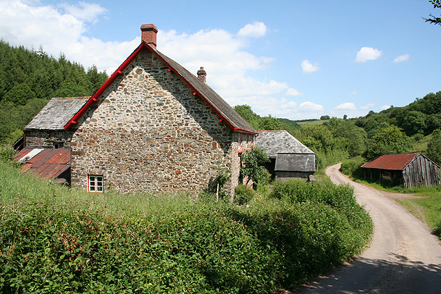
![Oakford: Spurway Barton Derelict outbuildings near a ruined farmhouse. A public footpath runs by. The Spurway family had settled here by 1244 and the property remained in the family's hands until well into the 20th century [Source: W G Hoskins. Devon. 1992]](https://s3.geograph.org.uk/photos/08/81/088147_fea2feb3.jpg)
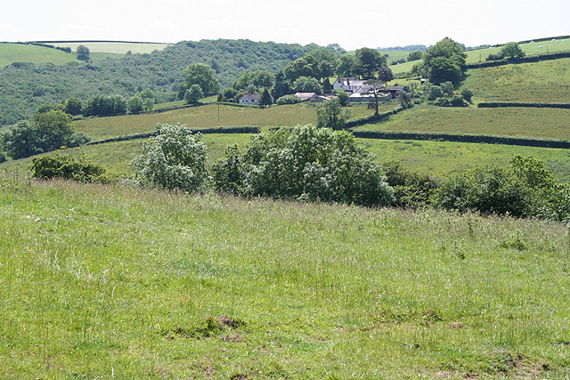
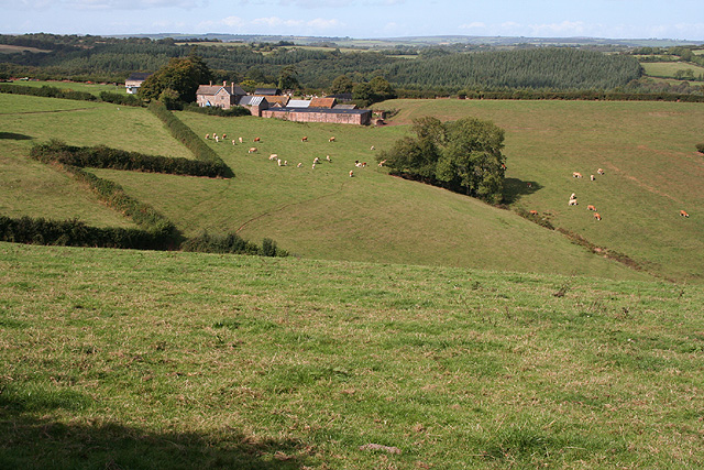
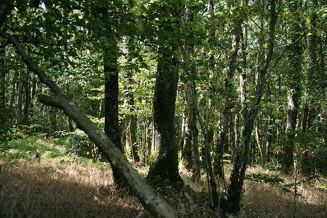
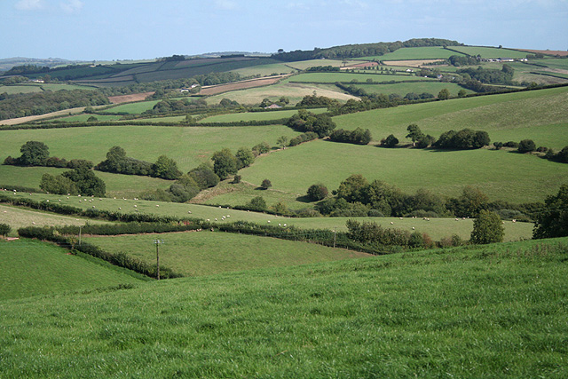
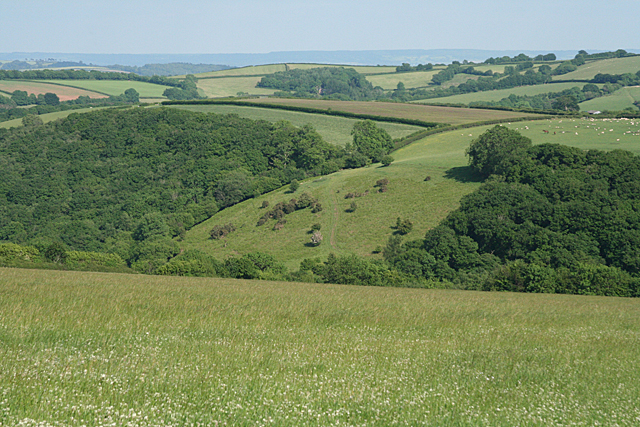
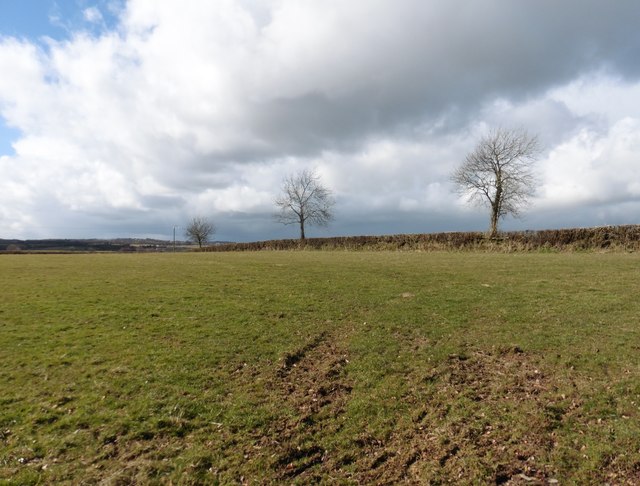
Aldridge Mill Plantation is a historic estate situated in Devon, a county in southwest England known for its picturesque landscapes and rich cultural heritage. The plantation is nestled within a dense woodland, surrounded by towering trees that form a serene and enchanting forest.
Dating back to the 18th century, Aldridge Mill Plantation has a storied past, with the original mill on the premises having been used for grinding corn and wheat. The estate encompasses a sprawling area and is home to a grand manor house, which stands as a testament to the architectural elegance of its time. The house boasts a combination of classical and neoclassical styles, with its white façade and intricate detailing.
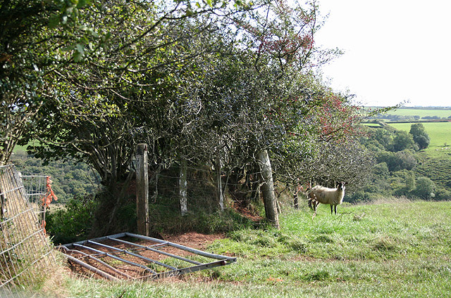
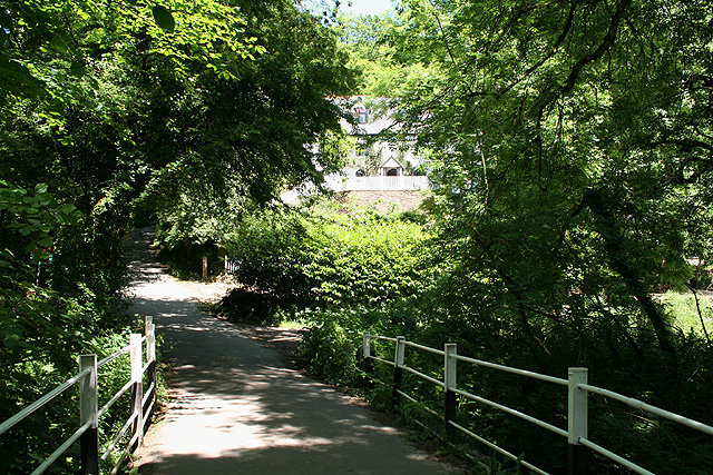
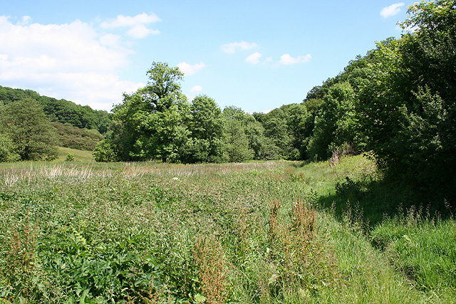
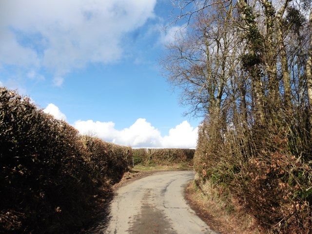
The plantation's forest is a captivating natural wonder, offering a tranquil escape from the hustle and bustle of modern life. The woodland is abundant with a diverse range of flora and fauna, including ancient oak trees, vibrant wildflowers, and a variety of bird species. Strolling through the forest, visitors can immerse themselves in the peaceful atmosphere, enjoying the gentle rustling of leaves and the soft chirping of birds.
Aldridge Mill Plantation is a popular destination for nature enthusiasts, history buffs, and those seeking a retreat in the heart of nature. Visitors can explore the well-preserved manor house, taking in its opulent interiors and admiring its beautiful gardens. Additionally, guided walks and educational programs are available to learn more about the rich history and ecological significance of the estate.
If you have any feedback on the listing, please let us know in the comments section below.
Aldridge Mill Plantation Images
Images are sourced within 2km of 50.968289/-3.5651532 or Grid Reference SS9019. Thanks to Geograph Open Source API. All images are credited.


Aldridge Mill Plantation is located at Grid Ref: SS9019 (Lat: 50.968289, Lng: -3.5651532)
Administrative County: Devon
District: Mid Devon
Police Authority: Devon and Cornwall
What 3 Words
///invite.pulses.appoints. Near Dulverton, Somerset
Related Wikis

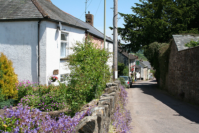
Oakford, Devon
Oakford is a village and civil parish in the Mid Devon district of Devon, England. It is located three miles (5 km) south west of Bampton and eight miles...

Stoodleigh
Stoodleigh is a village and civil parish in the Mid Devon district of Devon, England, located 6 miles (10 km) north of Tiverton and 5 miles (8 km) south...

Oakfordbridge
Oakfordbridge is a village in Devon, England. == References == The geographic coordinates are from the Ordnance Survey. == External links == Media related...

Castle Close
Castle Close is a circular earthwork located near Stoodleigh in Mid Devon, England at OS grid reference SS937181. It is described on maps as a settlement...

Loxbeare
Loxbeare is a village and civil parish in Devon, England. The church is from the twelfth century and the tower is probably Norman. It is dedicated to St...

Cove, Devon
Cove is a small village in the county of Devon, England. It is 4 miles north of Tiverton and 2 miles from Bampton in the Exe Valley some 450 feet above...

Briggins Moor
Briggins Moor is a 15.3 hectare biological Site of Special Scientific Interest in Somerset, notified in 1994. The site is south of Dulverton and close...

Washfield
Washfield is a village, parish and former manor in Devon, England, situated about 2 miles north-west of Tiverton. The parish church is dedicated to St...
Nearby Amenities
Located within 500m of 50.968289,-3.5651532Have you been to Aldridge Mill Plantation?
Leave your review of Aldridge Mill Plantation below (or comments, questions and feedback).