Parsons Wood
Wood, Forest in Somerset Somerset West and Taunton
England
Parsons Wood
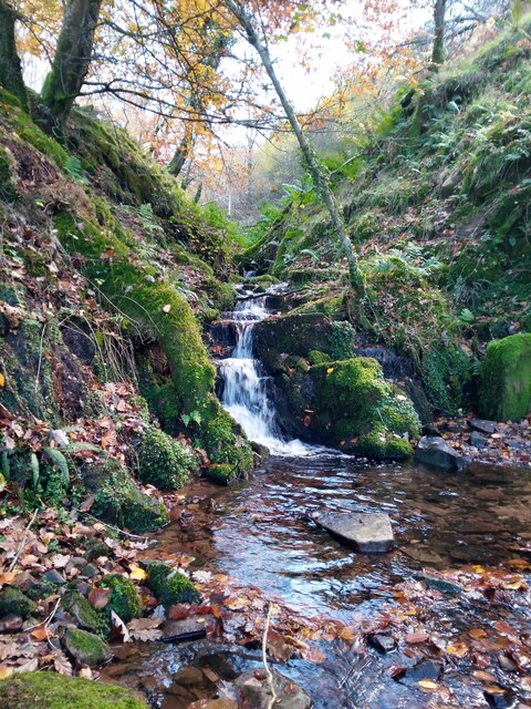
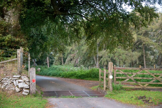
Parsons Wood is a picturesque woodland located in Somerset, England. Spanning an area of approximately 100 acres, it is a popular destination for nature lovers and outdoor enthusiasts. The woodland is characterized by its dense canopy of trees, comprising primarily of oak, beech, and pine.
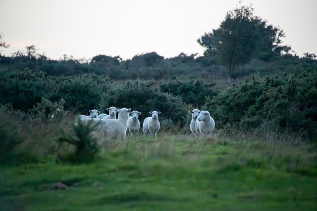
The wood is known for its tranquil and serene atmosphere, attracting visitors who seek solace in nature. The diverse flora and fauna found within Parsons Wood make it a haven for wildlife enthusiasts and bird watchers. The wood is home to a wide variety of species, including deer, foxes, badgers, and numerous species of birds.
A network of well-maintained footpaths meanders through the wood, allowing visitors to explore and discover its hidden treasures. These paths provide an opportunity for leisurely walks, jogging, or even cycling. Nature trails are also present, providing informative signposts along the way to enrich the visitor's experience and understanding of the wood's ecology.
The wood boasts a rich history, with evidence of human activity dating back to ancient times. Archaeological finds, such as pottery fragments and flint tools, have been discovered, indicating that the area was inhabited by early settlers. Additionally, remnants of a medieval deer park can still be seen within the wood, serving as a reminder of its past significance.
Visitors to Parsons Wood can enjoy a range of recreational activities, including picnicking, wildlife photography, and nature study. The wood's peaceful ambiance and natural beauty make it an ideal destination for those seeking a break from the hustle and bustle of everyday life.
If you have any feedback on the listing, please let us know in the comments section below.
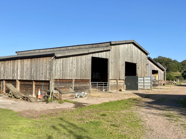
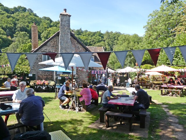
Parsons Wood Images
Images are sourced within 2km of 51.180872/-3.5737317 or Grid Reference SS9043. Thanks to Geograph Open Source API. All images are credited.


Parsons Wood is located at Grid Ref: SS9043 (Lat: 51.180872, Lng: -3.5737317)
Administrative County: Somerset
District: Somerset West and Taunton
Police Authority: Avon and Somerset
What 3 Words
///dote.clubs.craftsmen. Near Porlock, Somerset
Nearby Locations
Related Wikis

Luccombe, Somerset
Luccombe or Luckham is a village and civil parish in the Exmoor National Park in the English county of Somerset. It at the foot of the moor's highest hill...

Sweetworthy
Sweetworthy is the site of two Iron Age hill forts or enclosures at Luccombe, 4 kilometres (2 mi) south of Porlock, Somerset, England. They are on the...

Stoke Pero Church
Stoke Pero Church in Stoke Pero, Somerset, England was built in the 13th century. It is a Grade II* listed building. Standing 1,013 feet (309 meters) above...
Dunkery Hill
Dunkery Beacon at the summit of Dunkery Hill is the highest point on Exmoor and in Somerset, England. It is also the highest point in southern England...

Hawkcombe Woods
Hawkcombe Woods is a national nature reserve near Porlock on Exmoor, Somerset, England.The 101 hectares (250 acres) woodlands are notable for their lichens...

Holnicote Estate
Holnicote (pronounced "Hunnicutt") in the parish of Selworthy, West Somerset, England, is a historic estate consisting of 12,420 acres (5,026 hectares...

Dovecot at Blackford Farm
The Dovecot At Blackford Farm in Selworthy on Exmoor within the English county of Somerset was probably built in the 11th century. It is a Grade II* listed...

Coleridge Way
The Coleridge Way is a 51-mile (82 km) long-distance trail in Somerset and Devon, England. It was opened in April 2005, and the route links several sites...
Nearby Amenities
Located within 500m of 51.180872,-3.5737317Have you been to Parsons Wood?
Leave your review of Parsons Wood below (or comments, questions and feedback).