Kennel Wood East
Wood, Forest in Devon
England
Kennel Wood East
Kennel Wood East is a picturesque woodland located in the county of Devon, England. Situated in the southeastern part of the county, it forms part of the larger Kennel Wood complex. The woodland is characterized by its dense and diverse vegetation, making it a haven for wildlife and nature enthusiasts.
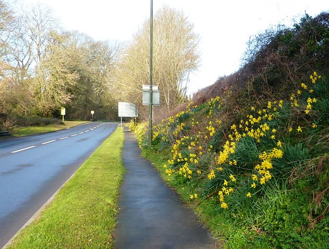
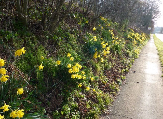
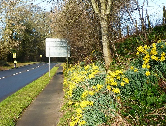
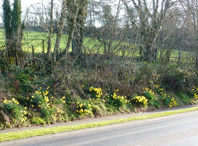
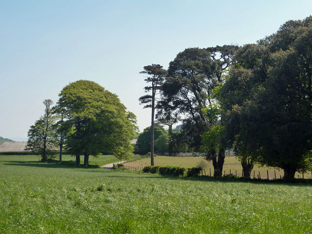
Covering an area of approximately 100 acres, Kennel Wood East is a mix of mature trees, including oak, beech, and birch, which create a stunning canopy overhead. The forest floor is adorned with a vibrant carpet of bluebells and other wildflowers during the spring season, adding to the area's natural beauty.
The woodland is crisscrossed by a network of well-maintained footpaths, allowing visitors to explore its tranquil surroundings. These paths lead to several viewpoints, offering breathtaking vistas of the surrounding countryside. The wood is also home to a variety of bird species, including woodpeckers, owls, and warblers, making it a popular spot for birdwatching.
Kennel Wood East is managed by the local authorities to ensure the preservation of its natural habitat. It is open to the public throughout the year, providing a peaceful and serene escape from the hustle and bustle of everyday life. Visitors can enjoy leisurely walks, picnics, or simply immerse themselves in the tranquility of the woodland.
Overall, Kennel Wood East is a cherished natural gem in Devon, offering a captivating blend of woodland charm, breathtaking scenery, and abundant wildlife.
If you have any feedback on the listing, please let us know in the comments section below.
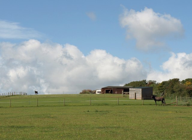
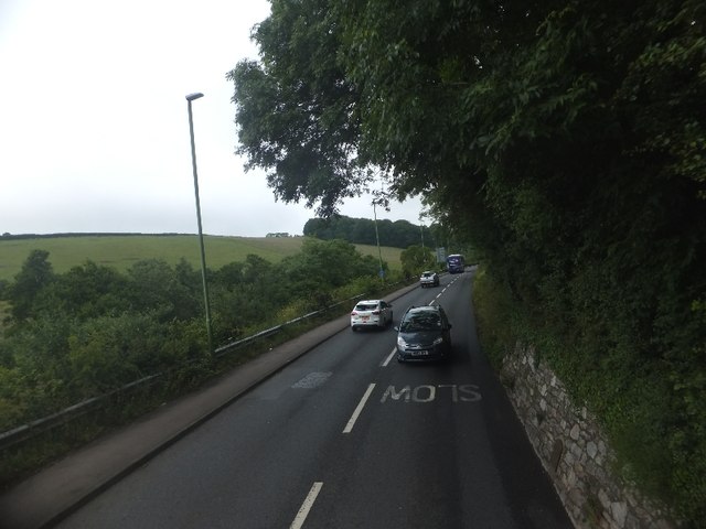
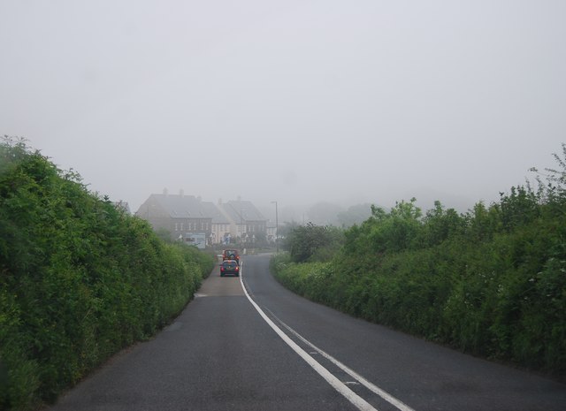
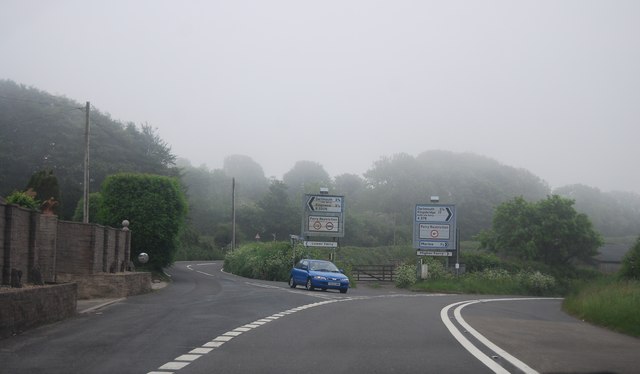
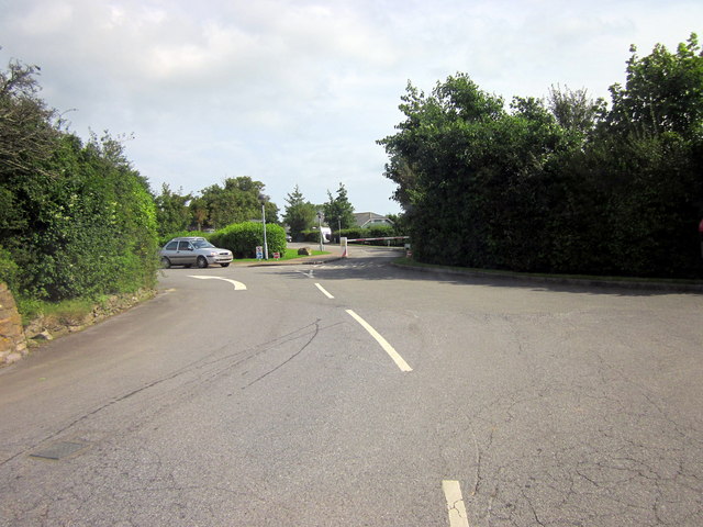
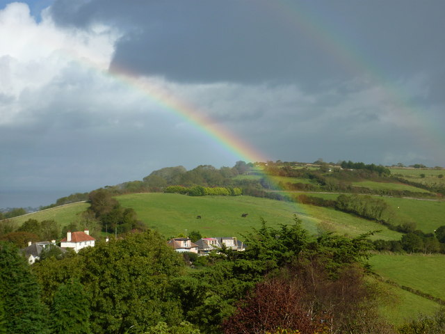
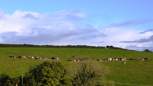
Kennel Wood East Images
Images are sourced within 2km of 50.37722/-3.5507607 or Grid Reference SX8954. Thanks to Geograph Open Source API. All images are credited.


Kennel Wood East is located at Grid Ref: SX8954 (Lat: 50.37722, Lng: -3.5507607)
Unitary Authority: Torbay
Police Authority: Devon and Cornwall
What 3 Words
///form.commit.heats. Near Brixham, Devon
Nearby Locations
Related Wikis

Lupton, Brixham
Lupton is an historic manor in the parish of Brixham, Devon. The surviving manor house known as Lupton House, is a Palladian Country house built by Charles...

Greenway Camp
Greenway Camp (also called Noss) is an Iron Age hill fort in the parish of Kingswear close to Dartmouth in Devon, England. The fort is situated on the...

Greenway Halt railway station (Devon)
Greenway Halt railway station is a small railway station on the Dartmouth Steam Railway, a heritage railway in Devon, England. It is situated near the...

Churston railway station
Churston railway station is on the Dartmouth Steam Railway, a heritage railway in Torbay, Devon, England. It is situated beside the main road to Brixham...

Churston Ferrers Grammar School
Churston Ferrers Grammar School (also known as CFGS) is a selective coeducational Grammar School with Academy status, situated in the village of Galmpton...
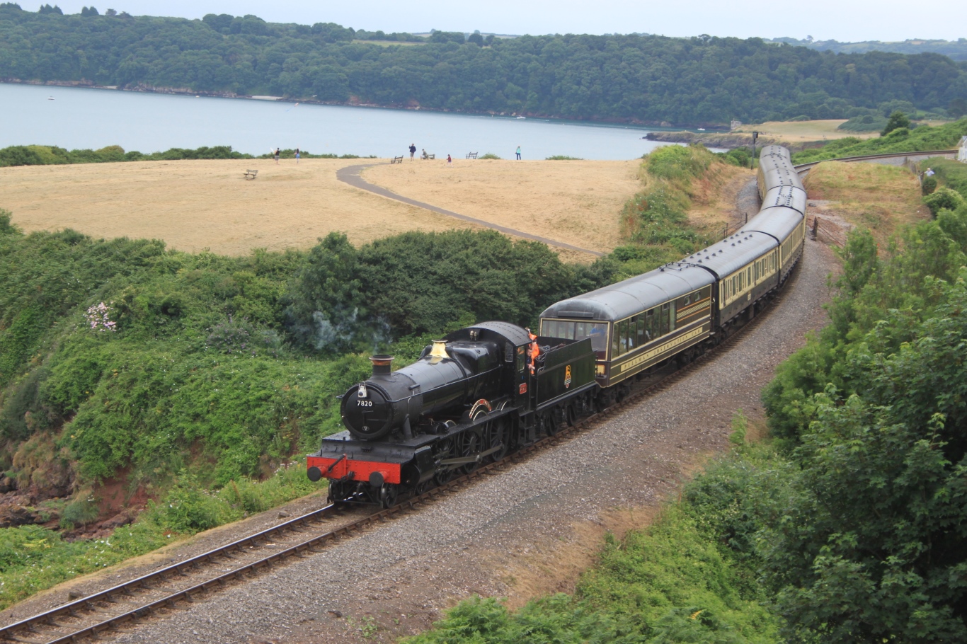
Dartmouth Steam Railway
The Dartmouth Steam Railway, formerly known as the Paignton and Dartmouth Steam Railway, is a 6.7-mile (10.8 km) heritage railway on the former Great Western...

Galmpton, Torbay
Galmpton is a semi-rural village in Torbay, in the ceremonial county of Devon, England. It is located in the ward of Churston-with-Galmpton and the historic...

Churston Court
Churston Court is the manor house of the former manor of Churston Ferrers (anciently Cercetone (Domesday Book, 1086), Churecheton (Book of Fees, 13th c...
Nearby Amenities
Located within 500m of 50.37722,-3.5507607Have you been to Kennel Wood East?
Leave your review of Kennel Wood East below (or comments, questions and feedback).