Rifton Wood

Wood, Forest in Devon Mid Devon

England

Rifton Wood

Stoodleigh Beacon and the fields of Devon
Stoodleigh Beacon and the fields of Devon Credit: Roger A Smith

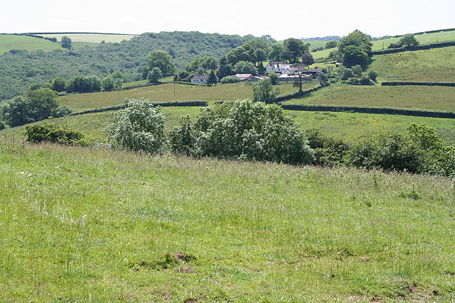
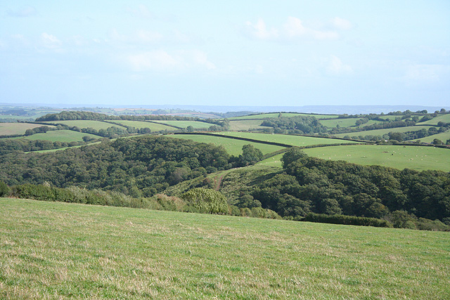
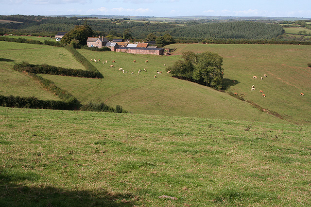
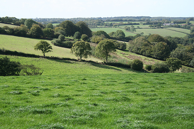
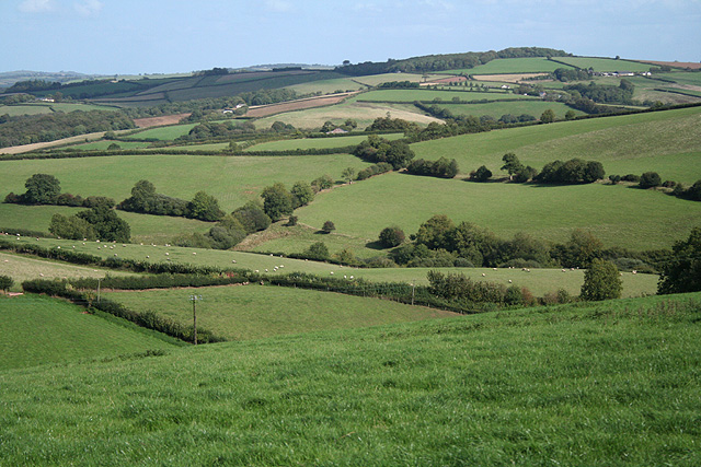
Rifton Wood, located in Devon, England, is a picturesque forest that spans across an area of approximately 100 acres. It is a popular destination for nature enthusiasts and visitors seeking tranquility away from the hustle and bustle of city life.

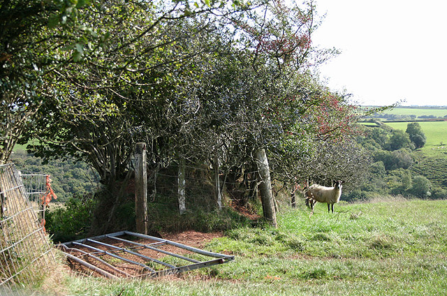
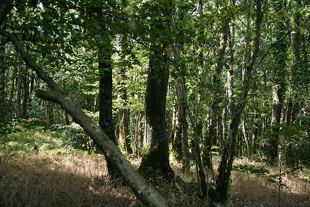
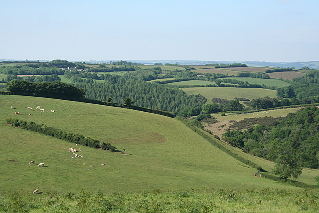
The wood is characterized by its diverse ecosystem, with a mixture of deciduous and coniferous trees providing a rich habitat for a variety of wildlife. Oak, beech, and birch trees dominate the landscape, creating a vibrant and colorful canopy during the autumn months. The forest floor is carpeted with ferns, bluebells, and wildflowers, adding to the enchanting atmosphere.

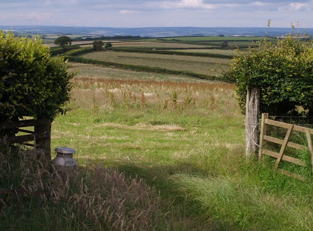
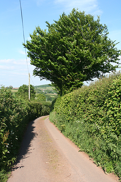
Several walking trails wind their way through the wood, allowing visitors to explore its beauty at their own pace. These trails are well-maintained and signposted, making navigation easy for visitors of all ages. The paths take visitors through different sections of the wood, offering a chance to discover hidden streams, moss-covered rocks, and small clearings perfect for picnics.

Rifton Wood is not only a haven for nature lovers but also for birdwatchers. The forest is home to a diverse range of bird species, including woodpeckers, owls, and various songbirds. Bird hides are strategically positioned throughout the wood, providing an ideal vantage point for observing these feathered creatures in their natural habitat.

Overall, Rifton Wood in Devon is a magnificent destination for those seeking solace in nature. With its lush vegetation, captivating trails, and abundant wildlife, visitors are guaranteed a truly immersive and rejuvenating experience in this idyllic forest setting.

If you have any feedback on the listing, please let us know in the comments section below.

Rifton Wood Images

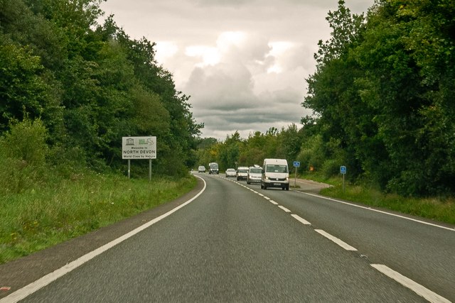
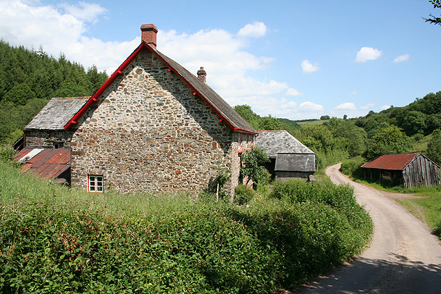
Images are sourced within 2km of 50.954798/-3.571292 or Grid Reference SS8918. Thanks to Geograph Open Source API. All images are credited.

Stoodleigh Beacon and the fields of Devon
Entering North Devon on the A361 This sign refers to the administrative district of Devon governed by the North Devon District Council. It is sometimes confused with the geographical area known as North Devon, and sometimes as Northern Devon, which includes some of Torridge District Council's domain.
Entering North Devon on the A361
This sign refers to the administrative district of Devon governed by the North Devon District Council. It is sometimes confused with the geographical area known as North Devon, and sometimes as Northern Devon, which includes some of Torridge District Council's domain.
Stoodleigh: by Coleford Bottom Looking south towards Great Coleford farm
Stoodleigh: by Coleford Bottom
Looking south towards Great Coleford farm
Stoodleigh: Aldridge Mill The watermill is thought to be the structure standing to the left, behind the miller’s house. There was a farm or smallholding here as well, judging by the adjoining barns. Looking east
Stoodleigh: Aldridge Mill
The watermill is thought to be the structure standing to the left, behind the miller’s house. There was a farm or smallholding here as well, judging by the adjoining barns. Looking east
Rackenford: towards Stoneland Farm Stoneland Farm is in the adjoining parish of Stoodleigh. On the skyline is the radio mast at Stoodleigh Beacon. Looking east-north-east
Rackenford: towards Stoneland Farm
Stoneland Farm is in the adjoining parish of Stoodleigh. On the skyline is the radio mast at Stoodleigh Beacon. Looking east-north-east
Stoodleigh: radio mast At Stoodleigh Beacon and close to a triangulation pillar. Looking north-north-west near Whitnole Cross
Stoodleigh: radio mast
At Stoodleigh Beacon and close to a triangulation pillar. Looking north-north-west near Whitnole Cross
Stoodleigh: near Whitnole Cross Looking south east towards Rifton Wood
Stoodleigh: near Whitnole Cross
Looking south east towards Rifton Wood
Stoodleigh: near West Whitnole Looking south towards Blatchworthy
Stoodleigh: near West Whitnole
Looking south towards Blatchworthy
Stoodleigh: towards Thorne Farm Looking north-north-west by the entrance to Thorne Farm
Stoodleigh: towards Thorne Farm
Looking north-north-west by the entrance to Thorne Farm
Stoodleigh: above Rifton Wood Looking south-south-east by a sharp bend on the lane from Great Coleford to Broadmead Cross
Stoodleigh: above Rifton Wood
Looking south-south-east by a sharp bend on the lane from Great Coleford to Broadmead Cross
Stoodleigh: near Broadmead Farm Looking west-north-west. Blindwell farm is near the skyline, beyond the square, on the right
Stoodleigh: near Broadmead Farm
Looking west-north-west. Blindwell farm is near the skyline, beyond the square, on the right
Stoodleigh: Great Wood By the road from Spurway Mill to Broadmead Cross, looking west-north-west
Stoodleigh: Great Wood
By the road from Spurway Mill to Broadmead Cross, looking west-north-west
Stoodleigh: above Throwcombe Cross Looking east over farmland. Waspley Farm is hidden in the valley, out of shot. On the 1940s Ordnance Survey map it appears as Warbrightsleigh Barton
Stoodleigh: above Throwcombe Cross
Looking east over farmland. Waspley Farm is hidden in the valley, out of shot. On the 1940s Ordnance Survey map it appears as Warbrightsleigh Barton
Rifton Lane A no through road leading off the A361 link road at Rifton Gate, this lane leads to the farms at Rifton and then continues as Stoodleigh Bridleway 9, descending towards the Iron Mill Stream valley.
Rifton Lane
A no through road leading off the A361 link road at Rifton Gate, this lane leads to the farms at Rifton and then continues as Stoodleigh Bridleway 9, descending towards the Iron Mill Stream valley.
Gateway beside Rifton Lane A milk churn stands beside this gateway giving a view across fields to the east of <a href="https://www.geograph.org.uk/photo/502205">SS8917 : Rifton Lane</a> - the same trees can be seen in the distance  .
Gateway beside Rifton Lane
A milk churn stands beside this gateway giving a view across fields to the east of SS8917 : Rifton Lane - the same trees can be seen in the distance .
Stoodleigh: above Great Coleford Lane to Rull and Stoodleigh
Stoodleigh: above Great Coleford
Lane to Rull and Stoodleigh
Stoodleigh: above Coleford Bottom Seen by the entrance to Thorne Farm
Stoodleigh: above Coleford Bottom
Seen by the entrance to Thorne Farm
Stoodleigh: above Wapsley The farm is hidden in a steep valley. Seen from the lane between Stoodleigh Beacon and Great Coleford
Stoodleigh: above Wapsley
The farm is hidden in a steep valley. Seen from the lane between Stoodleigh Beacon and Great Coleford
Show me another place!

Rifton Wood is located at Grid Ref: SS8918 (Lat: 50.954798, Lng: -3.571292)

Administrative County: Devon

District: Mid Devon

Police Authority: Devon and Cornwall

What 3 Words

///battling.tramps.innovator. Near Tiverton, Devon

Nearby Locations

Rifton Wood

Related Wikis

Stoodleigh

Stoodleigh is a village and civil parish in the Mid Devon district of Devon, England, located 6 miles (10 km) north of Tiverton and 5 miles (8 km) south...

Loxbeare

Loxbeare is a village and civil parish in Devon, England. The church is from the twelfth century and the tower is probably Norman. It is dedicated to St...

Oakford, Devon

Oakford is a village and civil parish in the Mid Devon district of Devon, England. It is located three miles (5 km) south west of Bampton and eight miles...

Castle Close

Castle Close is a circular earthwork located near Stoodleigh in Mid Devon, England at OS grid reference SS937181. It is described on maps as a settlement...

Have you been to Rifton Wood?

Leave your review of Rifton Wood below (or comments, questions and feedback).