Barnsclose Coppice

Wood, Forest in Devon Mid Devon

England

Barnsclose Coppice

Towards Furze Farm Countryside northwest of Brindiwell, with a view across a valley east of Upham from the ridge lane between Moor View and Brindiwell Cross. Furze Farm is on the right.
Towards Furze Farm Credit: Derek Harper

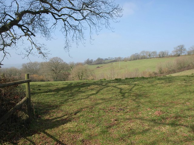
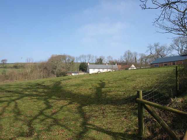
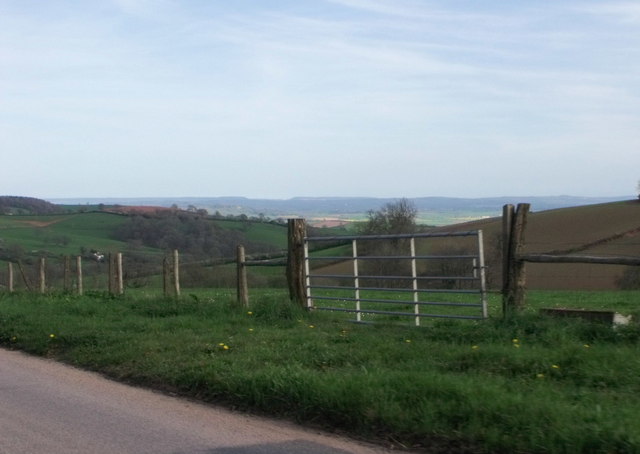
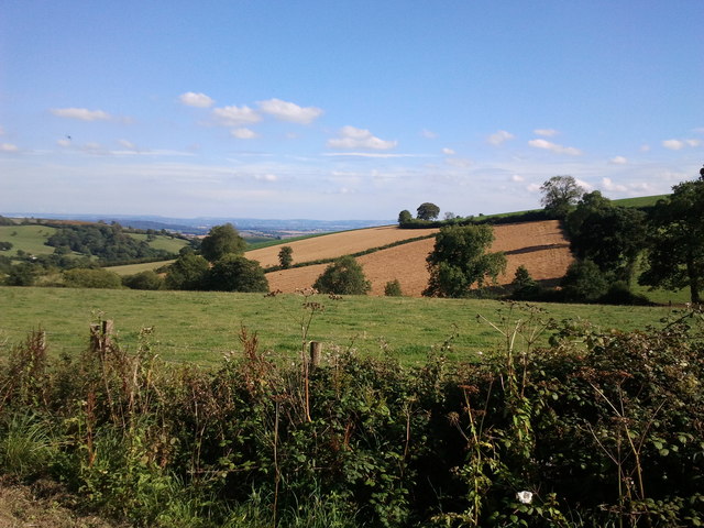
Barnsclose Coppice is a picturesque wood located in the county of Devon, England. This enchanting forest covers an area of approximately 50 acres and is situated near the village of Barnsclose. It is a popular destination for nature enthusiasts and outdoor adventurers alike.

The coppice is renowned for its diverse range of flora and fauna. Visitors can expect to find a mix of broadleaf trees such as oak, beech, and ash, which create a stunning canopy overhead. The forest floor is adorned with an array of wildflowers, including bluebells and primroses, adding vibrant pops of color to the landscape.

Wandering through Barnsclose Coppice, visitors can also discover several winding trails that lead to hidden treasures within the wood. These pathways provide the perfect opportunity for hikers and walkers to explore the natural beauty of the area. The forest is home to various wildlife species, including deer, squirrels, and a plethora of birdlife, making it an ideal spot for birdwatching.

In addition to its natural wonders, Barnsclose Coppice also boasts a rich history. There are remnants of ancient settlements scattered throughout the wood, hinting at its past significance. Explorers can stumble upon old stone walls and ruins, providing glimpses into the lives of those who once inhabited the area.

Overall, Barnsclose Coppice is a captivating destination that offers a peaceful retreat and a chance to connect with nature. With its breathtaking scenery, diverse wildlife, and intriguing history, it truly is a hidden gem in the heart of Devon.

If you have any feedback on the listing, please let us know in the comments section below.

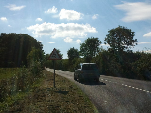
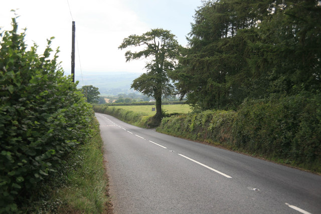
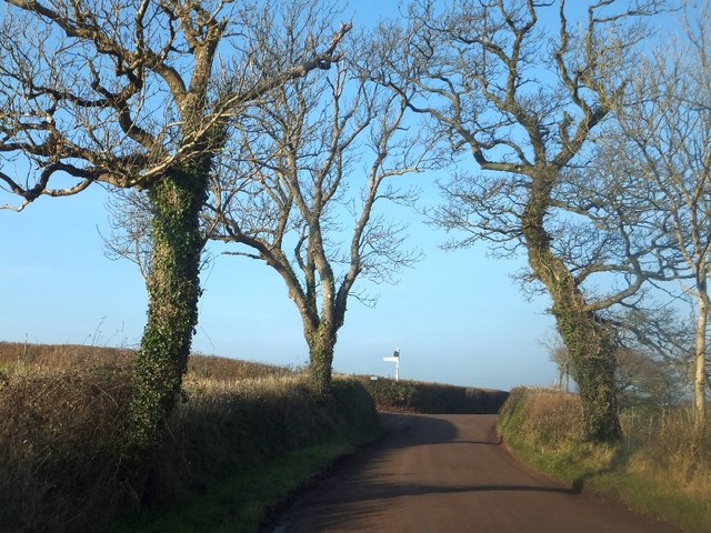
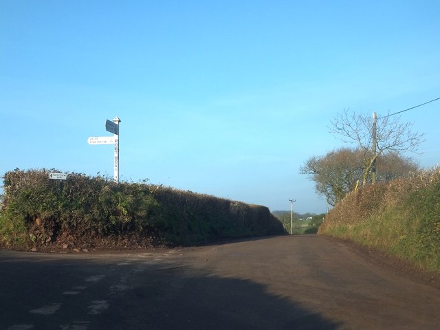
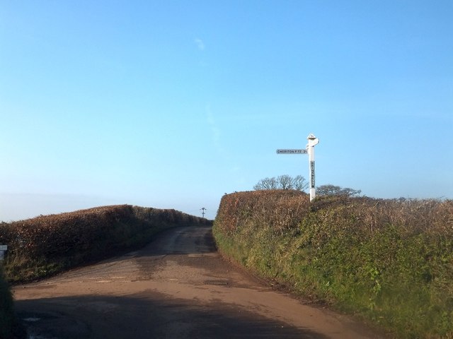
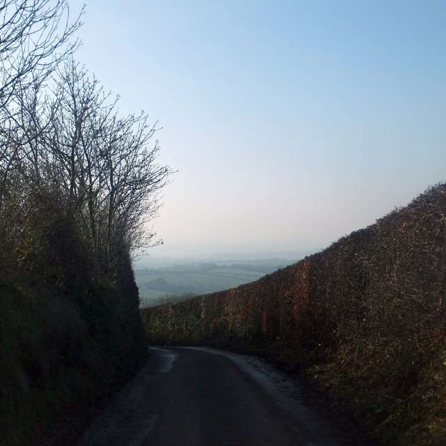
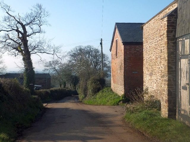
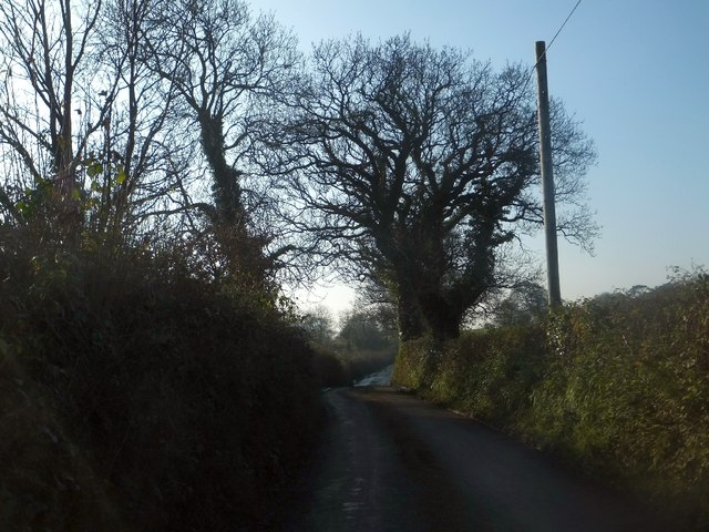
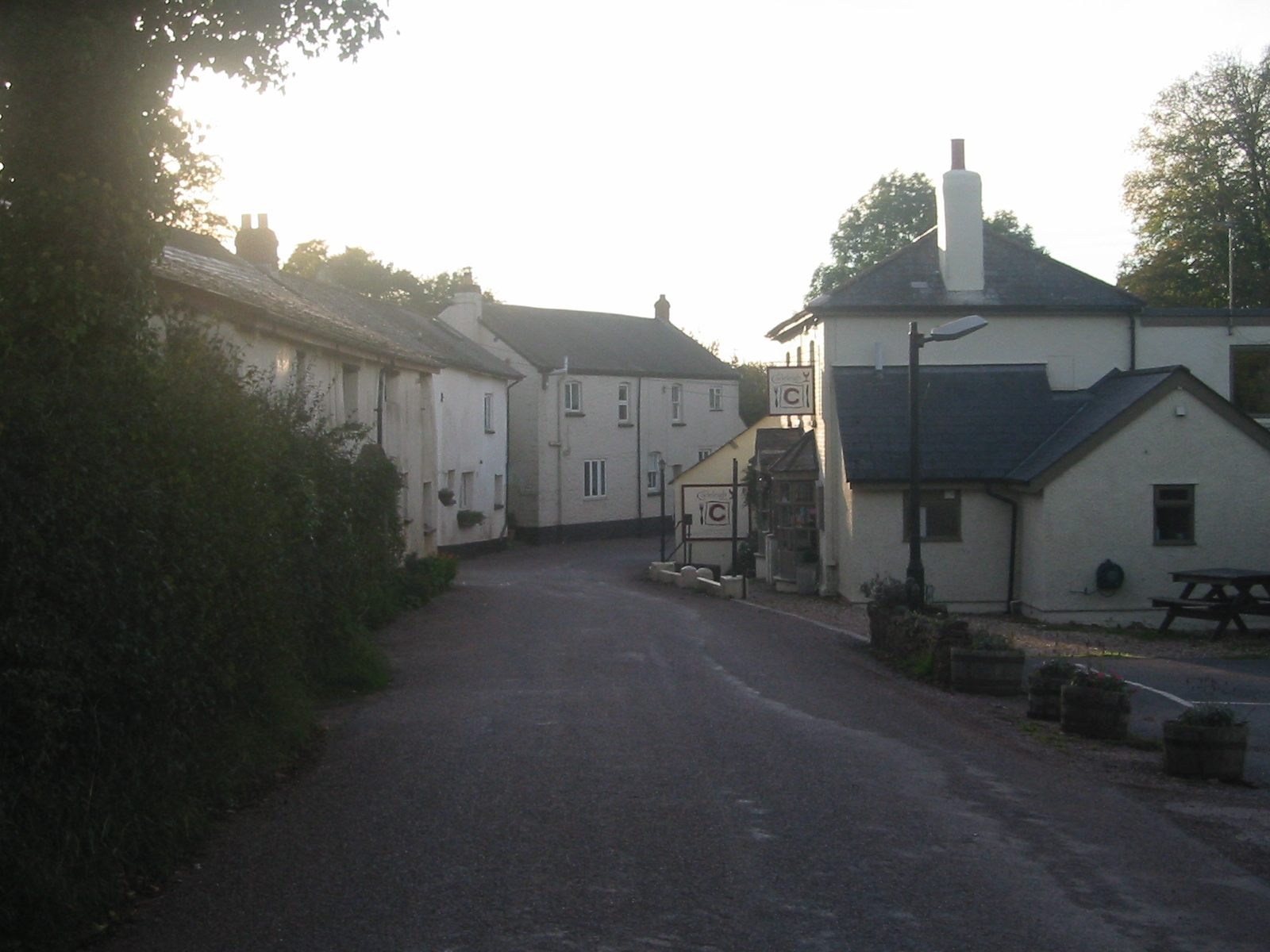
Barnsclose Coppice Images

Images are sourced within 2km of 50.848554/-3.5706167 or Grid Reference SS8906. Thanks to Geograph Open Source API. All images are credited.

Towards Furze Farm Countryside northwest of Brindiwell, with a view across a valley east of Upham from the ridge lane between Moor View and Brindiwell Cross. Furze Farm is on the right.
Towards Furze Farm
Countryside northwest of Brindiwell, with a view across a valley east of Upham from the ridge lane between Moor View and Brindiwell Cross. Furze Farm is on the right.
Lane near Brindiwell Cross The lane west of Brindiwell Cross, following a ridge towards Upham. This hedge must be a good two metres across.
Lane near Brindiwell Cross
The lane west of Brindiwell Cross, following a ridge towards Upham. This hedge must be a good two metres across.
Gate and trees near Brindiwell Cross Looking across the lane from the spot where <a href="https://www.geograph.org.uk/photo/2318502">SS8908 : Lane near Brindiwell Cross</a> was taken, with gorse in the corner of a field.
Gate and trees near Brindiwell Cross
Looking across the lane from the spot where SS8908 : Lane near Brindiwell Cross was taken, with gorse in the corner of a field.
Corner of field near Brindiwell Cross The trunk of the oak tree in <a href="https://www.geograph.org.uk/photo/2318515">SS8908 : Gate and trees near Brindiwell Cross</a> is in the foreground. over the crest of the hill, the field drops down into the valley shown in <a href="https://www.geograph.org.uk/photo/2318499">SS8908 : Towards Furze Farm</a>.
Corner of field near Brindiwell Cross
The trunk of the oak tree in SS8908 : Gate and trees near Brindiwell Cross is in the foreground. over the crest of the hill, the field drops down into the valley shown in SS8908 : Towards Furze Farm.
Field, Brindiwell An oak casts a shadow across a pasture field just west of <a href="https://www.geograph.org.uk/photo/990548">SS8907 : Brindiwell</a>.
Field, Brindiwell
An oak casts a shadow across a pasture field just west of SS8907 : Brindiwell.
Brindiwell A more distant view of the farm at <a href="https://www.geograph.org.uk/photo/990548">SS8907 : Brindiwell</a>, from further down Brindiwell Hill. It dates from the C17  <span class="nowrap"><a title="http://britishlistedbuildings.co.uk/en-96467-brindiwell-farmhouse-cheriton-fitzpaine" rel="nofollow ugc noopener" href="http://britishlistedbuildings.co.uk/en-96467-brindiwell-farmhouse-cheriton-fitzpaine">Link</a><img style="margin-left:2px;" alt="External link" title="External link - shift click to open in new window" src="https://s1.geograph.org.uk/img/external.png" width="10" height="10"/></span> .
Brindiwell
A more distant view of the farm at SS8907 : Brindiwell, from further down Brindiwell Hill. It dates from the C17 LinkExternal link .
Haydon Farm From a lane following the parish boundary along high ground between Cheriton Fitzpaine and Cadeleigh; the farm is in the latter.
Haydon Farm
From a lane following the parish boundary along high ground between Cheriton Fitzpaine and Cadeleigh; the farm is in the latter.
Gate to field near Cadbury, Devon
A lovely view from near Cadbury
A3072 to Crediton on a sunny afternoon
The A3072 looking towards Crediton
Bare trees at Post Box Cross
Post Box Cross junction In common with the signs at many Devon road junctions and crossroads, the name of the location is on the upright.  This sign differs from the norm (e.g. Brindiwell Cross <a href="https://www.geograph.org.uk/photo/3259277">SS8908 : Brindiwell Cross junction</a> a short distance away) because the name is not enclosed in a box, and the font is slightly different.
Post Box Cross junction
In common with the signs at many Devon road junctions and crossroads, the name of the location is on the upright. This sign differs from the norm (e.g. Brindiwell Cross SS8908 : Brindiwell Cross junction a short distance away) because the name is not enclosed in a box, and the font is slightly different.
Brindiwell Cross junction The road ahead leads to Upham, and Brindiwell is to the left, on the south side of the ridge that the Upham road follows.  The name on the upright of the signpost is in the normal style of Devon signposts, in contrast to that at Post Box Cross <a href="https://www.geograph.org.uk/photo/3259274">SS8908 : Post Box Cross junction</a> a short distance away.
Brindiwell Cross junction
The road ahead leads to Upham, and Brindiwell is to the left, on the south side of the ridge that the Upham road follows. The name on the upright of the signpost is in the normal style of Devon signposts, in contrast to that at Post Box Cross SS8908 : Post Box Cross junction a short distance away.
Brindiwell Hill The road slopes to the south between hedgebanks with a hazy view towards the rolling countryside between Bickleigh and Crediton
Brindiwell Hill
The road slopes to the south between hedgebanks with a hazy view towards the rolling countryside between Bickleigh and Crediton
Brindiwell and farm buildings The farmhouse is listed <span class="nowrap"><a title="http://www.britishlistedbuildings.co.uk/en-96467-brindiwell-farmhouse-cheriton-fitzpaine-d" rel="nofollow ugc noopener" href="http://www.britishlistedbuildings.co.uk/en-96467-brindiwell-farmhouse-cheriton-fitzpaine-d">Link</a><img style="margin-left:2px;" alt="External link" title="External link - shift click to open in new window" src="https://s1.geograph.org.uk/img/external.png" width="10" height="10"/></span>.  The buildings beside the road are of various dates, in stone, brick and iron.  In the centre left is the end of the track to another farm, West Farleigh
Brindiwell and farm buildings
The farmhouse is listed LinkExternal link. The buildings beside the road are of various dates, in stone, brick and iron. In the centre left is the end of the track to another farm, West Farleigh
Bare trees on the road to Great Hayne
Hedgebank by the road south of Hayne Cross
Show me another place!

Barnsclose Coppice is located at Grid Ref: SS8906 (Lat: 50.848554, Lng: -3.5706167)

Administrative County: Devon

District: Mid Devon

Police Authority: Devon and Cornwall

What 3 Words

///scooter.bumping.mills. Near Silverton, Devon

Related Wikis

Cadeleigh

Cadeleigh is a small village in the county of Devon in England. It sits in the hills above the valley of the River Exe and is about 15 km (9 miles) north...

Cadbury Castle, Devon

Cadbury Castle is an Iron Age Hillfort close to Bickleigh, Devon, England. It was later encamped by the Parliamentarian forces during the English Civil...

Cheriton Fitzpaine

Cheriton Fitzpaine is a village in Devon, England, located 4 miles (7 km) north-east of Crediton. The population of the parish in the 2011 Census was 556...

Stockleigh Pomeroy

Stockleigh Pomeroy is a village and civil parish in Devon, England at the foot of the Raddon Hills. The parish church which is dedicated to St Mary the...

Cadbury, Devon

Cadbury is a village in Devon, England. Cadbury Castle is nearby. The 15th-century Church of St Michael and All Angels features a Norman font. The church...
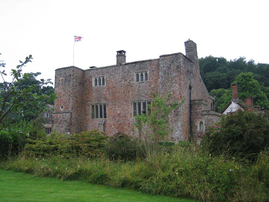
Bickleigh Castle

Bickleigh Castle is a fortified manor house that stands on the banks of the River Exe at Bickleigh in Devon, England. Once considerably larger, Bickleigh...

The Fisherman's Cot

The Fisherman's Cot is an inn on the A3072 road to the northwest of Bickleigh near Tiverton, in northeastern Devon. It is operated by Marston's Inns and...

Poughill, Devon

Poughill (pronounced "po-il") is a village and civil parish in Devon, England. It lies 5 miles (8 km) north of Crediton. In 2011, the parish had a population...

Nearby Amenities

Located within 500m of 50.848554,-3.5706167
Passing Place
Lat/Long: 50.8442044/-3.5719092
Fox's Cross
Place: locality
Lat/Long: 50.8443079/-3.5702774
The data included in this document is from www.openstreetmap.org. The data is made available under ODbL.

Have you been to Barnsclose Coppice?

Leave your review of Barnsclose Coppice below (or comments, questions and feedback).